South-Easterly Buffeting.
8th February 2024
It was a cold day with strengthening South-Easterly winds. I often find that a South-Easterly wind punches above it’s weight in terms of the effect it has on a slightly lighter than average avalanche forecaster. A South-Easterly is both very gusty, and is often as strong at mid level as it is on the summits. That is certainly the case on the North side of Aonach Mor, and around the North Face of Ben Nevis, the two main routes I use to access the mountains for forecasting duties. I think it is all due to the topography of the mountains. As an example today at about 11am (which was just about the time I turned round) the Aonach Mor met office weather station https://www.metoffice.gov.uk/weather/observations/gfh7pnq51 , which sits at an altitude of around 1180 metres was recording the wind as being from the South-Easterly at 23 mph, gusting 38 mph. However, at the CIC hut weather station https://holfuy.com/en/weather/1746 which sits at about 670 metres, the wind was from the South, and of a similar strength (25 mph) but if anything slightly stronger gusts (45 mph).
Visibility was good, and the photos below should give a good idea of how conditions were looking. I had hoped to get right up into Coire Leis to see how the little Brenva face is looking (it can be good at holding on to the ice during during periods of heavy thaw like we have just had) and if there was any soft snow in the back to the coire. However, the gusty winds, and patches of water ice/really hard snow made things feel quite hazardous. Historically patches of ice and unexpected gusts of wind are the two things that in recent years have resulted in broken avalanche forecasters. After a couple of nearly being blown over moments, I decided enough was enough, time to head home. More of the same expected tomorrow.
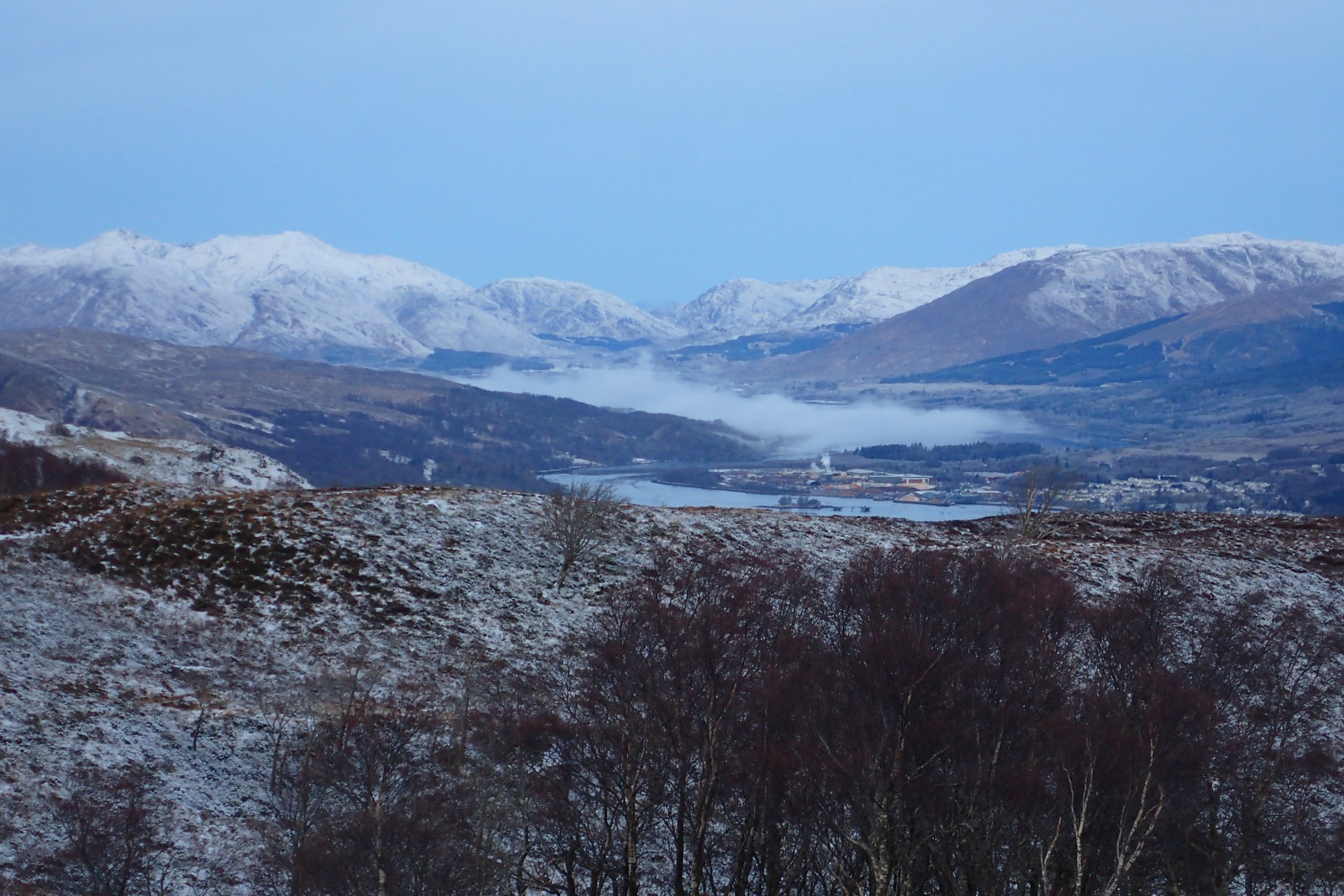
Mist over Loch Eil this morning. This is something that often occurs over the Loch on cold, still nights during the winter. It was still calm at lower levels at point (about 9am).
Looking the other way at 9am. Spindrift blowing around indicated it was getting windy on the tops and at mid-altitudes.
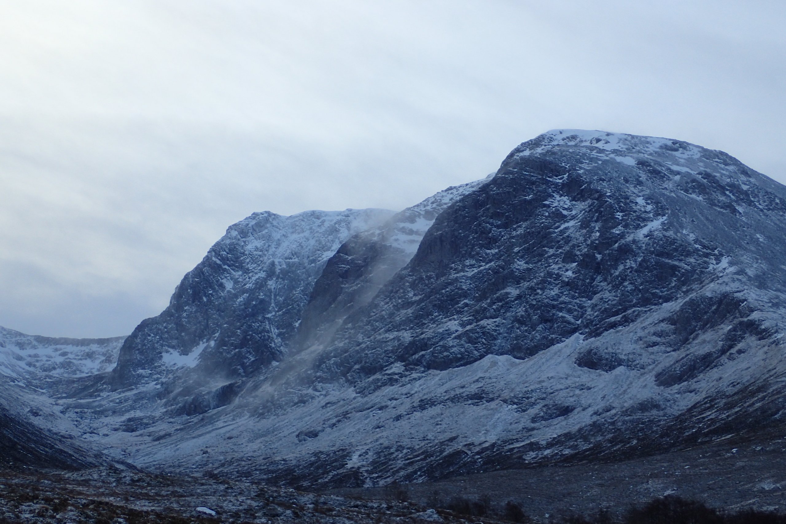
Looking into Coire na Ciste. The buttresses were looking pretty black.
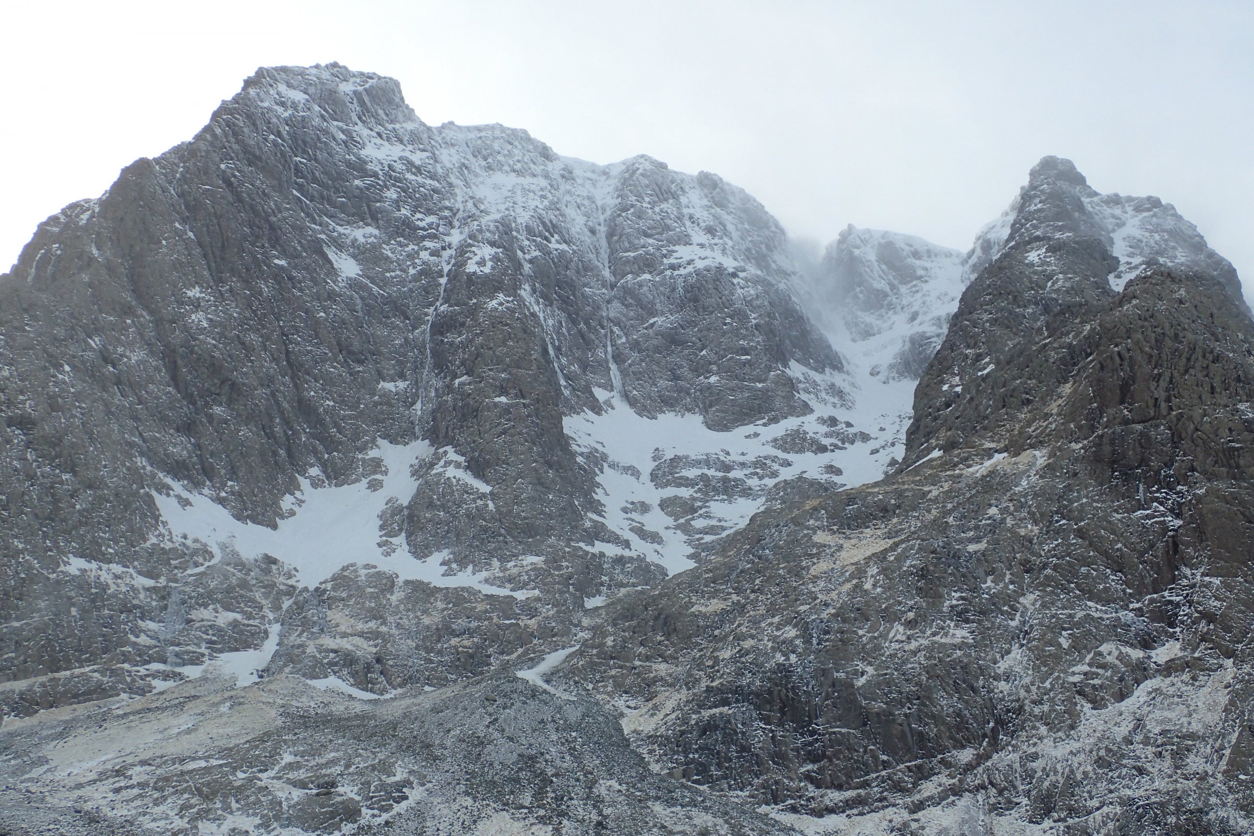
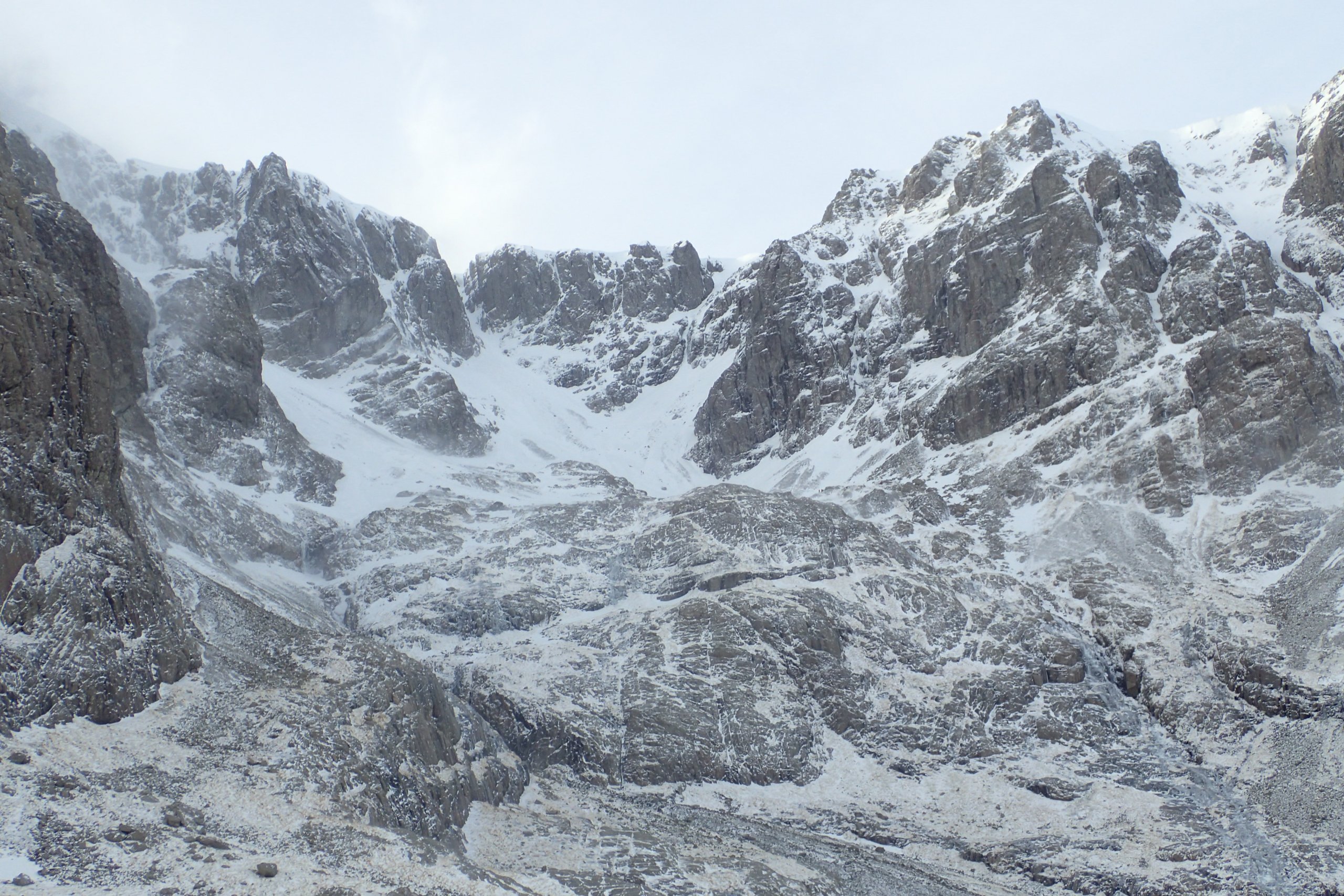
Looking up the Observatory Gully area. Not a great deal of ice about. Spindrift can be seen towards the top of the gully. However, the blowing snow did not seem to be settling anywhere, I suspect much of it was dissipating into the atmosphere.
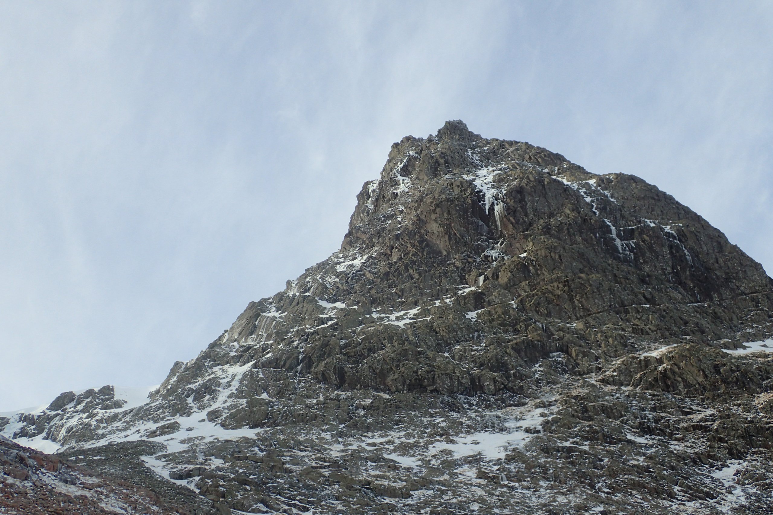
North-East Buttress from below. A few dribbles of ice, but generally pretty dry.
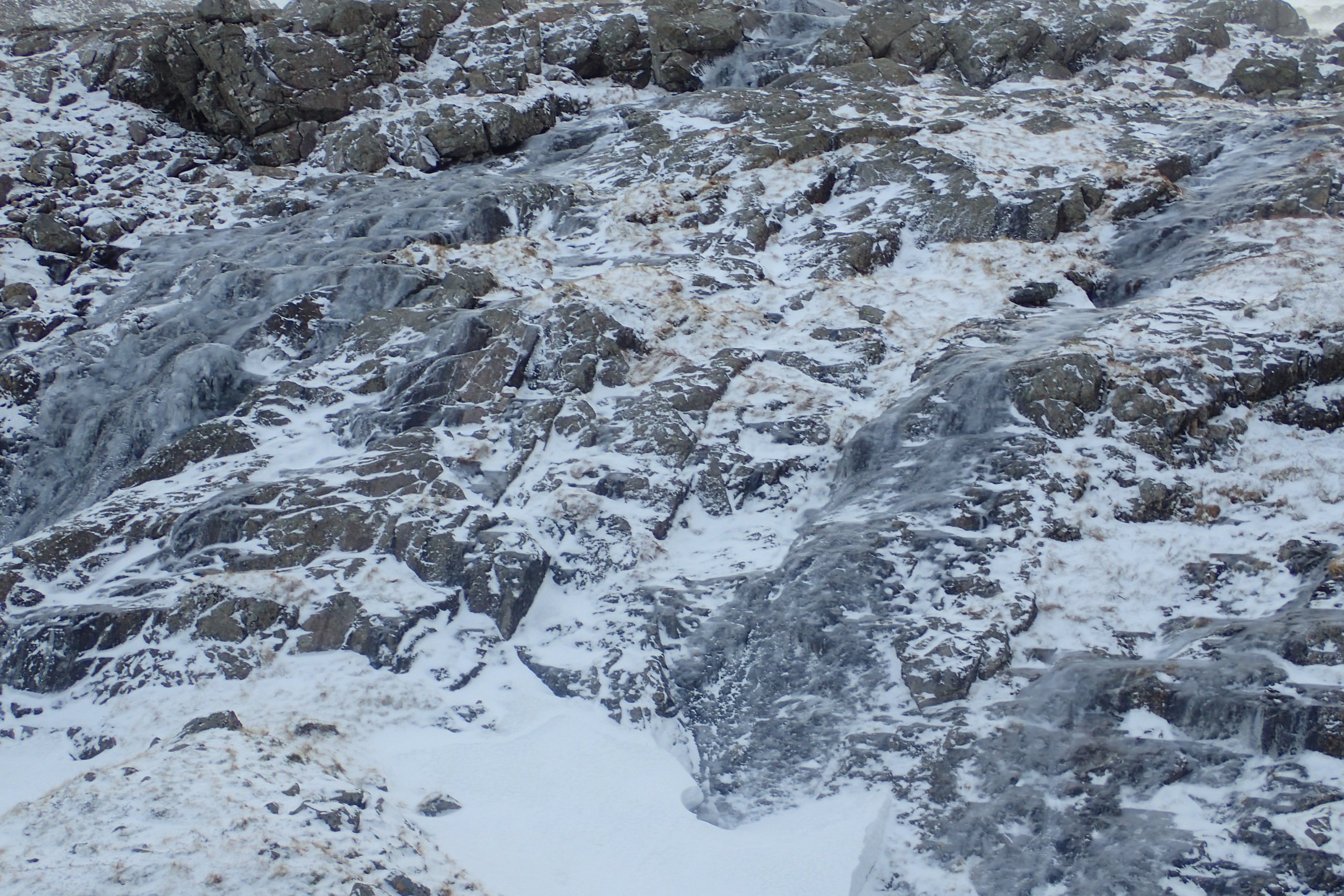
Watercourses are frozen in the cold conditions. There is also water ice on paths and hillsides creating a slip hazard.
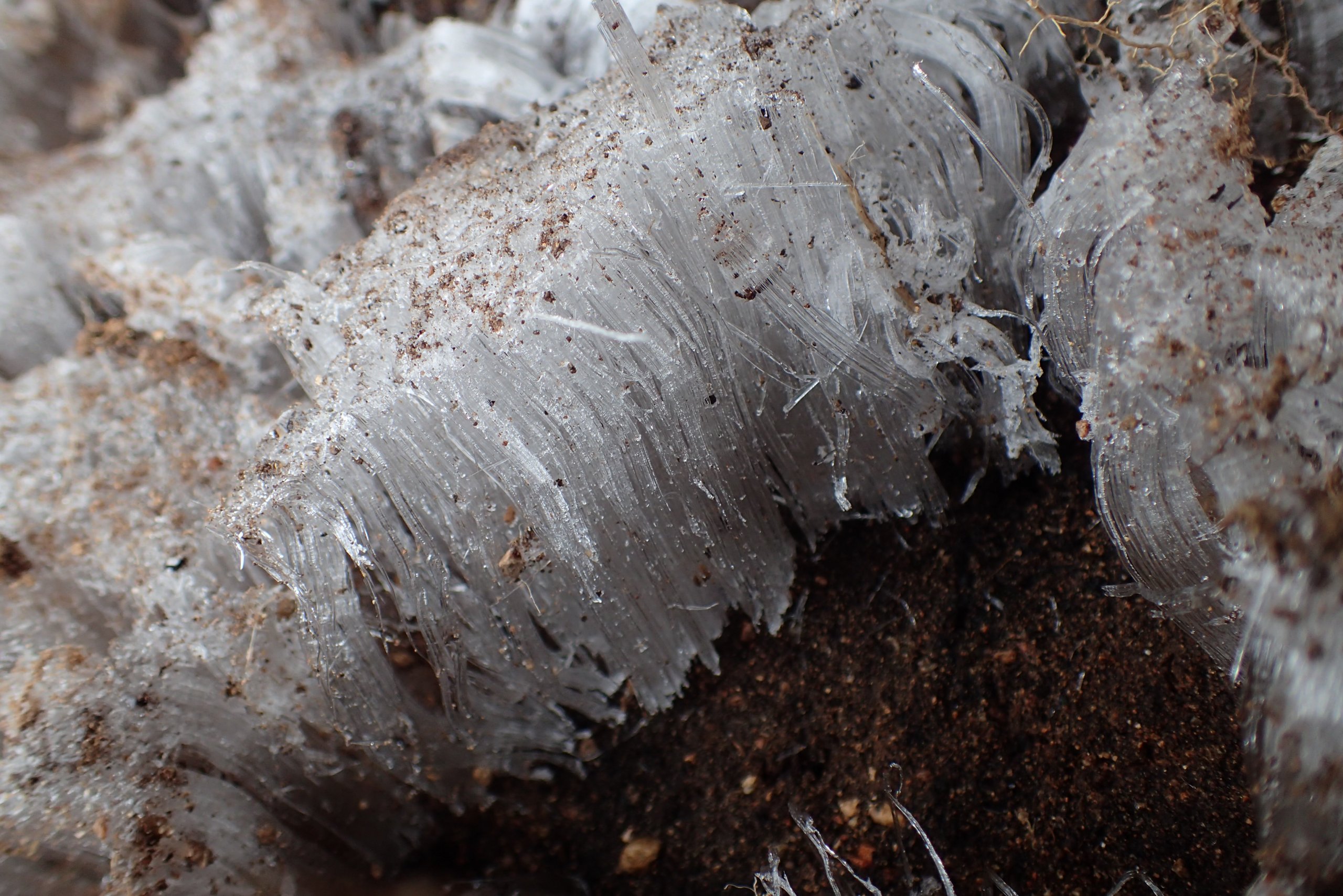
Some nice needle ice I saw beside the path. These delicate needles are formed by liquid water underground rising to the surface by capillary action and then freezing in the cold conditions. In order for needle ice to form there needs to be a process of ice segregation, which only occurs in a porous medium when supercooled water freezes into existing ice, growing away from the ice/water interface. As water permeates the ice, it becomes segregated into separate pieces of ice in the form of lenses, ribbons, needles, layers or strands of ice.
Comments on this post
Got something to say? Leave a comment