Mild and Damp Again.
18th December 2023
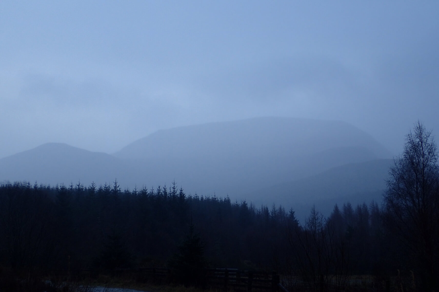
Aonach Mor this morning. A bit misty, but at least you could make out the shape of the mountain.
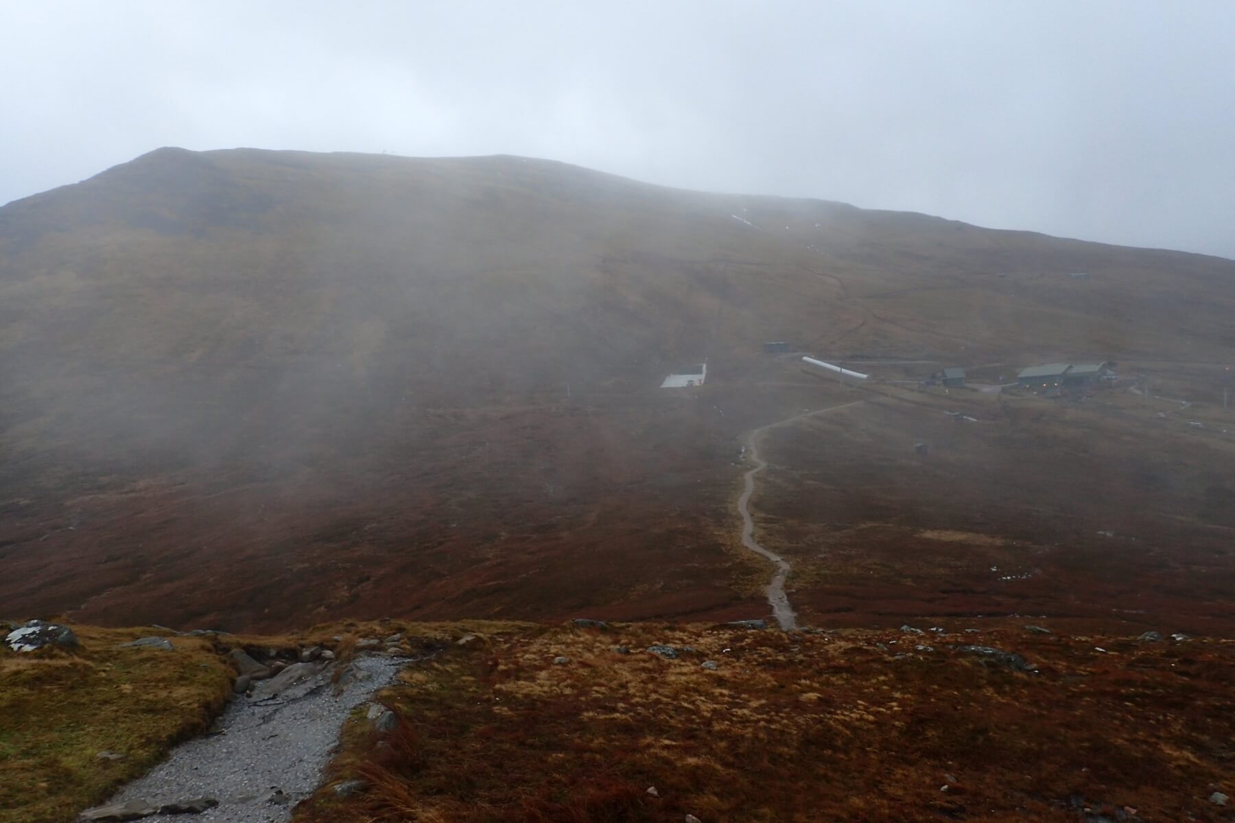
Aonach Mor from Sgurr Finnisg-aig. If you look carefully you can just about make a few small patches at the top of the Goose Gully.
Another mild and misty day. Fortunately it was not as wet as it has been in previous days. Looks like colder conditions tomorrow with some strong winds and some snow showers. It was felt that the small amount of snow which is likely to settle tomorrow, much of it will be blown off the hills in the strong winds, is not enough to justify a formal avalanche report as it is likely to go again in the mild conditions on Wednesday. Hopefully some more sustained cold and snow arriving towards the end of the week, and we can start issuing forecasts again.
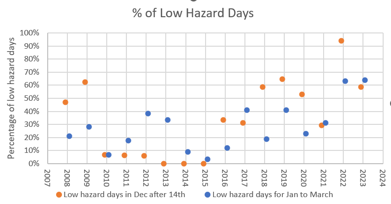
Yesterday I mentioned I would look at whether a snowy December is more likely to lead to a good winter. I spent a bit of time pondering how to do this. The two variables, how snowy December is, and how good a winter is are both quite hard to define. I considered various proxies that I have data for, midday summit temperature, cumulative snow index etc. In the end I decided to use whether the observed avalanche hazard was low as a proxy for how wintry it was. Obviously there are times when the hills are snowy, and conditions good (particularly for climbing), but the hazard low. However, it was an easy variable to work with, I thought it would be a reasonable proxy and often low hazard does correlate with not very wintry conditions.
Firstly I calculated the percentage of low hazard days during the second half of December (I just used dates of the 14th of December and later to avoid getting into complications about when the forecasting season started). This varied between 0% (no days) in the December of 2012, 2013 and 2014, and 94% of days (16 out of 17) in 2021. I then repeated this for the following January to March period. This varied between 3% of days in 2015, and 64% of days in 2023. The results are plotted in the figure below with the orange points being data for the 14th to 31st of December, and the blue dots the data for the period the 1st January to the 31st of March. The marking on the X axis are for the first of January, so the first two data points are for Dec 2007 and January to March 2008.
What can be clearly seen from the figure below is that since the winter of 2015/16 the percentage of both low hazard December days, and the percentage of low hazard days the following January to March has increased. However, all is not lost, for one there is still plenty of time for some snowy days yet this December (and it is meant to get colder with some snow at the end of the week). Even if it does not snow much in the next two weeks, there are winters such as 2007/08, 2008/09 and 2017/18 that all had relatively stable Decembers, but then a relatively low number of low hazard days in that core January to March period.
Comments on this post
Got something to say? Leave a comment