More Snow.
14th January 2023
It was another wild and snowy day on Aonach Mor today. There has been a fair bit of snow over the past 24 hours at higher levels. The cornices at the top of Coire an Lochan were bigger and less stable looking than yesterday. There looked like there had been a cornice triggered avalanche in Easy Gully. I suspect there would have been quite a bit more activity, but poor visibility prevented me from observing much else. Hopefully tomorrow will be a bit clearer, and will be able to see something.
Thanks to people for the recent comments on various posts. As pointed out by Matt in a comment on yesterday’s post, the air has been pretty humid of late (thus poor visibility on the tops). With a cooler, clearer conditions expected over the next few days, it will be interesting to see if the lapse rate does change (I will try and collect some more data, and write a bit more about this in a few days time).
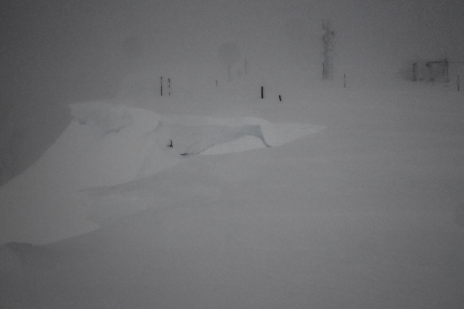
Cornices forming along the top of Coire an Lochan of Aonach Mor. I am sure there would have been a fair few sections of cornice drop off today.
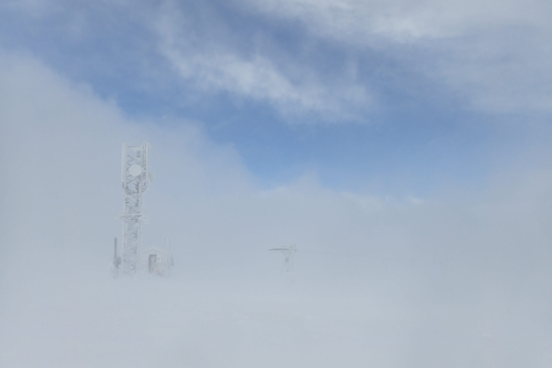
A brief clear spell. This was as good as it got, I could see blue sky above but visibility remained poor at ground level due to the amount of blowing snow.

Heavy snow shower at the Gondola station at an altitude of 650 metres. On days like today it is often easier to see how much snow is actually falling at lower levels. On the summit plateau of Aonach Mor, other than the 30 seconds of so of blue sky shown in the previous shot, it was a whiteout almost all the time, and thus hard to tell how much it was actually snowing, and how much just blowing.
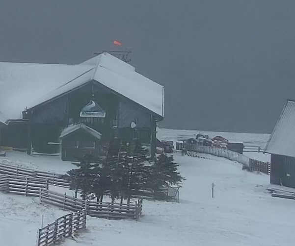
As well as the Holfuy weather stations there are a number of webcams on Nevis range. They can be found at https://www.nevisrange.co.uk/webcams/ Like the weather stations these are conveniently put at different altitudes. There is one at the race hut on the Goose (about 850m) looking up, one in this location looking down, one just above the top station (650m), and one at the base station (90m) looking up the hill. These can be useful to keep an eye on how things are changing. Above is a screen shot from the top station this afternoon. I deliberately choose the one with a windsock in it as there seems to be a few windsock aficionados out there. I am sure when our windsock expert returns from skiing in the alps, he will be able to divulge all the technical details ;)
Comments on this post
Got something to say? Leave a comment


