Mild and windy
21st January 2023
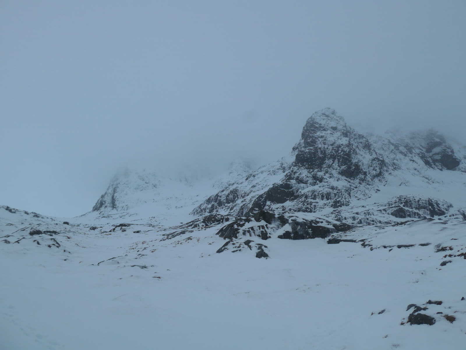
After a long cold period the freezing level rose to summit level today. Winds were gale force over the summits and the cloud base was around 900 metres. Some early showers fell as snow on the summits getting lighter and turning more to rain later. Similar conditions for the next few days. The snowpack is starting to slowly consolidate and this should continue. Cornice collapse is and will remain a significant hazard with the possibility of this triggering avalanches.
Not the best day for photos but a few from Ben Nevis below.
The Douglas Boulder

Coire na Ciste
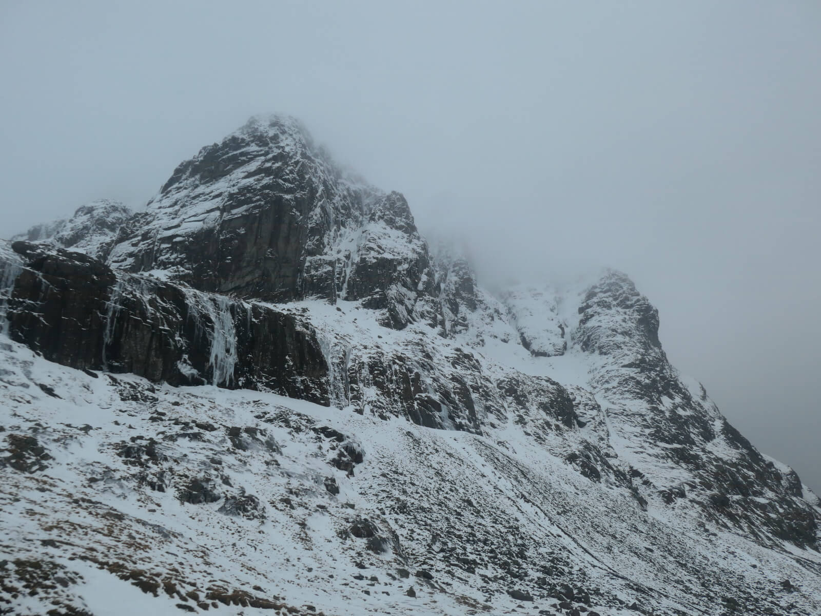
Carn Dearg Buttress to Castle Ridge
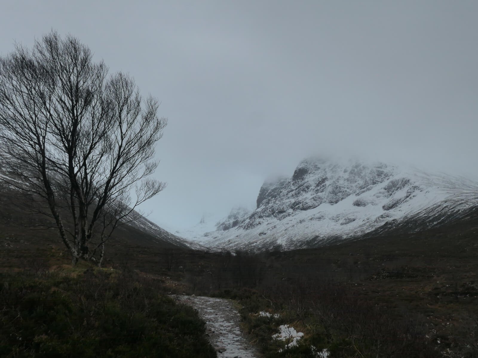
Looking up the Allt a’ Mhuilinn to Ben Nevis. The cloud base stayed around this level all day.

Meall an t-Suidhe
Comments on this post
Got something to say? Leave a comment


