Consolidation
12th February 2022
The freezing level rose to around 1200 metres this morning before dropping slowly through the afternoon. This has helped consolidate the snowpack although instabilities will remain particularly above 1200 metres but also in deeper accumulations below this height. There were very strong South-South-West winds at summit level but it was surprisingly sheltered in the lee of Ben Nevis where more commonly a strong and very gusty wind would be experienced caused by funneling and eddies.
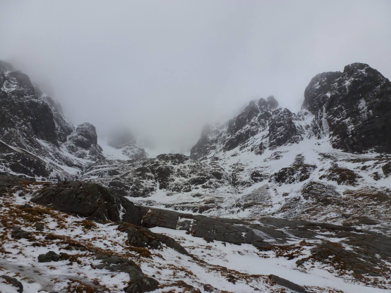
Pictures of Ben Nevis below showing snow loss at lower elevations. Higher slopes remained in cloud but not expecting much snow loss there.

Not as nice a day as yesterday.
Coire na Ciste
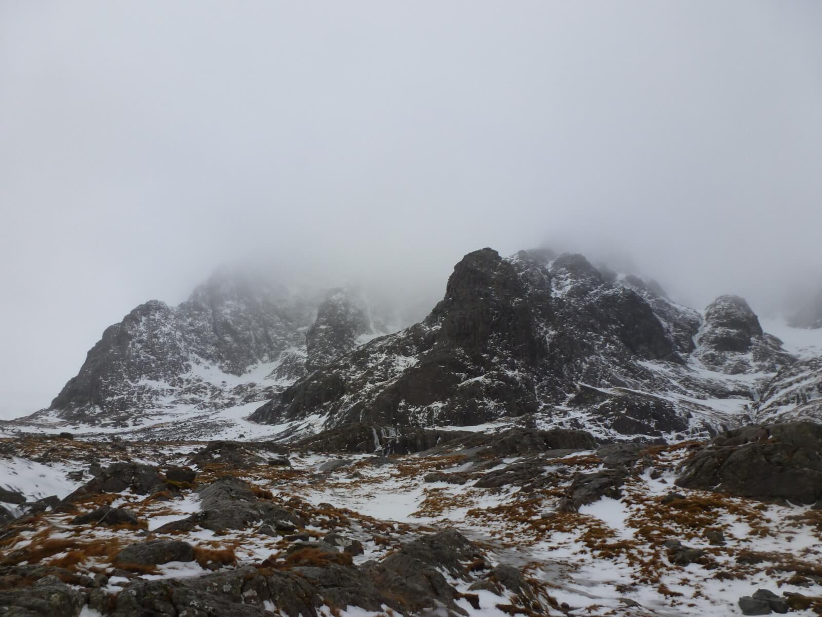
North-East Buttress (left) and the Douglas Boulder at the bottom of Tower Ridge.

Looking up Observatory Gully.

Red dear crossing the Allt a’ Mhuilinn.
Comments on this post
Got something to say? Leave a comment


