An Unwelcome Thaw
5th February 2022
Today the freezing level rose to 1000m by late morning before starting a downward trend again. This rise in temperature combined with high Westerly winds and significant rain below 1000m led to a major thaw. The freezing level tomorrow is expected to be around 400m so expect icy conditions underfoot. Further snowfall is expected over the next 24 hours brought in on a Gale Force Westerly wind. This will lead to further development of unstable windslab on North through East to South-East aspects above 800m.
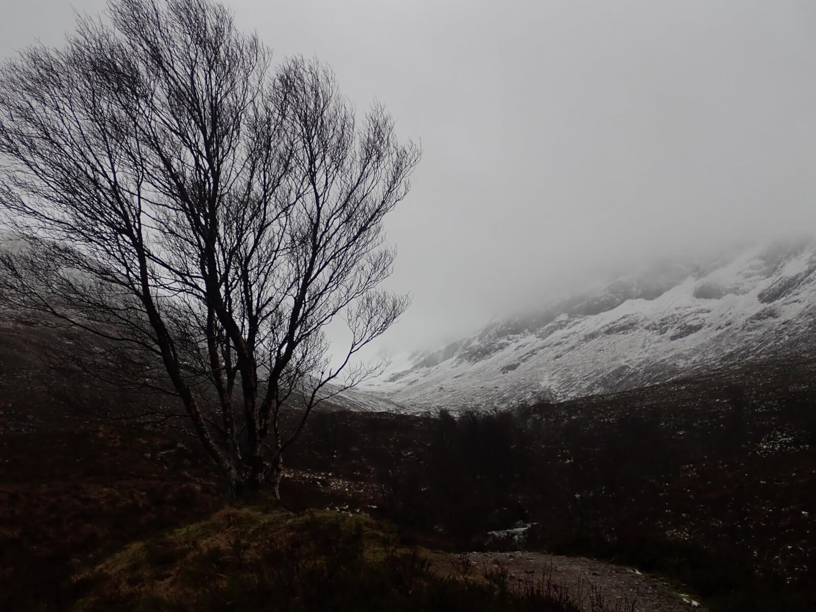
A gloomy, wet scene looking up the Allt a Mhuilinn this morning past ‘Graham’s Tree’. The snow level was around 600m.

Photo taken around 600m looking up past the CIC hut. The snow at this elevation was completely saturated. With the freezing level dropping to around 400m tomorrow, snow at this altitude is expected to re-freeze – expect icy underfoot conditions tomorrow.

This was the snow/burn at 700m above the hut. A major thaw was in progress this morning.
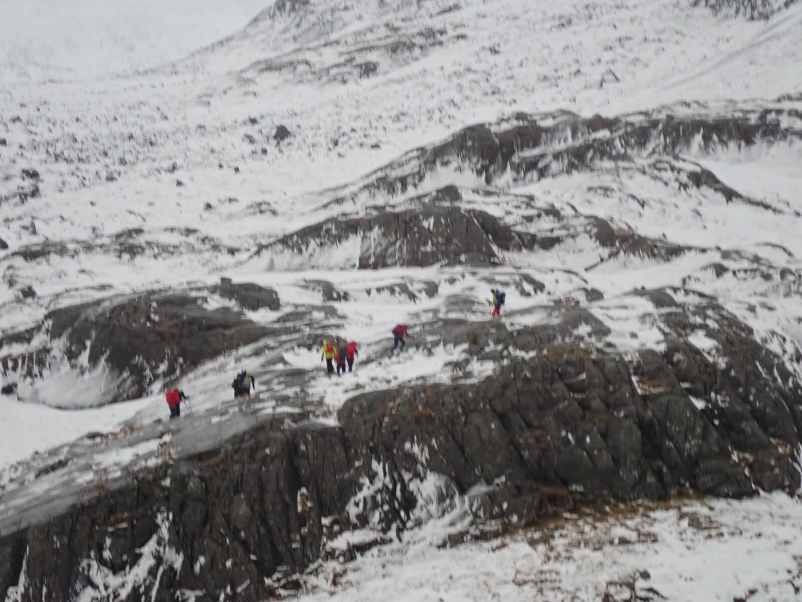
A group negotiating the slabs above the CIC hut. At this height, the wind was gusting 50-60 mph and blowing people over!

Waterfalls ‘going the wrong way’ is never a good sign.
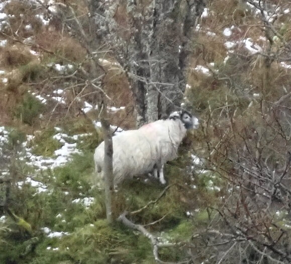
We perhaps wrongly assume that sheep are not very intelligent creatures but this one definitely had the right idea today. Sheltering low down in the Allt a Mhuilinn with it’s bum to the wind :-)
Comments on this post
Got something to say? Leave a comment


