Storm Malik
29th January 2022
There were very strong winds this morning caused by the passing of Storm Malik. These eased slightly as the day went on. After a mild night with rain and thawing snow the temperature dropped during the day freezing the surface of the existing snowpack. There was also a slight dusting of fresh snow on the higher summits. More snow is forecast for tomorrow with the arrival of Storm Corrie.
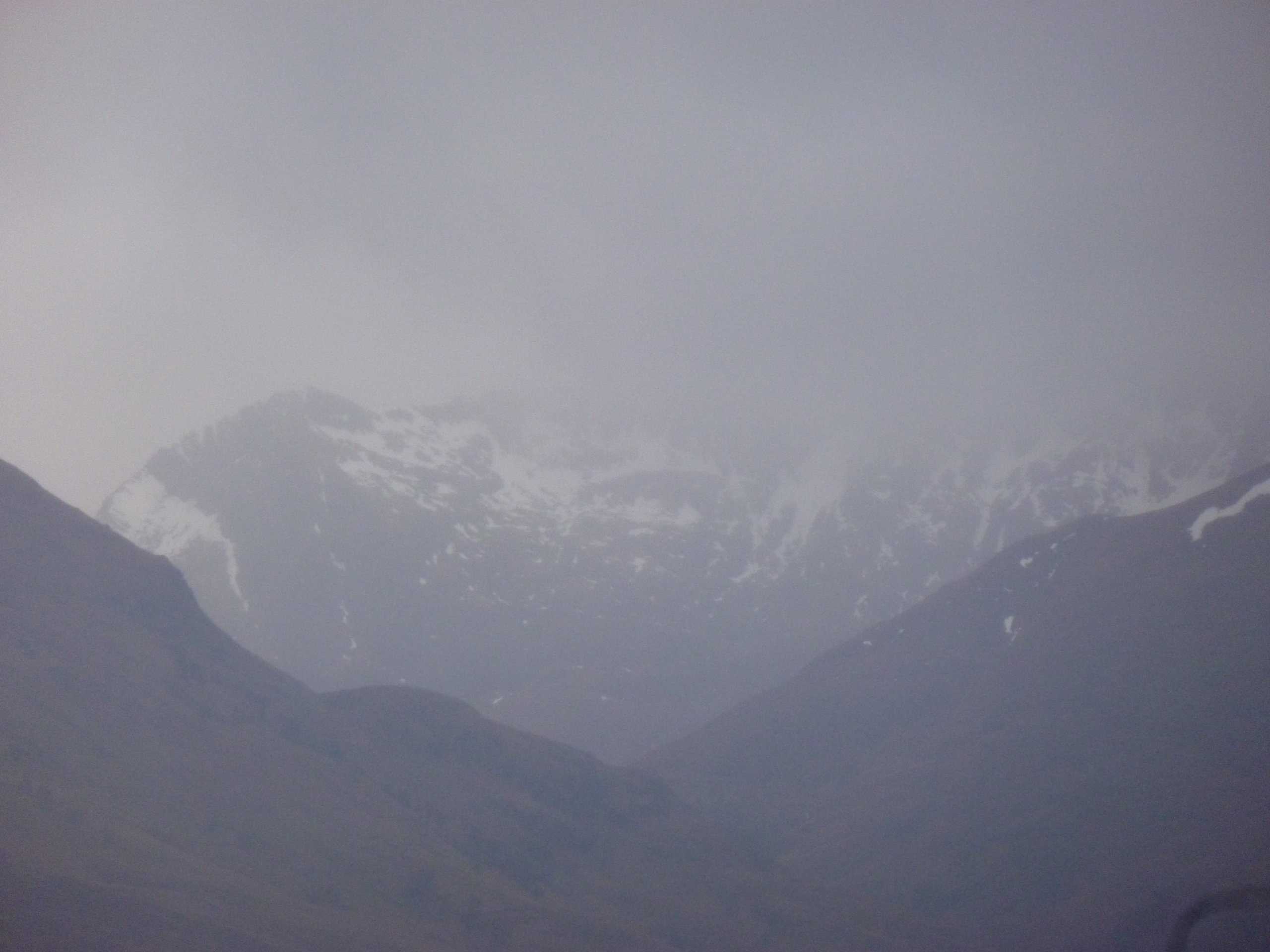
Pictures below show the current patchy Lochaber snowpack.

Carn Mor Dearg (left) and Ben Nevis (right).
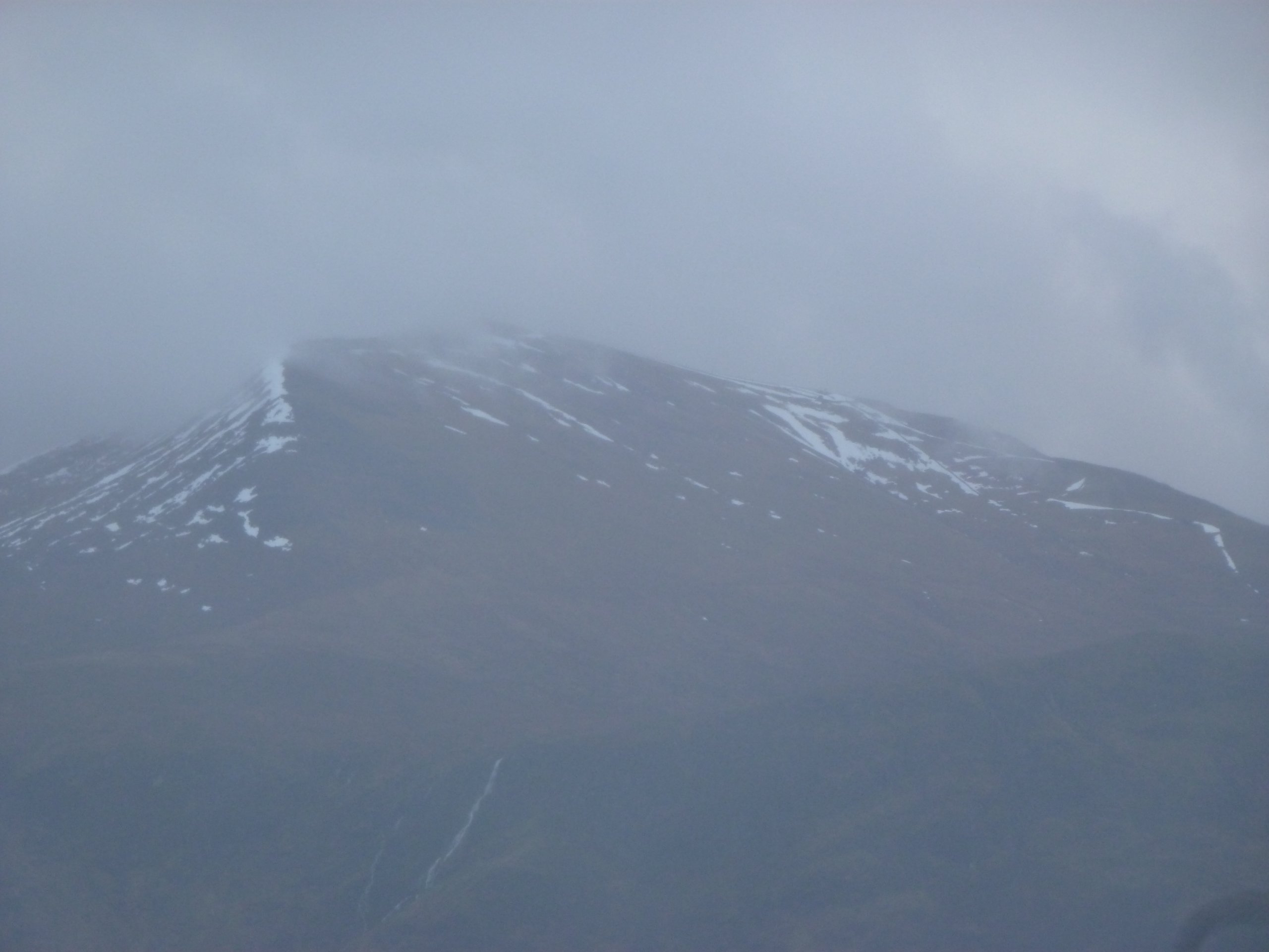
Aonach Mor from the North-North-East. The larger patches of snow are on the flank of Aonach an Nid (left) and on the Goose ski run (right).
The North-East side of Aonach Beag.

The Grey Corries
Comments on this post
Got something to say? Leave a comment


