Wetter than an Otter’s Pocket
15th February 2020
Well today was a wet one even by Lochaber standards. It chucked it down with rain all day. During the morning this would have fallen as snow at higher levels, but it had turned to rain at all levels by around 1pm. However, the forecast is colder conditions with fresh snow tomorrow. These stormy conditions will be building winter conditions even if it also temporarily leads to a rather damp avalanche forecaster.
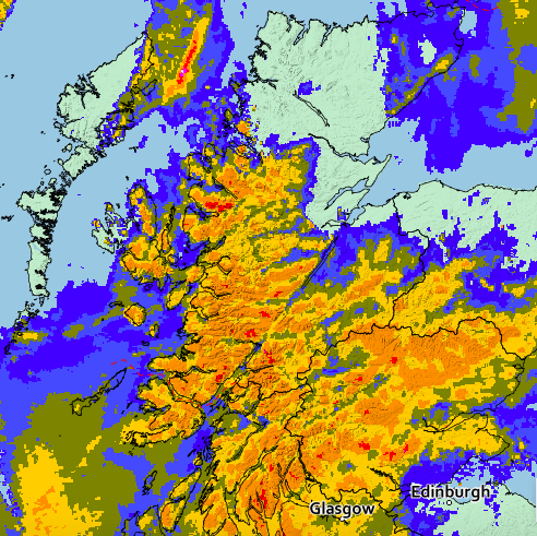
The Met Office rainfall radar image from 13.25 today. It shows quite nicely that around the West Coast the rain was heavier over the land (yellows and reds) than over the sea (blues and greens). It certainly felt pretty heavy where I was.

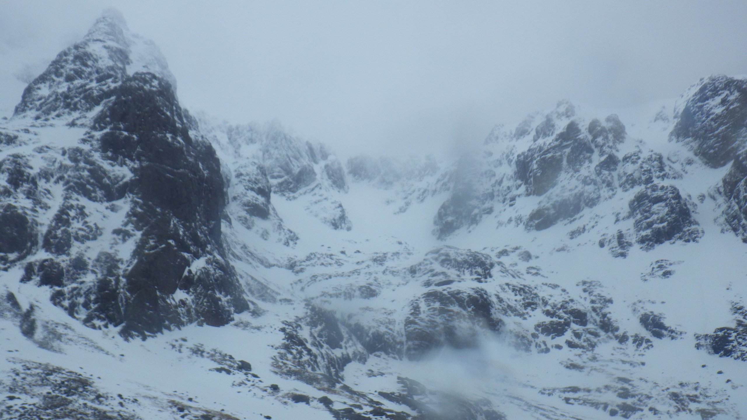
Looking up into Observatory Gully area. There may have been some fresh avalanche debris in there. It was hard to tell and in these conditions it didn’t feel a very sensible idea to go and investigate more closely.
Coire na Ciste.

The path down from the CIC hut was more than slightly damp in places.
Comments on this post
Got something to say? Leave a comment


