Rain then fresh snow
14th March 2019
Rain to around summit level for a time overnight followed by colder temperatures and fresh snow, with strong winds throughout, has left very variable conditions today. Poor visibility was again making observation difficult.

The cloud lifted to summit level as I descended. The snow line is around 600 metres with wet snow up to 800 metres and a mixture of fresh drier snow and a melt/freeze crust above. This crust felt icy on skis but was breakable on foot.

Nevis Range ski patrol using a rope to approach the cornice edge above Coire Dubh. Drifting fresh snow was building fresh, soft cornices quite quickly.
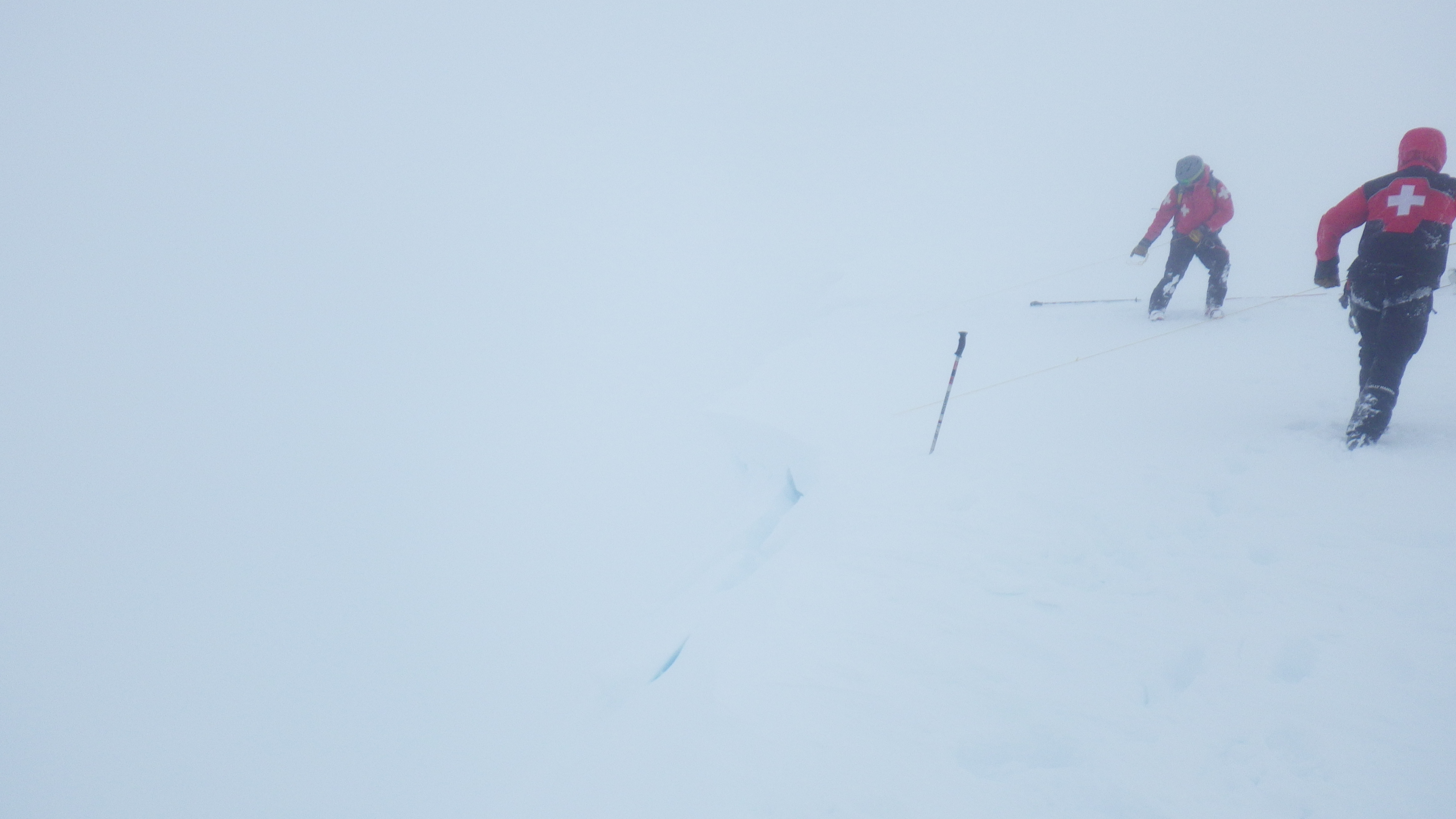
Nevis Range ski patrol using a thin cord with knots tied at intervals to saw through a cornice and cause it to collapse. Often this will trigger an avalanche on the slope below and give information on the snow stability. Unfortunately today the visibility was too poor to see what happened on the slope below.
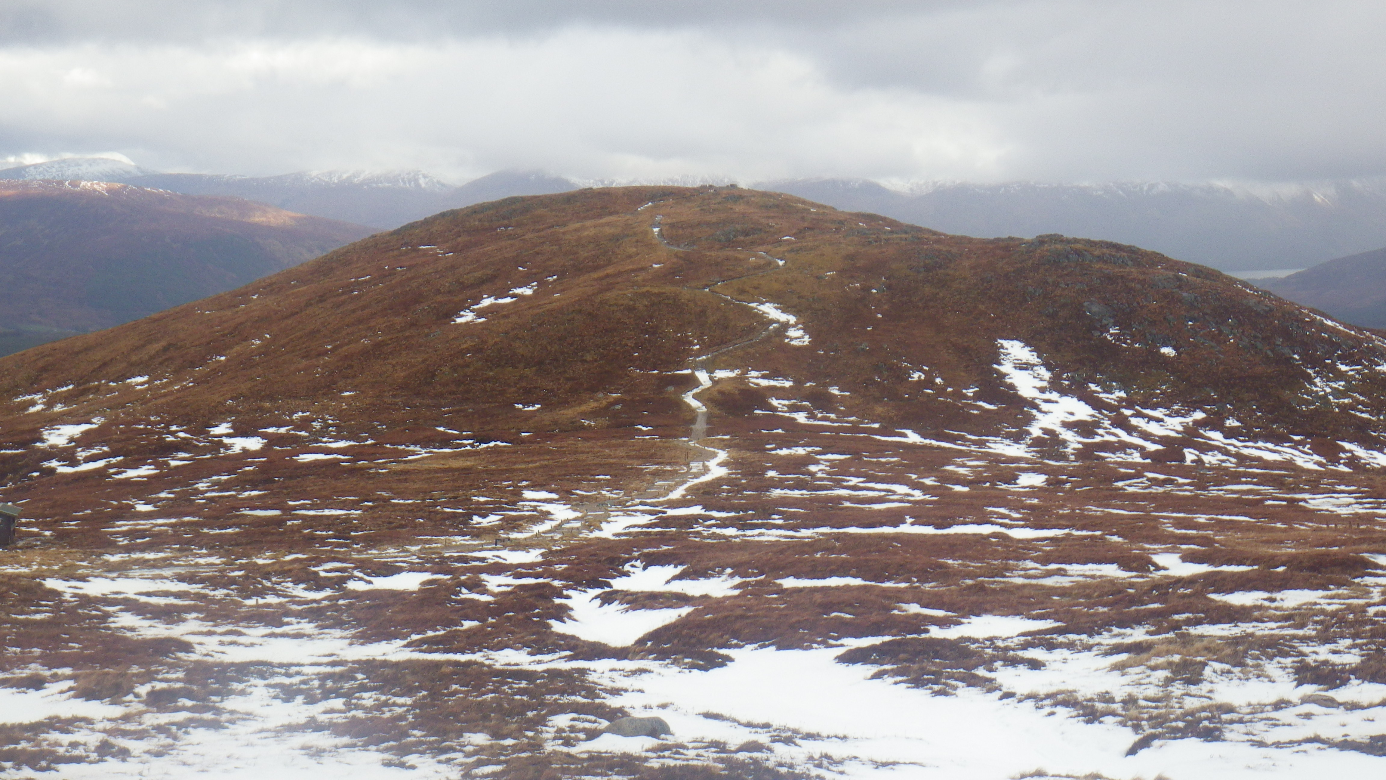
Sgurr Finnisg-aig has now lost most of it’s snow (above). Yesterdays picture below.

Comments on this post
Got something to say? Leave a comment


