‘Drookit’
9th April 2026
‘Drookit’ is a Scot’s word typically used to describe someone who is completely drenched after a heavy downpour of rain. This seems an entirely appropriate word for the conditions experienced by the forecaster today on Aonach Mor.
As the freezing level lowered, the rain turned to snow. Lying as sleety, wet snow as low as 700 meters. Above 1000m, the snow during the afternoon was dry enough to start drifting in the strong South-Westerly winds. This evening and overnight we are expecting up to 10cm of fresh snow on the higher tops which will create a localised windslab problem on North-West through North to East facing aspects above 1000m. Areas mainly affected will be gully tops and corrie rims. The avalanche hazard will be moderate. The snow showers are expected to clear by morning.
Photos below give a ‘flavour’ of the ‘drookit’ conditions on Aonach Mor today.
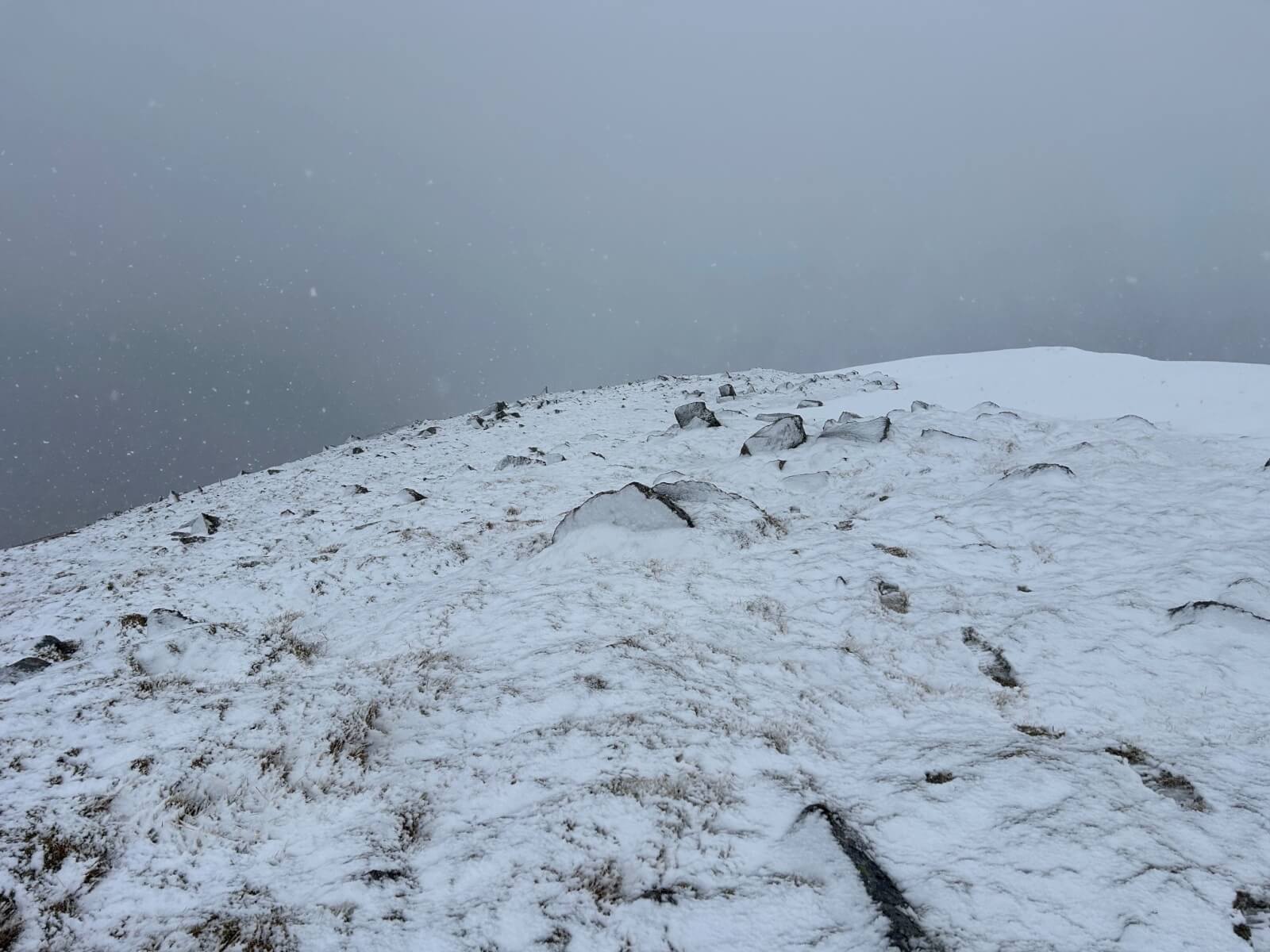
Soft, wet snow at an altitude of 1150m on Aonach Mor. Here, overlaid on wet, soggy and bare ground.
Looking East over the side of the Nid Ridge, down into Coire Dubh and the Braveheart Chair. The old snow patches rimming the edge of the corrie had firmed up nicely.
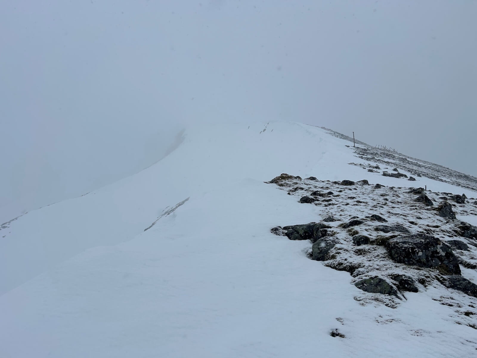
Looking along the corrie rim of Coire Dubh. The old snow continued to consolidate in the increasingly cold temperatures and is now generally stable.

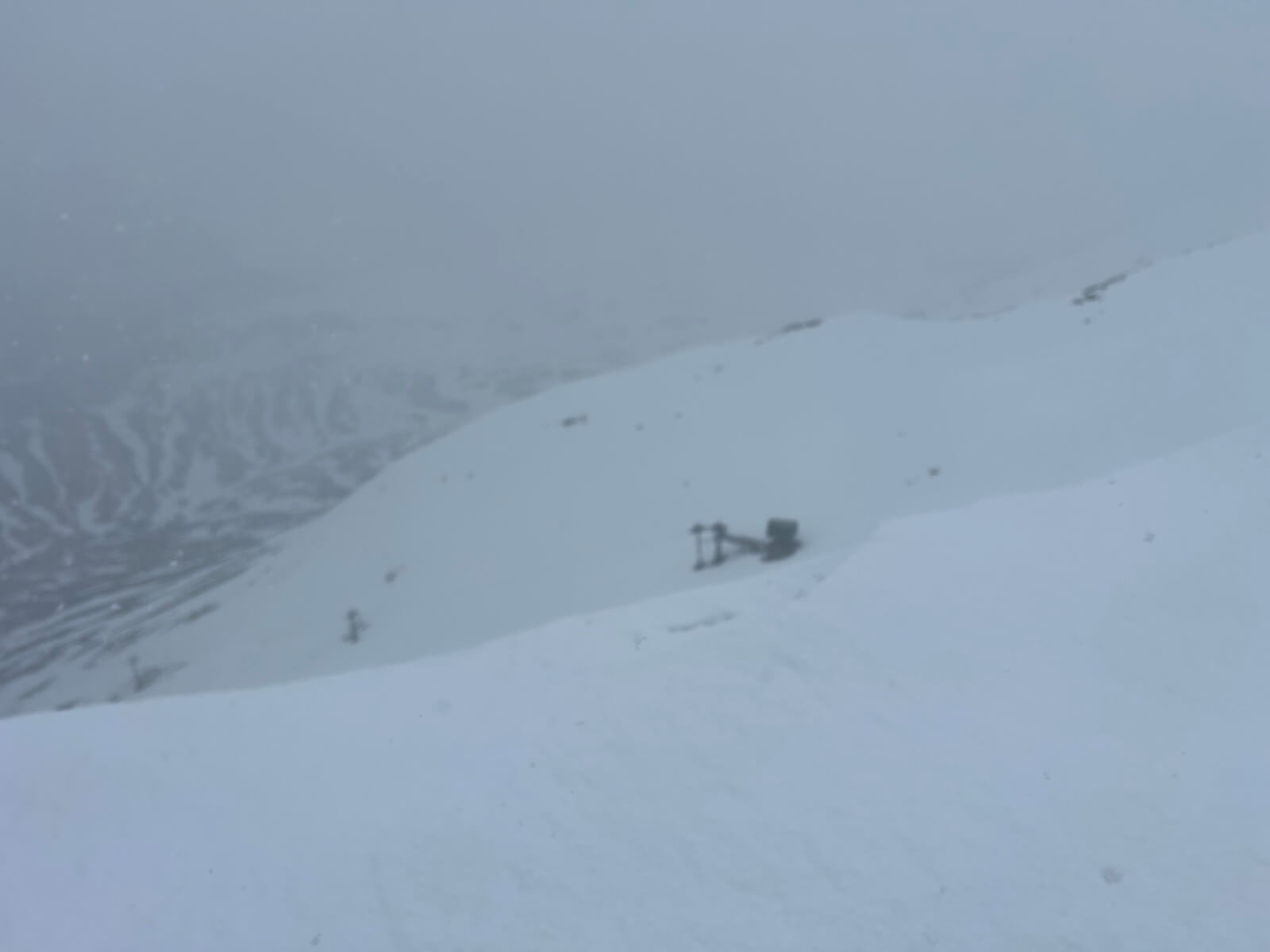
The summit communication mast. Poor vis here. Approx 5cm of fresh snow overlaid the pre-existing snowpack which was firming up nicely.
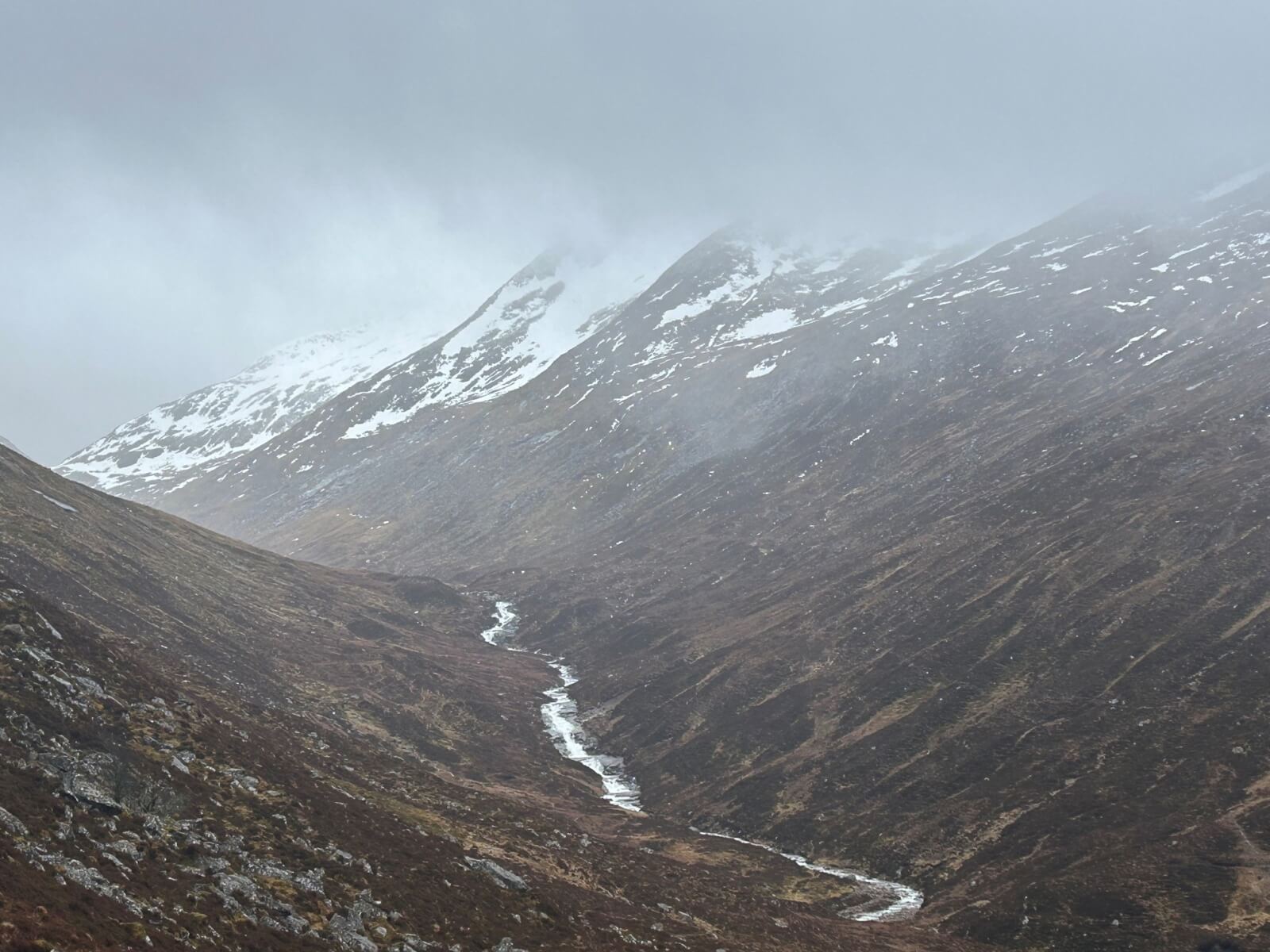
Looking up the Allt Daim which is the glen which separates Aonach Mor and Carn Mor Dearg. The burn was still high, indicating that there was still plenty of snow melt and rain at lower elevations. The distinctive ridges on the East face of Carn Mor Dearg visible on the RHS of the glen.
Comments on this post
Got something to say? Leave a comment


