Winter returning
11th March 2026
The temperature dropped today and there were snow showers, heaviest before dawn. Gale force winds have caused unstable windslab to be deposited on North to East aspects above 1000 metres. The older snowpack has frozen and has a firm surface.
It’s forecast to remain windy and reasonably cold with further snow showers for the next few days with the wind easing on Saturday.
Photos below from Aonach Mor.
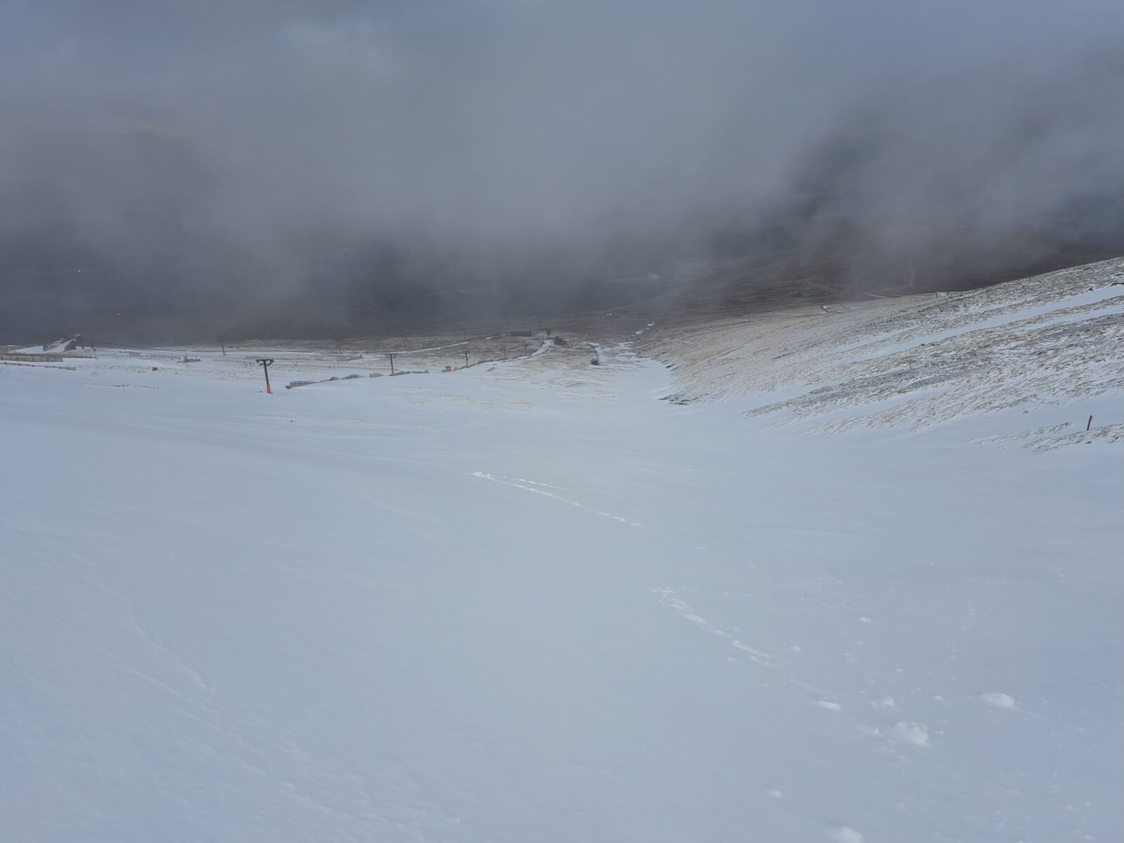
Looking down the Goose at Nevis Range.
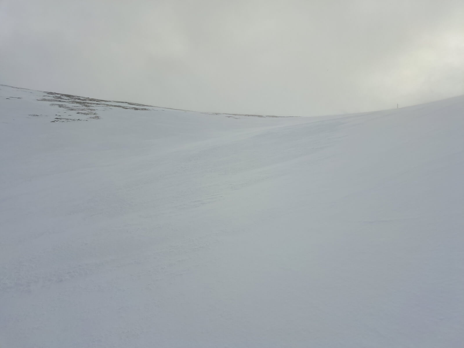
The top of the Goose.
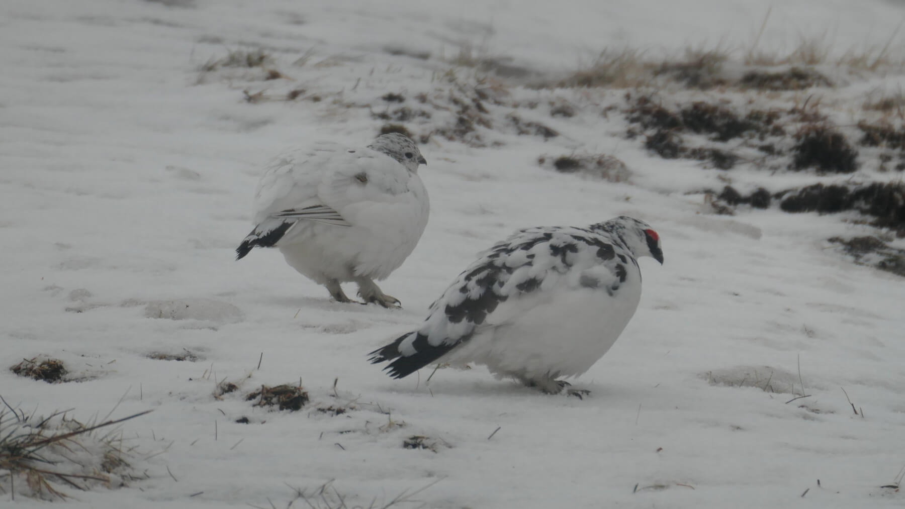
A pair of ptarmigan with the male on the right.
Comments on this post
Got something to say? Leave a comment


Mark Figiel
11th March 2026 6:20 pm
Got a question regarding the avalanche in Coire an Lochan. I believe ( according to what I have read in snow patches in Scotland ) their is a protalus rampart in Coire an Lochan , which is one of the places in that Coire which holds snow the longest and occasionally all through the summer ( 2015 )
Is this protalus rampart near the Lochan and was it affected by the avalanche? If so does the debris break up and bond with the snow already there so increasing the depth and longevity of that snow patch.
lochaberadmin
11th March 2026 7:36 pm
Hi Mark
The protalus rampart is well above the lochan and nearer the bottom of the crags. The fairly recent big avalanche in Coire an Lochan was in that part of the corrie and the avalanche probably went over the protalus rampart. It was pretty much full of snow already so the avalanche might have topped it up a bit but most of the debris ended up further down the hill near the lochan.
Mark Figiel
11th March 2026 10:29 pm
Thanks for clarifying.
Stephan Harrison
12th March 2026 9:58 am
I was there a week or so ago and I wondered whether repeated avalanches over time have affected the coire floor to produce an impact lochan? The distal side certainly seemed to have a well-developed ridge of boulders (although we were quite a long way above it).
lochaberadmin
12th March 2026 4:13 pm
Hi Stephan
Many corrie floors have lochans created by glacial action and I’d always assumed Coire an Lochan was the same. I’ll need to ponder your idea that it could be caused by avalanche action.
Stephan Harrison
12th March 2026 5:00 pm
Yes, most of them are but some are produced by avalanches. There’s a well-known one in Coire na Ciste which has been written about by Colin Ballantyne (https://doi.org/10.1080/00369228918736750)
lochaberadmin
12th March 2026 6:46 pm
Thanks for sharing the paper which I hadn’t seen before. The lochan in Coire an Lochan is very different to the one in Coire na Ciste. They are both at the end of avalanche run-outs. The Coire an Lochan lochan is bigger, has much more vegetation around it, has much less of a rampart beyond it and has a stream running out of it.
There’s a photo on our blog of 20th March 2025 for readers who want to see what the lochan in Coire an Lochan looks like from the top of Easy Gully. I might go and investigate further when there’s less snow at the end of the season.