Summit snow
26th February 2026
The freezing level dropped to around 1100 metres this morning before rising to just above the summits. There were gale force South-westerly winds and rain/sleet/snow depending on where you were and the tome of day.
Fresh unstable windslab was developing this morning above 1150 metres with fresh, fragile cornices also building quite quickly.
There has been a significant thaw over the last few days, particularly noticeable below 900 metres.
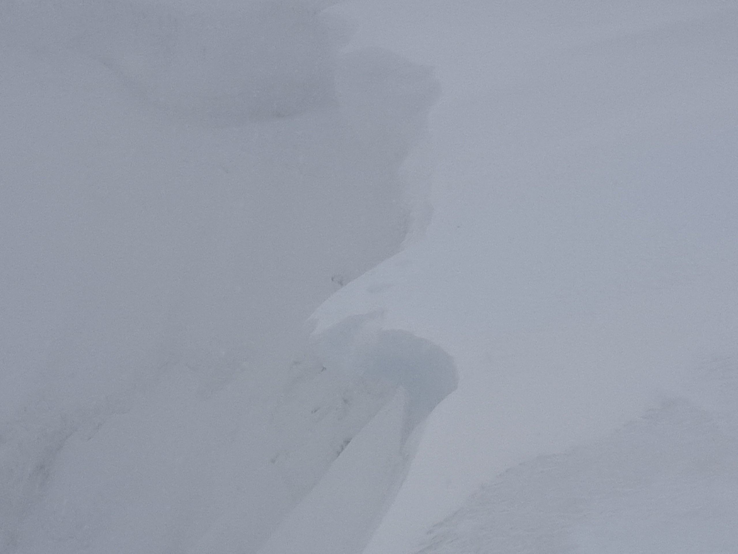
Fresh fragile cornice.
Coire an Lochan
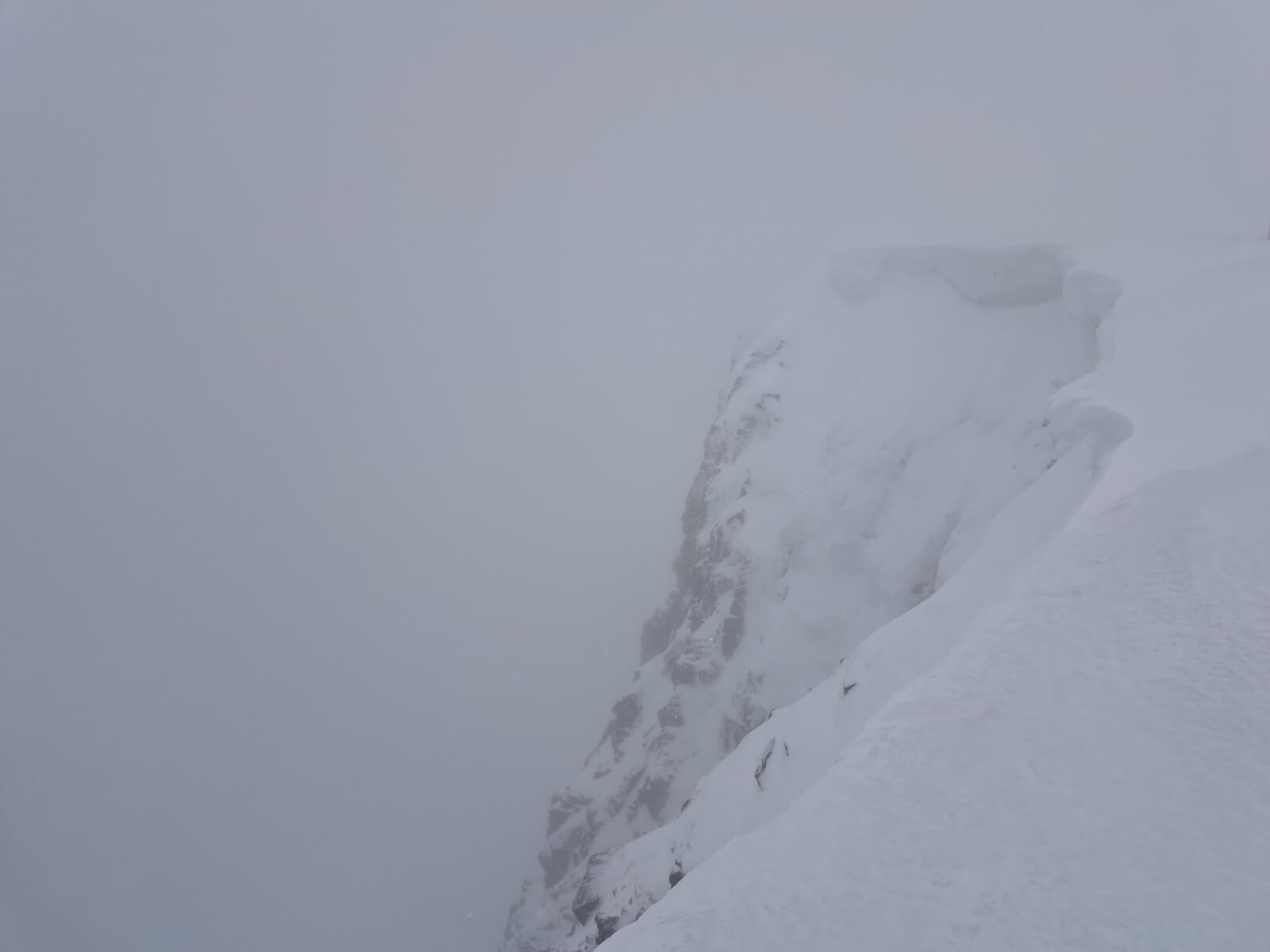
The Summit run at Nevis Range.
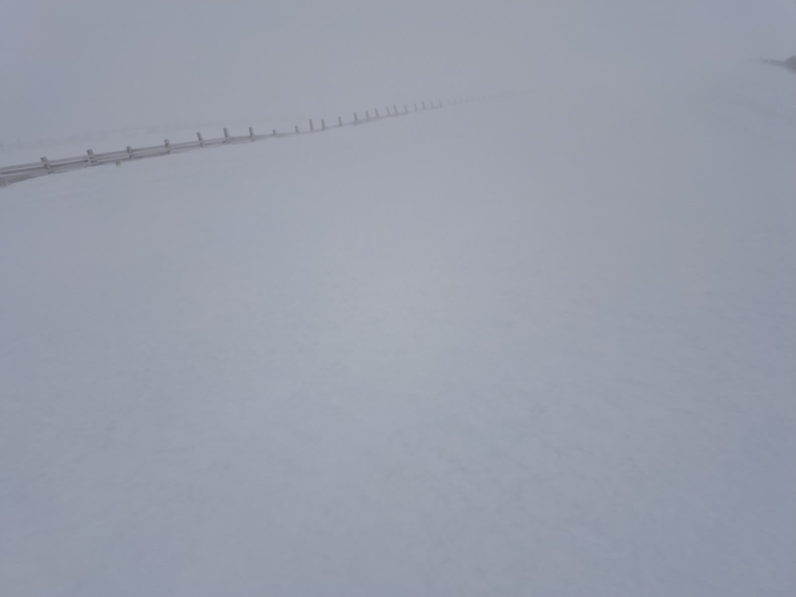
Looking up the Goose.
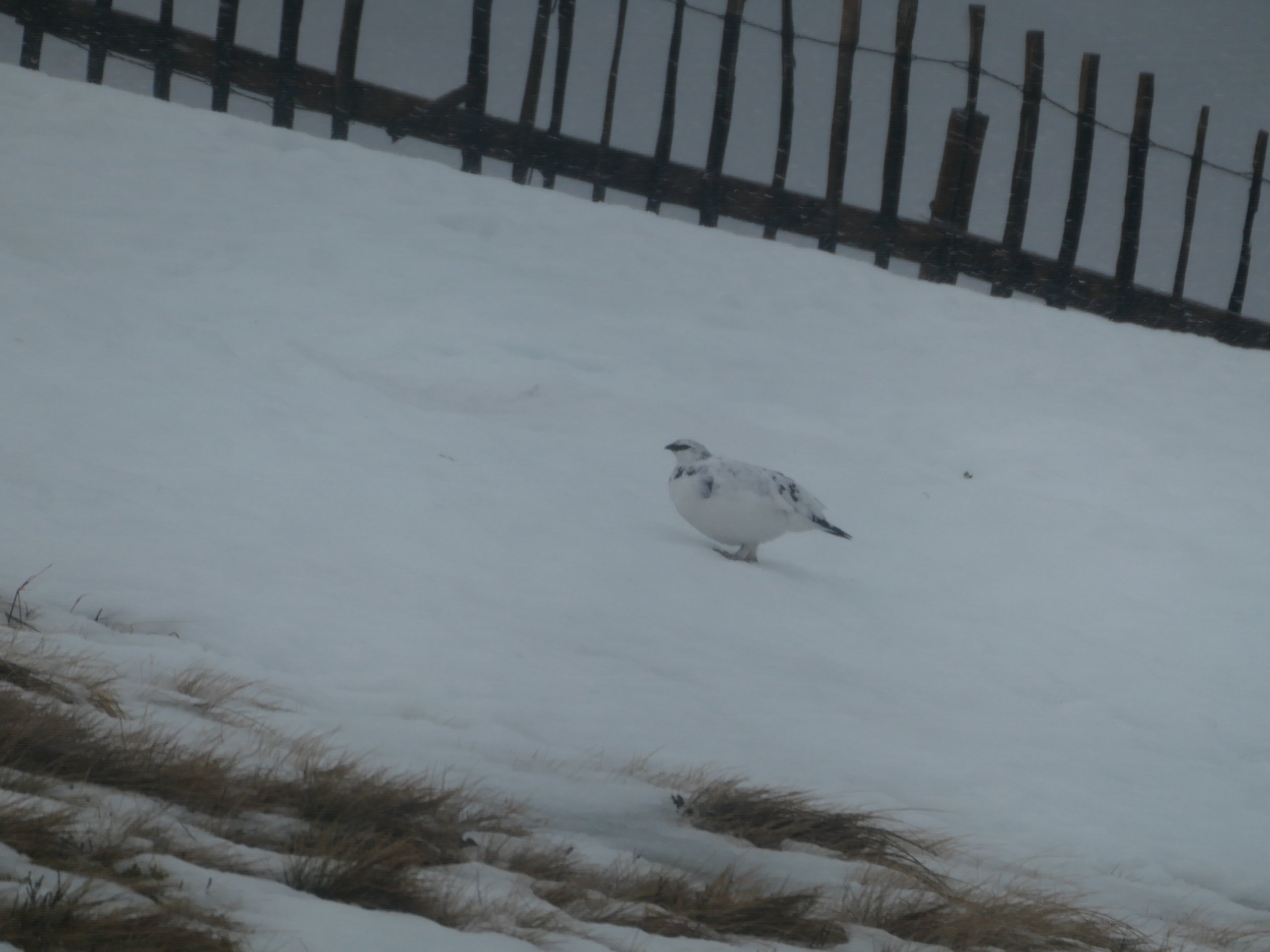
A ptarmigan enjoying a quiet Aonach Mor.
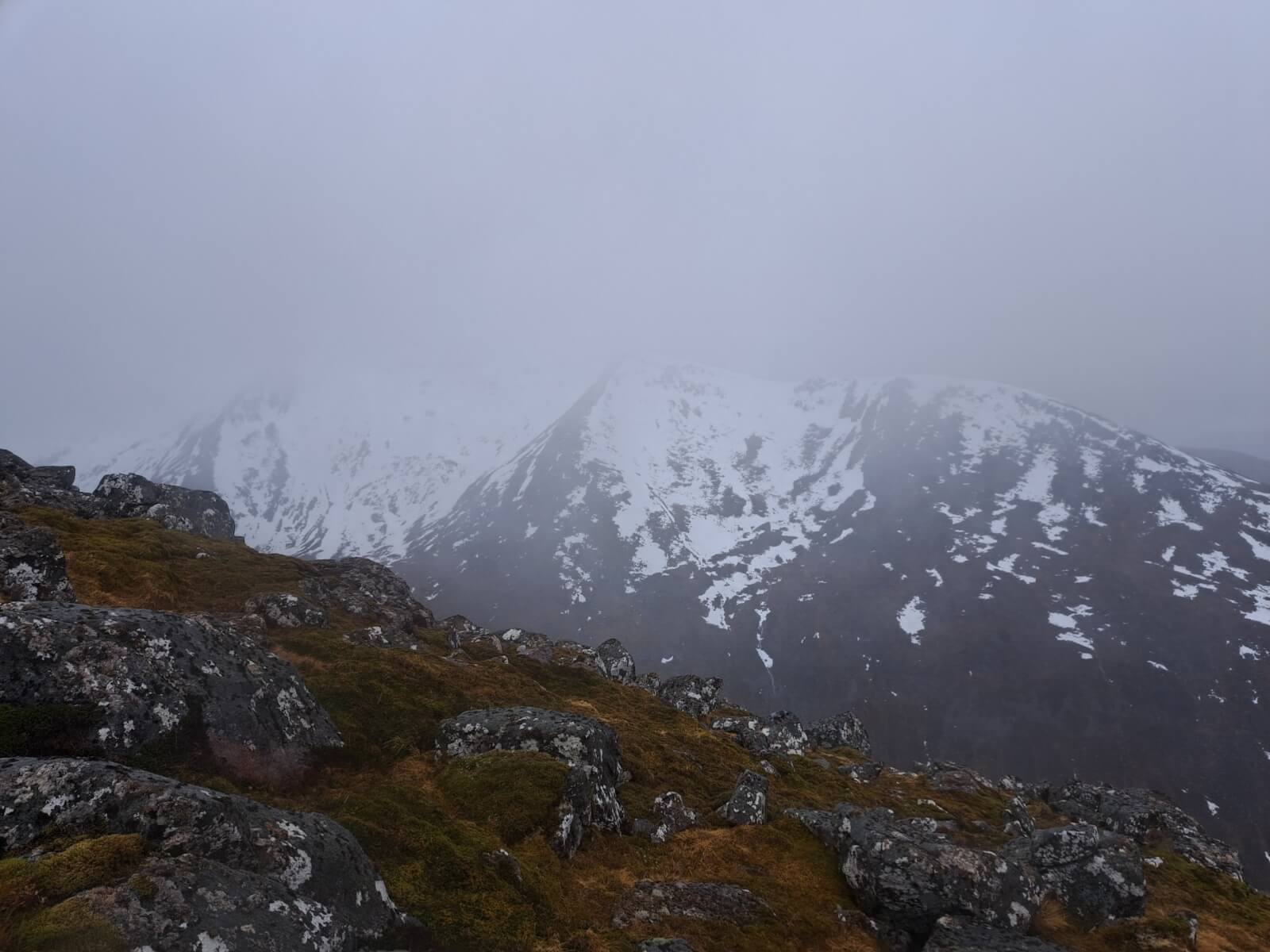
As good as the view got looking over towards Carn Beag Dearg.
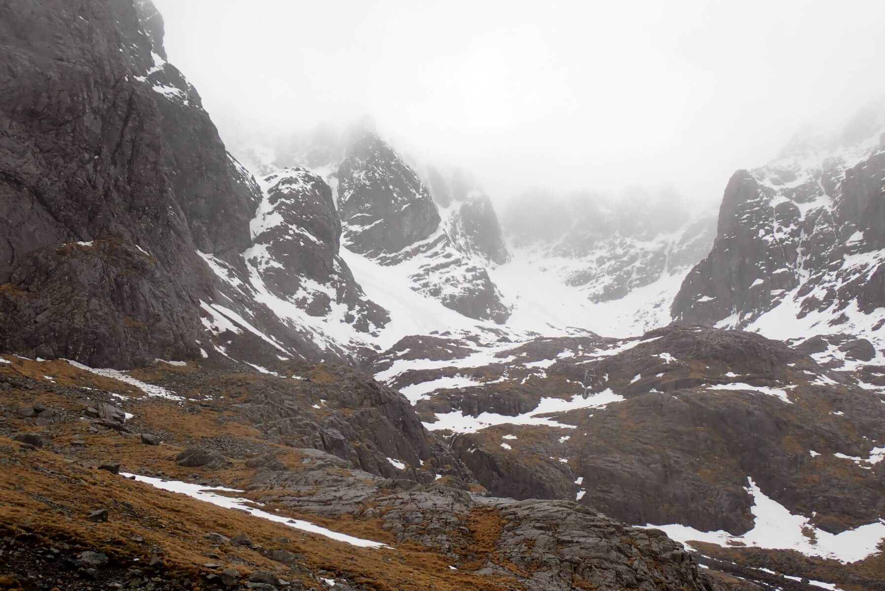
The view into Coire na Ciste on Ben Nevis.
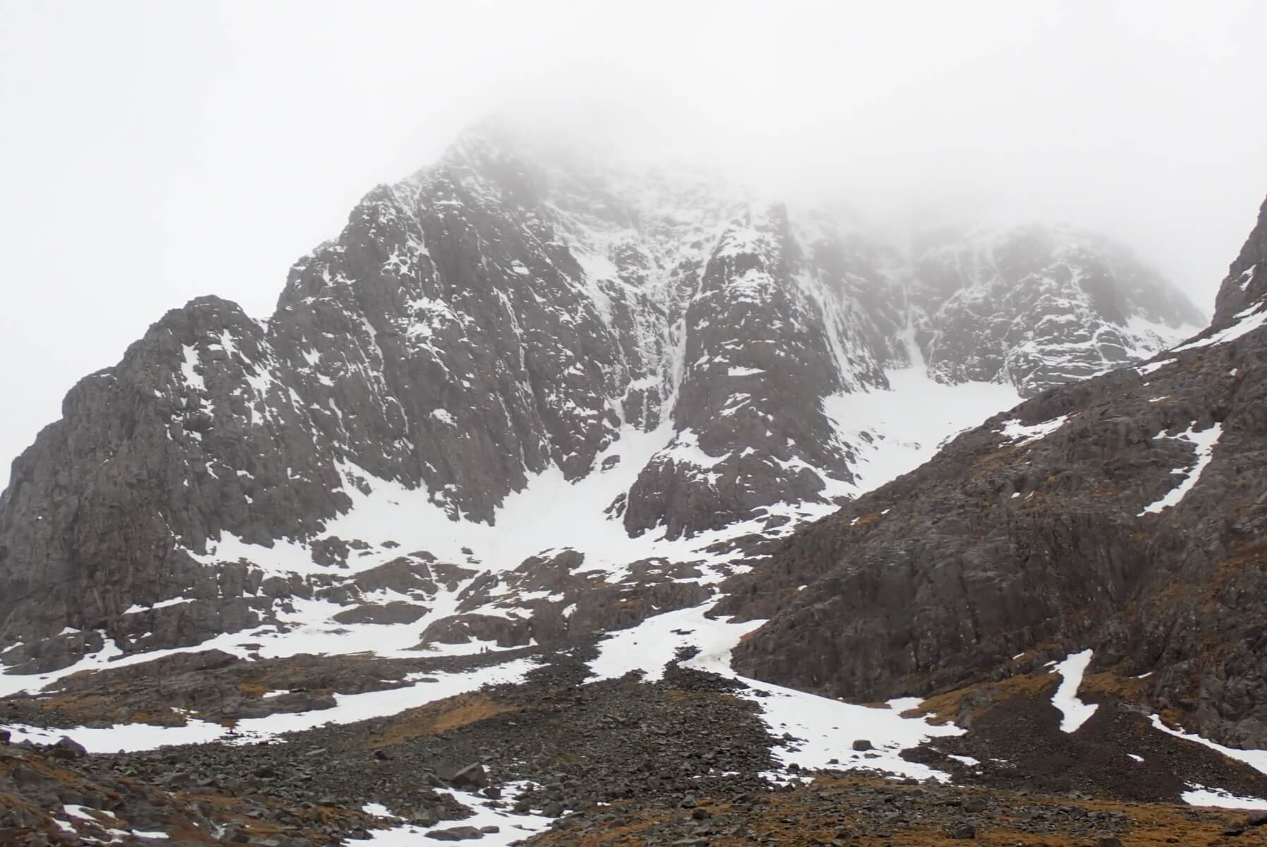
The Observatory Buttress area of Ben Nevis. Some ice remaining, but reports suggest it is very soft and mushy, which is not really surprising given the weather.
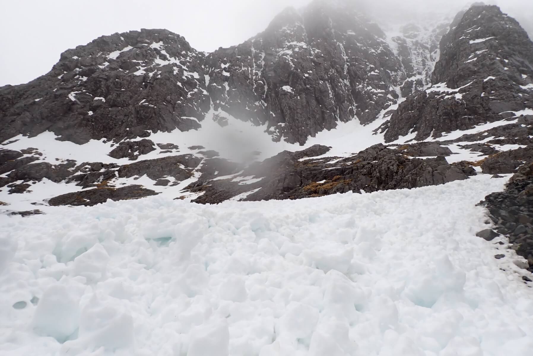
Avalanche debris at the bottom of Observatory Gully, probably from the star of the week.
Comments on this post
Got something to say? Leave a comment


420BooterCrunkWarrior69
27th February 2026 9:24 am
Hey I have a snow pack question:
When building big money booters and the snow would be “rotten” or too slushy to hold structure for some reason throwing road salt on the jump would cause it to ice up. Why is that?
Initially thought that the salt melts it then dilutes down then that would re freeze it solid. Thinking the free water running through the grains caused them to change shape and allow for better packing.
But then wasn’t sure if it was due to freezing point depression and the phase change forced through the transition from ice to water again pulling heat from the snowpack.
Even on cloudy days this would work where snow being the almost perfect black body radiator would of been receiving a decent amount of long wave radiation to supplement the energy intake presumably.
Im more confused on why it worked in warm weather, since when it was clear and cold that would in theory be more to the crystal structure changing from sharp facets to more rounded packable structures. Although even then isn’t radiation more of a factor for energy loss and absorption then air temps?
Any clarity on the subject would be greatly appreciated. I figured Id ask here sine this blog always has a little deeper dive in the science of the snowpack and weather discussions.
Respectfully,
420BooterCrunkWarrior69
lochaberadmin
2nd March 2026 3:55 pm
See Blog post on the 2nd of March for response to your question.