More snow
12th April 2026
Some heavy showers overnight and through the day have put down quite a bit more snow. Combined with strong winds and poor visibility at times it was still very wintery on Ben Nevis today.
It’s forecast to be a bit less windy and snowy tomorrow with the freezing level due to rise above the summits on Tuesday afternoon.
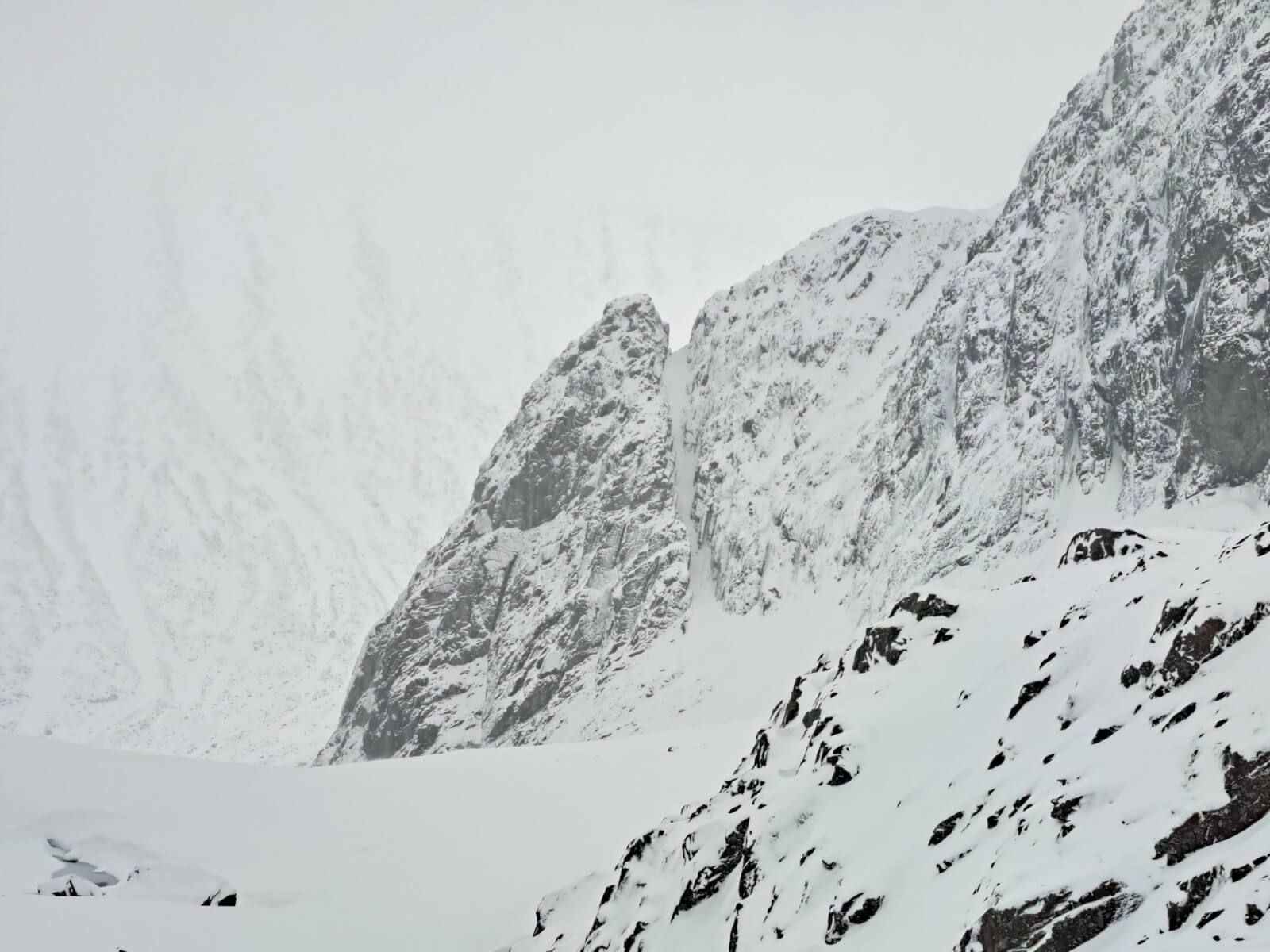
The Douglas Boulder. Climbers just visible below the South-West Ridge.
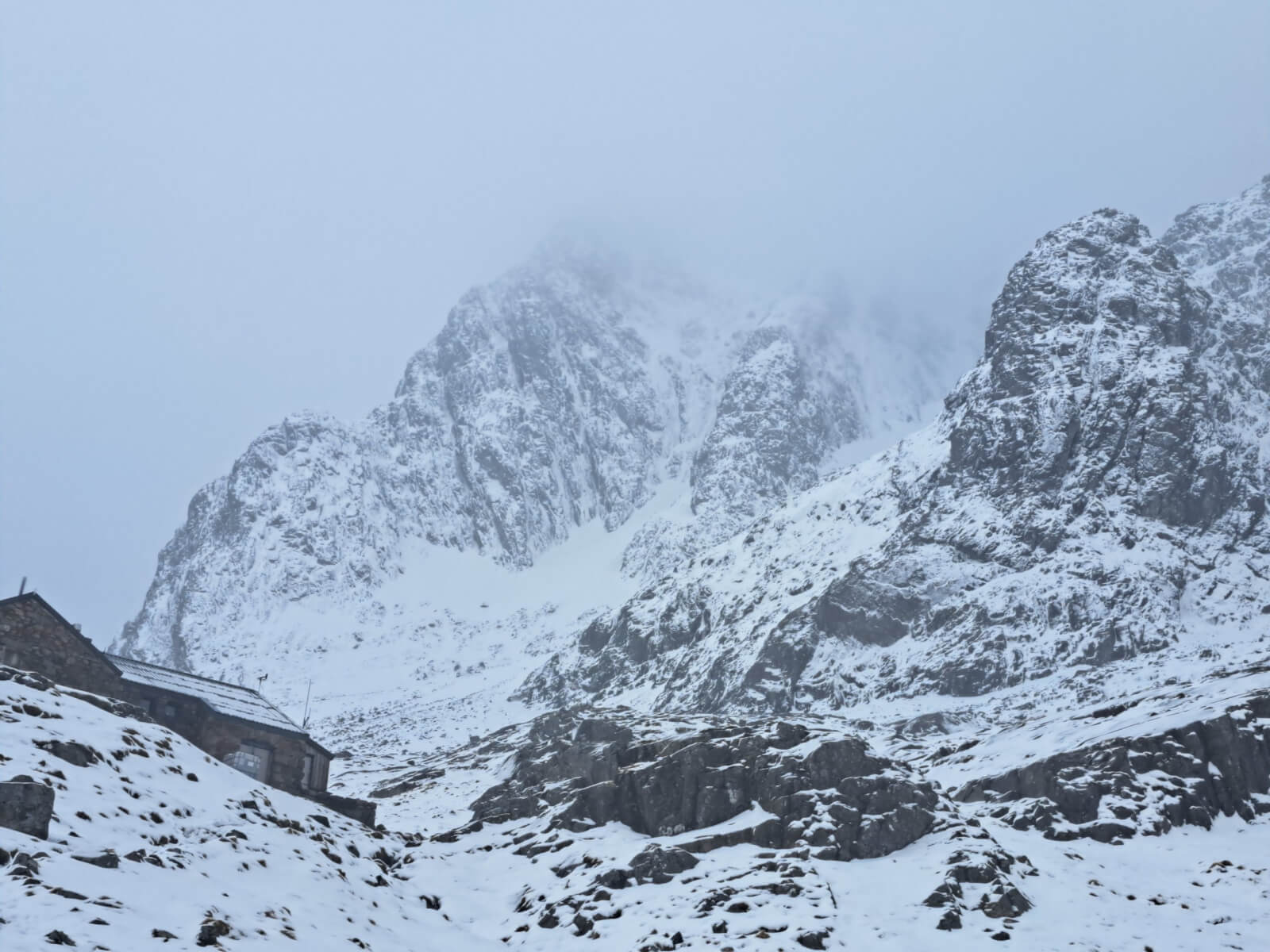
Looking up past the CIC hut. The 3 main ridges visible are North-East Buttress, Observatory Ridge and Tower Ridge.
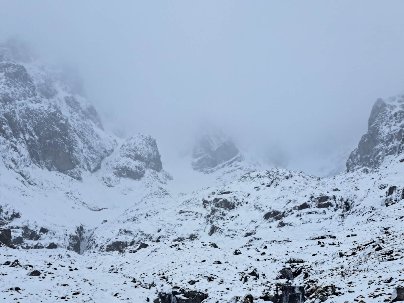
Coire na Ciste
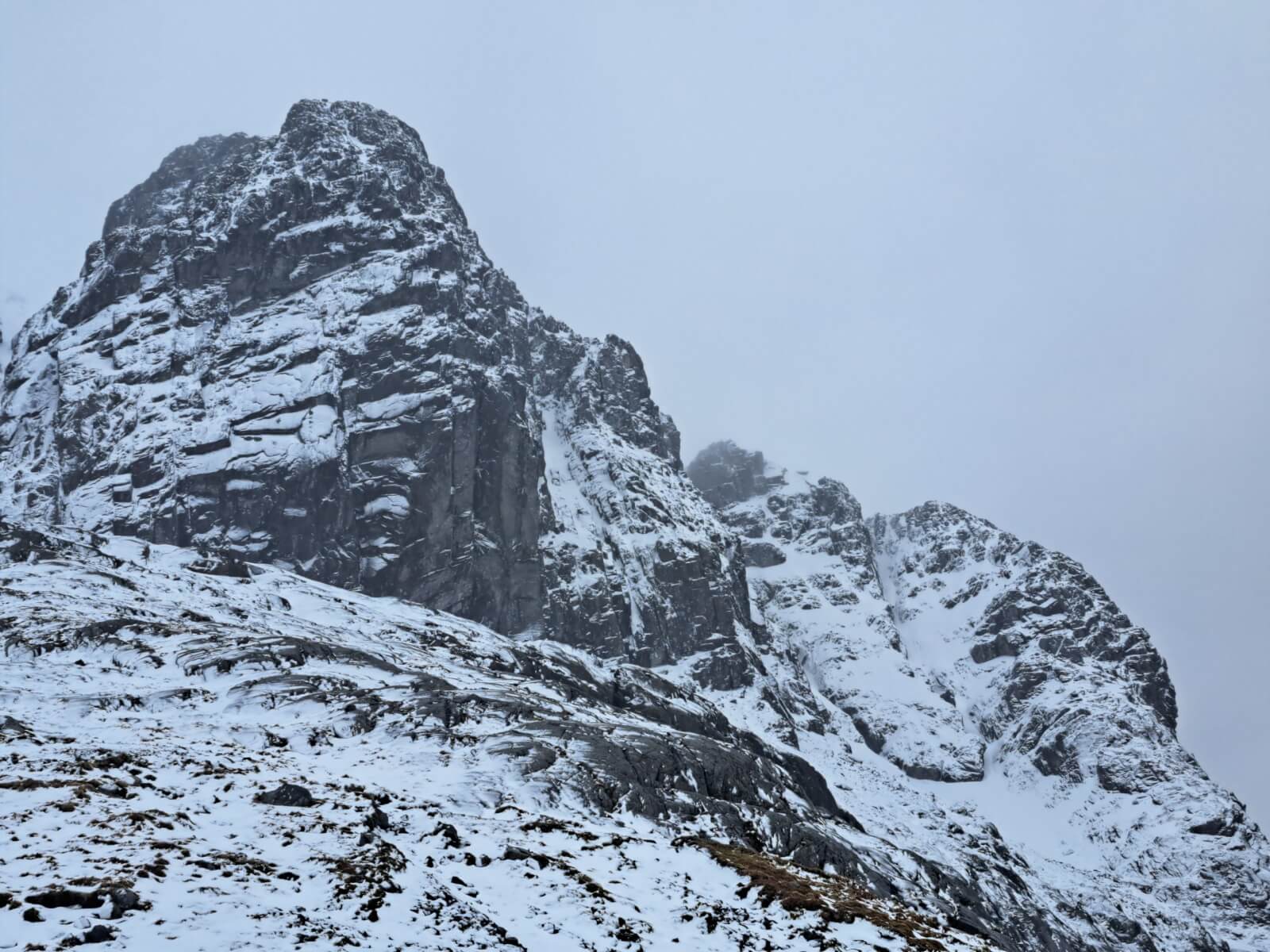
Carn Dearg and the Castle area.
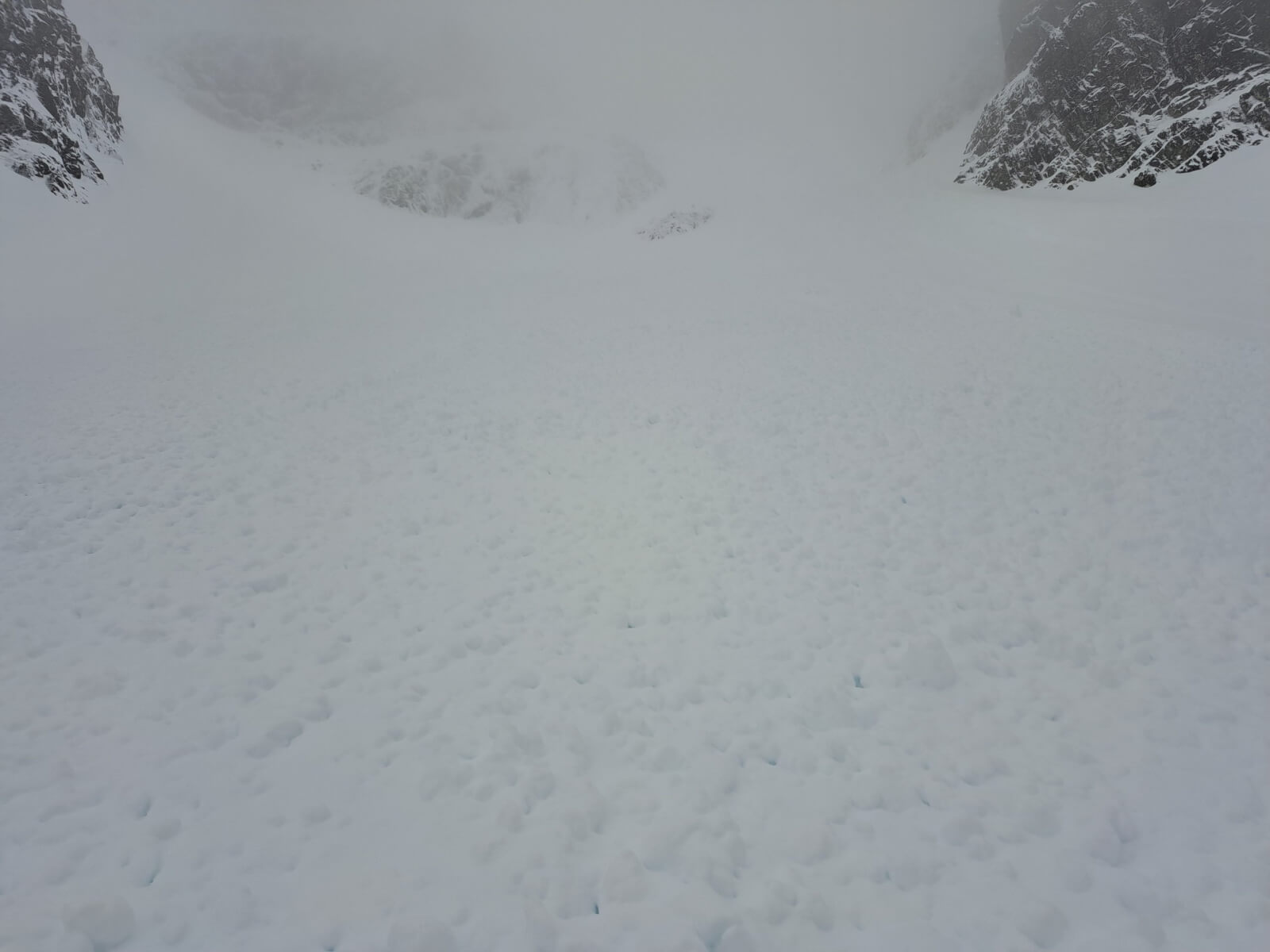
Avalanche debris below Number 2 Gully which I suspect came down early yesterday (Saturday).
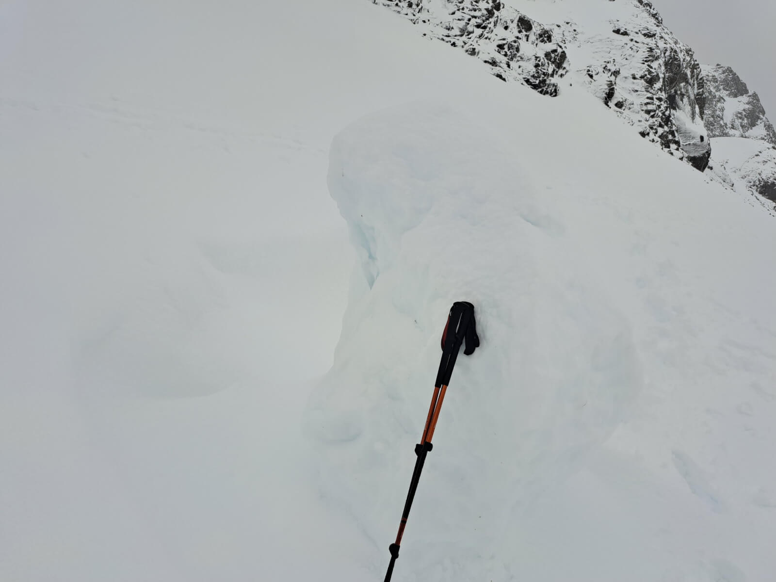
A fairly old but still large lump of cornice in Coire na Ciste.
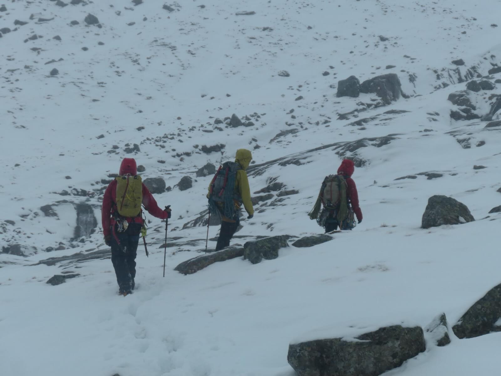
Thanks to these three climbers for doing the trail breaking into Coire na Ciste – much appreciated!
Comments on this post
Got something to say? Leave a comment


FW
12th April 2026 7:39 pm
Thanks for the continued reporting. Suspect avalanche in #2 area must have been fresher than you estimate. Was in that area until 11:00am yesterday (probably from snowfall or wind loading overnight into 12/4?) as was in that area and no sign of debris then. We performed an ECT just above where that photo was taken from and saw only slight instabilitiy there but turned around soon after. How long will reporting continue?
lochaberadmin
13th April 2026 7:36 am
Thanks for the update on the timing of the avalanche in Number 2 Gully.
It looks like it will warm up this week and stay mild for the foreseeable future so planning to make Wednesday the last forecasting day when a forecast for Thursday will be issued.
JM
14th April 2026 9:04 am
We saw a large avalanche happen that reached the gorge from No 2 about 11.30am on 12/04/26