Thawing on Ben Nevis
21st February 2024
Thaw conditions continued today, observations were from above the CIC hut on Ben Nevis. Heavy rain during the morning continued till just after I had left the hill. A brighter and colder afternoon followed with a few snow showers above 800 metres.
Snow cover was continuing to diminish with largest areas remaining on North to East aspects above 900 metres as seen in the photos. It will look very different tomorrow with showers, sometimes heavy, falling as snow down to 400 metres by the end of the day. These showers combined with strong South-West winds will cause windslab to develop through the day as detailed in the report.
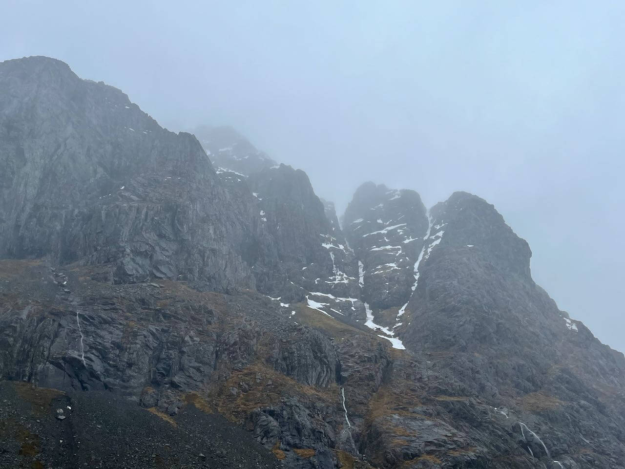
Castle Gullies, Ben Nevis
Number 5 Gully and Carn Dearg Buttress, Ben Nevis
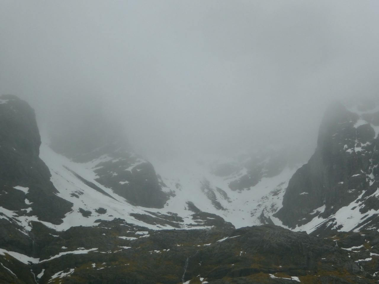
As much of Coire na Ciste as was visible this morning.
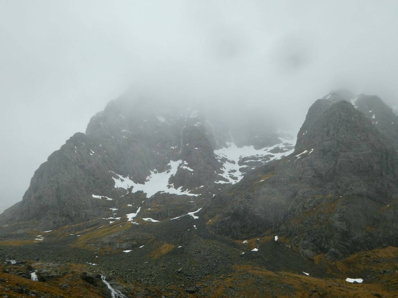
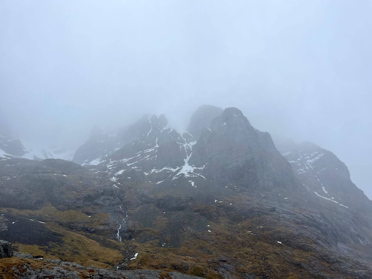
North-East buttress disappearing into the cloud on the left, the Douglas Boulder on the right.
Comments on this post
Got something to say? Leave a comment