Windy and wet
31st January 2024
Very strong winds even at lower elevations today. Early snow turned to rain in most places with the top of Ben Nevis being the only exception before turning back to snow down to around 650 metres in the afternoon.
Photos today from a variety of sources. The first 3 are from the CIC hut, Ben Nevis.

North-East Buttress and the Douglas Boulder this morning.
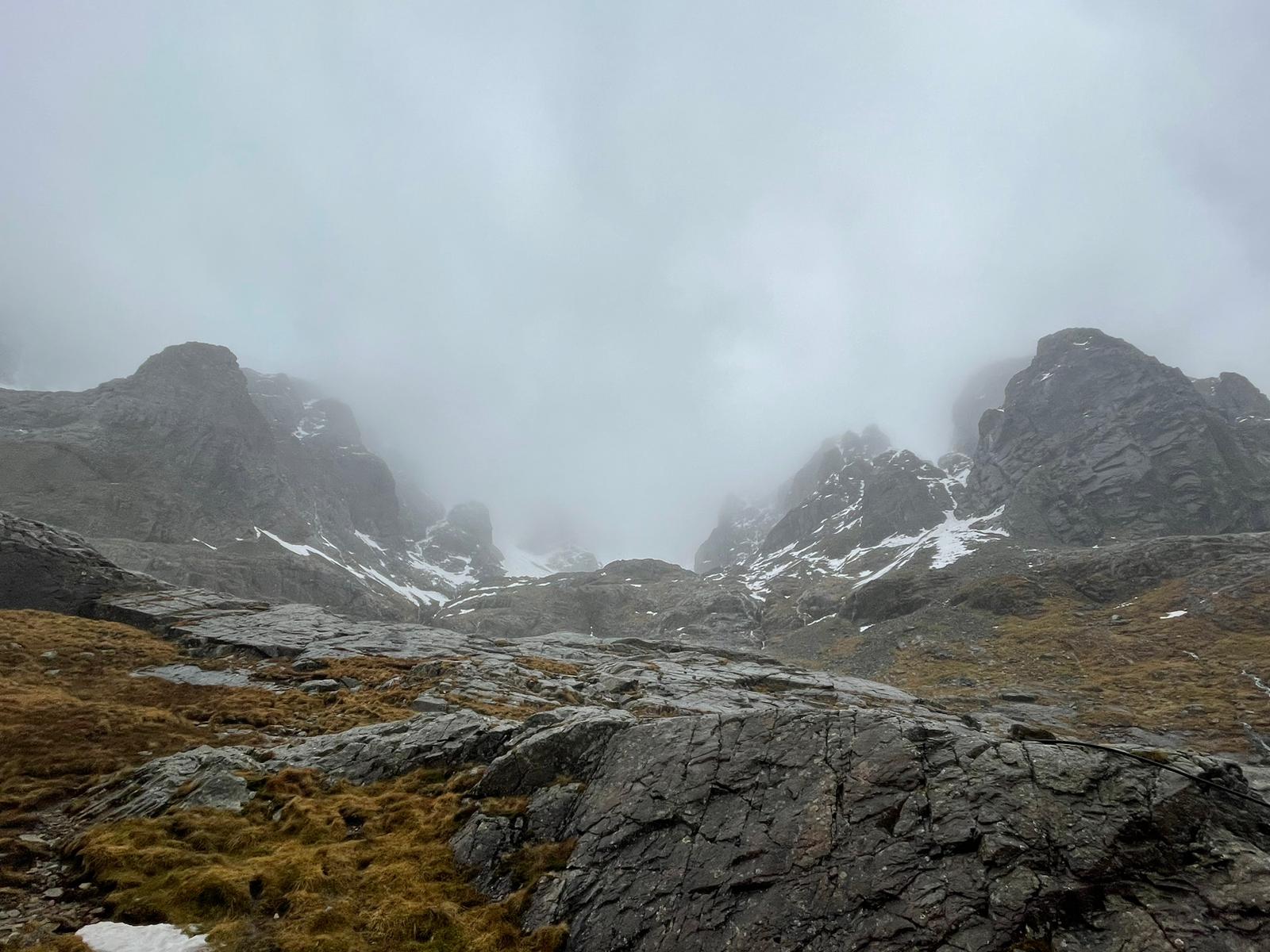
This morning looking into Coire na Ciste.

A wide angle view of the North Face after it cleared up a bit late this afternoon.
The next 3 are from the Nevis Range webcam looking up the Goose

Wet snow at 850 metres this morning…

…turned to rain in the middle of the day…

…and returned to wet snow which stuck to the camera lens this afternoon.
Three below are from Glen Nevis showing the result of todays rainfall and snowmelt.
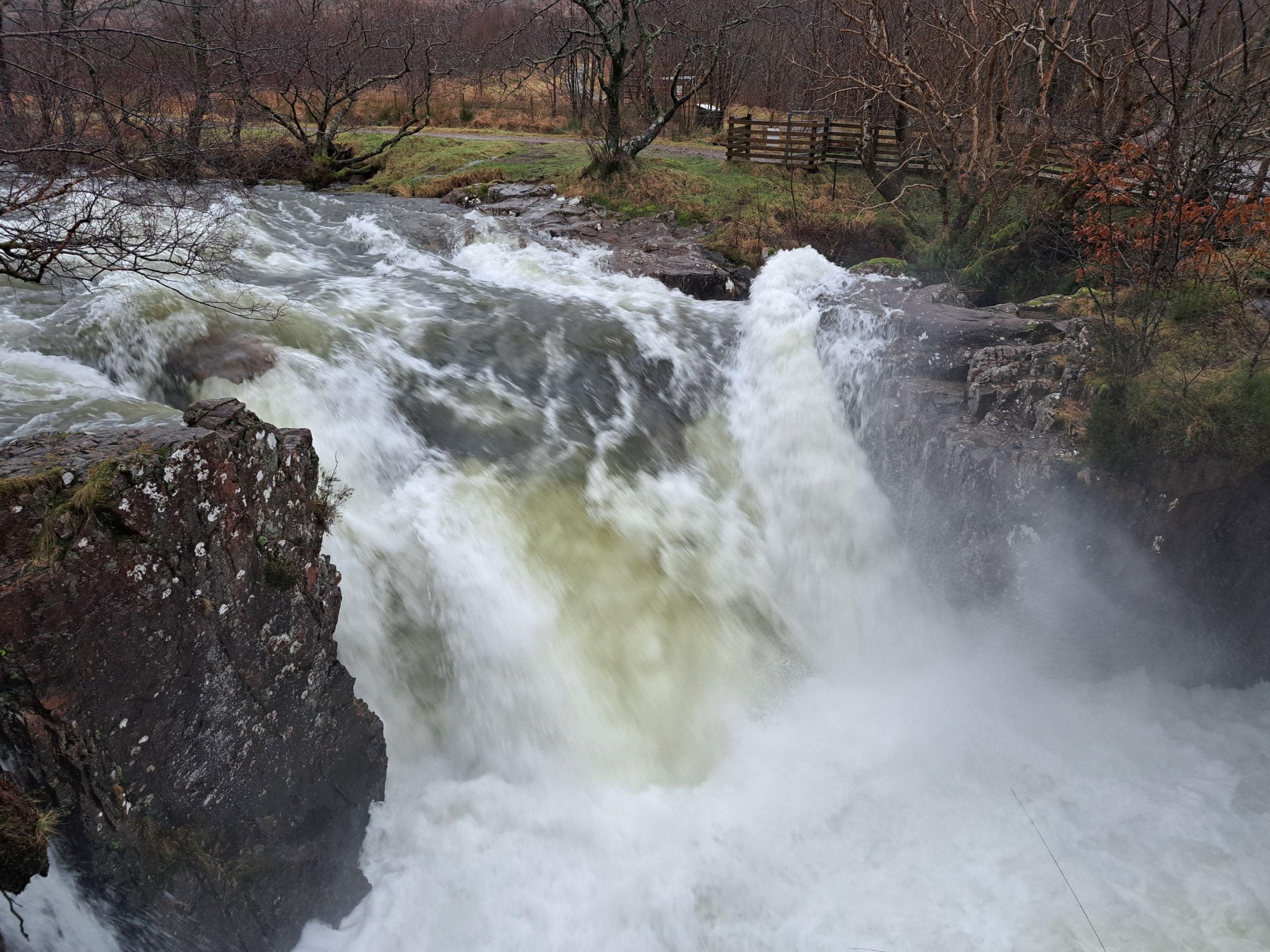
Rivers in spate.

Burns in spate.

Glen Nevis curling pond with a nice layer of water. Just needs a big freeze which unfortunately isn’t going to happen.
And finally some weather station data.

Weather data from 650 metres this morning with gusts of more than 80 mph. At 1130 metres there were gusts of 107 mph; not a good day to be high in the mountains.
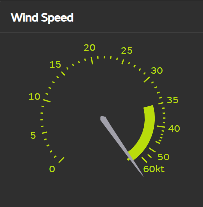
This ‘analogue’ display for wind speeds at 1130 metres on Aonach Mor was showing this maximum limit for much of the time today. 60 Knots is around 69 mph. From the digital data it was averaging around 75 mph and gusting over 100 this morning.
Comments on this post
Got something to say? Leave a comment