Wet and windy
23rd January 2024
Snow down to around 600 metres this morning turned to rain at all elevations in the afternoon as the freezing level rose to well above the summits before starting to drop again in the late afternoon. This caused a period of poor stability in the afternoon as the snowpack became saturated but this should improve tomorrow in lower temperatures. Showers will however start to deposit fresh unstable windslab at higher elevations.
Some pictures below from Ben Nevis.
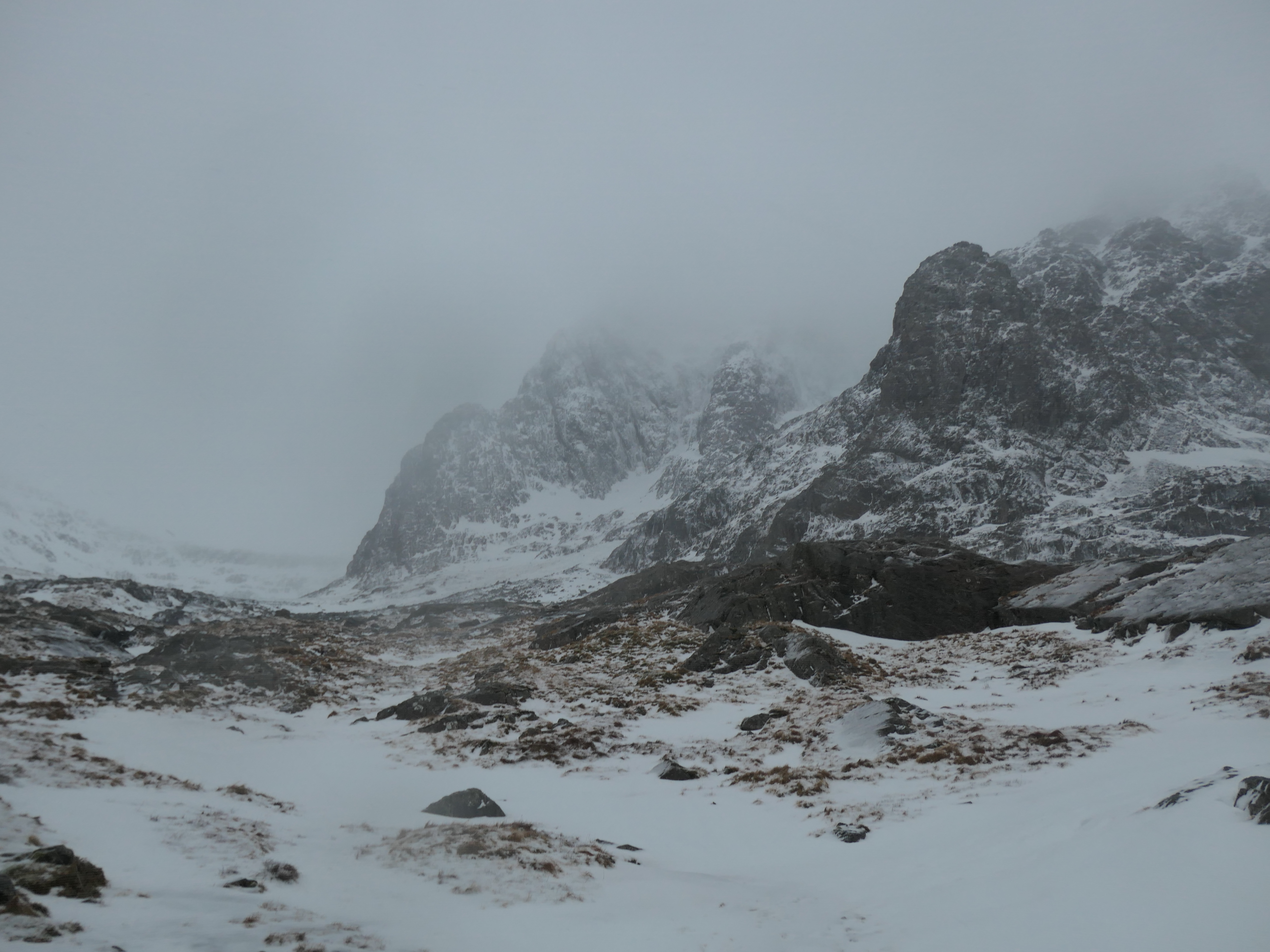
The bottom of North-East Buttress and Tower Ridge.
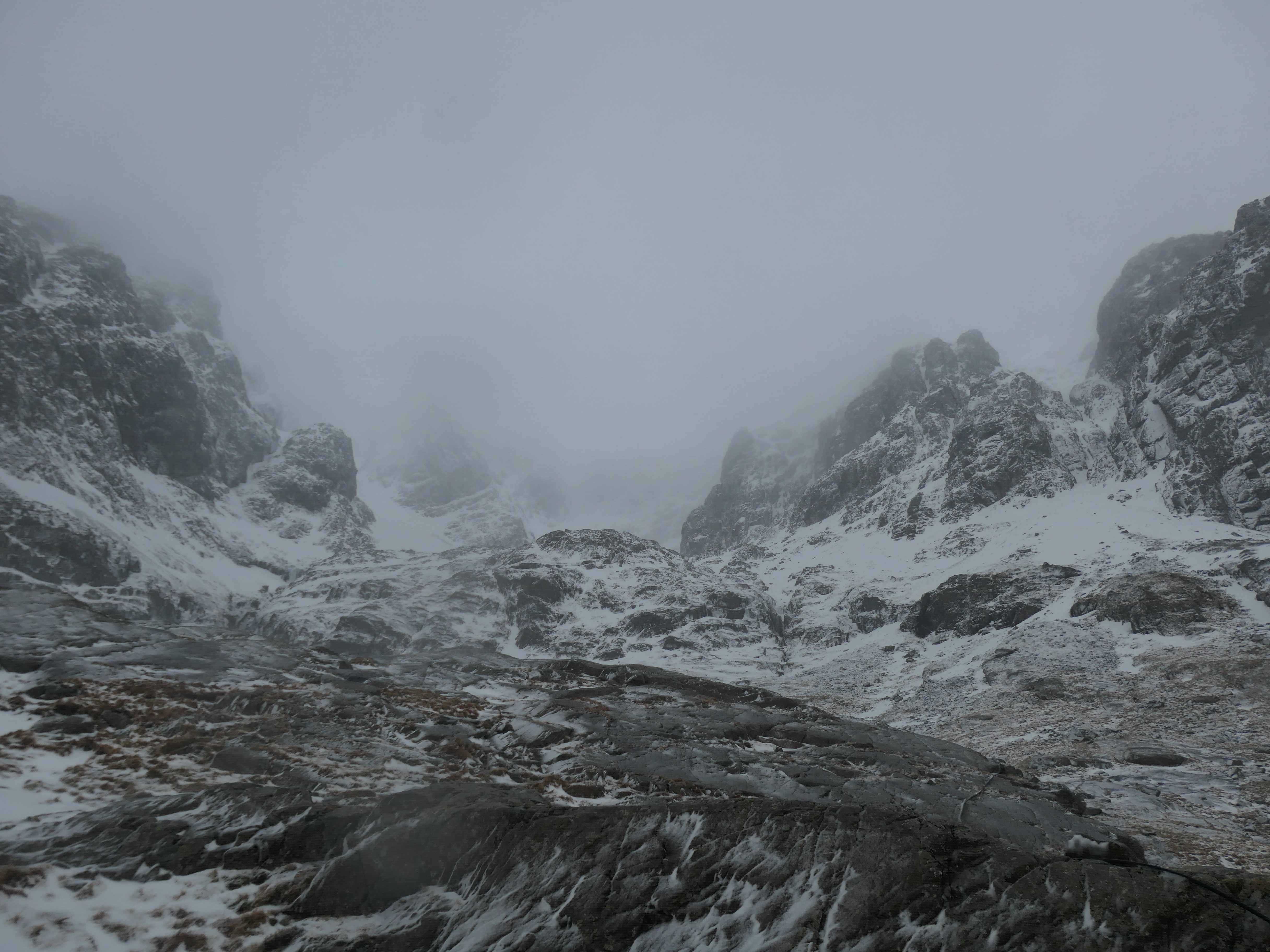
Coire na Ciste
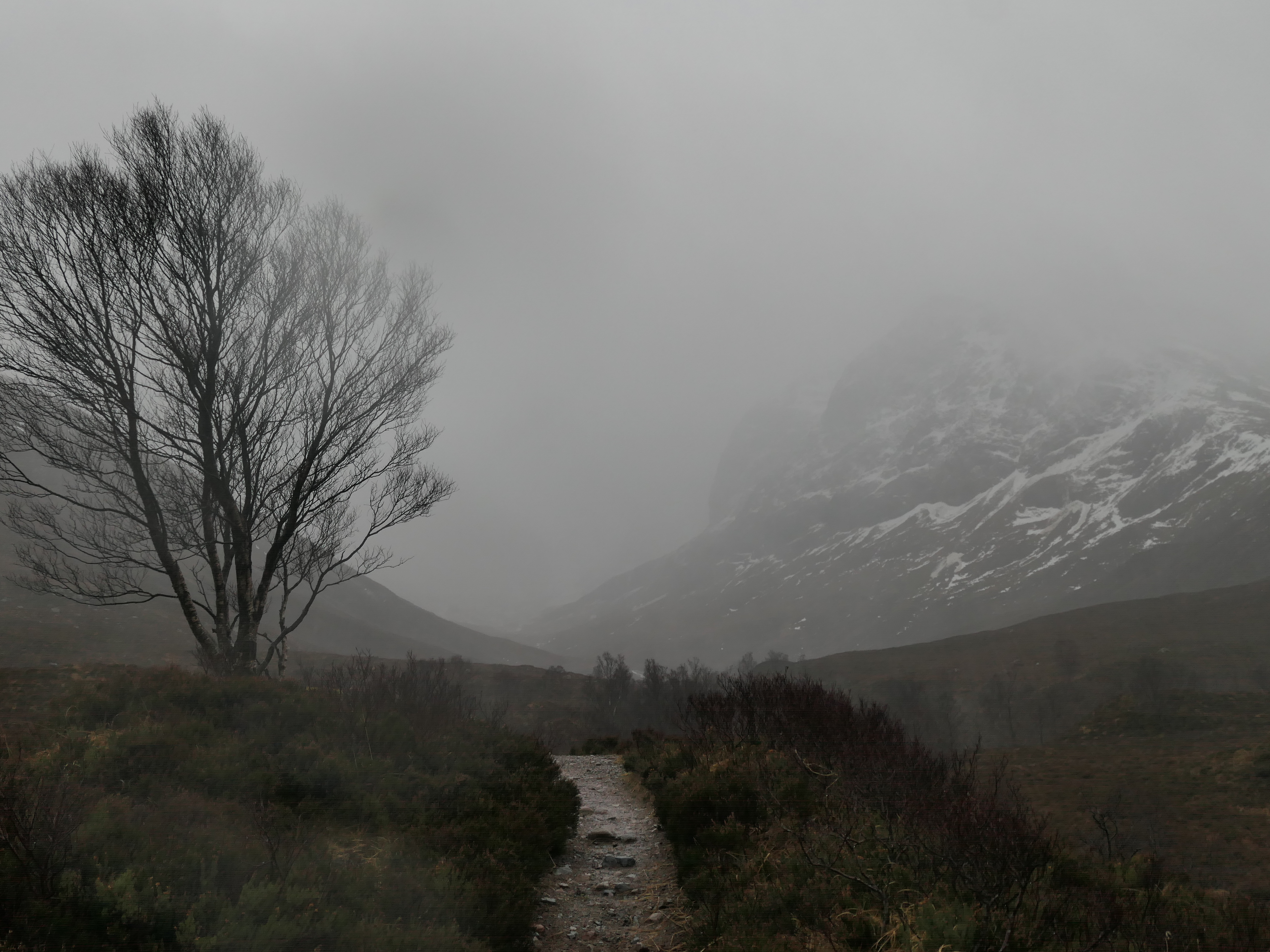
Looking up the Allt a’ Mhuilinn.
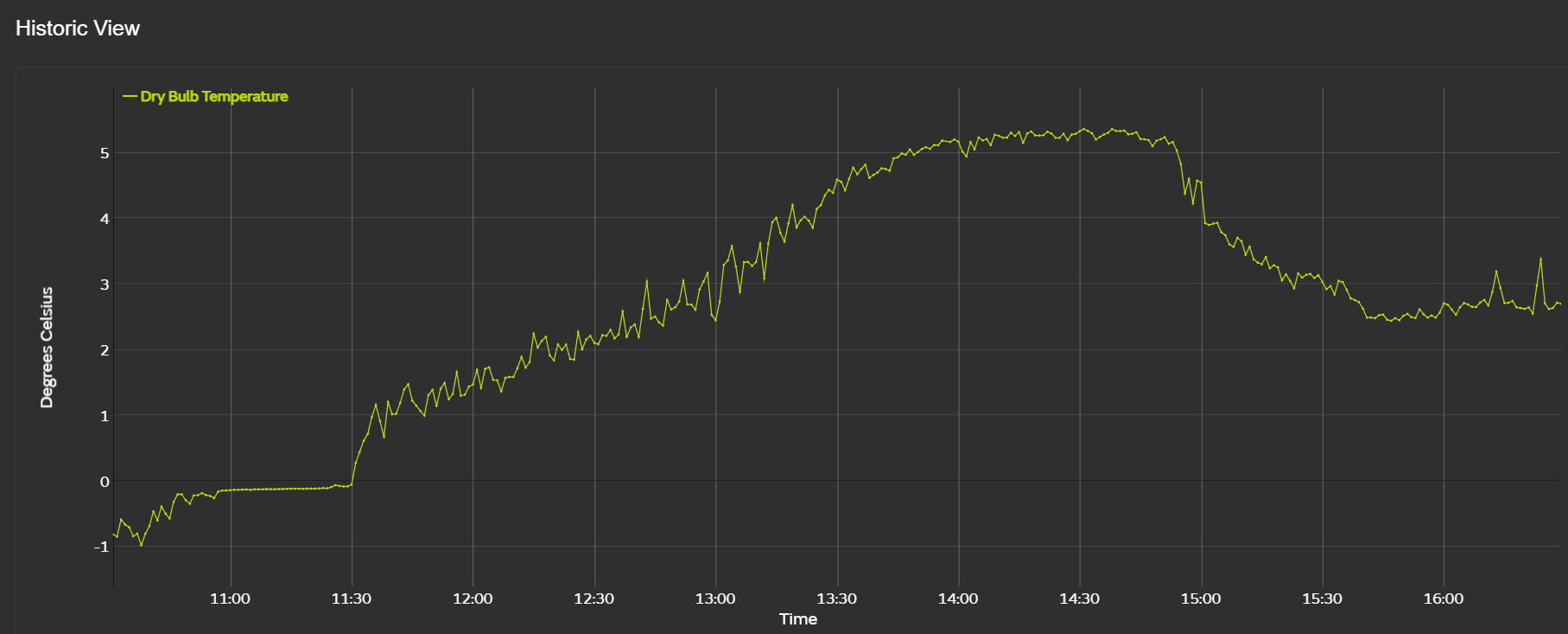
The temperature at 1130 metres on Aonach Mor rose quickly today to just over 5 degrees Celsius. Gale force winds and rain at this time.
Comments on this post
Got something to say? Leave a comment