High cloud – a sign of a change to come
11th March 2023
It was another dry, cold day with light to moderate winds. There was some high cloud which is a sign of a change in the weather with snow forecast tonight which will gradually turn to rain as the freezing level rises above the summits tomorrow (Sunday) afternoon.
The recent very cold and settled weather has resulted in the formation of surface hoar, depth hoar and other faceting in the soft layer of snow on the surface. This isn’t a big problem in itself but becomes a very weak layer when covered by more snow. Today some localised and shallow accumulations of hard windslab covered this weak layer in places. This was firm enough to bridge the weakness where it had gained some depth with cracking and ‘whoompfing’ experienced today where the slab was very shallow.
Fresh snow tonight and tomorrow will deposit further softer windslab on this weak layer. While new snow amounts aren’t expected to be great, bonding will be very poor in places and small avalanches will be likely particularly as the temperature rises and snow turns to rain.
Photos below from Aonach Mor.
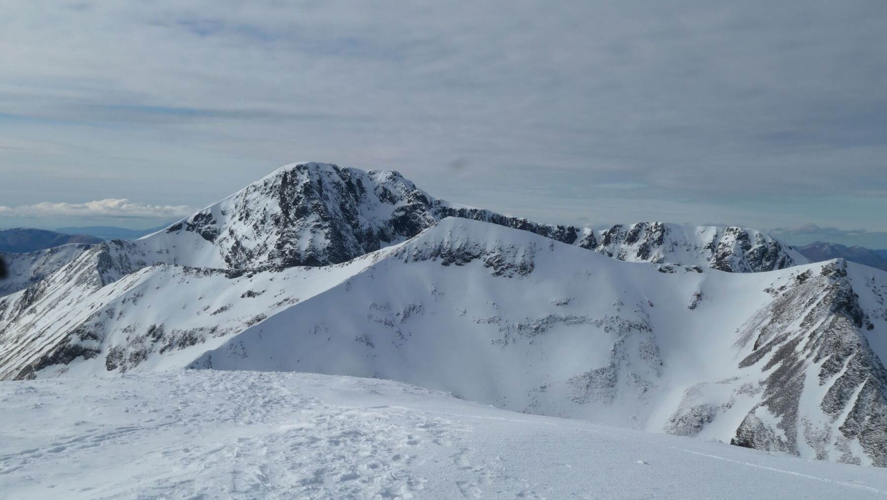
Carn Mor Dearg with Ben Nevis behind.

Aonach Beag
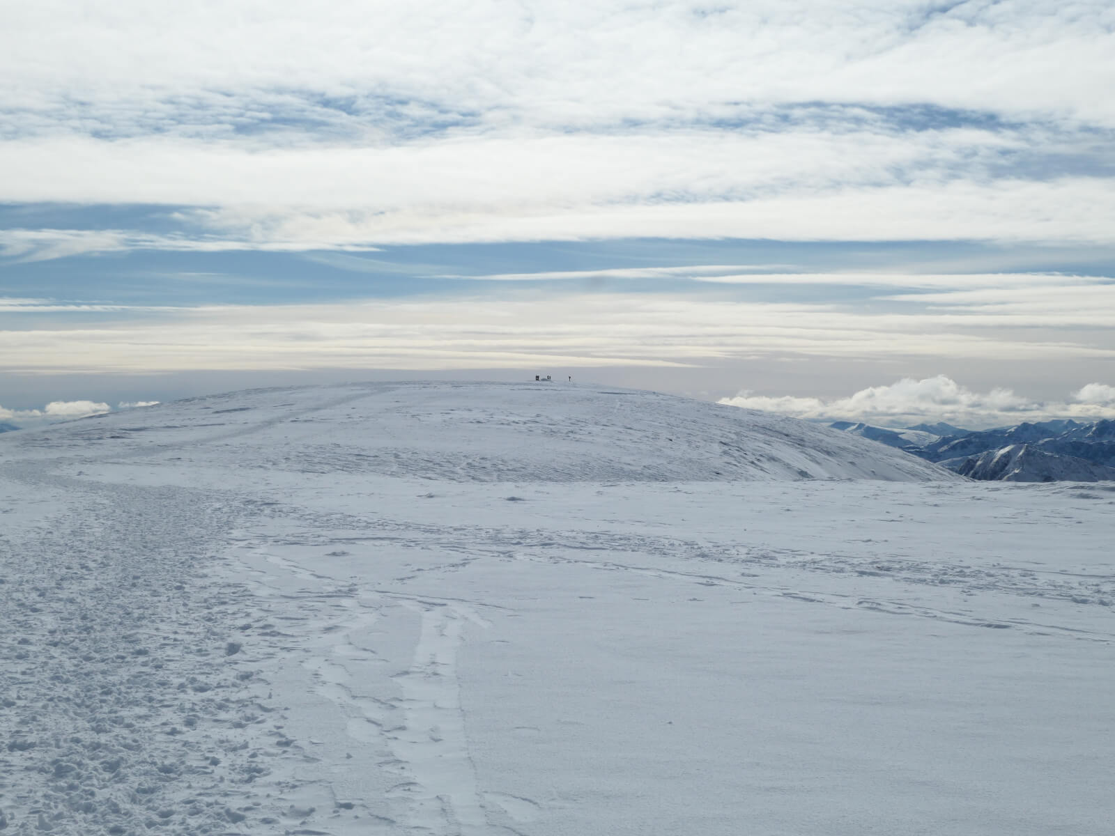
Lots of walkers and climbers and a few ski tourers have been on the Aonach Mor plateau recently.
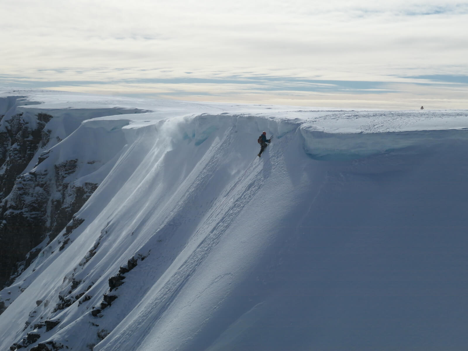
Cornices are small but still an obstacle.

Coire an Lochan looking South.
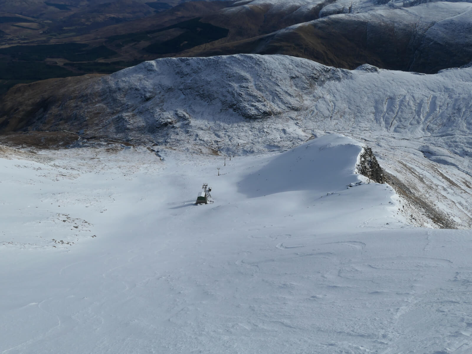
Looking down Coire Dubh.

The rim of Coire Dubh looking South.

Temperature graph for the last 5 days at 1200 metres. It has been very cold with a minimum of -11.5 and a maximum of -5.4 degrees Celsius.

Mountain hare burrow. Hares usually live on the surface in shallow forms. I suspect that the prolonged recent very cold temperatures are the reason for this burrow in the snow.
Comments on this post
Got something to say? Leave a comment


