Overnight snow
18th January 2023
Lochaber has missed the recent low level snow that some other parts of the country have had but there was some down to sea level last night. This snow is soft and unconsolidated below around 900 metres but above this, where there have been stronger winds it has formed areas of poorly bonded windslab. A failure here would result in a fairly small avalanche due to the generally shallow new layer of windslab.
Instabilities are also persisting in older windslab. While these layers are mostly moderately bonded, they are deeper in the snowpack and would result in a much bigger avalanche if they were to fail. It has been cold with variable winds over the last week. The cold weather has caused these deeper instabilities to persist and the variable winds mean that they can be found on many aspects.

Poor visibility above 850 metres this morning.

Looking down Easy Gully, Aonach Mor. A new fragile cornice had formed here last night.
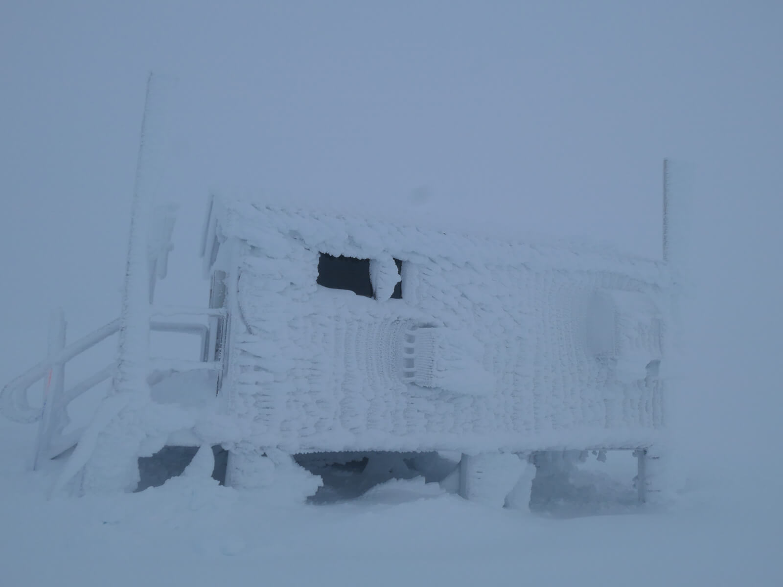
Lots of rime ice at 1200 metres.

Starting to clear as I descended.

Looking West from Aonach Mor. Some sun on the lower Lochaber hills but the higher ones were mostly cloud capped.

The summit finally cleared just after I got down. Image from webcam. Nevis Range are closed for skiing on Tuesdays and Wednesdays but the gondola is open and the tracks seen here are from a few ski tourers. Last nights fresh snow gave really nice skiing conditions.
Comments on this post
Got something to say? Leave a comment


