Cold, sunny and light winds
19th February 2022
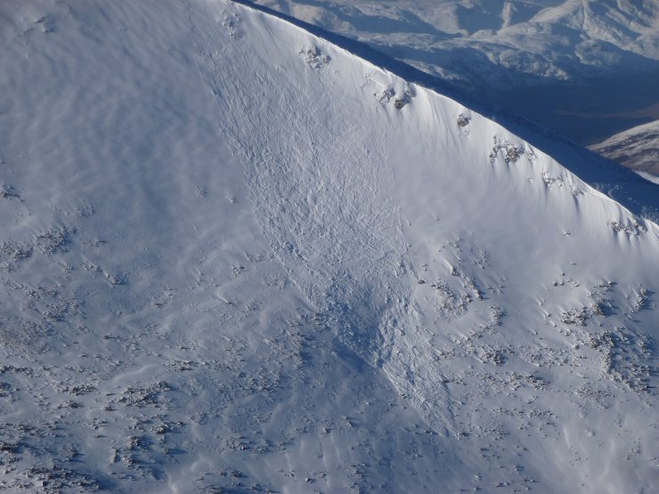
Great weather today for getting out in the mountains today. The good weather also makes it much easier for forecasters to assess the current avalanche hazard and to observe debris from recent avalanches. I saw debris from 4 recent avalanches today, 2 of which I think happened yesterday and 2 of which were early this morning. All were high on North-East or East aspects and were probably triggered by cornice collapse. Further details of these avalanches can be found on the SAIS website https://www.sais.gov.uk/avalanche_map/?area=3&type=48Hours
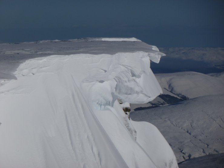
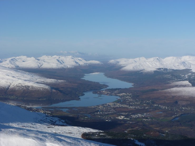
The good weather is also good for photos so I’ve put plenty below to show conditions.
We were asked in a comment on a blog earlier this year about the snow patch on Aonach Beag that often lasts all year. See the comments and photos at the end of this blog for further details.
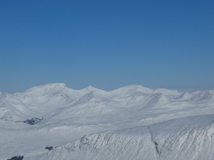
Thanks to the Glencoe forecaster for this image of Ben Nevis (left) Carn Mor Dearg (centre) and Aonach Beag (right) along the skyline.
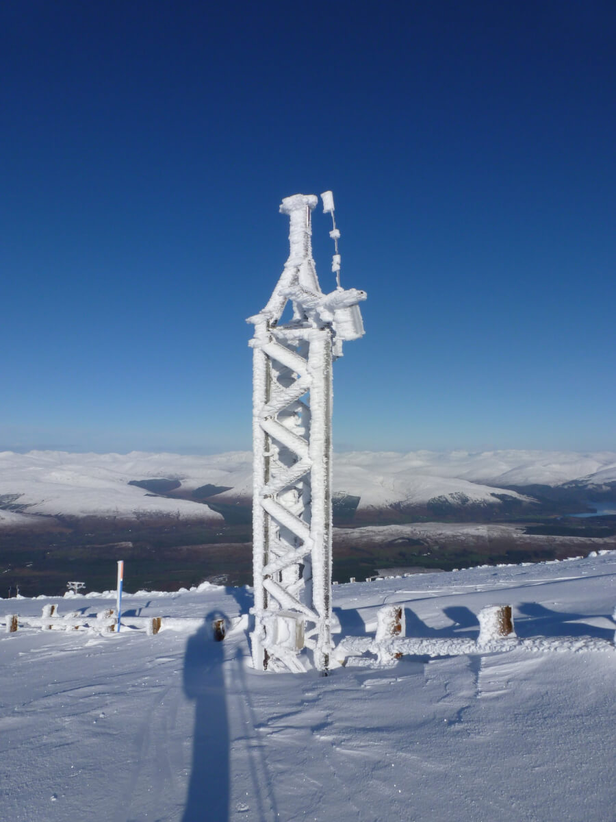
The Met Office weather tower. Although the wind directions have been very variable recently the rime on the mast was formed when the wind was from the West-South-West.
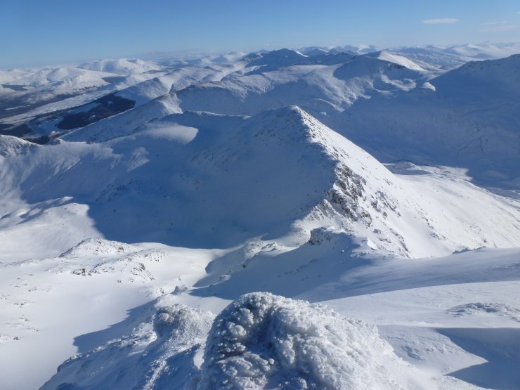
Looking down Summit Gully, Aonach Mor with Stob an Cul Choire in the centre of the picture with the Grey Corries (and many other mountains) beyond.
The snow patch in the photos below was the only one in Scotland to survive all the way through last summer. I didn’t manage to get to it today due to the avalanche hazard in An Cul Choire but I did get to take a picture and I’ll say a little about why it survives. This comes in 2 parts the first of which is why it gets a lot of snow and the second is why it’s slow to melt.
Most snow in Scotland falls with significant winds and the snow tends to accumulate fastest in the areas sheltered from these winds. This snow patch area is sheltered from winds from South-East through South to West and to a lesser extent gets some shelter from Aonach Mor from North-West winds. This covers the prevailing wind direction and the directions that most of the snow on the West of Scotland tends to come from so large amounts of snow accumulate. The slope above the snowpatch is steep – greater than 45 degrees and snow tends to slough off it very frequently ending on the snowpatch area rather than sticking to the steep slope above where it might then melt. Snow tends to melt at it’s surface so if say 10cm of snow melted from the big accumulation of snow at the bottom of the steep face a lot less would be lost than if that snow was spread across the face and 10cm was lost from a much bigger area. Lots of spindrift isn’t the best if you’re climbing but it’s good for the snowpatch below.
On the melting side of things the snowpatch is at the bottom of a big steep North face and gets little, if any sun. It’s also sheltered from a lot of the wind and rain, both of which will speed up melting. It’s other advantage is that it’s not at the bottom of a gully and therefore doesn’t have much water running under it so melting from below is reduced.
These are just my views and I’m sure that there’ll be other reasons that I haven’t thought about.
Comments on this post
Got something to say? Leave a comment





Mark Figiel
20th February 2022 10:00 am
Greatly appreciated your comments and feedback on the Aonach Beag snow patch. Very interesting.
Also great photos today , the mountains look amazing.
Mark Figiel.