A Return to Winter
4th February 2022
Gale Force Westerly winds brought frequent snow showers today and with a freezing level around 400m the snow is lying to low levels. Windward aspects are being stripped and significant windslab is building on the leeward side of the mountains. The areas affected are North through East to South-East aspects above 900m where a significant amount of fragile unstable windslab is developing and will continue to do so throughout Saturday.
High winds and blizzard conditions prevented too high a journey today, but the following photos will give you a flavour of conditions.
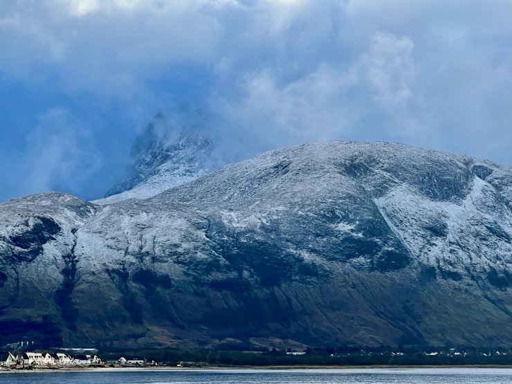
The wind blasted Western aspect of Ben Nevis between the snow showers.

Propagation crack lines appearing from my footstep. A sure sign of unstable windslab. This photo was taken on a NE aspect around 700m.

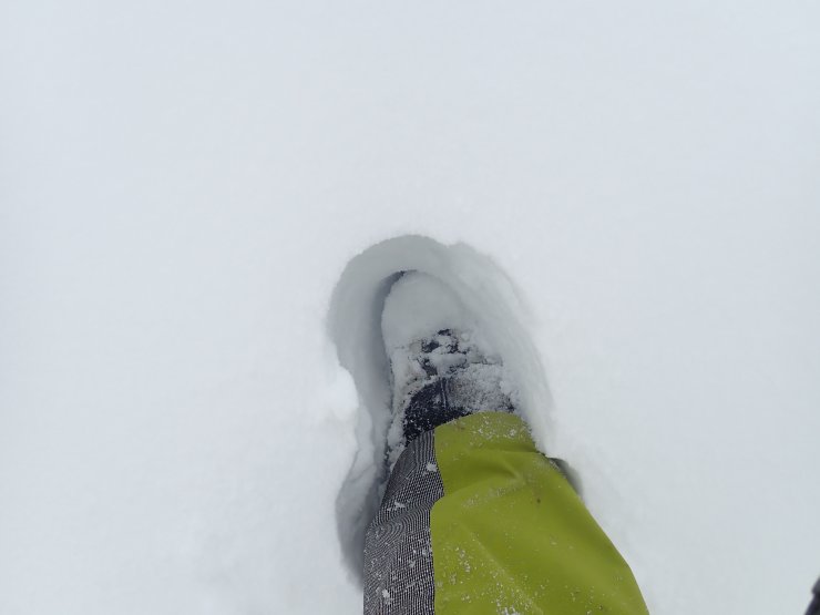
Deep accumulations of windslab made travel hard going today, especially as this was interspersed with ice!

North aspect with the Nid Ridge behind. Mainly wind scoured, but pockets of windslab in sheltered locations.

Looking up past the Gondola Top Station into the Goose Gully which is North facing and collecting windblown snow.Â
Comments on this post
Got something to say? Leave a comment


