Very Warm, Very Wet.
23rd February 2021
Covid -19
The Scottish Avalanche Information Service issues information to support permitted activity under current Scottish Government guidance.
Please be aware of current mandatory travel restrictions in Local Authority areas within Scotland and respect local communities by referring to Scottish Government guidance and safe route choices for exercise. For further guidance please refer to the following information for hillwalkers and climbers and snowsports on ski and board.
This blog is intended to provide hazard and mountain condition information to help plan safer mountain trips.
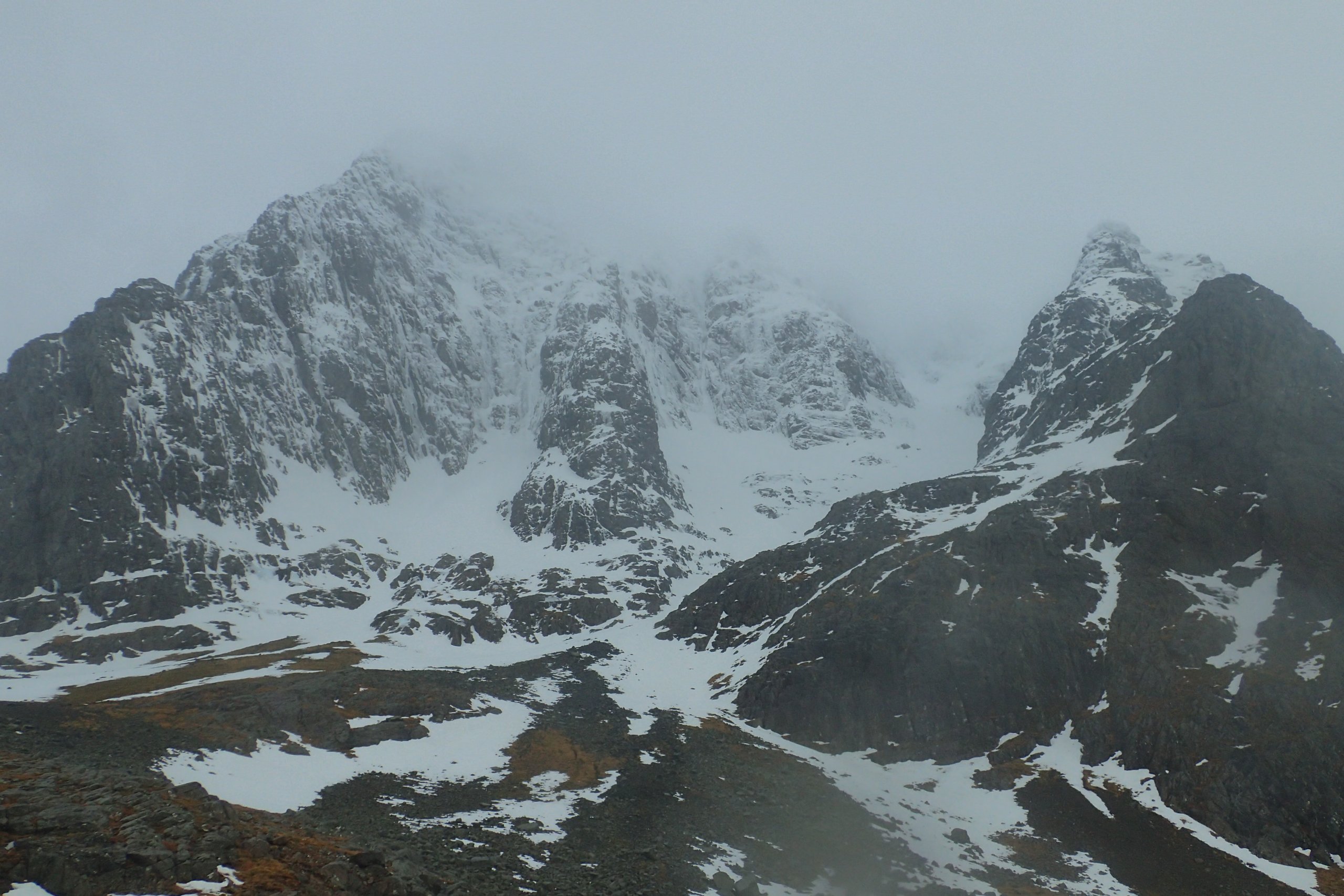
It was a wet day, even by Lochaber standards. It was also very mild, particularly during the afternoon. The temperature rose to above +6°C at 900 metres during the afternoon. The temperature at the met station at 1130 meters recorded a midday temperature of +3.3°C and a maximum temperature of +4.8°C a couple of hours later. This the the highest midday temperature recorded this winter (since we started forecasting back in early December), and likely the highest overall temperature of the winter at this level. It might well have been the wettest as well, but I don’t have good rainfall data so can’t confirm that.
Normally the effect of a period of very mild and wet weather like this would be a lot of avalanche activity. However, yesterday the snowpack was frozen and very stable. Although stability decreased during today’s thaw, the fact it was so very stable to begin with, meant that there were not the numerous avalanches that you would normally see in weather conditions like this. However, that is not to say it is all stable, there are still some large cornices which remain prone to collapse in the mild conditions.

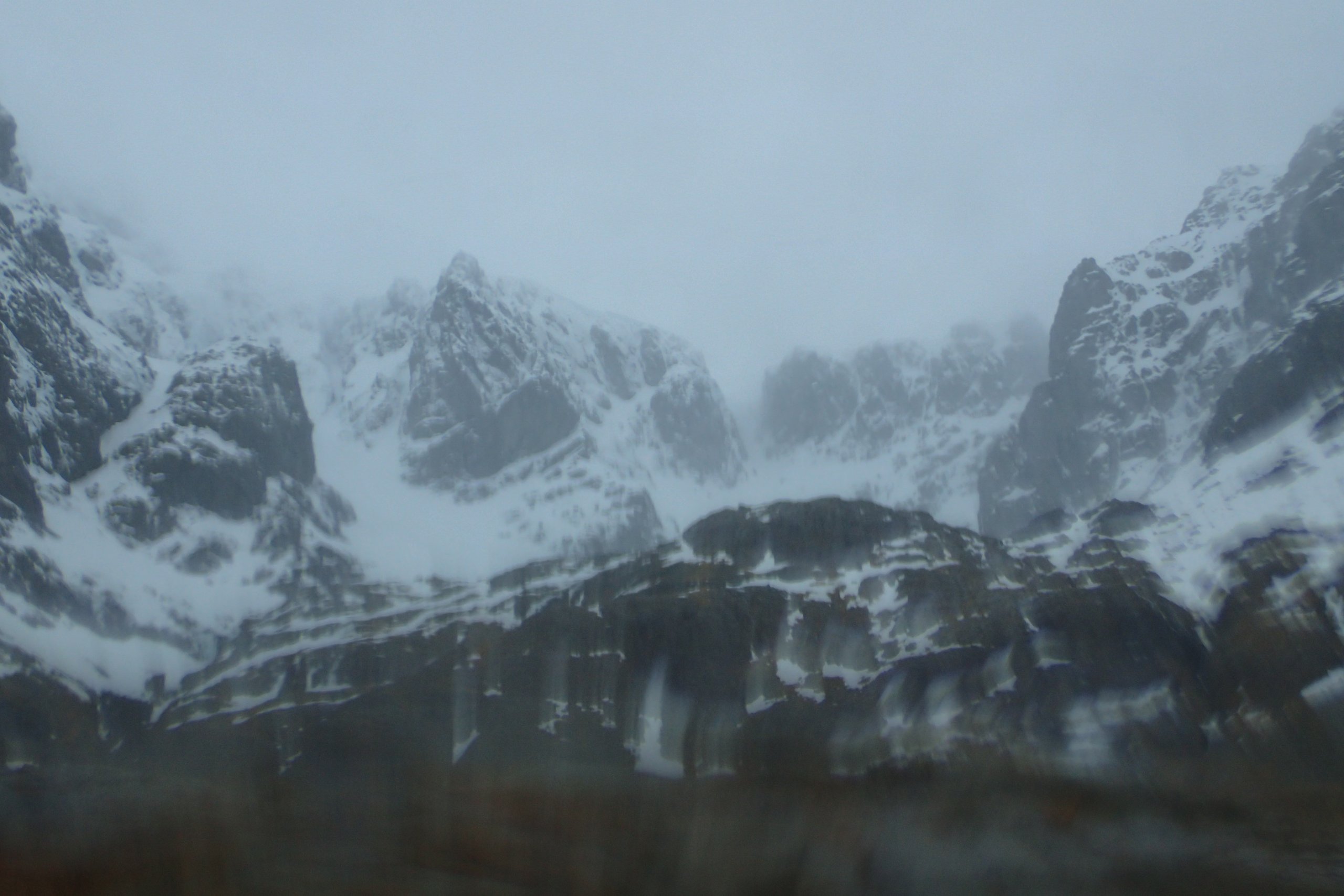
Coire na Ciste from the CIC hut. Had a bit of water on the lens at this point, but I think the effect captures the atmosphere of the day.Â
Comments on this post
Got something to say? Leave a comment


