Gale Force from the South-South-East
18th February 2026
It was a wild day with South-South-Easterly winds being significantly stronger than expected. As is often the case with winds from this direction, it was almost as windy mid mountain as it was on the summits. The Aonach Mor Met Tower at an altitude of about 1130 metres was recording gusts of between 70 mph and 80 mph. Although quite a lot short of the highest windspeeds of the winter so far, I think gusts of around 100 mph were recorded at some point, gust of 70-80mph make for pretty hard going. The Holfuy station on Tower 17 of the gondola line at an altitude of about 630 metres the windspeed was only fractionally lower with gusts of between 65 mph and 75 mph. In general it was pretty hard going due to the wind above about 500 metres.
The winds picked up at about midnight last night, and started transporting large quantities of snow. Some of this snow dissipated back into the atmosphere, some of it was deposited in sheltered locations on top of the soft powder that was about yesterday. At some point in the early hours at a substantial natural avalanche occurred in the Red Burn on Ben Nevis. The debris was observed and photographed at about 5am this morning by members of the Lochaber Mountain Rescue Team who had a number of call outs to deal with last night.
I managed to get to an altitude of about 900 metres on Carn Dearg Beag today. There was a constant stream of spindrift, but due to the rounded nature of the hillside there, not much of the blowing snow was sticking. However, there is a shallow gully at about 900 metres which was collecting the blowing snow. Firm slab was sitting on soft unconsolidated snow, an unstable combination. It was not surprising that there had been a natural avalanche on a similar aspect and altitude over on Ben Nevis. I suspect there may have been other natural avalanches, but whether anyone will spot and be able to record them before they disappear under fresh snow is another thing.
The forecast for tomorrow is similar but with the winds easing slightly. The general snowpack is unlikely to change much from today with large areas scoured and pockets or areas of unstable slab in sheltered hollows and gullies.
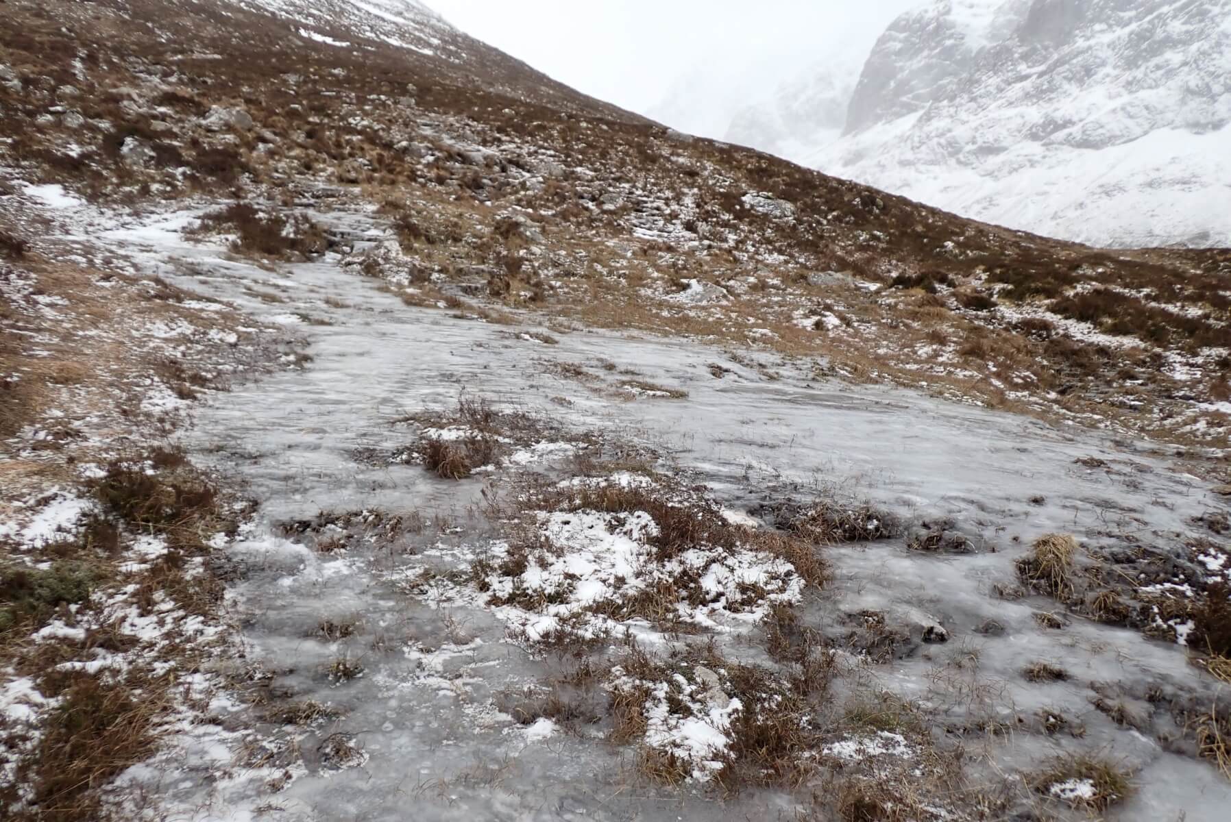
Still some large patches of water ice on paths and hillsides. Higher up where scoured by the strong winds the snowpack is firm and icy.
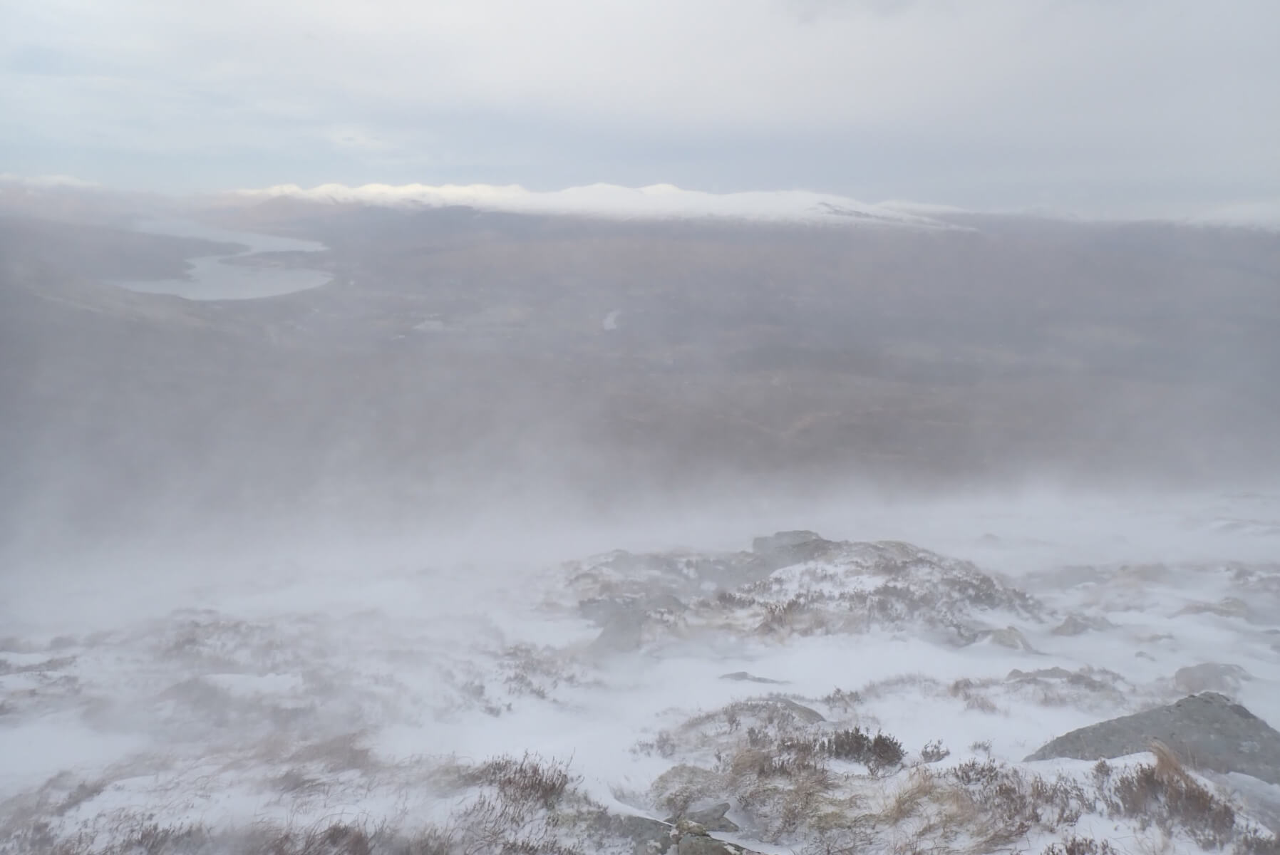
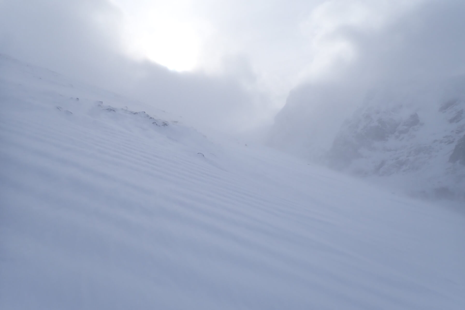
Looking out to the North-West. There was a constant flow of spindrift being blown down the hill from higher up.
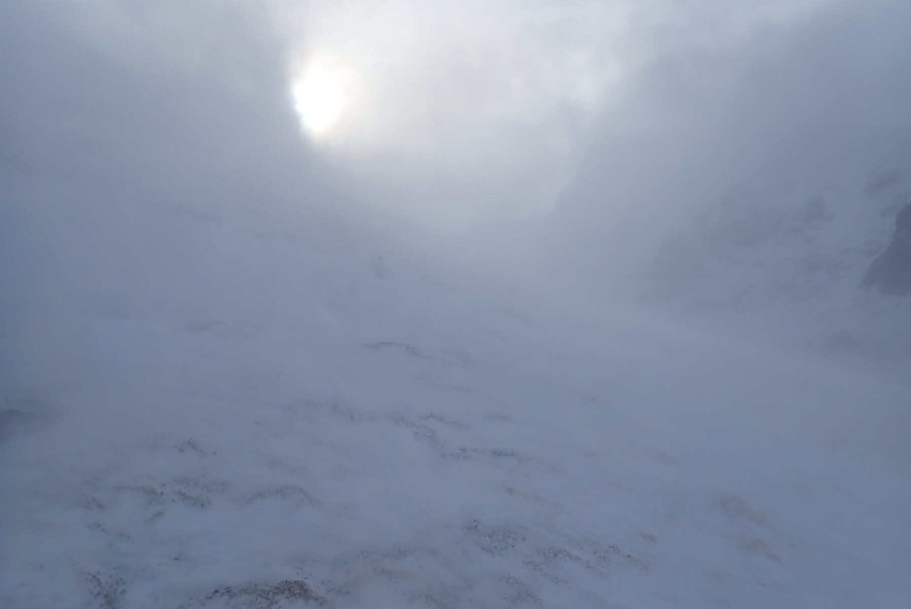
The view at 800 metres. Strong winds and blowing snow, but from from time to time the sun would appear through a break in the cloud.
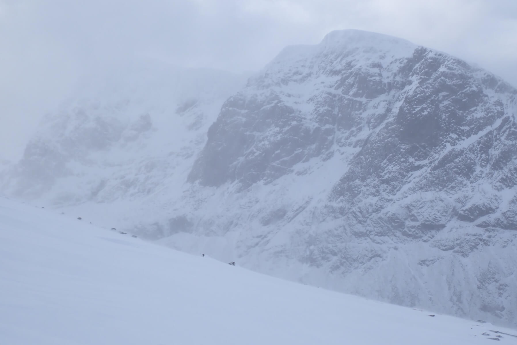
Looking over to Carn Dearg area of Ben Nevis during a slightly clearer spell.
My highpoint at about 900 metres. Although the strong winds meant most areas were scoured, in places such as this it was collecting the blowing snow. Firm slab was being deposited on a softer layer, giving a very unstable combination.
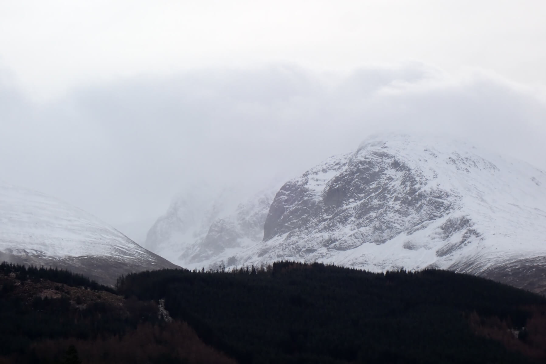
Looking up an Ben Nevis from the Glen early afternoon. Could on the tops, but looks more pleasant at it actually was.
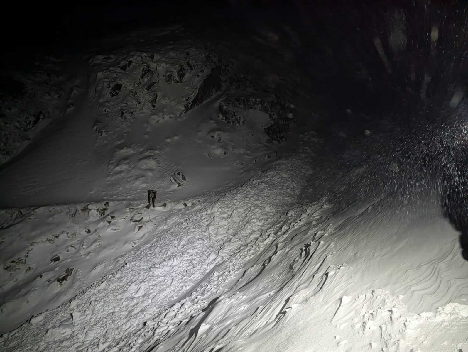
A couple of photos from the Red Burn avalanche in the early hours of this morning. Lochaber Mountain rescue team were involved in two call outs last night, and reported this debris where the Ben Nevis Pony track crosses the Red Burn. Due to the darkness and poor visibility quite how large the avalanche was proved difficult to assert.
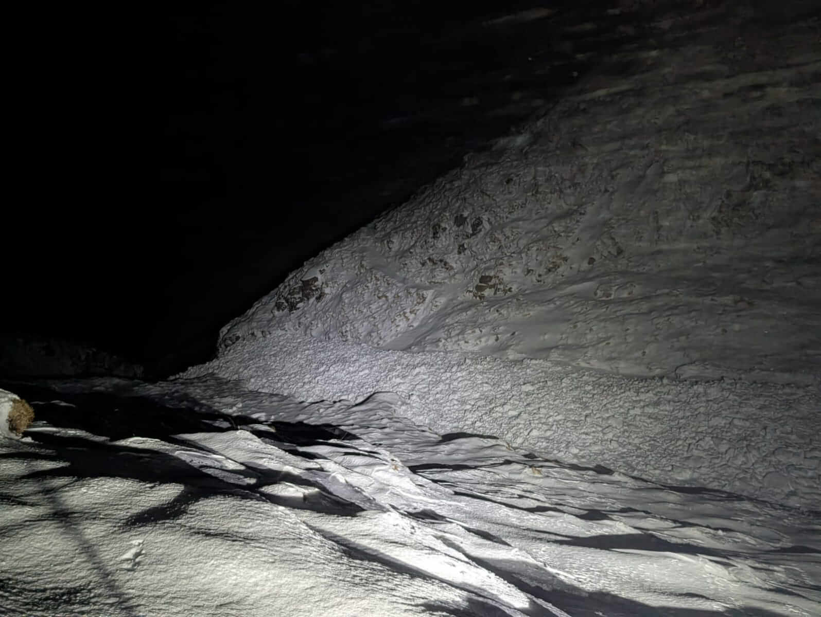
Looking down the Red Burn, more debris disappearing out of view.
Comments on this post
Got something to say? Leave a comment