Ben Nevis tourist route
20th January 2026
Most people who go up Ben Nevis follow a path known as the tourist track, or mountain track, or pony track. The first two names are fairly obvious. The third, the pony track comes from the days when there was a manned weather observatory on the summit of Ben Nevis and ponies were used to bring up supplies.
This was my choice of route today and where the pictures below are from. There was a strong and gusty South-Easterly wind with poor visibility and drifting snow above around 1000 metres.
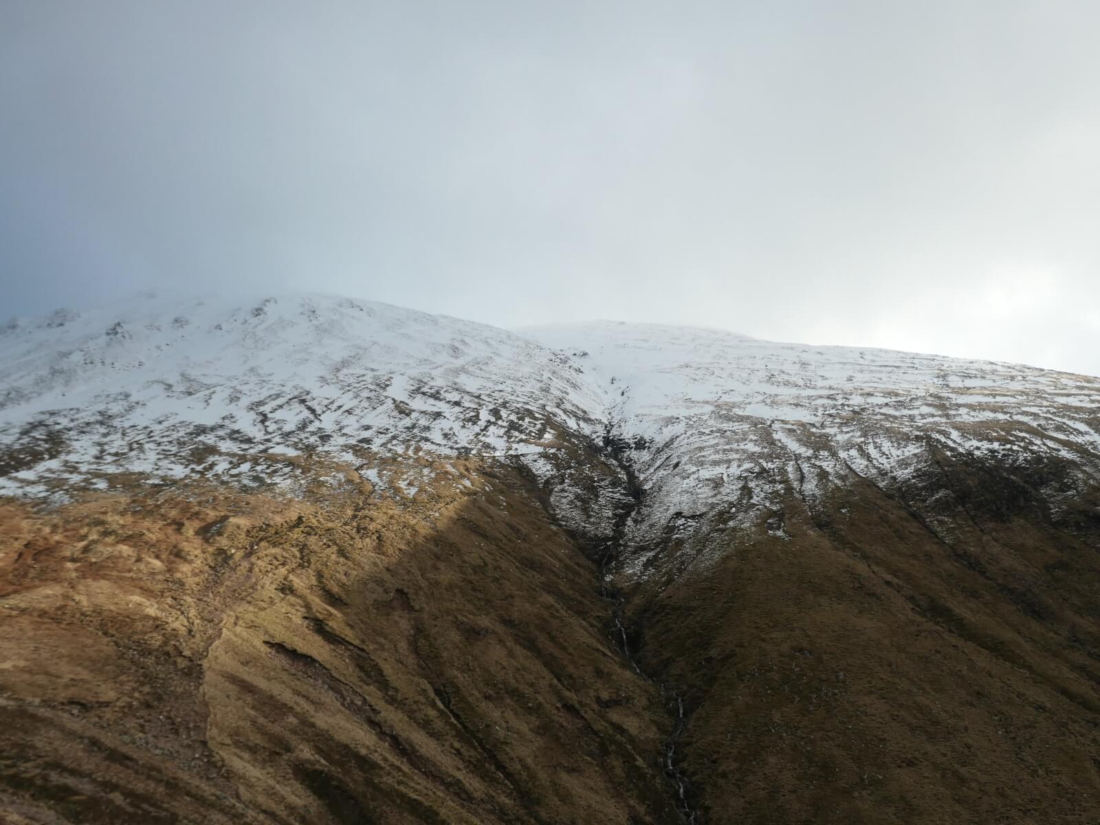
Looking up Allt na h-Uchaire, more commonly known as the Red Burn.
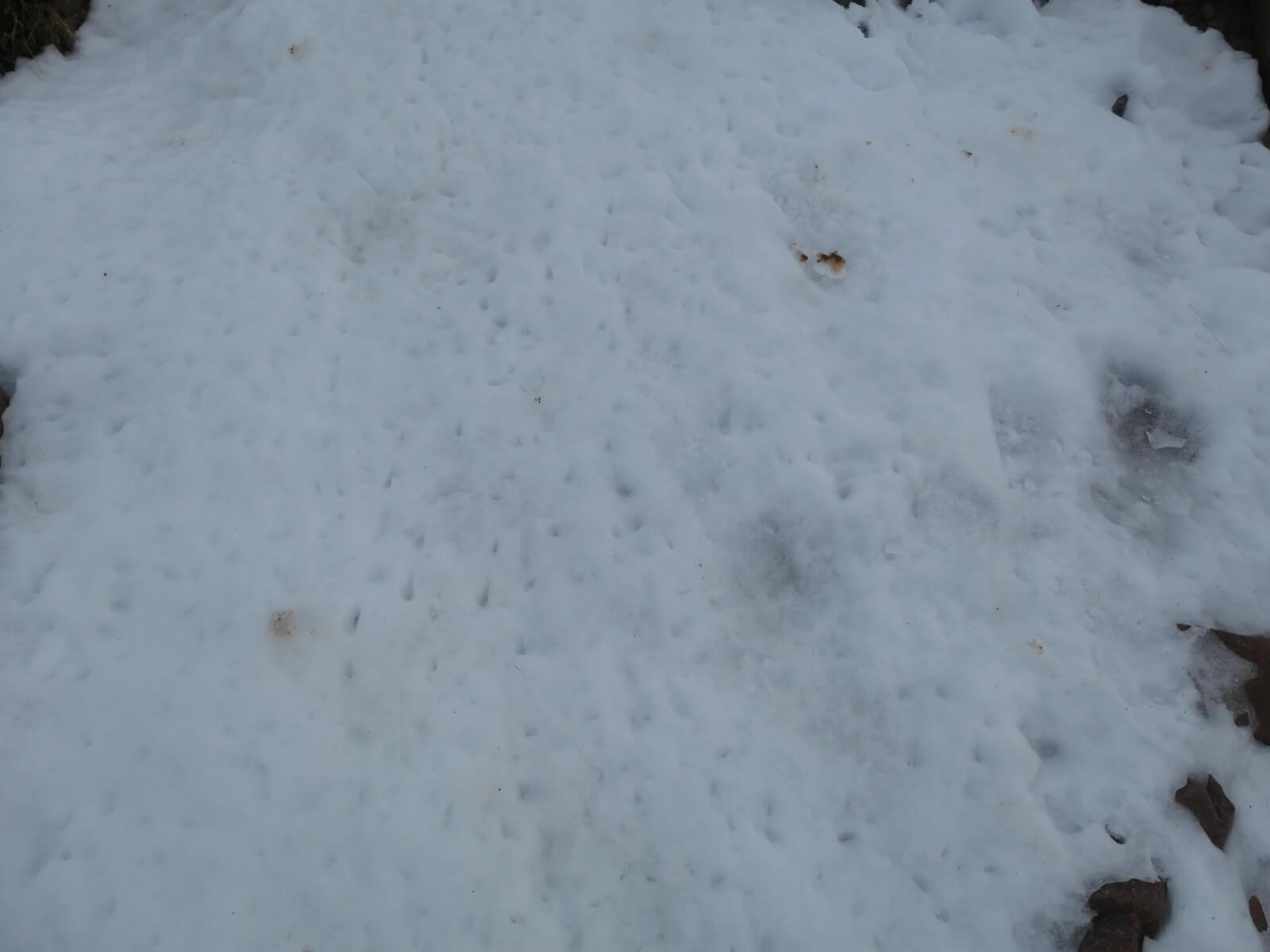
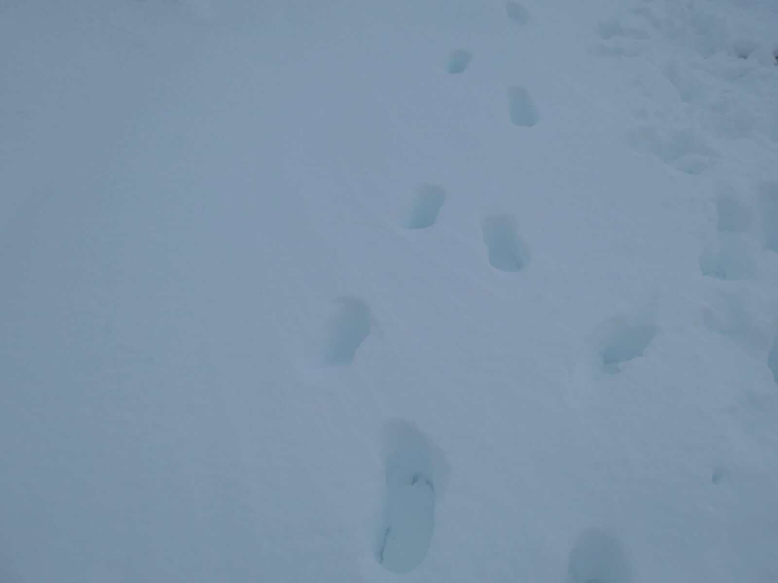
Icy conditions on the path today. Crampons or micro spikes very useful here. It was icier at lower elevations (600-800m) where there’s been more melt/freeze, firm compacted snow at mid elevations (800-1000m) and the path mainly obscured by soft drifting snow at high elevations.
Off the path was breakable crust. Crampons not needed here but very hard going.
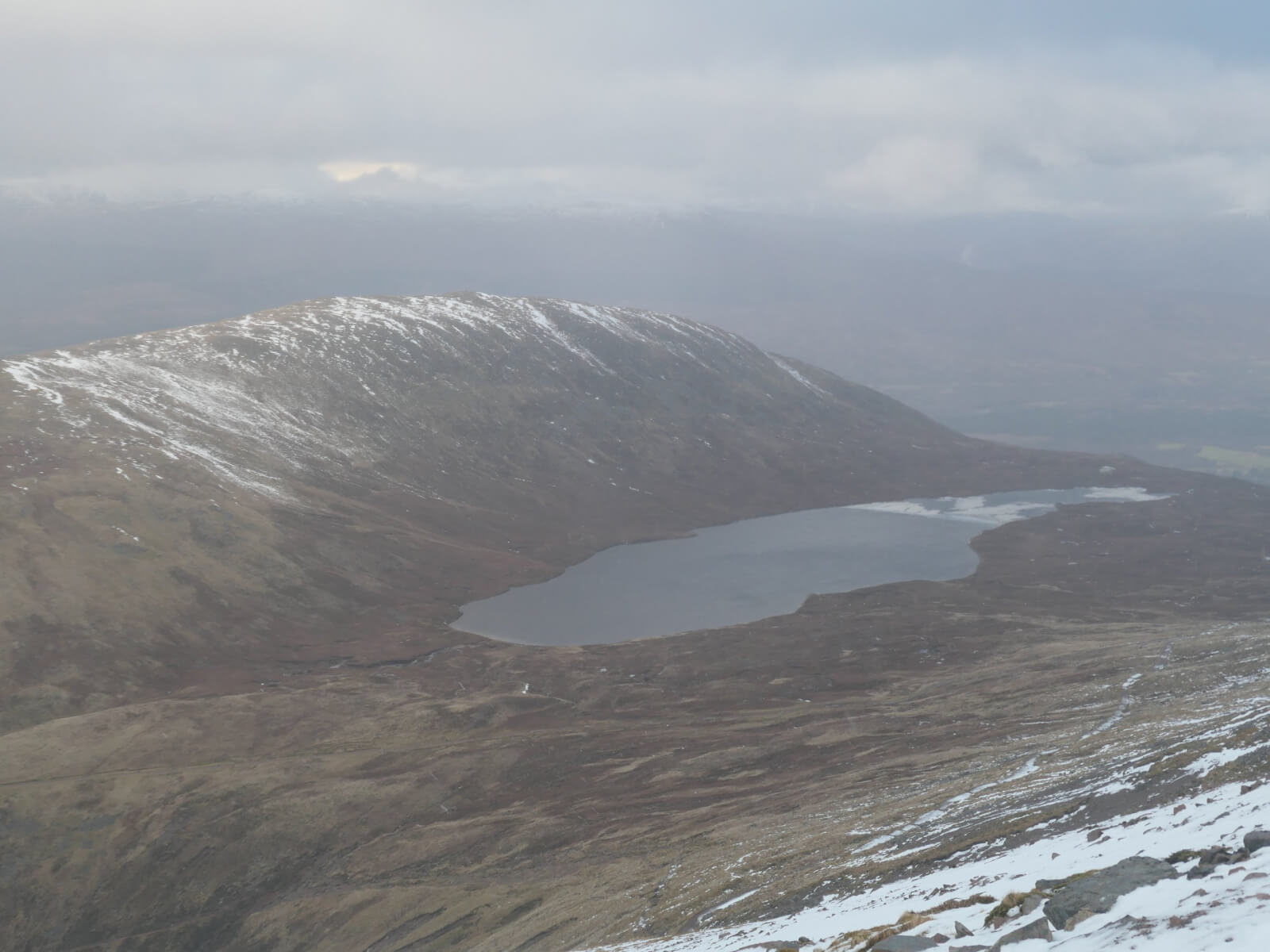
Meall an t-Suidhe and Lochan Meall an t-Suidhe, more commonly known as the half-way lochan. Note the ice all blown towards one end by the recent Southerly winds.
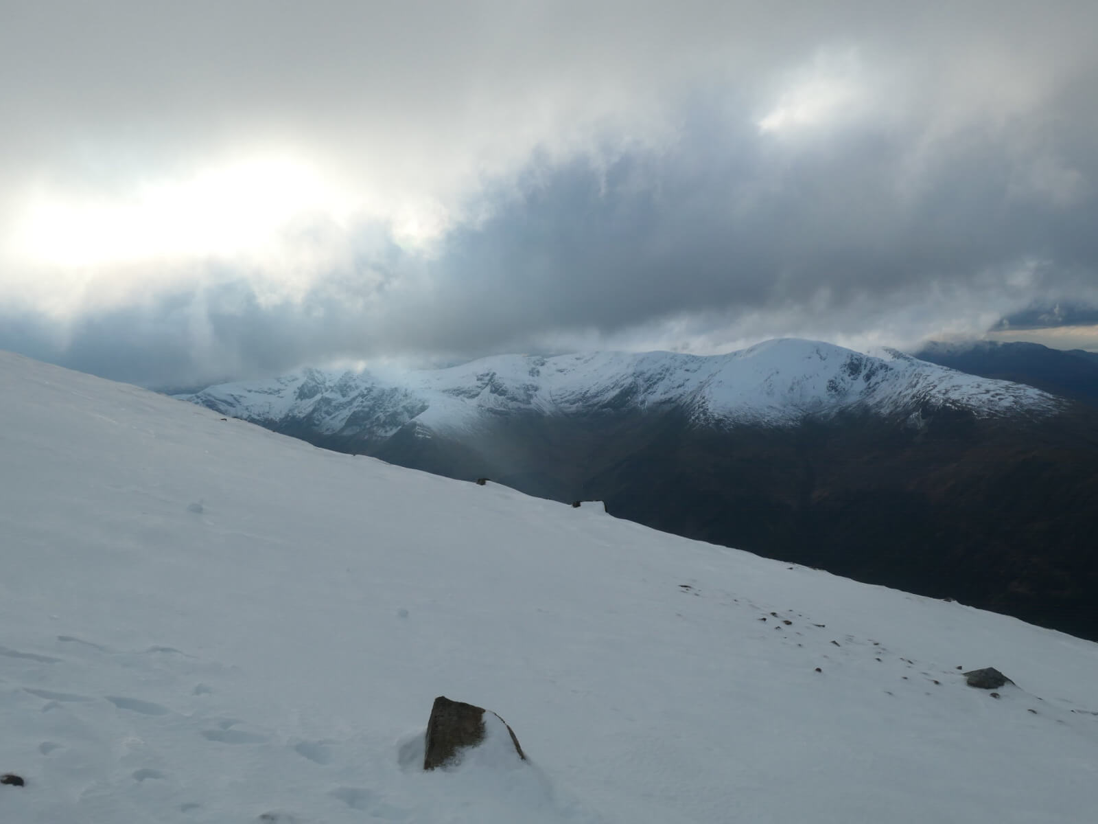
Looking to the Mamores, Stob Ban to Mullach nan Coirean. Snowline around 600 metres.
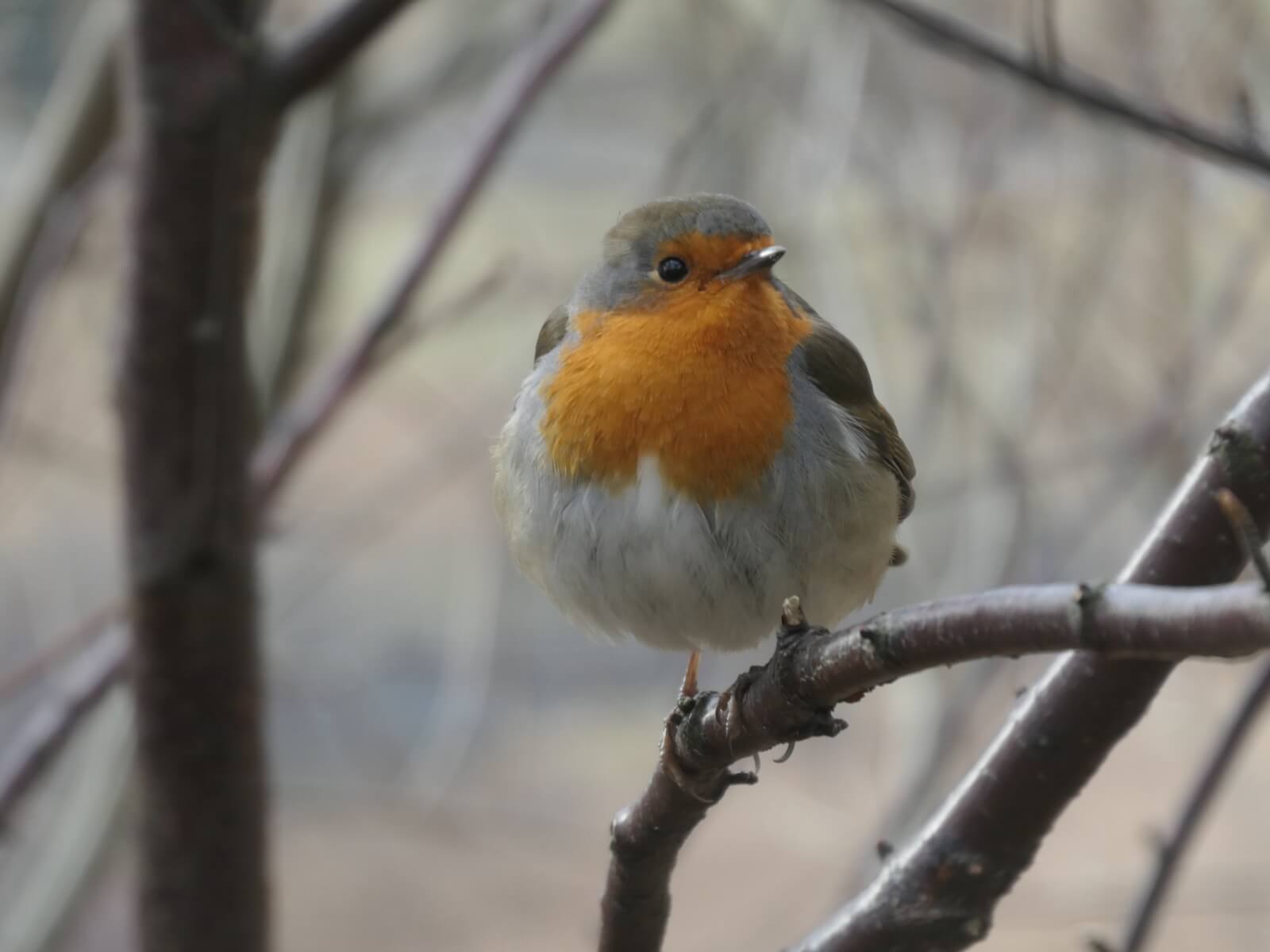
A friendly robin on my way down.
Comments on this post
Got something to say? Leave a comment