Windslab and cornices
13th April 2026
It was a mainly dry day with just a few snow showers. Strong South-South-Westerly winds were causing quite a lot of drifting of lying snow. Under foot (or ski) the snowpack was quite variable with windslab, breakable crust and firm icy areas all present.
It was reasonably clear and I spotted debris from a couple of avalanches that would have happened in the last few days. There are many large and fragile cornices present and these will become increasingly prone to collapse from tomorrow afternoon onwards as the freezing level rises above the summits. Collapsing cornices will be a likely trigger for avalanches on the slopes below.
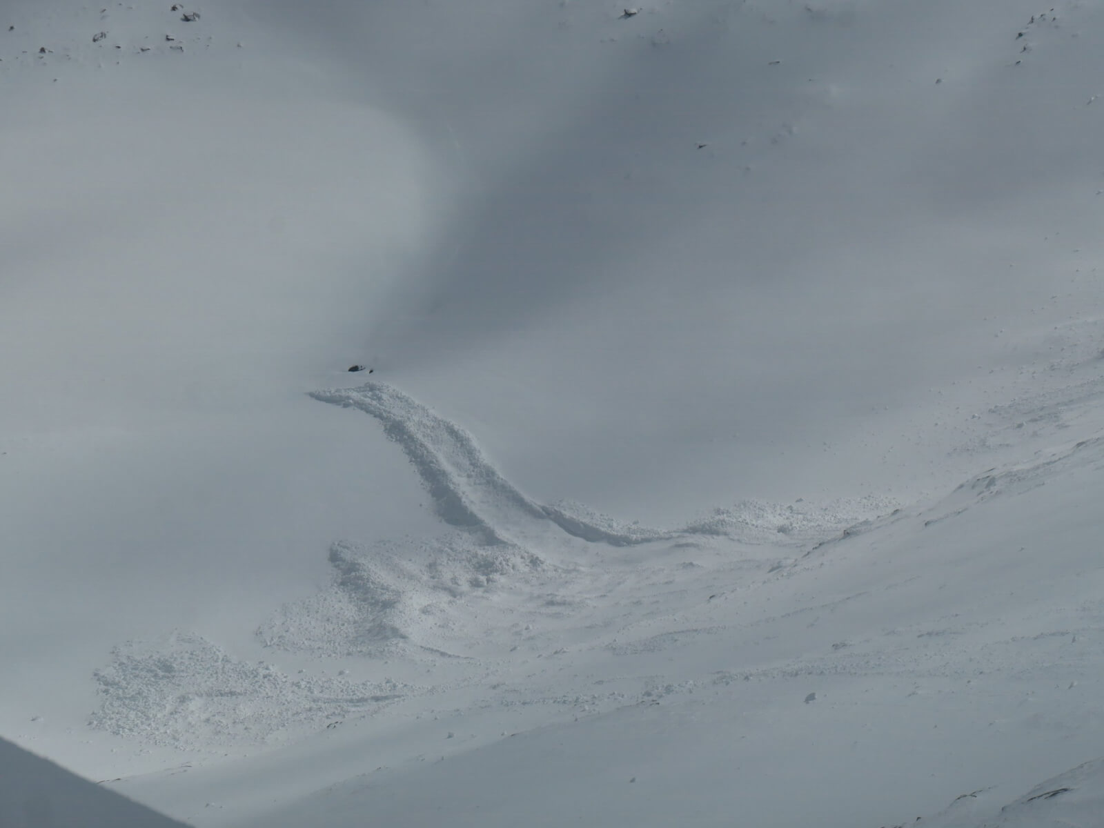
Debris from a recent avalanche reached the edge of the lochan in Coire an Lochan, Aonach Mor.
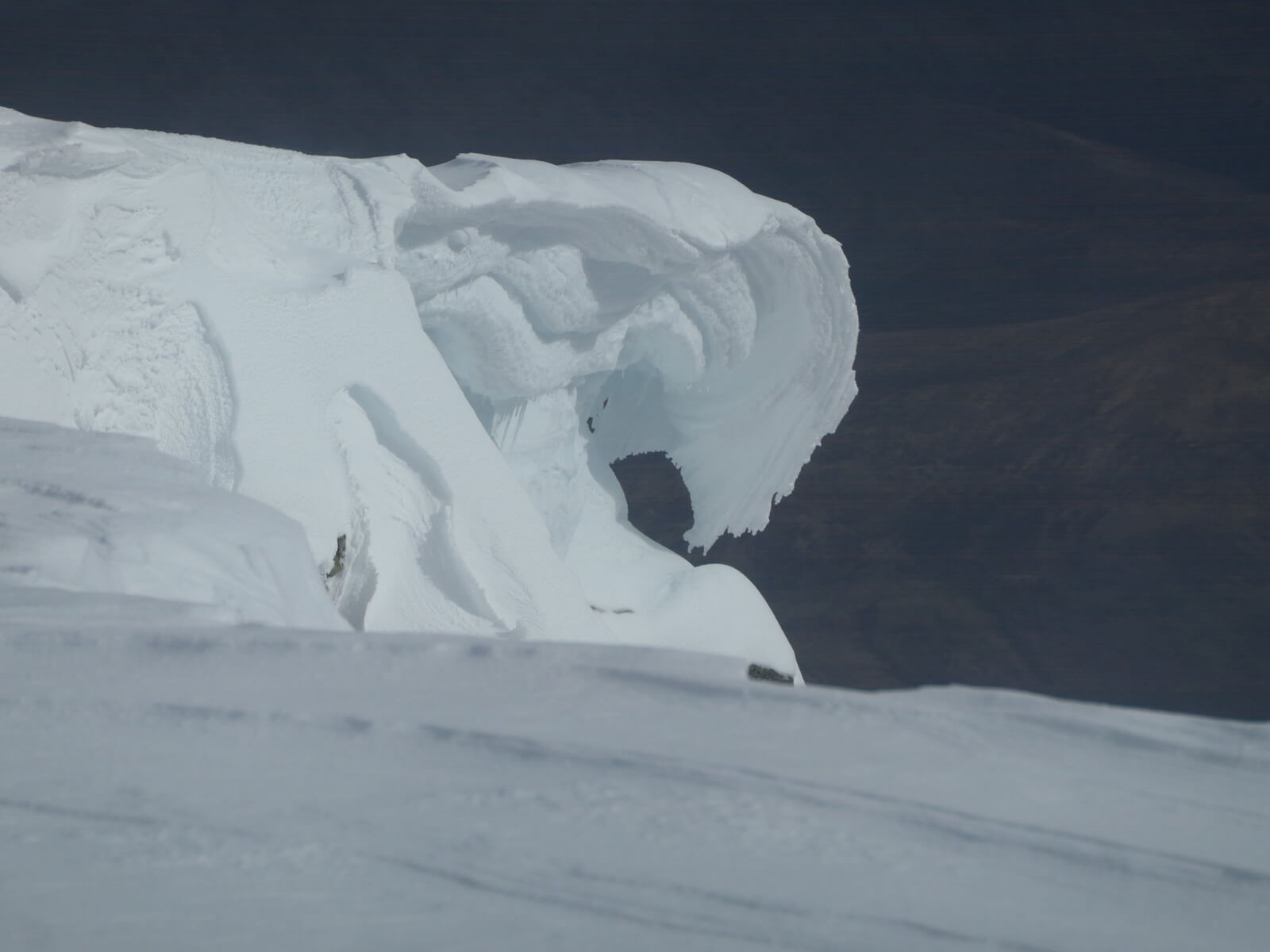
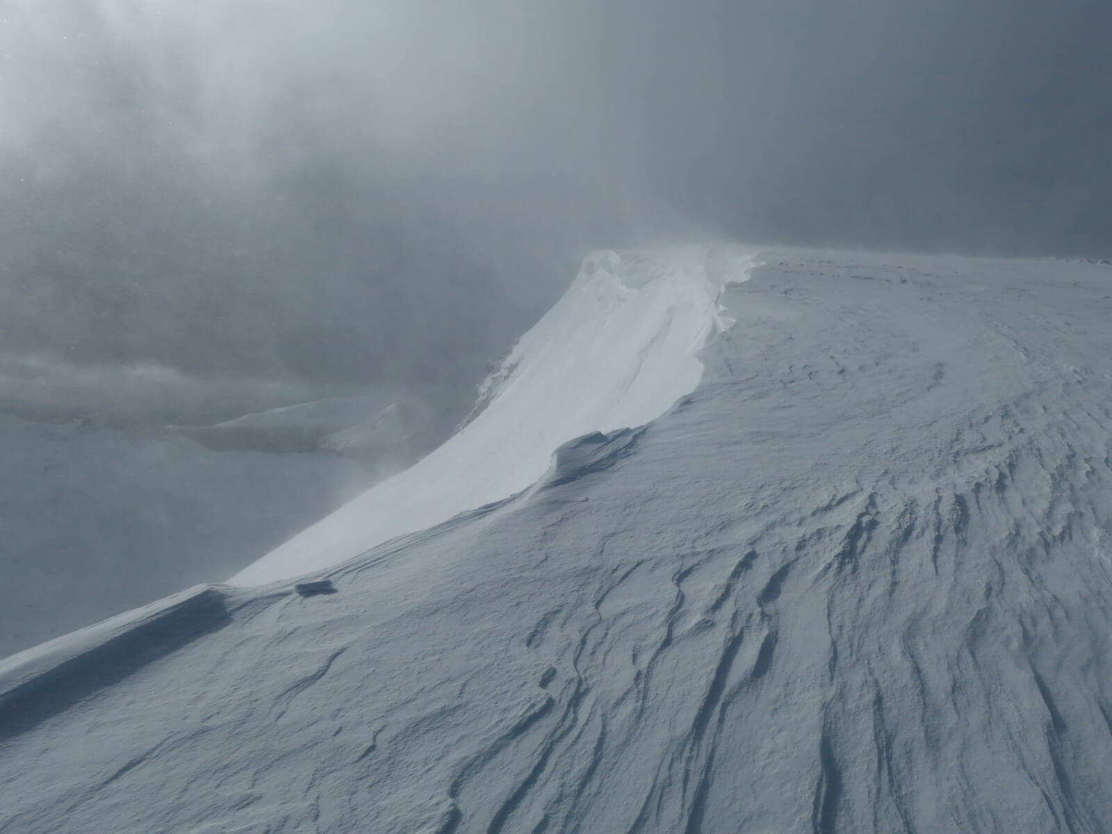
One of the large, fragile cornices!
The next two photos are both from Coire Dubh, Aonach Mor. A small change in aspect from one end of the corrie to the other can have a large effect on the snowpack in the corrie.
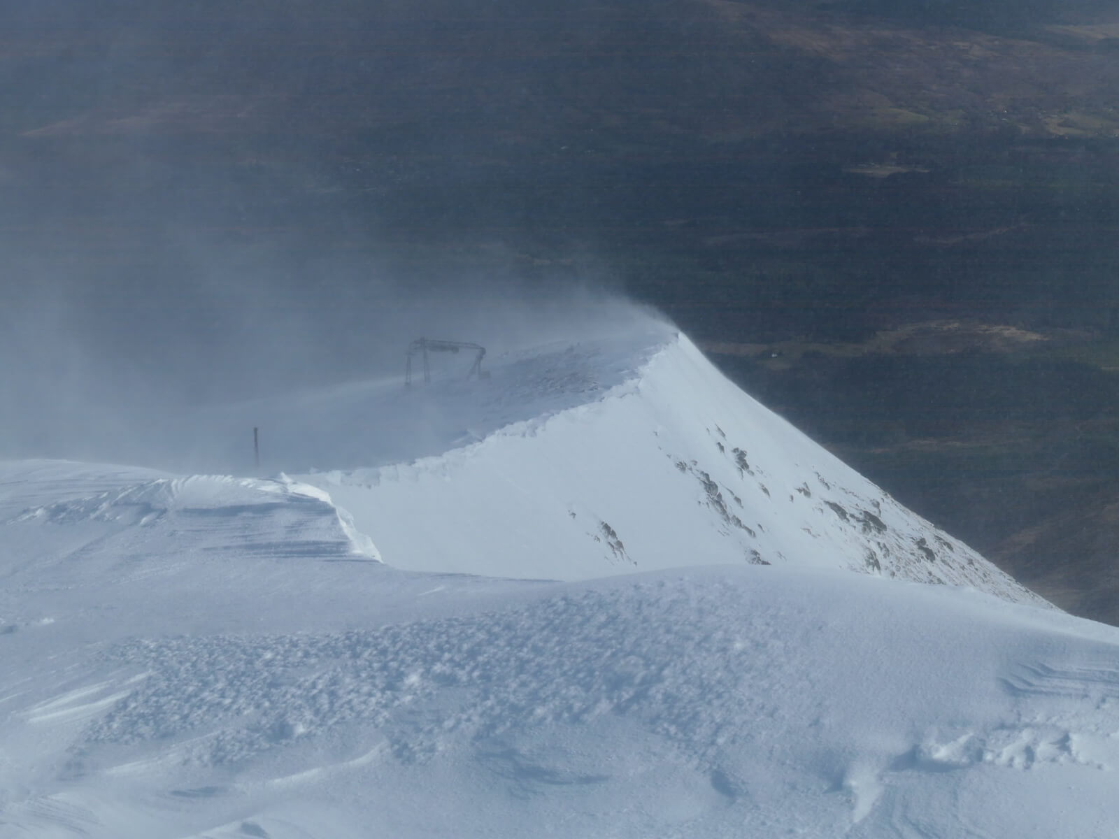
The wind was blowing up the slope at the North end of Coire Dubh scouring the top of the corrie.
At the South end of Coire Dubh the wind was blowing from right to left across the plateau building cornices and depositing windslab into the corrie.
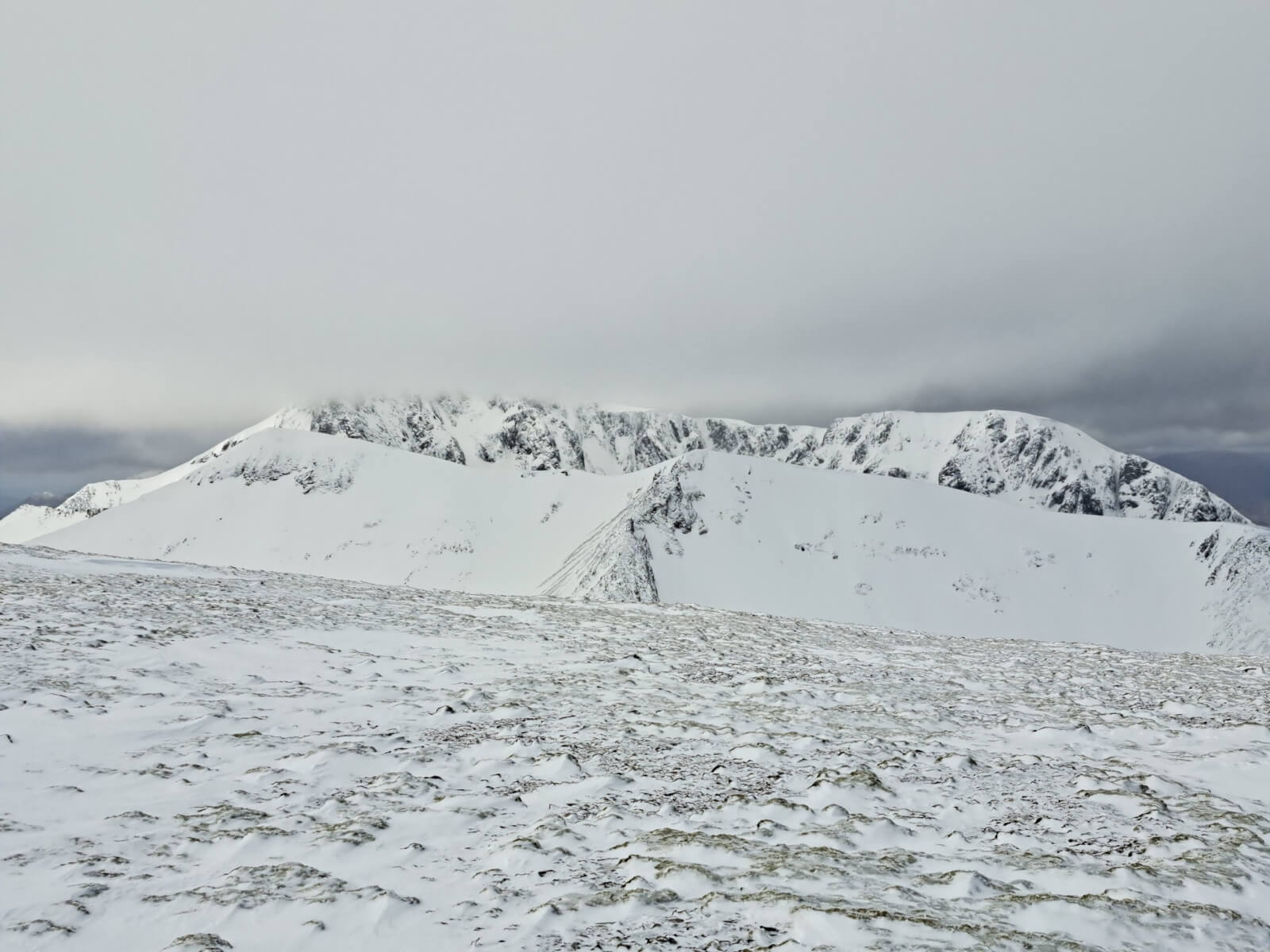
Carn Mor Dearg with Ben Nevis behind, the summit just in the cloud.
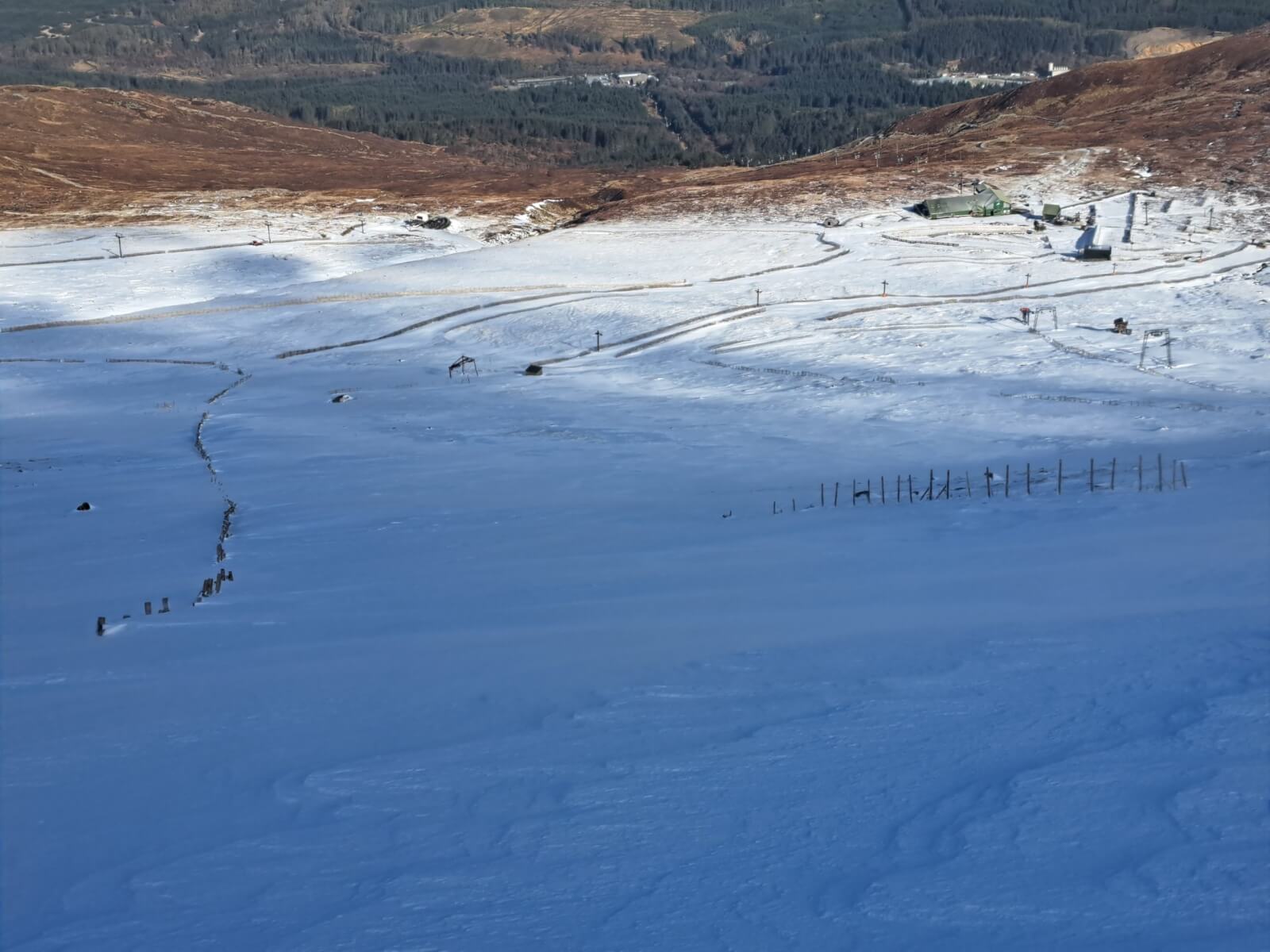
Looking down Warrens.
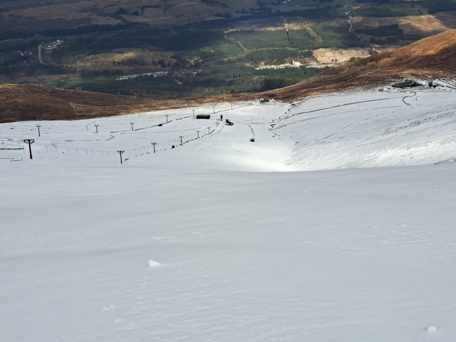
Looking down the Goose. There were a few ski tourers and hillwalkers out today.
Comments on this post
Got something to say? Leave a comment