Mostly thawing
1st April 2026
It was another very mild morning with heavier rain and stronger winds than yesterday. This has resulted in a significant thaw, most noticeable at lower elevations where the snow cover was thinner. In the afternoon the freezing level quickly dropped and rain turned to snow.
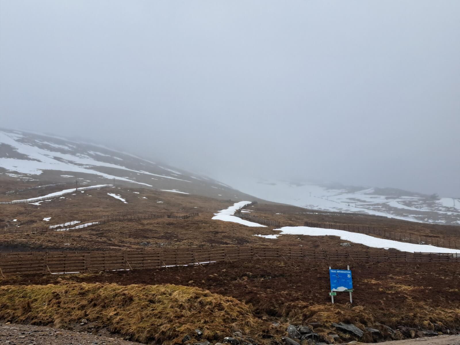
The snow loss is most obvious at lower elevations. Looking up from the top of the gondola at Nevis Range.
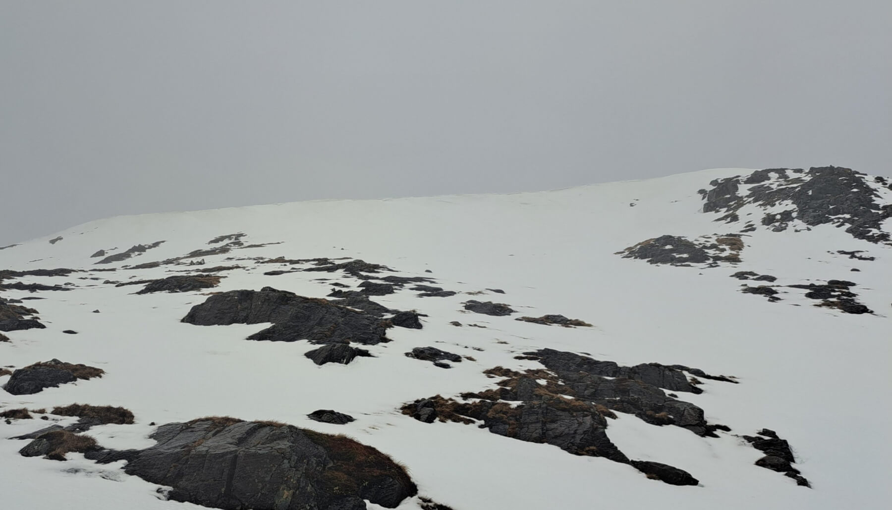
Looking up to Aonach an Nid. Most of the cornice at the top of this slope has slumped or collapsed now.
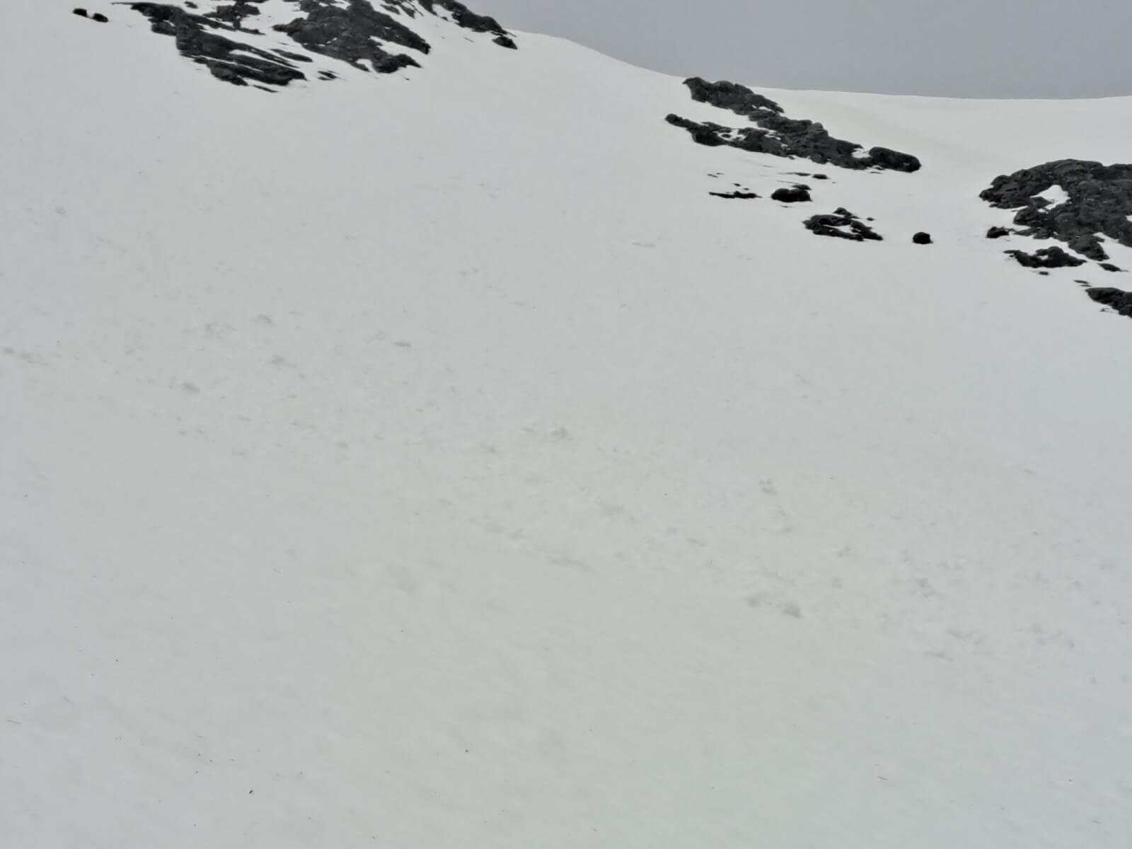
Debris from a small wet snow avalanche in G&T Gully that probably happened early yesterday morning.

Temperature graph from 1200 metres on Aonach Mor for the last 5 days. After a mild period the temperature dropped quickly this afternoon.
Comments on this post
Got something to say? Leave a comment