Rain then snow
5th March 2026
Thaw conditions continued last night and through Thursday morning before precipitation turned to snow from around midday. Initially wet snow on the highest summits precipitation gradually turned to snow above around 750 metres then cleared. A ridge of high pressure will bring fine settled conditions on Friday. The existing snowpack is expected to become very firm as cold, clear conditions develop.
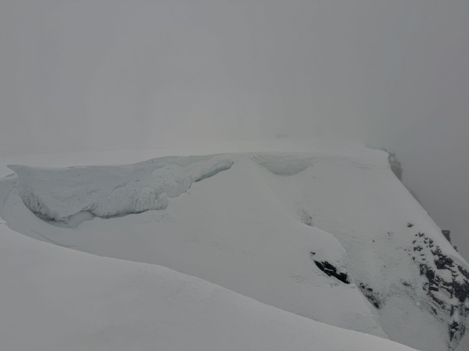
The top of Easy gully, Aonach Mor. This was taken at around 1240 not long after rain had turned to snow. Old foot prints still just visible on the South-East facing slope. Large cornices along a lot of the east face of Aonach Mor.
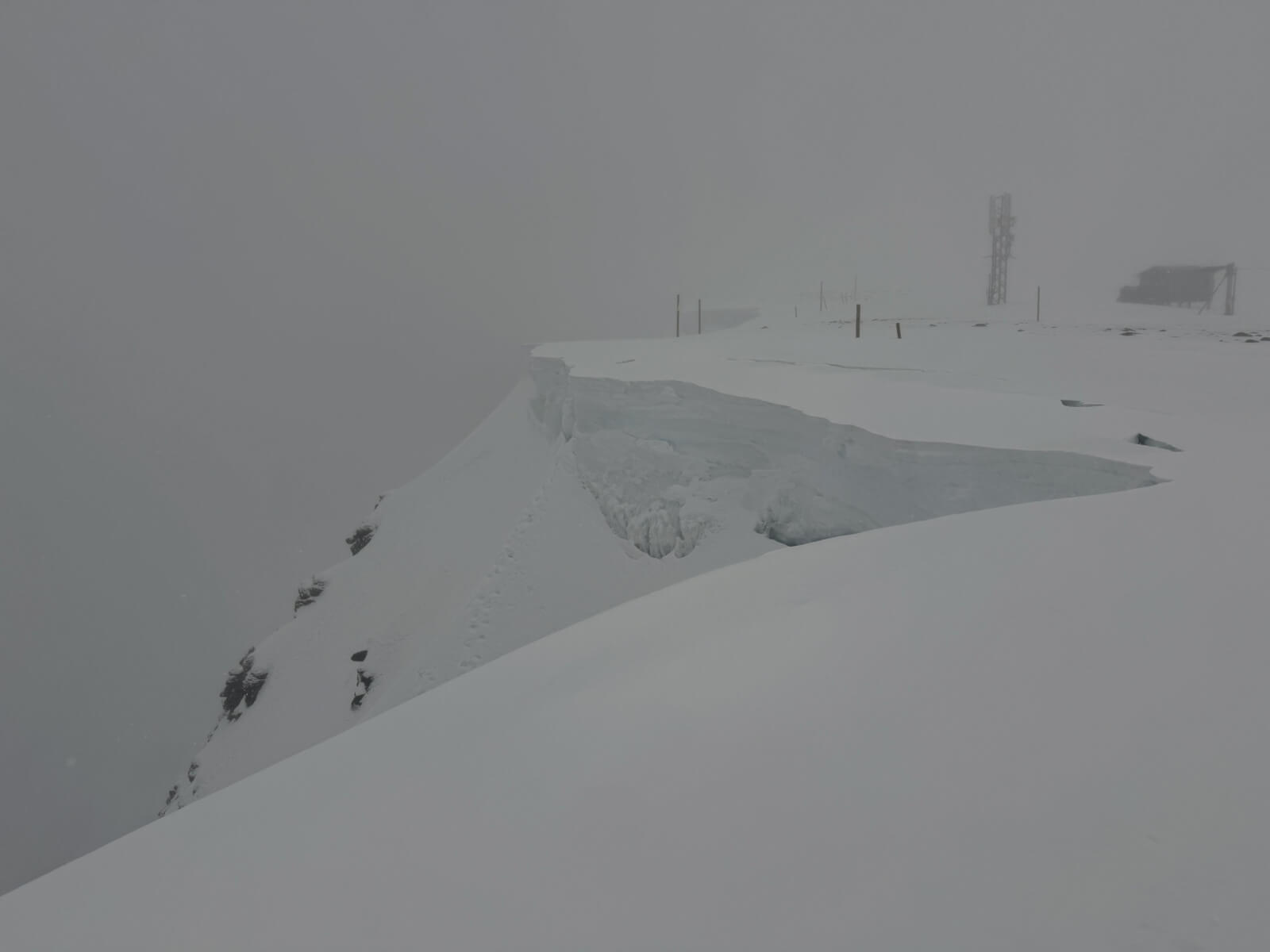
More large cornices visible here. Also notice the crack lines a few metres back from the edge that have developed during thaw conditions. A thin covering of new snow is just visible here, more obvious where it has partially filled the crack line.
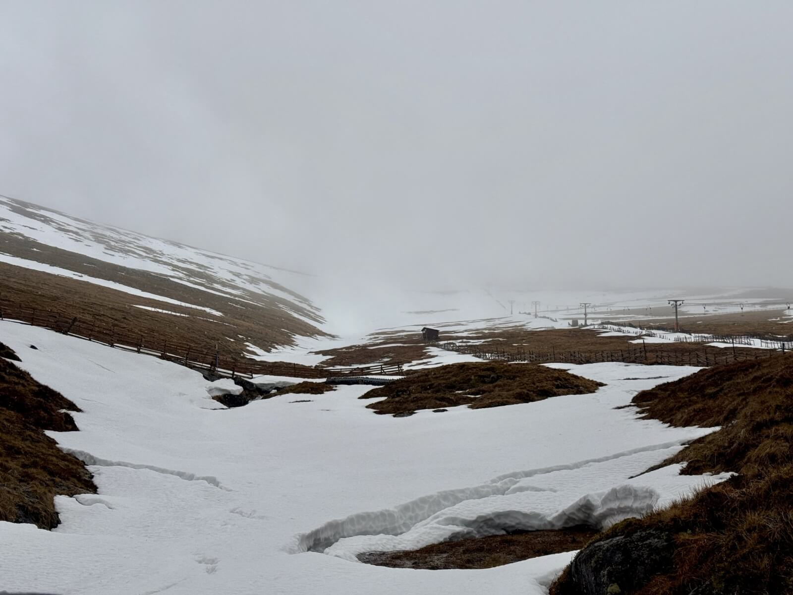
Looking up the goose area at Aonach Mor during thaw conditions.
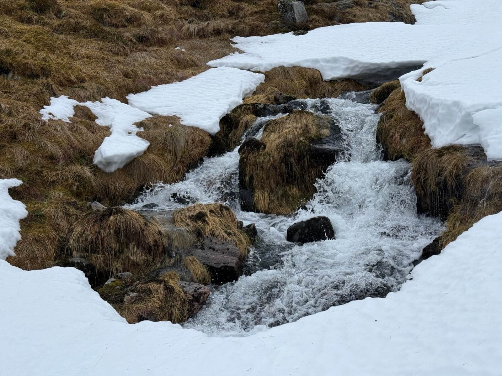
Holes in the snow above streams creates a hazard during thaw conditions. This is near the bottom of the goose gully area at Aonach Mor.
Comments on this post
Got something to say? Leave a comment


