A temperature spike
15th March 2026
It was another windy day with snow showers. There was a temperature spike around dawn when the freezing level briefly rose to 1130 metres. The temperature at this height then dropped to -4 Celsius by the 16:00. While this spike created some temporary instabilities it’s overall effect has been to help consolidate and stabilise the snowpack. Be aware that instabilities still exist, particularly above 1000 metres.
Photos showing conditions on Ben Nevis below.
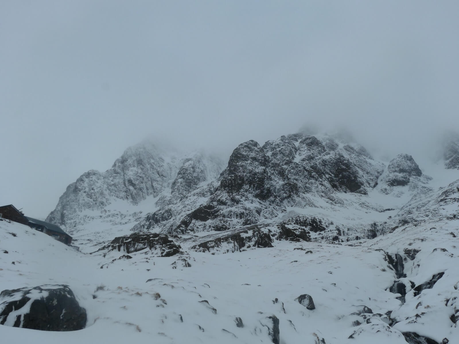
North East Buttress rising above the CIC hut with Observatory Buttress and Tower Ridge to the right.
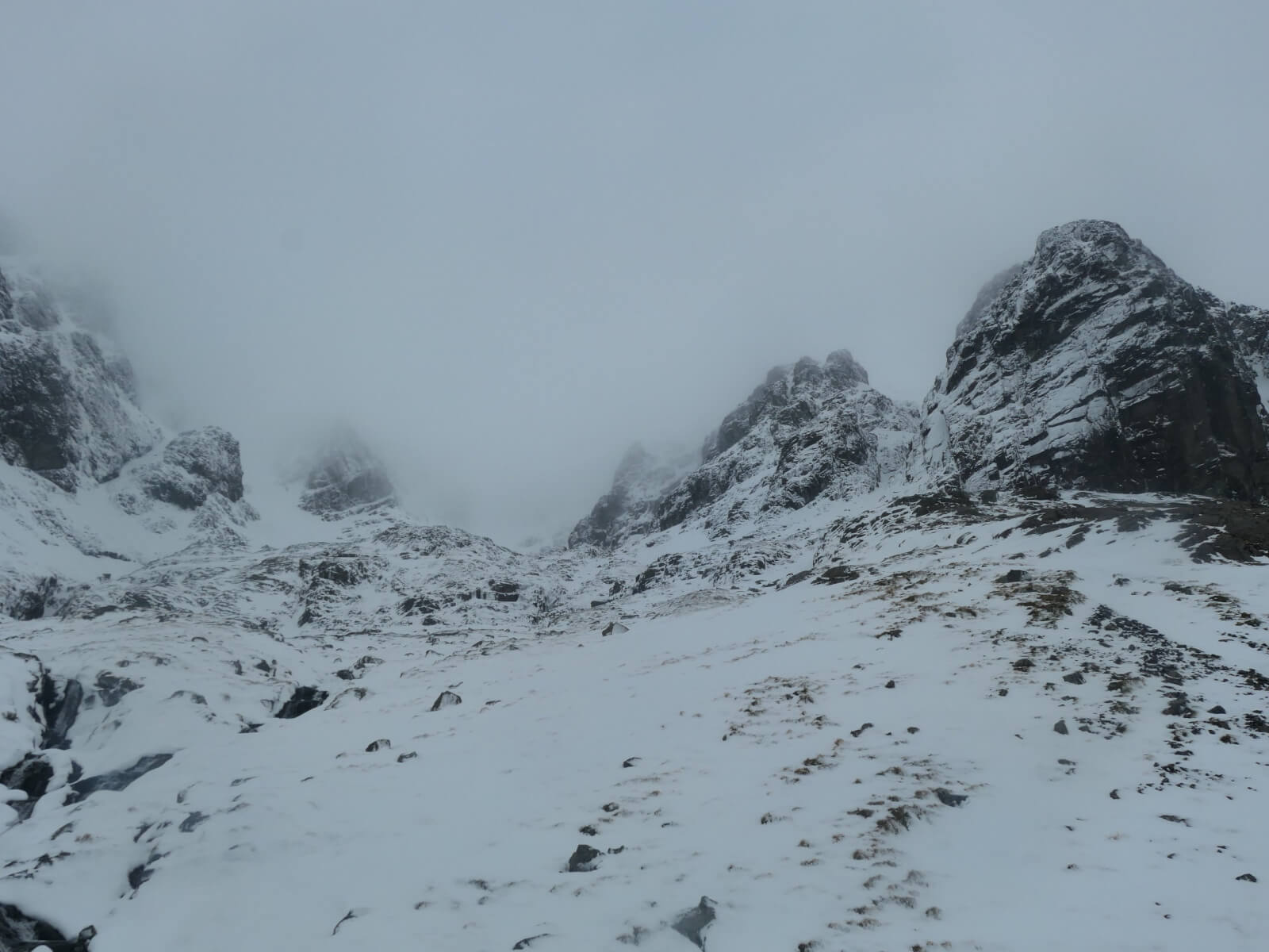
Coire na Ciste was mostly hiden in the cloud.
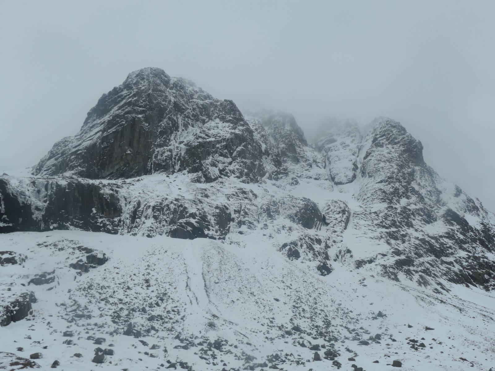
Carn Dearg Buttress to Castle Ridge.
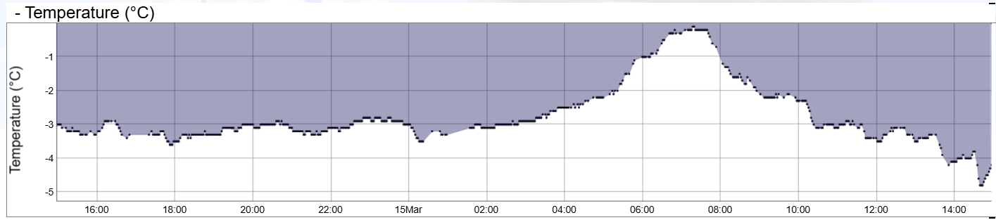
Temperatures for the last 24 hours at 1200 metres on Aonach Mor. The temperature spike this morning is very obvious. The freezing level didn’t quite get this high but did just reach the Met Office weather station at 1130 metres.
Comments on this post
Got something to say? Leave a comment