A stormy start
12th March 2026
It was a stormy night and first part of the morning. Winds were gusting over 100 mph on Aonach Mor (at which point the Met Office weather station stopped working). The freezing level rose to 1250 metres with very heavy precipitation only falling as snow on the higher tops with rain elsewhere. Over 40mm of rain was recorded in the last 24 hours in Glen Nevis.
At around 10:00 things changed for the better with the wind dropping to gale force, the freezing level dropping several hundred metres and the weather becoming mainly dry with occasional heavy snow showers.
These conditions will have resulted in unstable windslab and fragile cornices, especially above around 1100 metres.
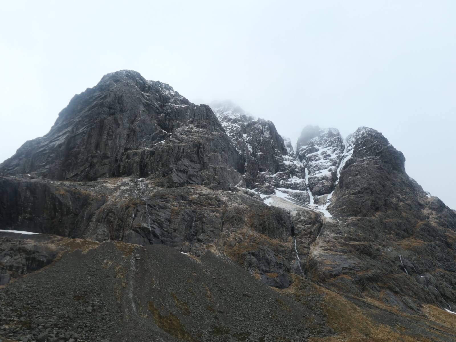
Photos below from Ben Nevis taken in some of the brighter moments.
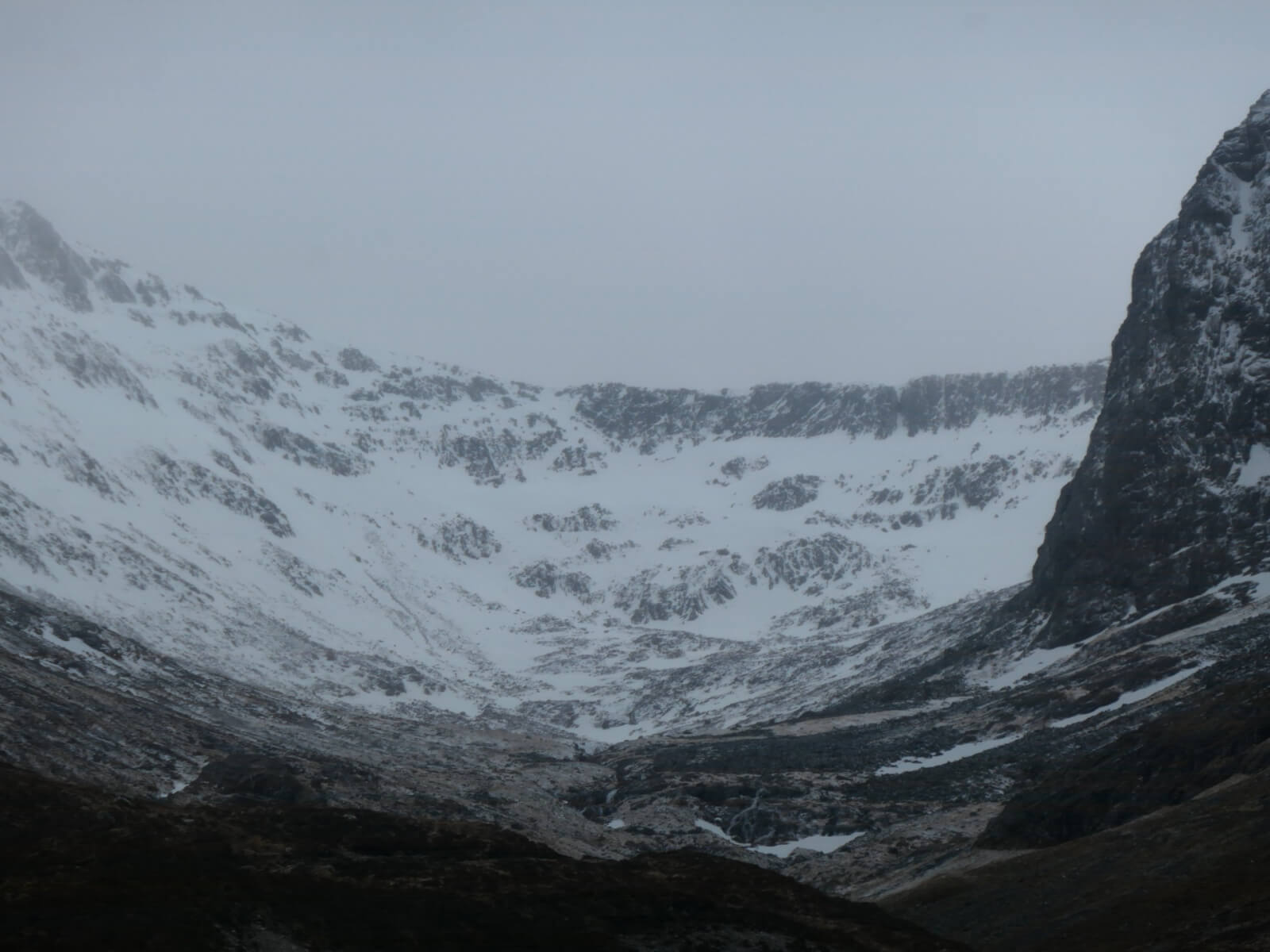
Coire Leis
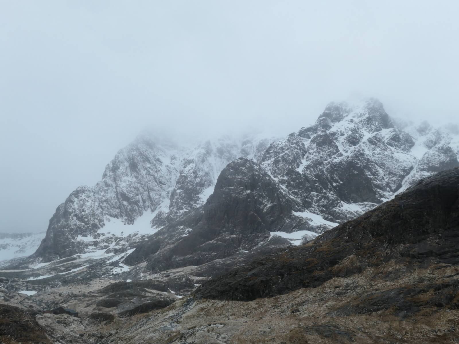
North-East Buttress and Tower Ridge.
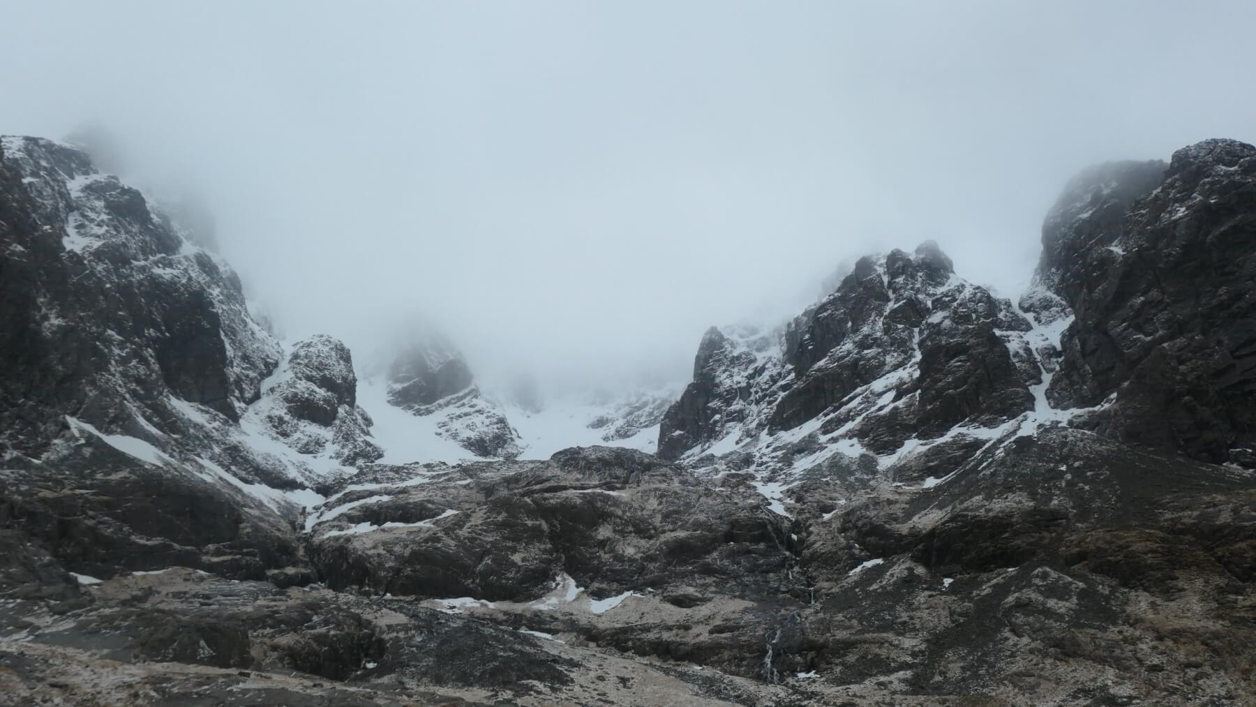
Coire na Ciste
Carn Dearg to Castle Ridge.
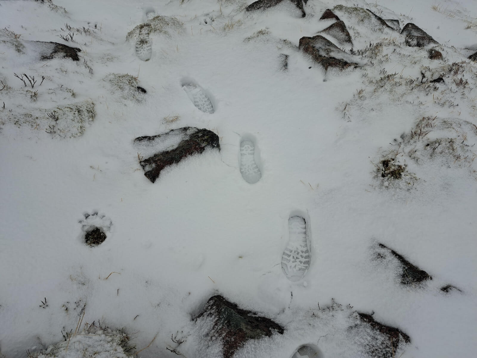
Fresh snow at 800 metres which fell this morning after overnight rain.
Comments on this post
Got something to say? Leave a comment