Some views from Carn Dearg Mheadhonach
9th February 2026
Today’s observations were from Carn Dearg Mheadhonach, giving views of both Ben Nevis and the West face of Aonach Mor. Unfortunately the low cloud didn’t allow the full North face of Ben Nevis to be seen, but photos should give an impression of conditions. There was some drifting above around 950 metres today after some precipitation early this morning, however new deposits were shallow and consolidating quickly, in the reasonably mild temperatures. The freezing level was around 1000 metres for most of the day. The existing snow cover was a mixture of firm icy snow and breakable crust.
Precipitation is forecast Monday night into Tuesday, starting as snow only above 1100 metres turning to snow above 950 metres during the morning when precipitation is heaviest then back to rain below 1100 metres by the end of the afternoon. This will be combined with Strong East-South-East winds producing windslab in the high gullies and coire rims as detailed in the report and thaw conditions at lower elevations. Thaw conditions will produce ice and rockfall hazard at low and mid elevations.
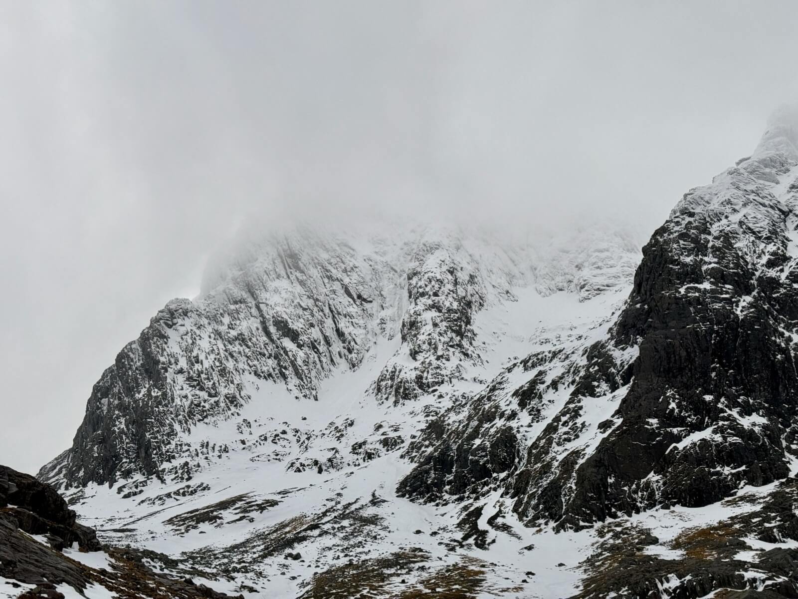
Looking towards Observatory Gully area, Minus face on the left, Observatory Ridge in the centre.
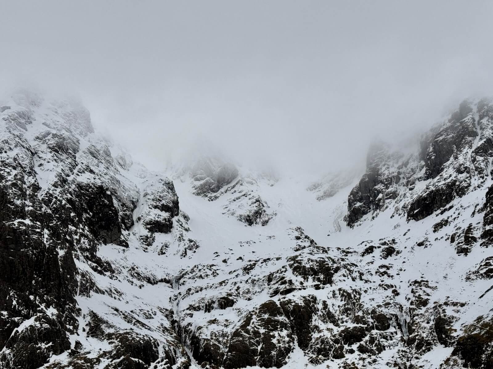
Coire na Ciste, Ben Nevis
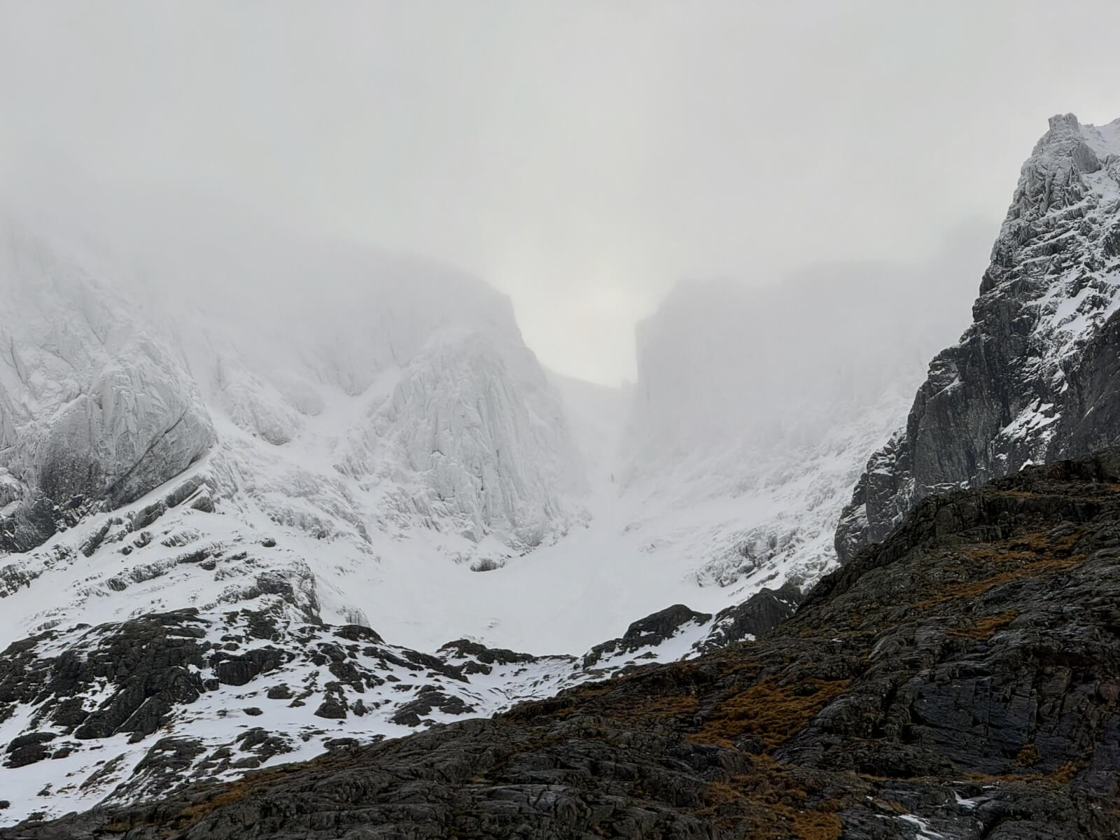
Number 3 Gully, Ben Nevis

Ben Nevis. Number 5 gully on the left, Carn Dearg Buttress in the middle and the Castle gullies on the right.
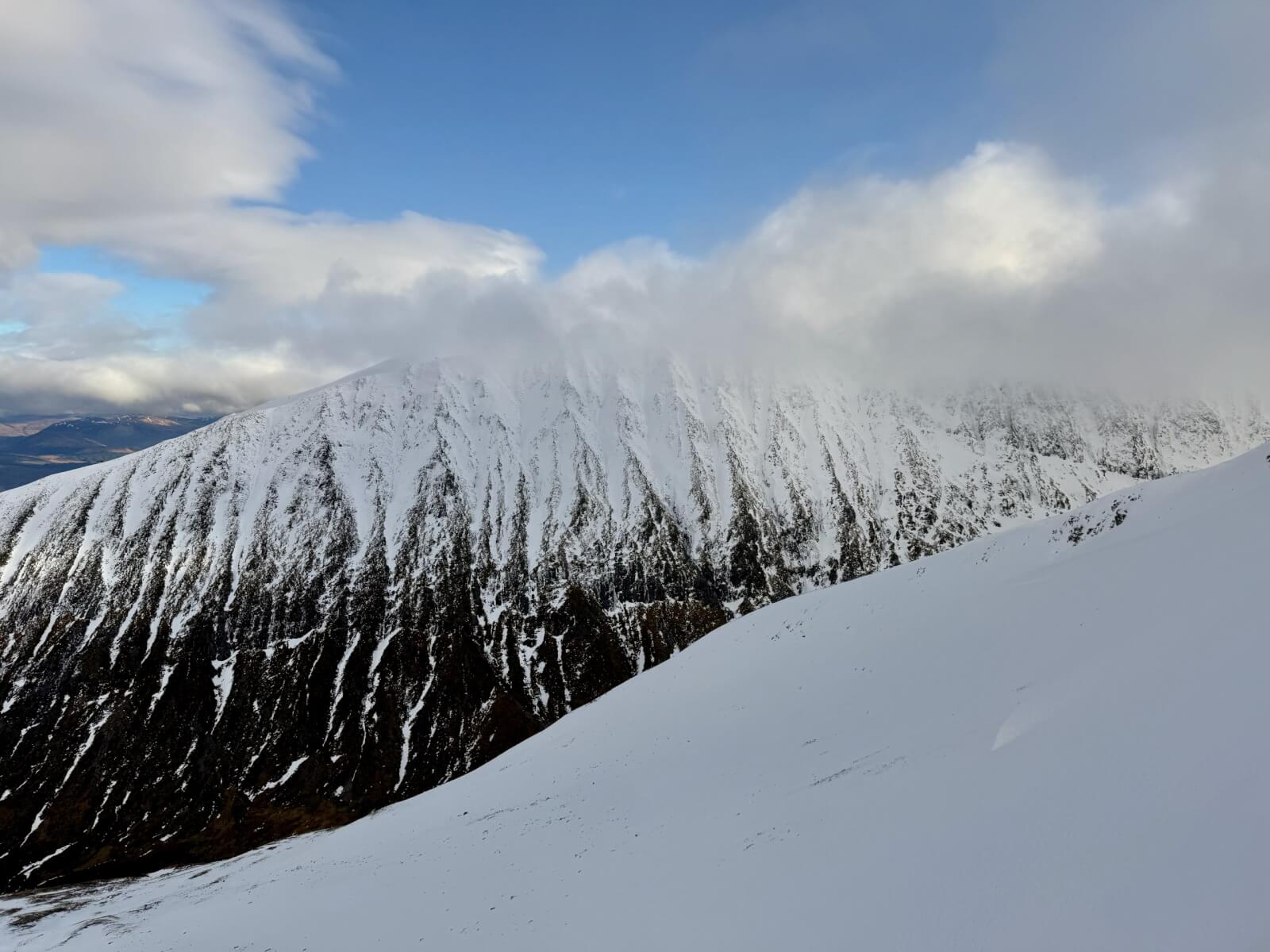
West face of Aonach Mor.
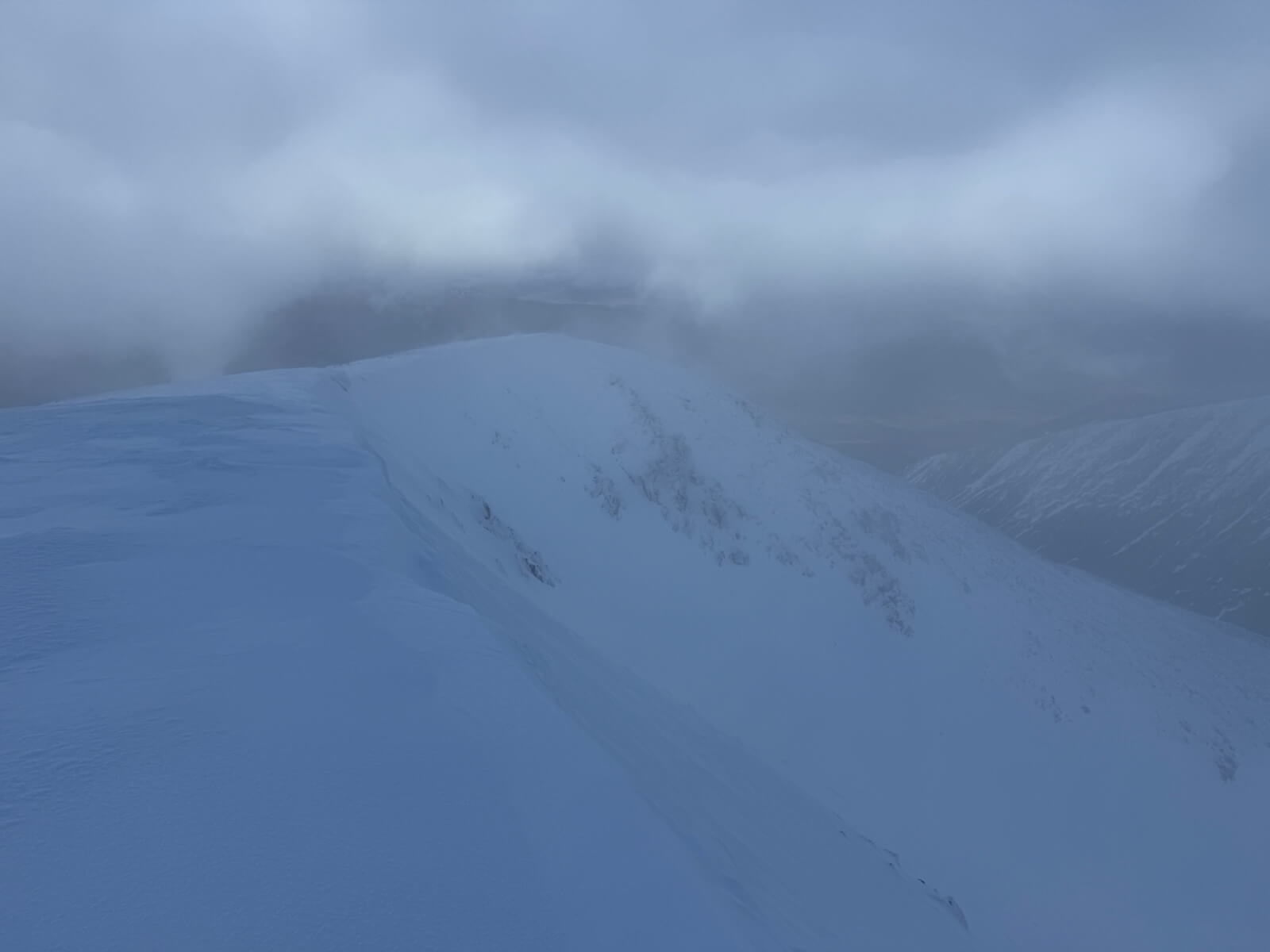
Carn Beag Dearg
Comments on this post
Got something to say? Leave a comment