Carn Mor Dearg
1st February 2026
Another day with relatively settled weather and little change in the snowpack. The wind was not too strong and was once again from between the South-East and the South. There was a cloud cap on the higher summit while the glens saw some nice spells of sunshine. It was generally dry with perhaps a light snow shower during the afternoon. The freezing level crept up to around 1000 metres.
Despite a good search on West to North aspects I found very little soft snow on Carn Beag Dearg and Carn Dearg Meadhonach. It must have all been blown off by the strong SE winds earlier in the week. Generally things seem to be consolidating, and over the past 24 hours it feels like the hazard had moved from the bottom end of the moderate hazard band, to the top end of the low hazard band. That is not to say that avalanches are impossible, just that every day things get a wee bit more consolidated. With little change in the weather tomorrow, it seems likely that this process of slow consolidation will continue.
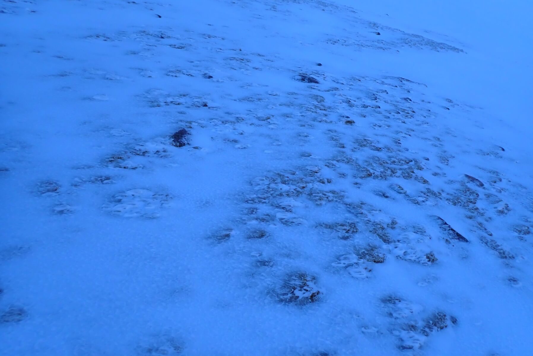
At higher levels the snowpack has an icy crust in most locations.
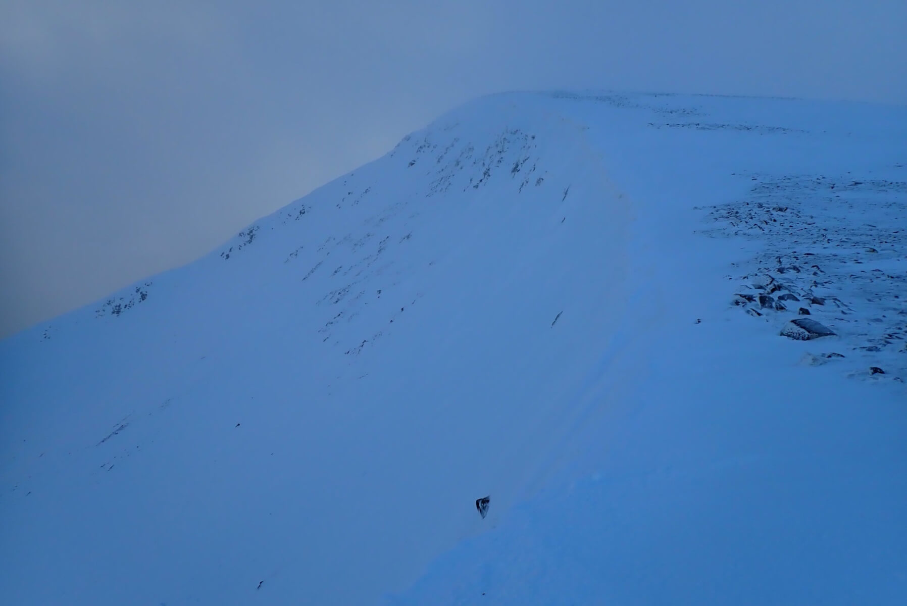
The Carn Dearg Beag bowl. Hard to tell in this photo, but all this snow was pretty firm.
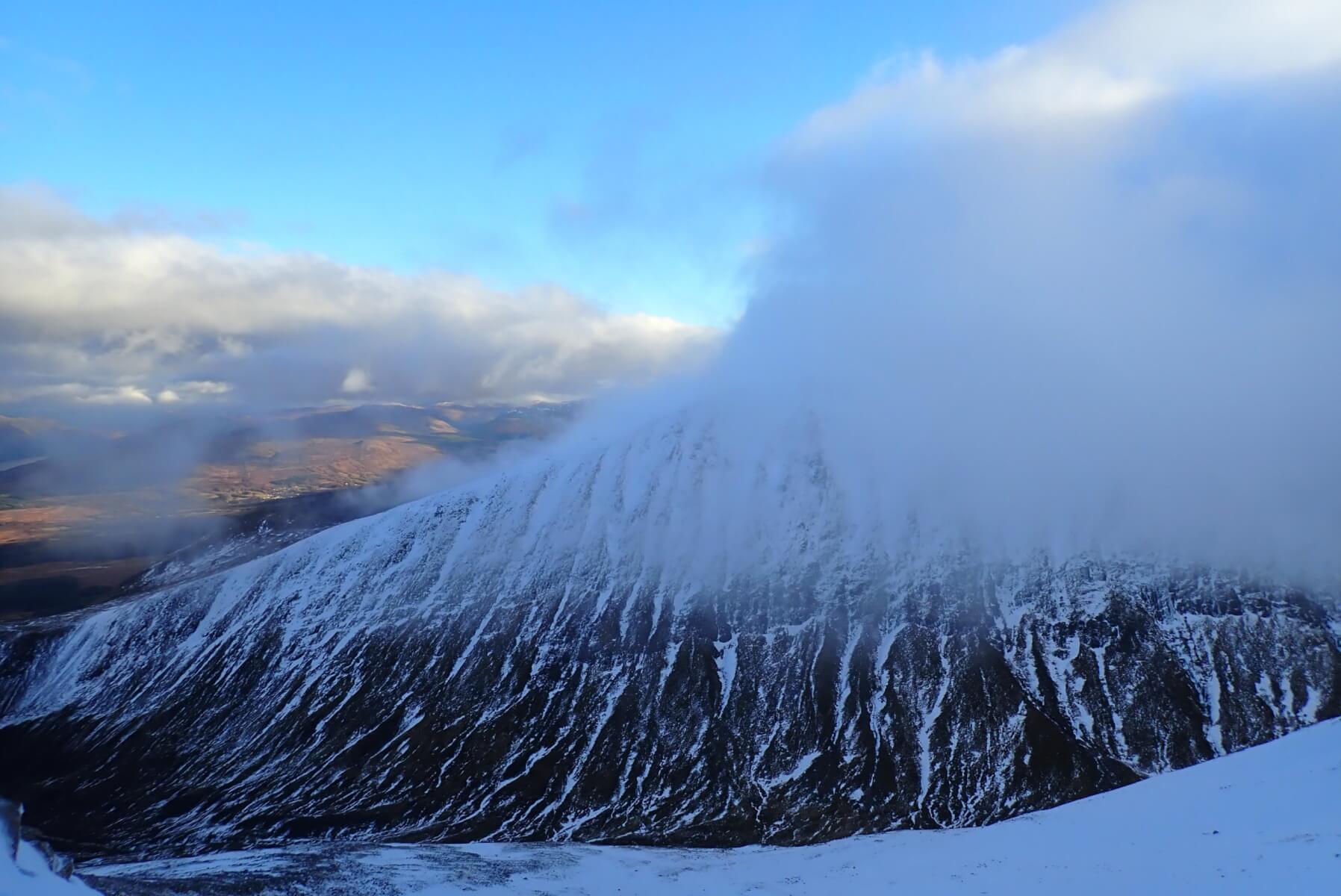
Looking over to the West face of Aonach Mor. Cloudy on the tops but clear in the glens behind.
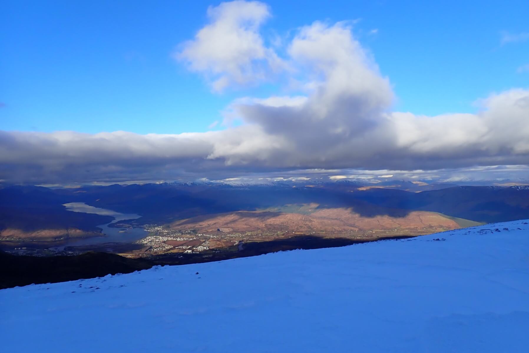
A fair bit of blue sky around with some nice sunshine in Caol/Banavie area.
A similar view a few moments later when a bank of cloud which was always lurking over the summits expanded to engulf me. It did however, clear as quicky as it arrived.
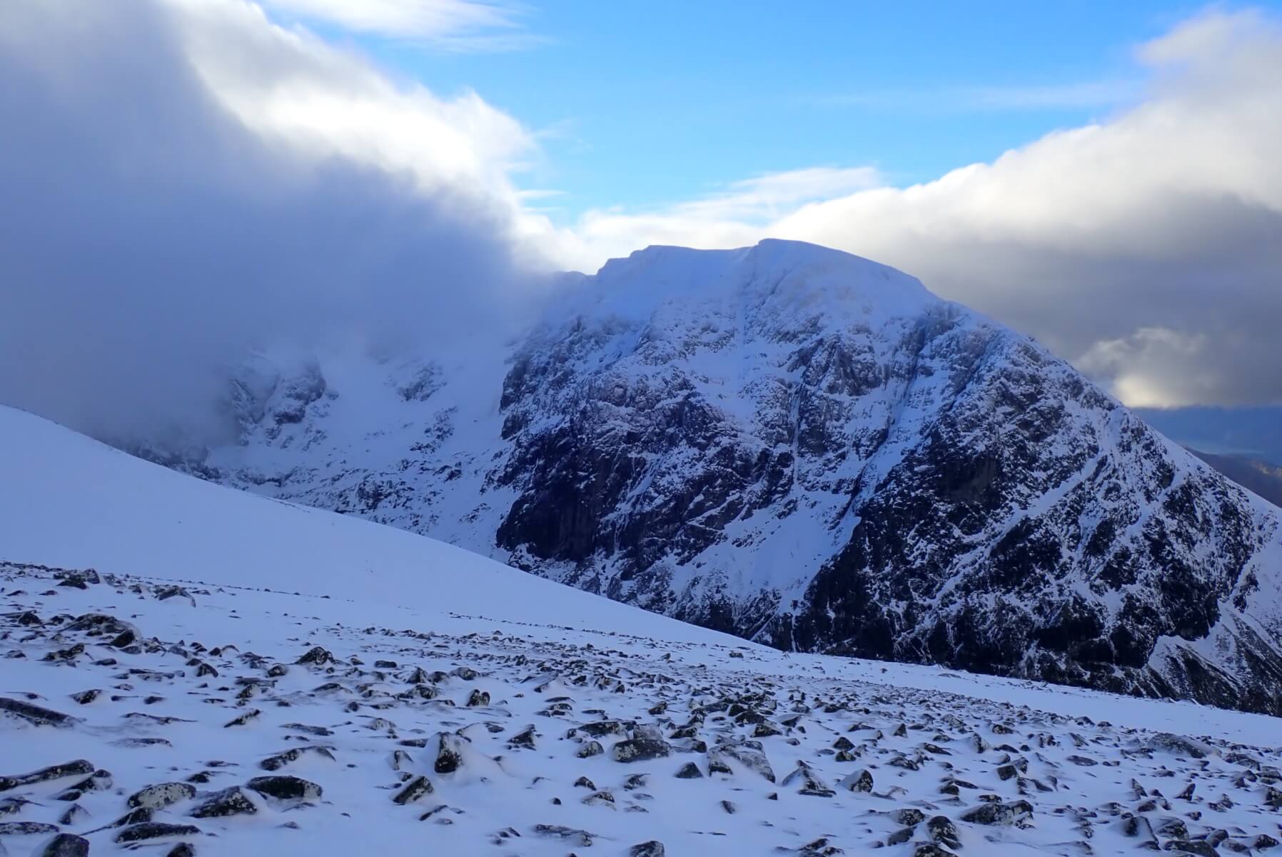
Looking back at Ben Nevis.
Comments on this post
Got something to say? Leave a comment