Windslab!
14th January 2026
There was fresh snow overnight lying as low as 400m; at this level it was thawing as the day progressed, with the temperature at 300m around +4 degrees. The main interest from an avalanche perspective in the Lochaber region, lies above 900m where the snow is loose, dry and drifting. It was hard going underfoot with mid-calf to knee deep drifts on most aspects on the North face of Ben Nevis. In Coire na Ciste there was evidence of historical avalanche debris on the slopes below No 2, No 3 and No 4 gullies. I also observed a medium sized, dry snow avalanche pouring out of the mist over a buttress and gully in the Trident Buttress area.
Fragile windslab is present on most aspects above 900m on the North side of Ben Nevis. A further 20cm of snow is expected in the next 24 hours coming in on strong Southerly winds. Expect further windslab development and fragile cornices. The avalanche hazard is Considerable.
Flat light and a cloud base around 1000m don’t lend themselves to the best photos, but they will give you a flavour of conditions in Corrie no Ciste on the Ben today.
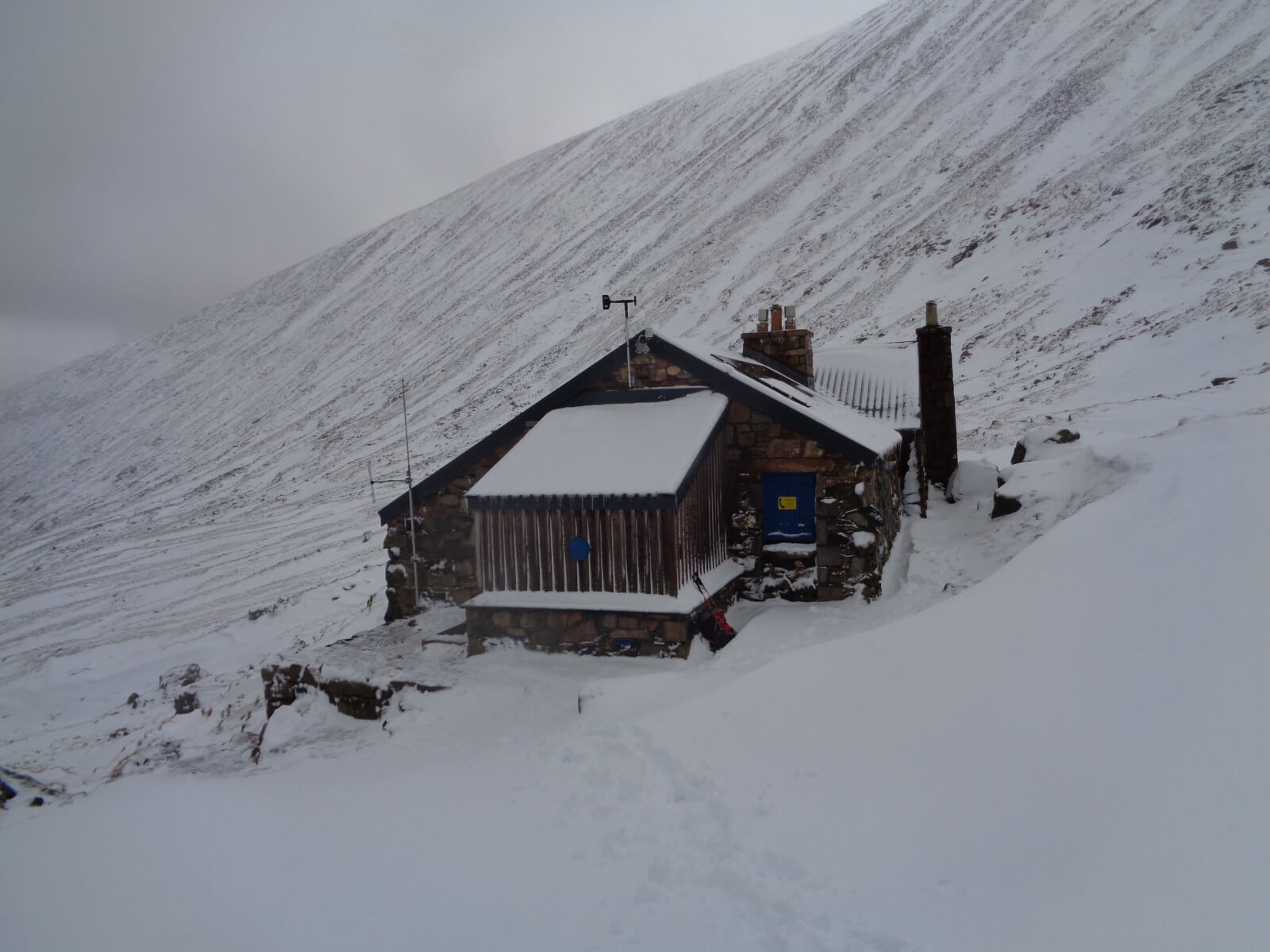
Drifts around the CIC hut at 700m. Progress was slow above this point, sinking into soft, fresh windslab.
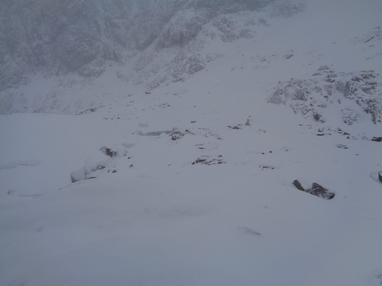
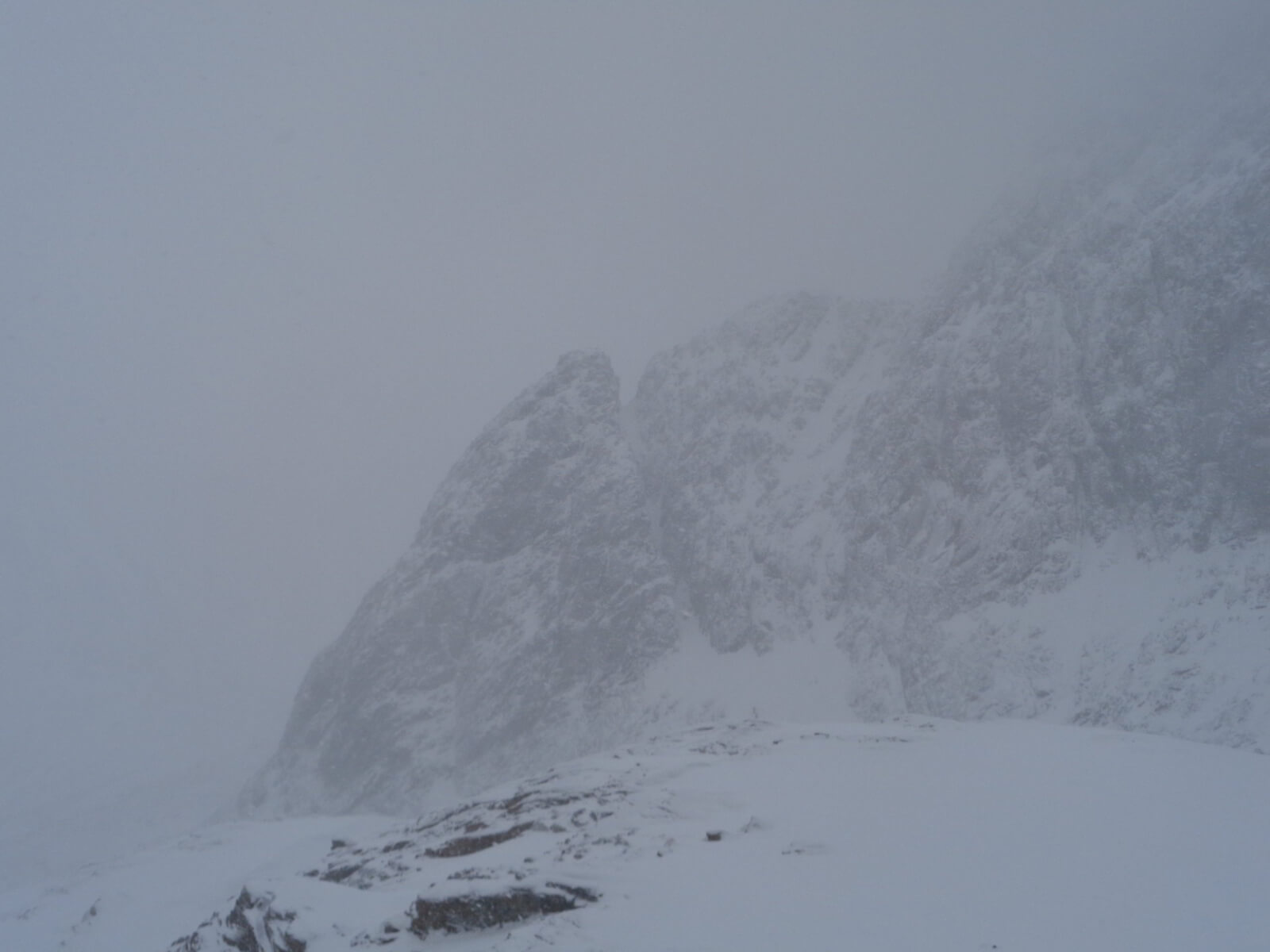
Looking across the coire floor in Coire na Ciste. The wee lochain just visible in the centre of the photo as a dark grey shading. Altitude 900m. Lots of drifting snow here.
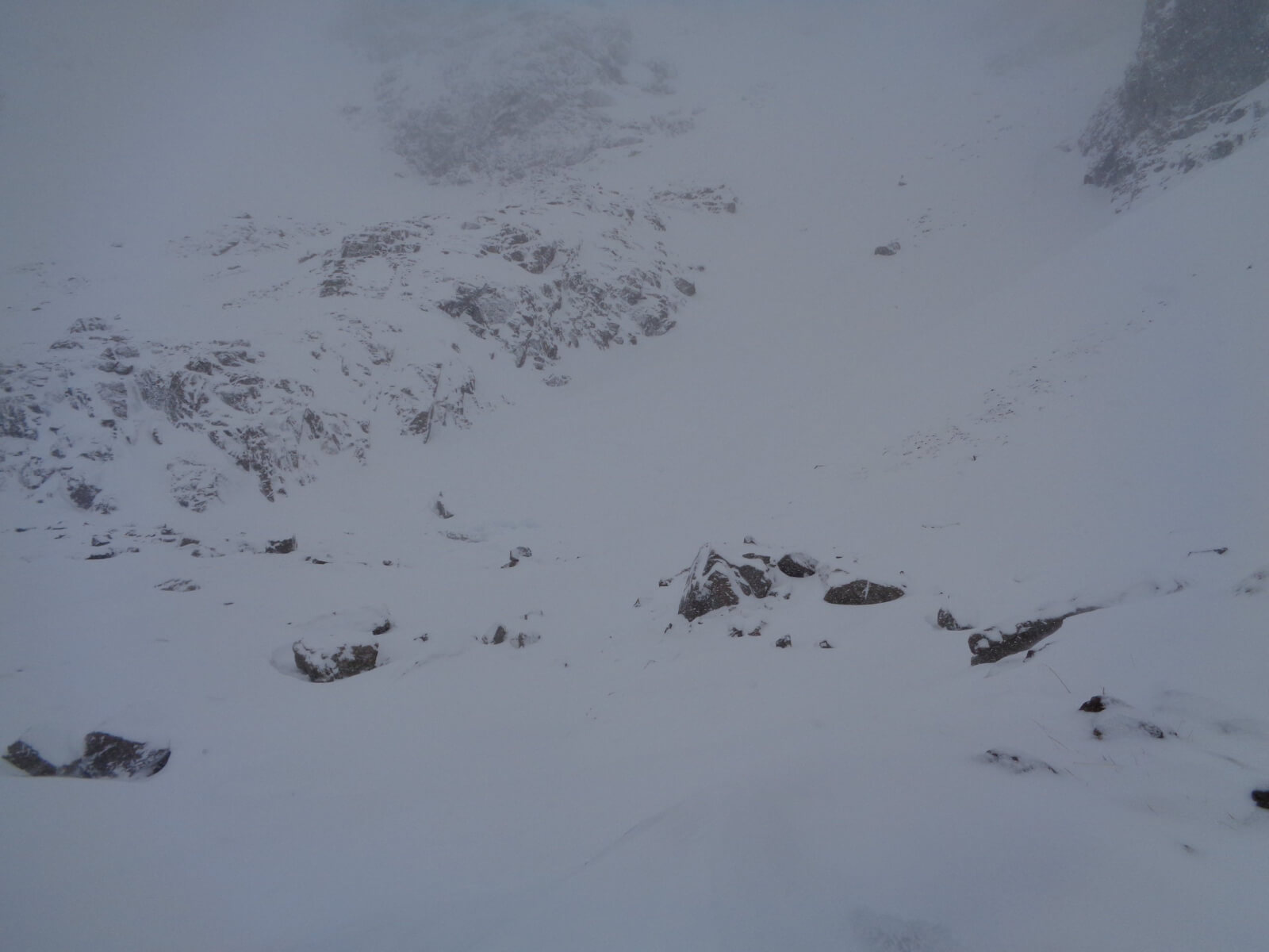
Looking across to the snow apron (slopes) below No 4 gully. There was evidence here of historical avalanche debris probably from a couple of days ago during the big thaw event.
Looking across to the West aspect of Douglas Boulder and the lower section of Tower Ridge.
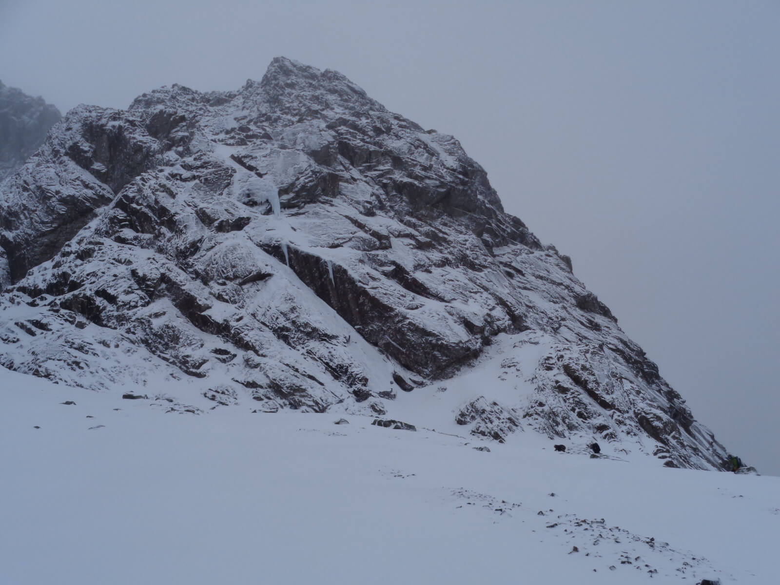
South-East aspect of the lower buttress on Carn Dearg. Zoom in and you can see a couple of ice ‘dribbles’ where The Curtain forms.
Comments on this post
Got something to say? Leave a comment