Very Wintry on the Tops.
25th January 2026
Another day of strong South-Easterly winds, a little fresh snow, very poor visibility and a freezing level of around 900 metres. Although there have been slight variations day to day, this has been the overall pattern for a while now. There is currently very little snow at 600 metres or below. However, above about 800 metres cover is generally pretty good. In many locations exposed to the strong winds, the snowpack is scoured down to the very hard icy layer caused by the thaw a few days ago. Although not extensive, there are pockets of unstable windslab about, even in generally windward facing coires caused by the wind swirling around depositing snow in sheltered nooks and crannies.
As you would expect given how cloudy and windy it has been for days everything is very heavily rimed at higher levels. This currently seems to be affecting the Met Office station on Aonach Mor and it is currently reading a bit low. For example late morning today it was reading around minus four degrees Celsius while the actual temperature was around minus two.
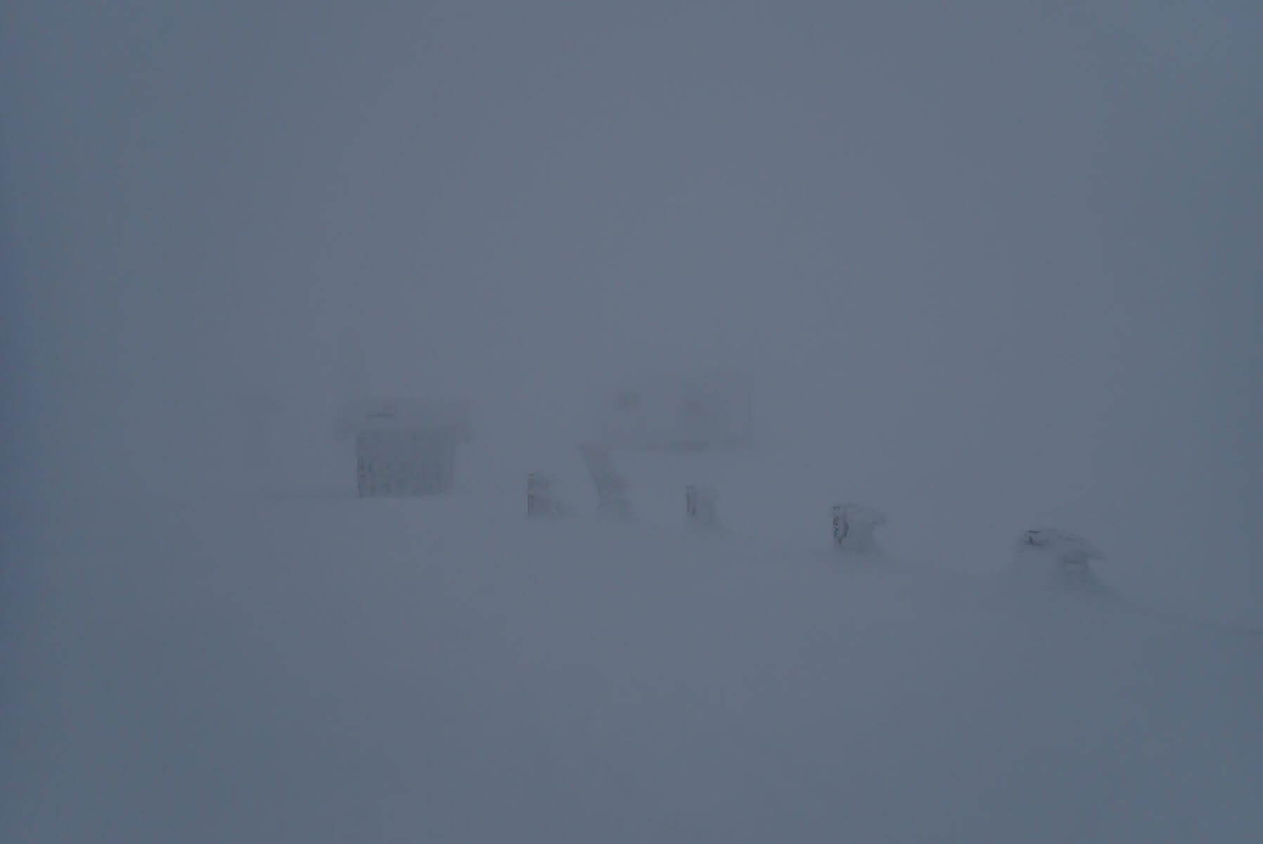
Very poor visibility and definition at 1200 metres. Good navigations skills would be required away from the ski area infrastructure.
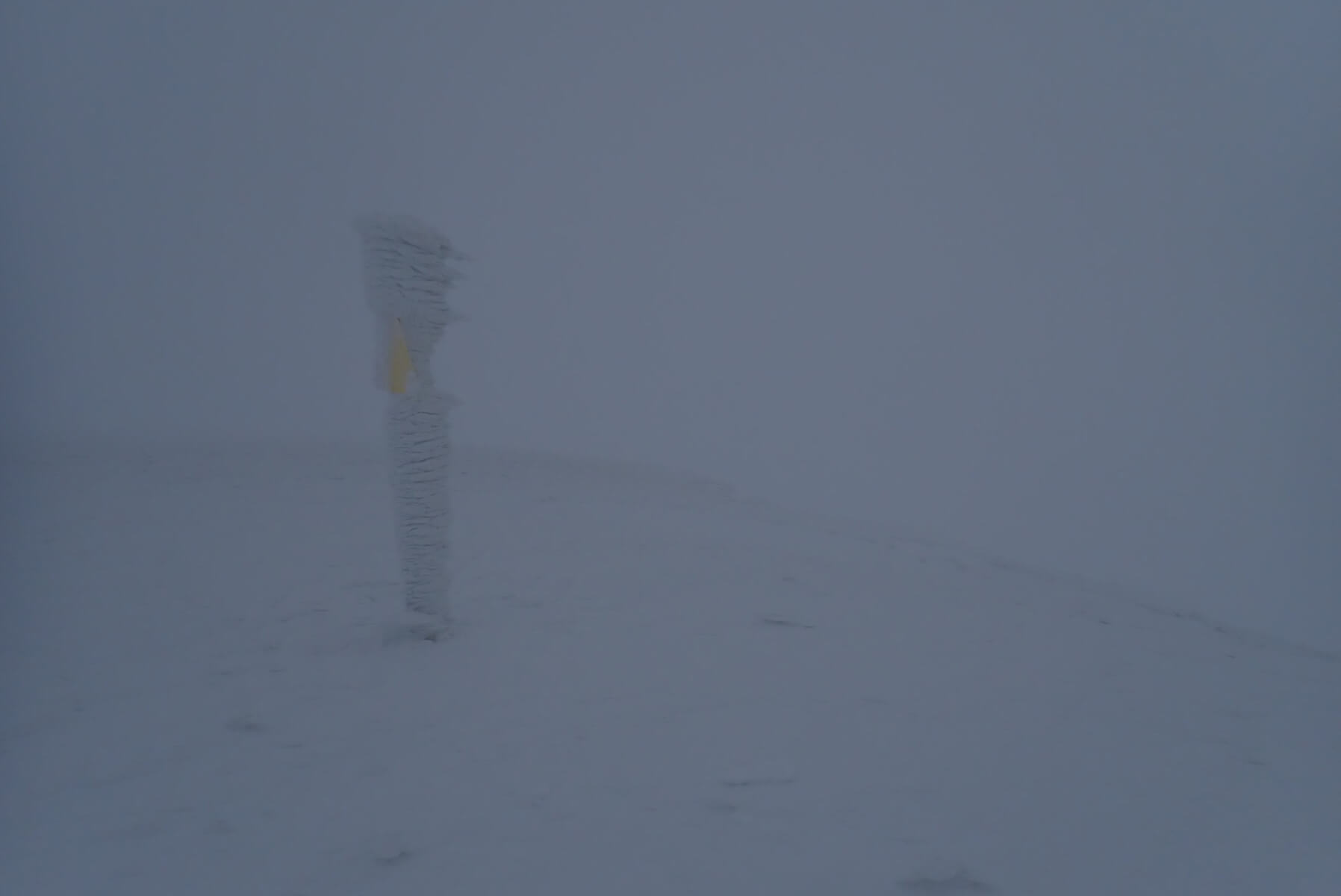
A post at the top of Coire an Lochan which like everything else at this level was covered in a good plastering of rime. Note that rime (which forms into the wind) is pointing to the right, towards the top of Coire an Lochan. The strong South-Easterly winds (based on the very little I could see) have scoured to the tops of the crags. However, lower down in the gullies and the nooks and crannies of the coire I suspect the swirling wind would have deposited pockets of windslab despite this generally being on the windward side of the mountain.
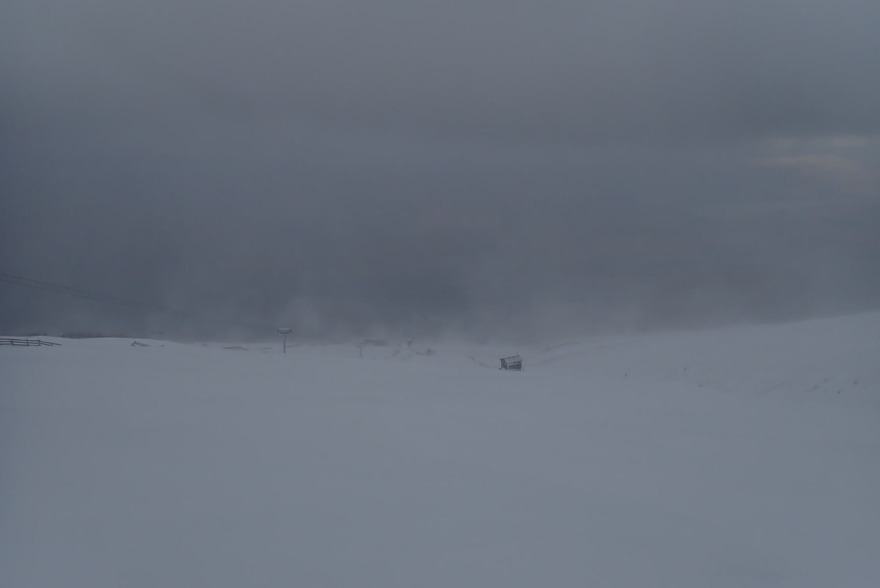
Down at 900 metres visibility was better, and plumes of snow can be seen blowing around. Although there was definitely some fresh snow fall through the day, it was hard to tell how much of the snow in the air was fresh snowfall, and how much just snow being blown around.
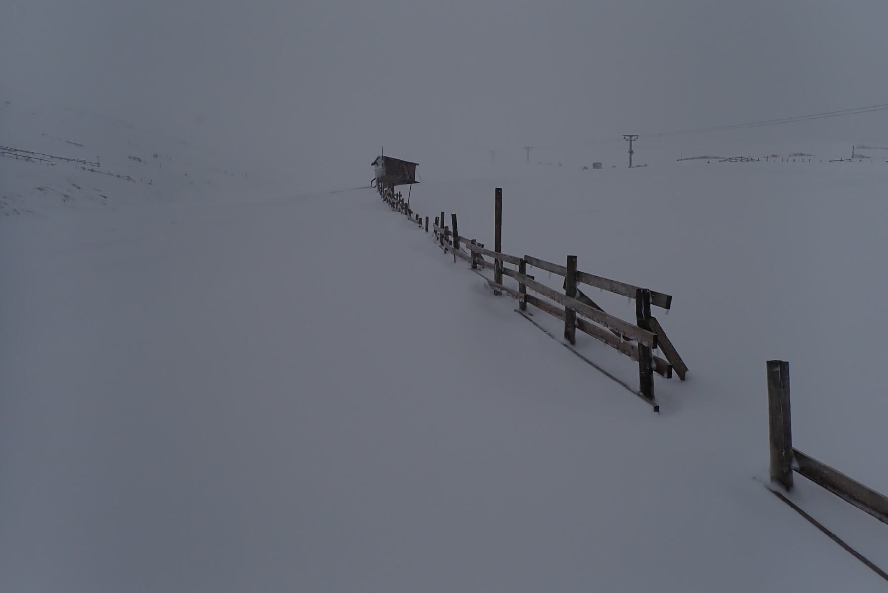
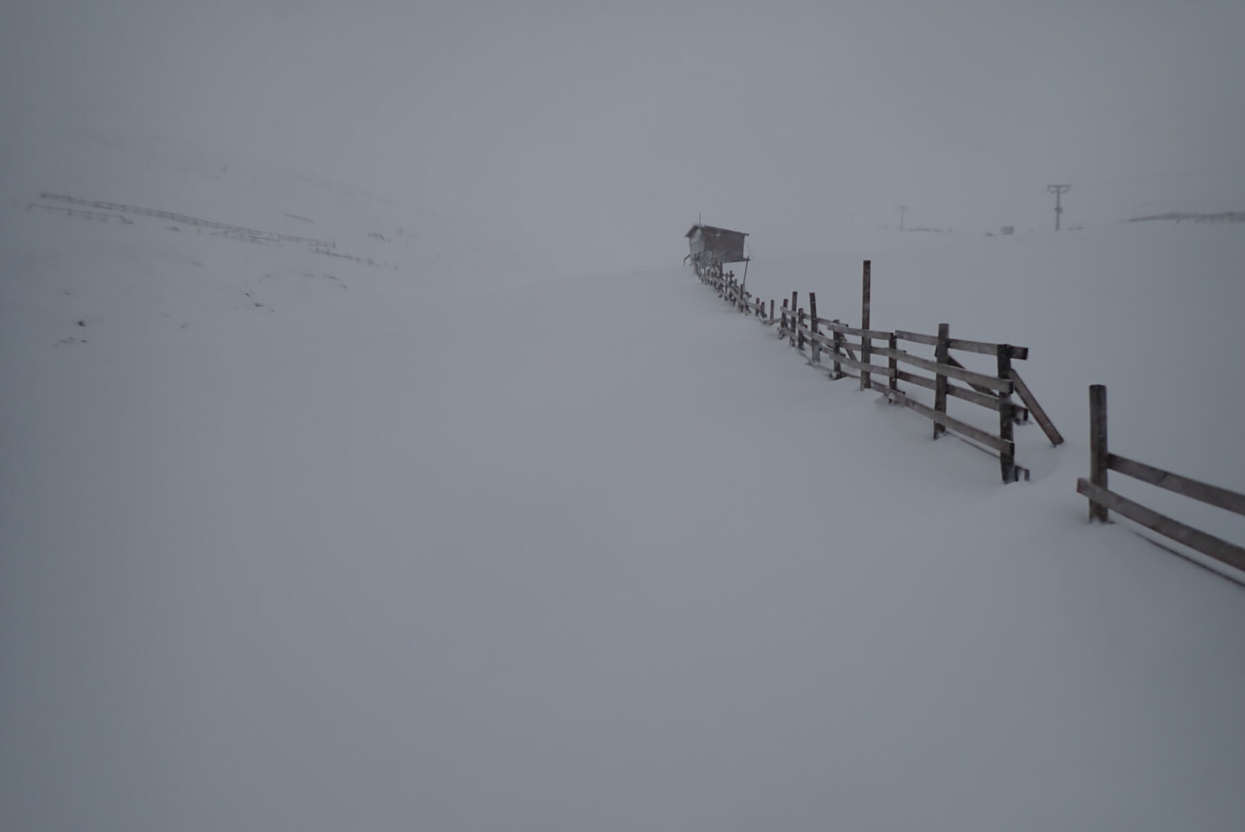
Looking up the lower section of the Goose. Compare this photo to that taken from the same location 10 days ago and shown below. The depth of the snow on the fences has increased by about one horizontal beams worth. What you can’t see is that is it much denser than 10 days ago due some thaws and an overall consolidation and densification of the snowpack at this level. Additional snow fall has then increased the depth. So overall there is probably fair bit more increase in snow amount here than just based in the small increase in depth. Above around 800 metres the amount of snow has been steadily increasing over the past couple of week, and cover is now pretty good.
Looking up the Lower Goose on the 15th of January. Posted to compare snow amounts to that observed today.
Comments on this post
Got something to say? Leave a comment