The Tops of the Gullies
2nd January 2026
Overnight fresh snow fell down to sea level. Below about 1000 metres on Aonach Mor this fell with little wind giving a fairly uniform covering of soft fluffy snow. Above this level it had drifted in the North Westerly wind, and in some locations there was a substantial depth of fresh snow. However, these deep (and not very well bonded) deposits tended to be quite localised. For example in one location I looked at near the top of Easy Gully where there had been about 40cm of soft snow yesterday, there was about 170cm of fresh snow today. However, not far away there looked to be a few centimetres, or at most a few tens of centimetres of soft snow sitting on bare ground.
Currently the areas of unstable snow tend to be localised to a few specific locations and that is why (after a bit of discussion with other forecasters) a Moderate avalanche hazard was issued instead of a Considerable hazard. Those locations are the top of the higher gullies where deep, but generally not extensive, deposits of fresh snow sit on top the old hard windslab. However, these gullies tend to see quite a lot of traffic, whether that be people climbing them as easier routes, or descending to access, or return from, doing a harder buttress route. If you are heading out in the next few days, be wary in or around the top 50 metres of the higher gullies.
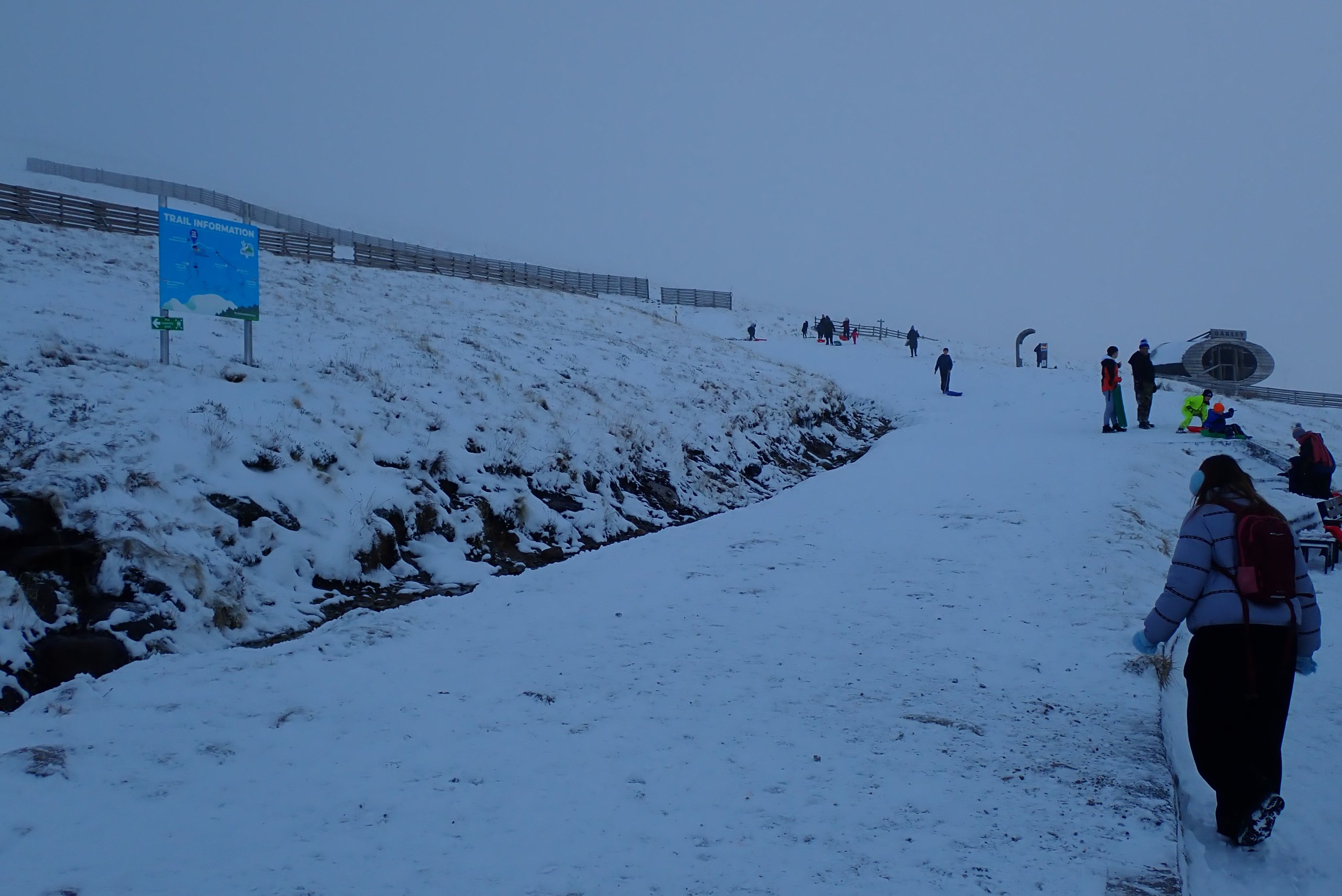
The view outside the gondola station. Compare to the photo on yesterday blog taken from a similar spot. At this altitude (about 650 metres) it has gone from essentially nothing to a few centimetres overnight. Plenty of sledgers out today.
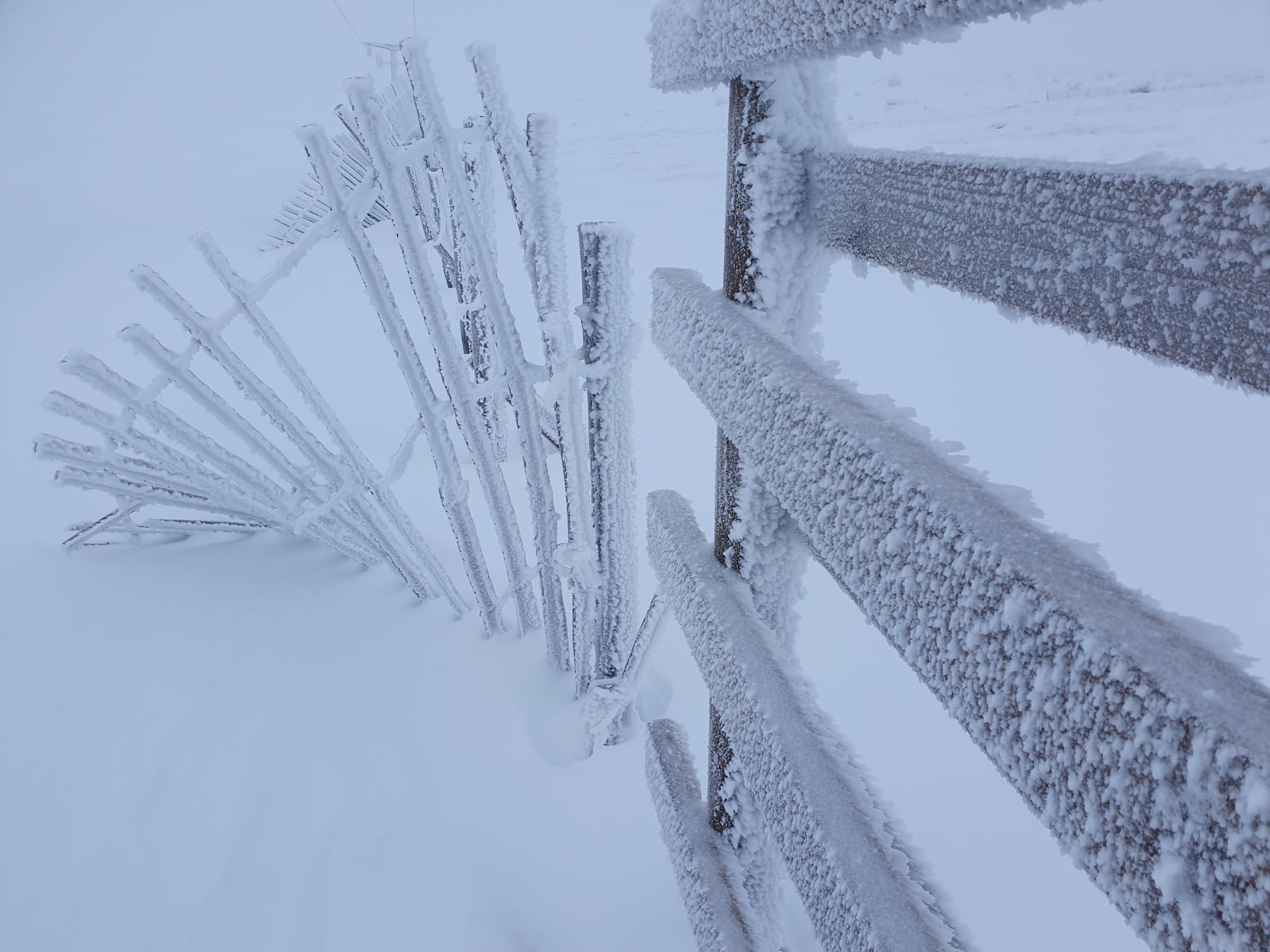
Things were riming up rapidly in the cloudy conditions.
Fresh snow at 1000 metres. This area had no snow on it a couple of days ago. It is a good example of the current situation where there is often deep drifts of poorly bonded snow while a few metres either side there is just a dusting of fresh snow.
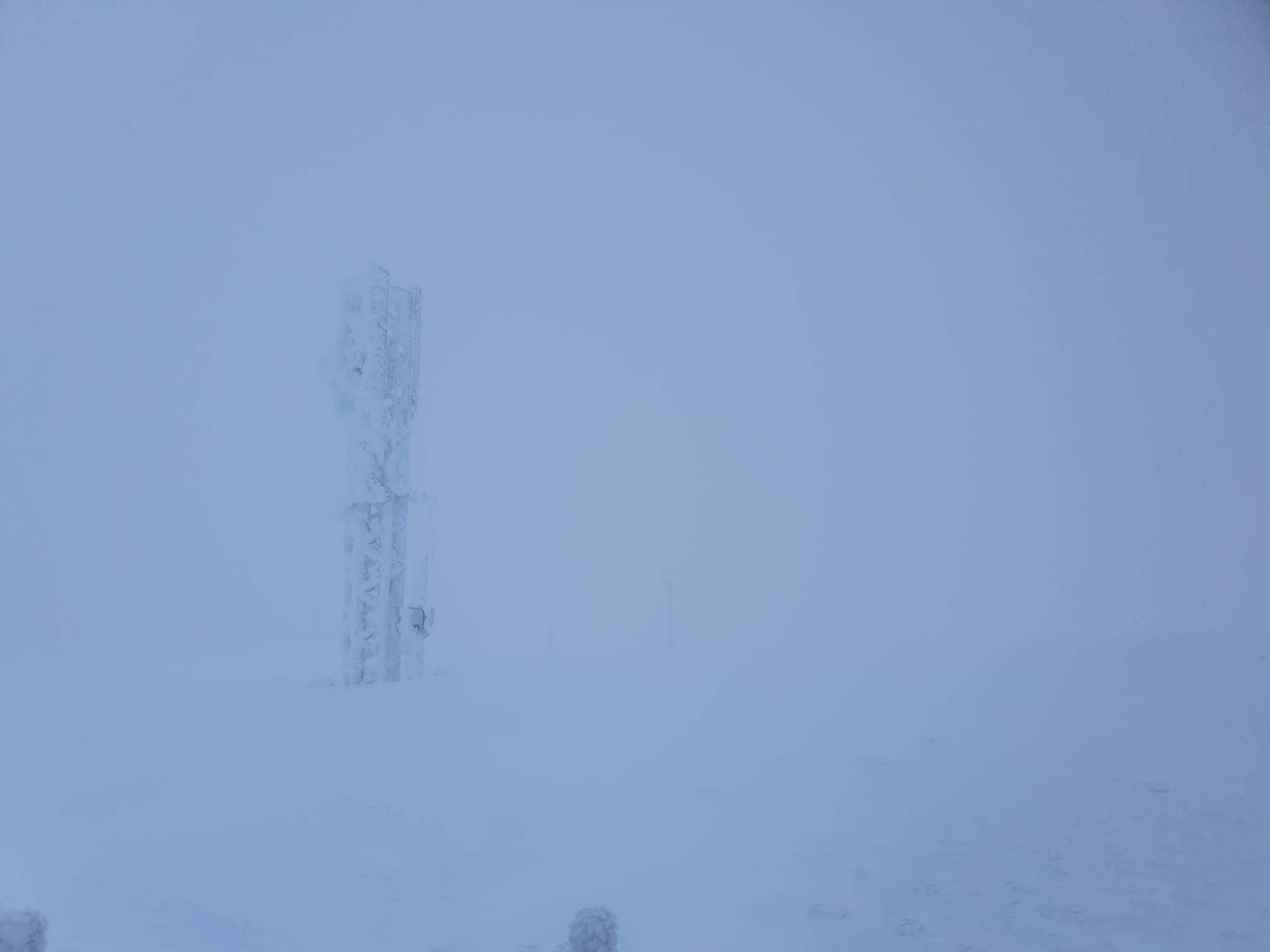
The view at 1200 metre. All very white with any objects, such as the mobile phone mast, being plastered in a thick layer of rime.
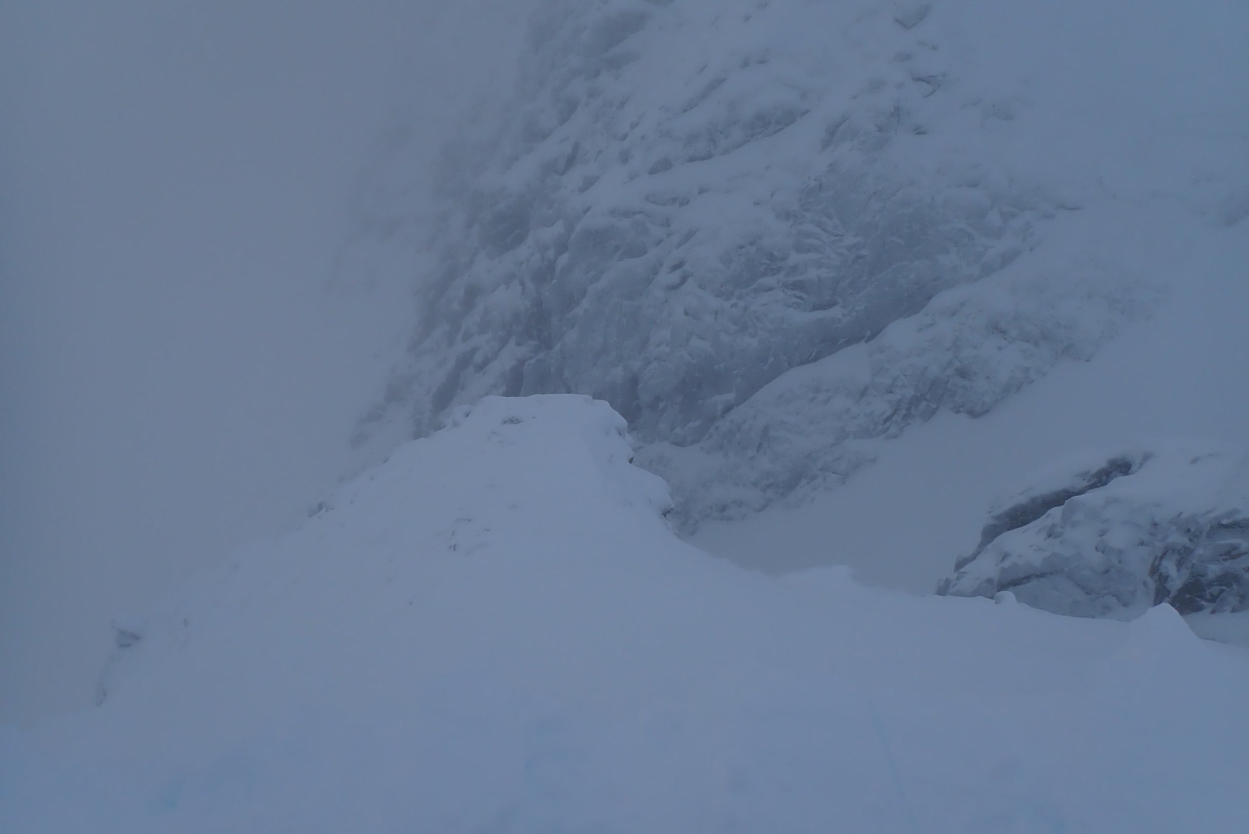
Looking down onto the rib at the south side of Easy Gully. The location that the photo was taken from had 40cm of snow yesterday, there was 170cm today. However, not that far down the slope of the rib you can make out rocks sticking through the snowpack.
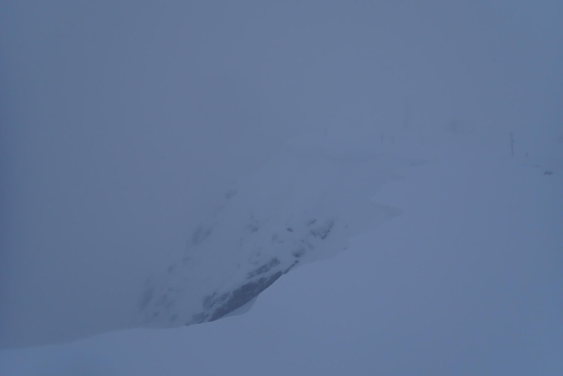
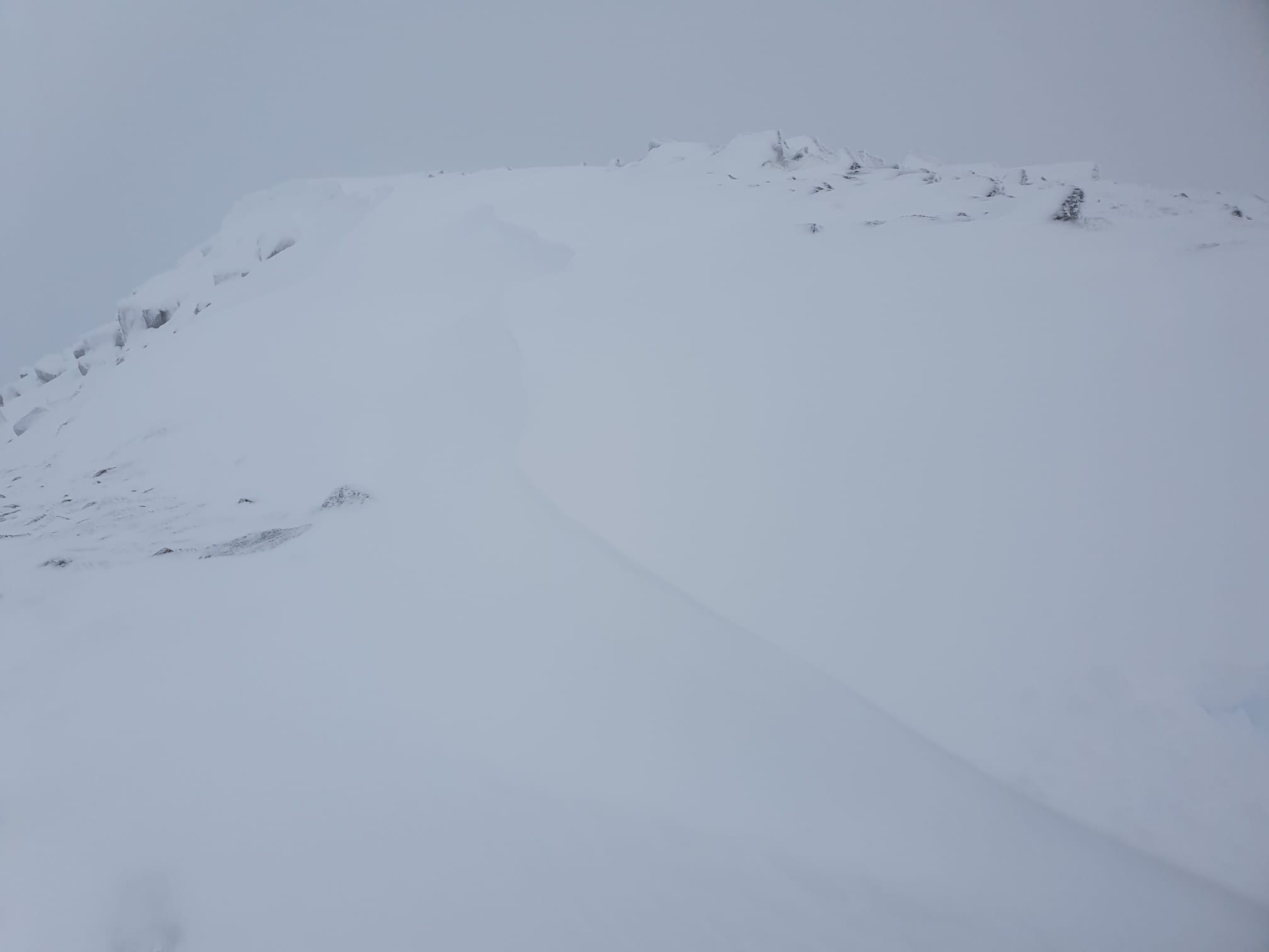
Another poor visibility photo, this time looking out over the top of Right Twin. A fresh unstable cornice can just about be made out running up and right. Hard to tell how big this was, but from the feel on the snowpack in general, I am quite confident that it was not very stable.
Comments on this post
Got something to say? Leave a comment