Thawing
11th January 2026
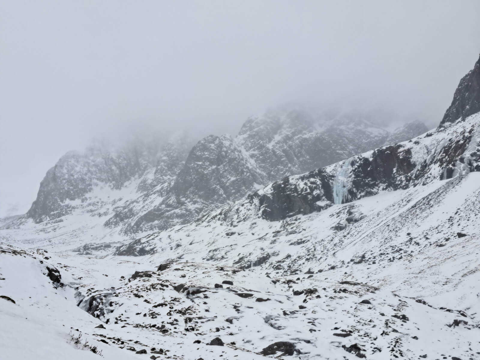
The freezing level rose to 1200 metres by midday and above the highest summits later in the afternoon. There has been a significant loss of snow at lower elevations but the mild conditions are helping to consolidate the snowpack. There were gale force winds, snow turning to rain and poor visibility on the summits.
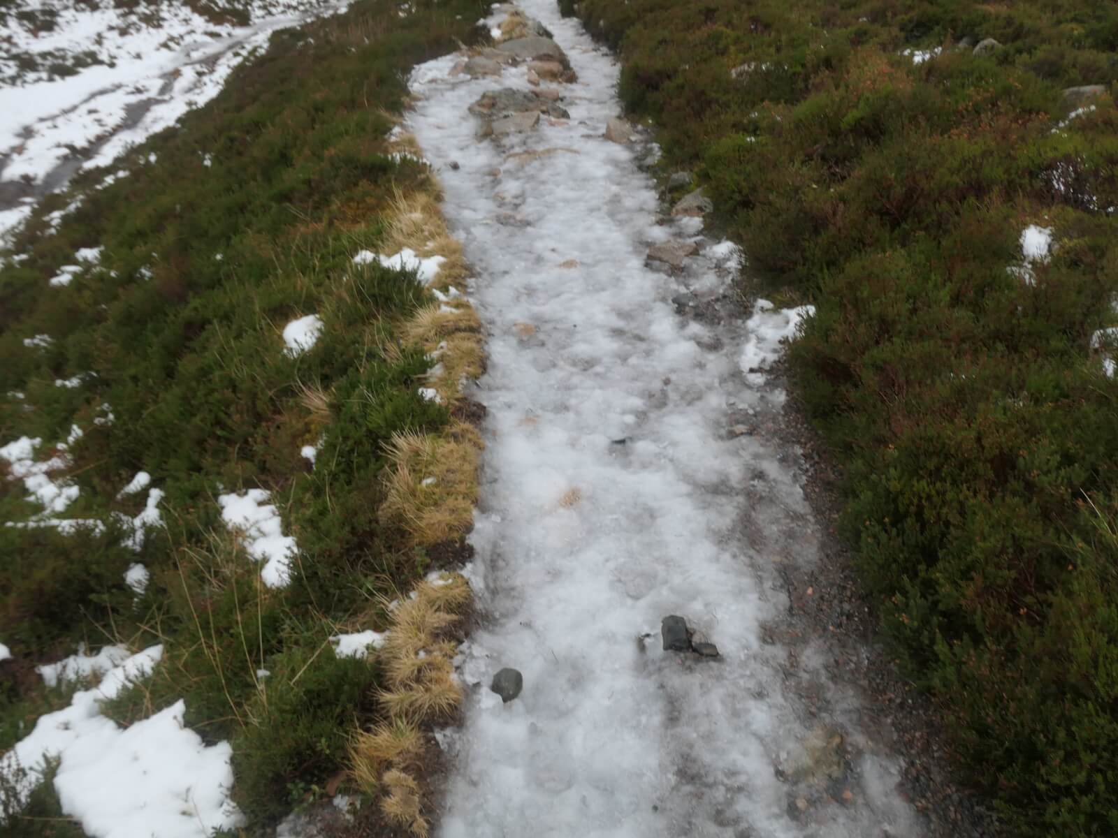
While most of the snow has gone at lower elevations ice is lasting longer giving tricky conditions on paths, tracks, and in car parks where the snow has been compacted by vehicle and foot traffic and is now a very slippery sheet of ice.
Two avalanches were observed yesterday afternoon/evening in heavy, drifting snow conditions, one natural and one human triggered. Many thanks to those who reported them. It is very useful to receive these reports and I’d like to encourage people to report any avalanches or avalanche debris that they see here. Don’t worry if you can’t fill in all the fields – some information is better than none.
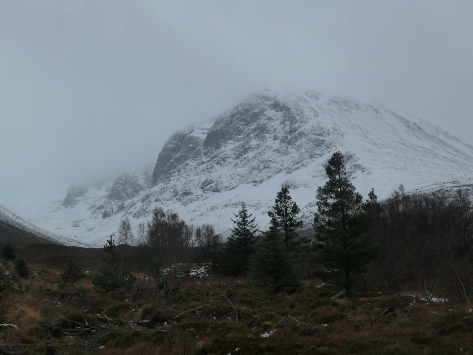
Ben Nevis.
North-East Buttress (left), Tower Ridge (centre) and ice on the CIC cascades (right).
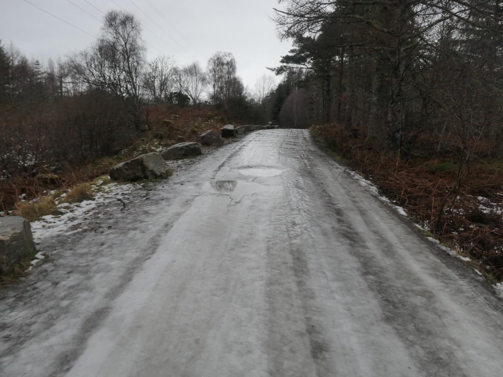
Very icy conditions at low elevetions. No traction on this with boots or winter tyres. Chains, crampons or micro-spikes needed.
Icy paths. Most people were avoiding this by walking on the grass or heather. The ice gradually turned to slush higher up.
Comments on this post
Got something to say? Leave a comment