Strong winds
23rd January 2026
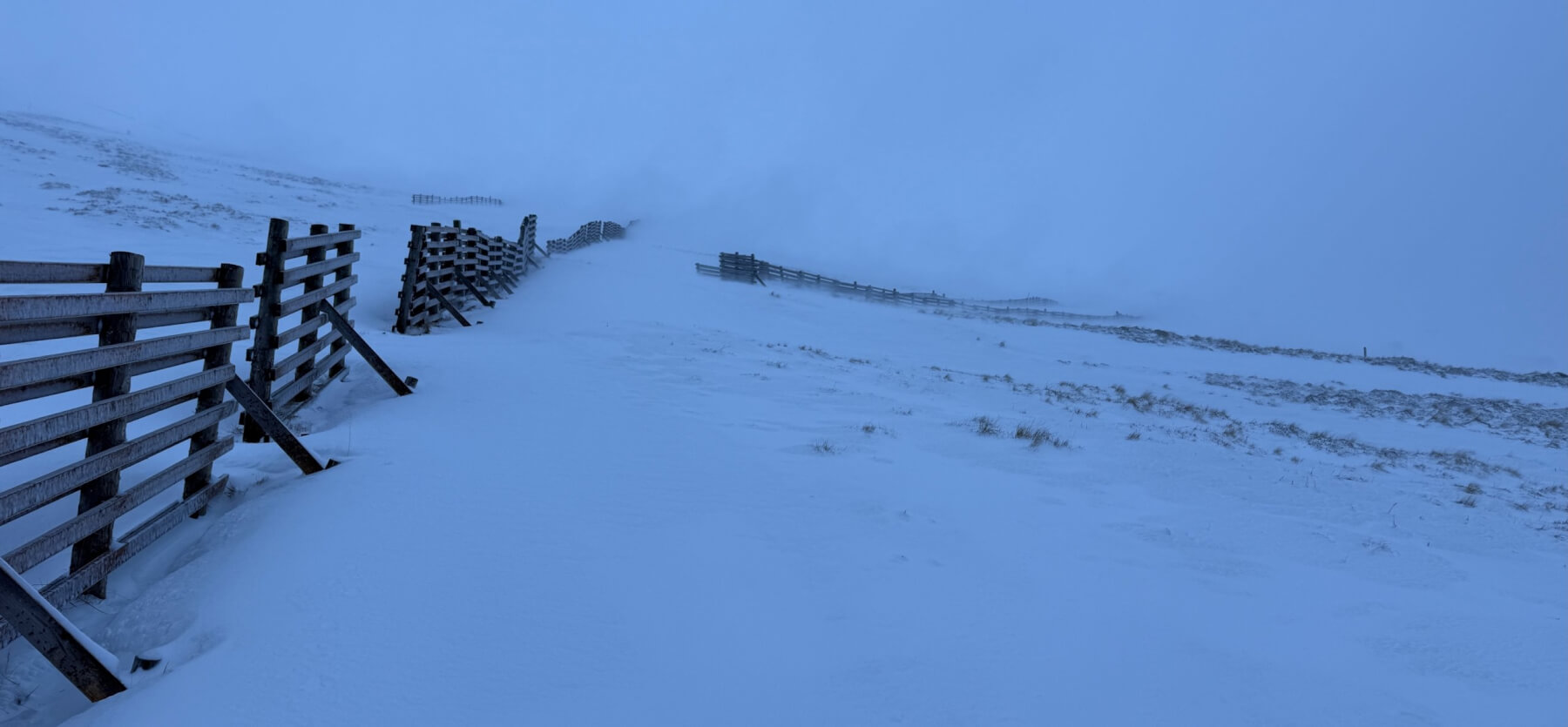
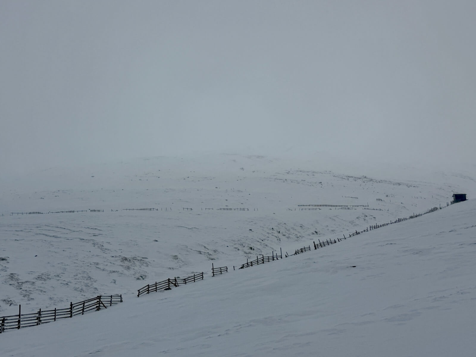
Very strong winds were the main feature of today, particularly strong gusts which although mainly East-South-Easterly were often variable with some gusts from other directions. Significantly less snow fell than was forecast and the freezing level rose through the day to around 900 metres, visibility was poor for most of the day. Given the variable wind gusts while most windslab deposits will be on South-west through West to North aspects more isolated pockets are possible on any aspect. A similar situation for tomorrow with further snow showers and strong East-South-East winds forecast. The older snowpack is well bonded and frozen. Visibility limited photos today.
Snow drifting on Strong East-South-East winds
A west aspect with less snow than expected, less snow fell overnight than was forecast.
A North-West aspect at around 900 metres. There was a localised wind effect here and some gusts were from the West.
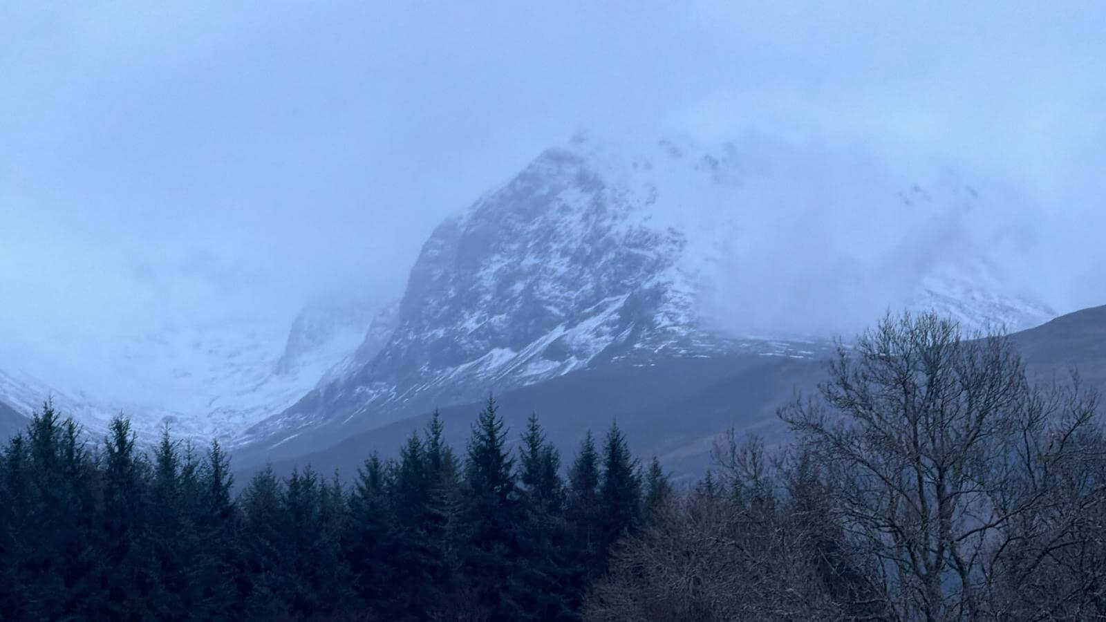
Ben Nevis
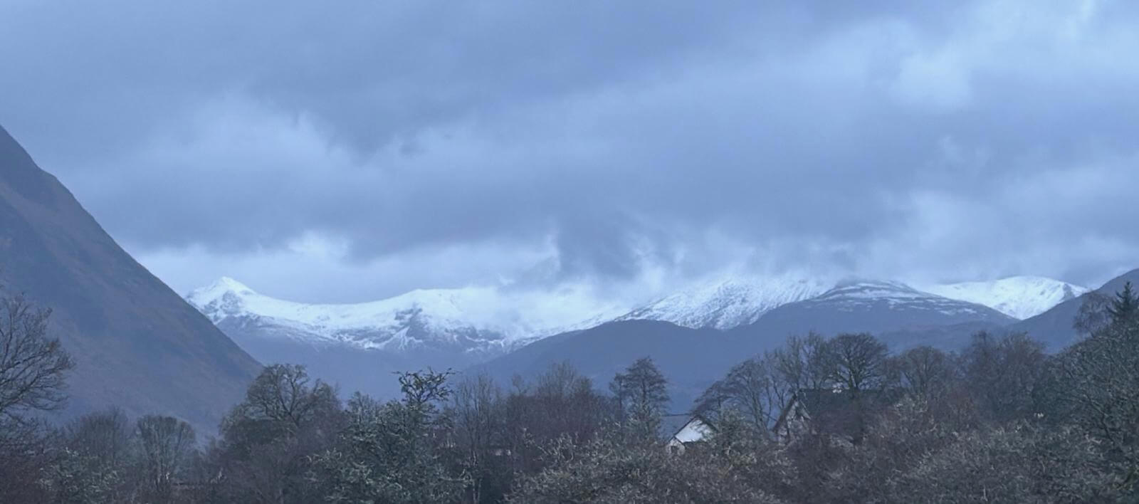
Looking into the Mamores, Stob Ban visible on the left Mullach nan Coirean in the clouds on the right.
Comments on this post
Got something to say? Leave a comment