Still Lots of Snow
16th January 2026
Little had changed from yesterday with lots of fresh soft snow and at higher elevations, moderately and poorly bonded windslab on many aspects. Whilst it has remained mainly dry overnight and through the day, the strong Southerly winds were notably redistributing snow, with temporary whiteout conditions, building on the already unstable snowpack above 1000 metres and with variable winds cross loading around the gullies, cories and buttress’s, North-West through North to South-East aspects were all being affected. Cornices were fragile with collapsed debris witnessed in Observatory Gully.
The freezing level has crept up through the day to around 1000 metres by evening which continues overnight and through tomorrow. Whilst the snowpack below the freezing level is expected to become increasingly moist and consolidated, with a reducing hazard through tomorrow, the snowpack at higher elevations will remain unstable on affected aspects with little change to the hazard.
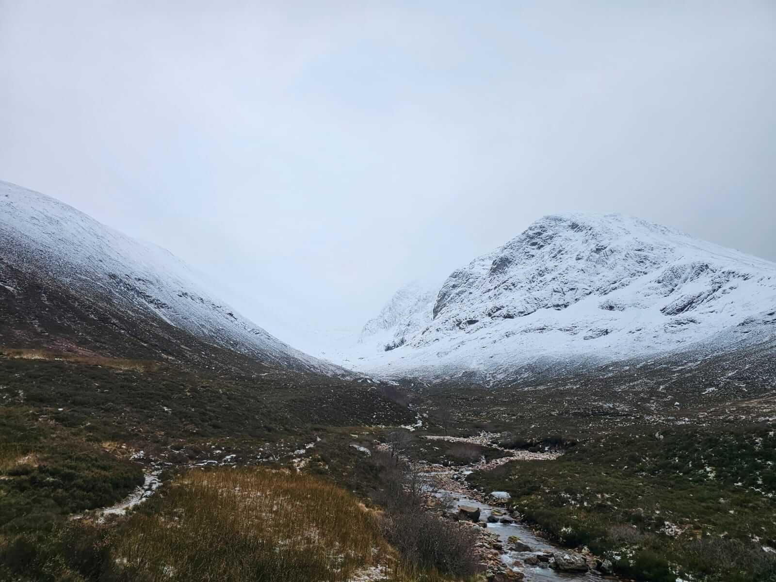
A clear snowline with obviously large accumulations. Cold last night, an icy path walking in.
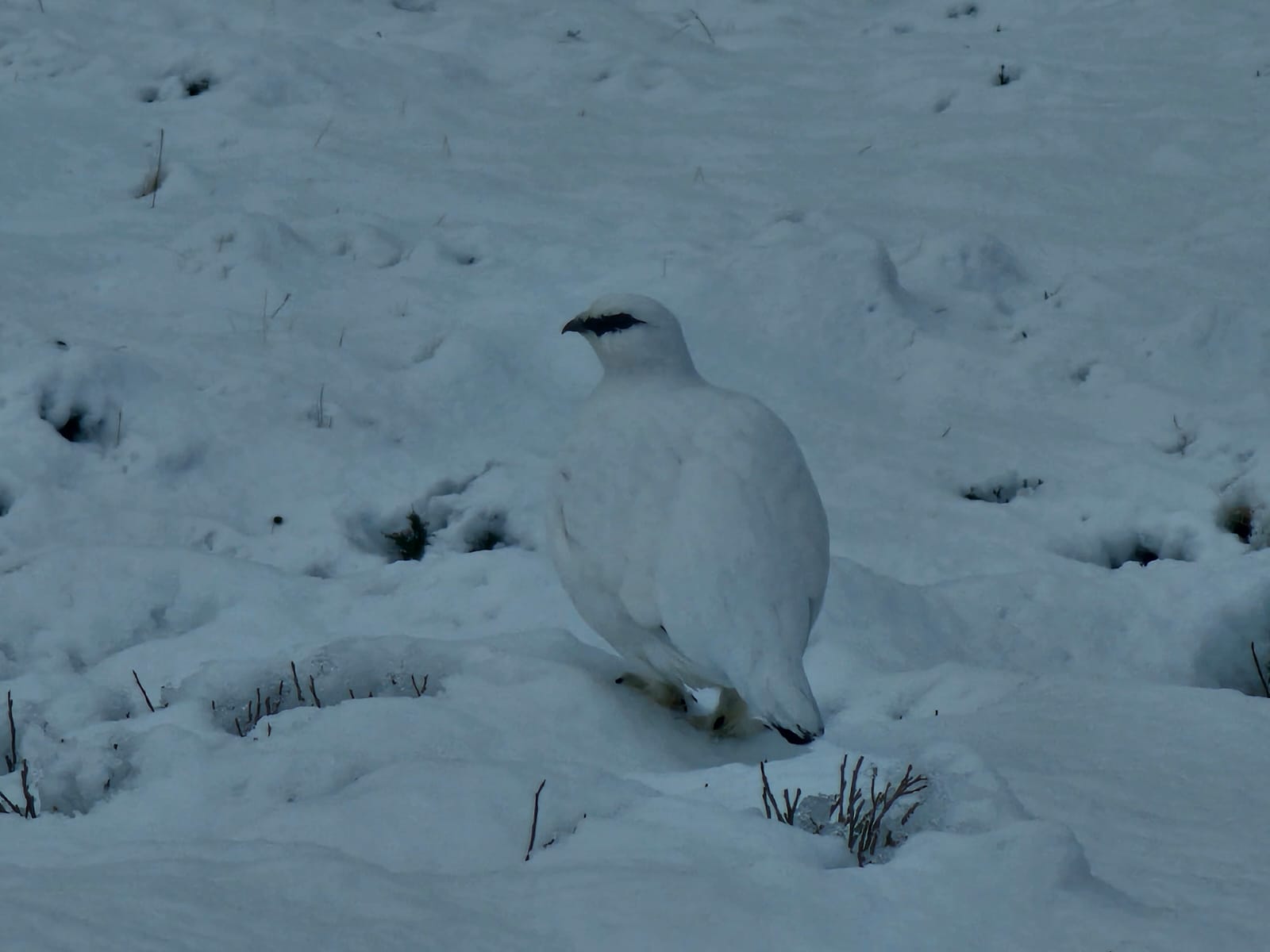
One of the locals in perfect harmony with the environment just inside the snowline.
Looking up and back towards Carn Dearg Buttress, Castle Ridge behind.
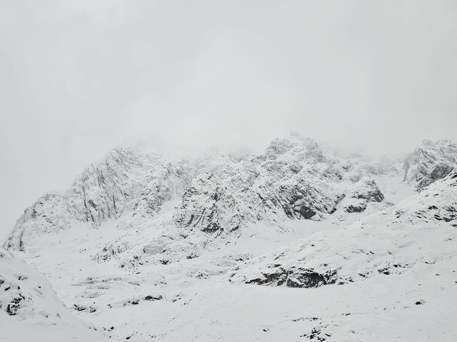
Looking towards The Orion Face, Douglas Boulder and Tower Ridge.
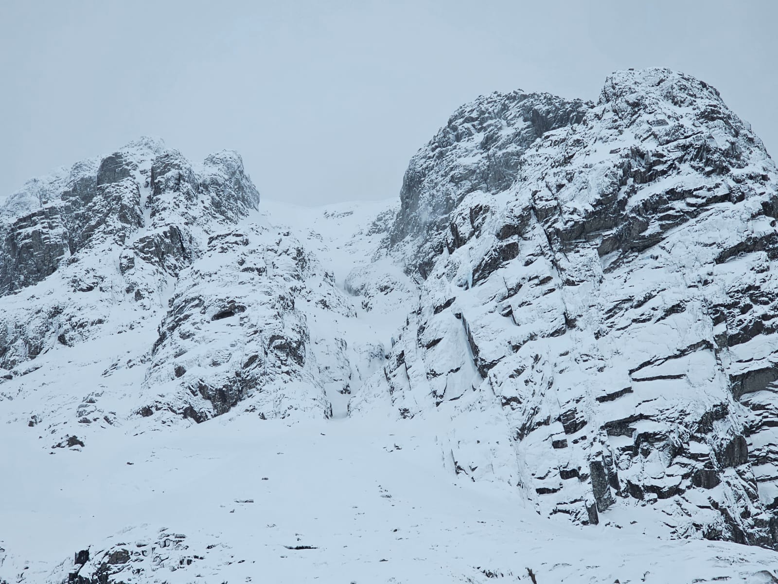
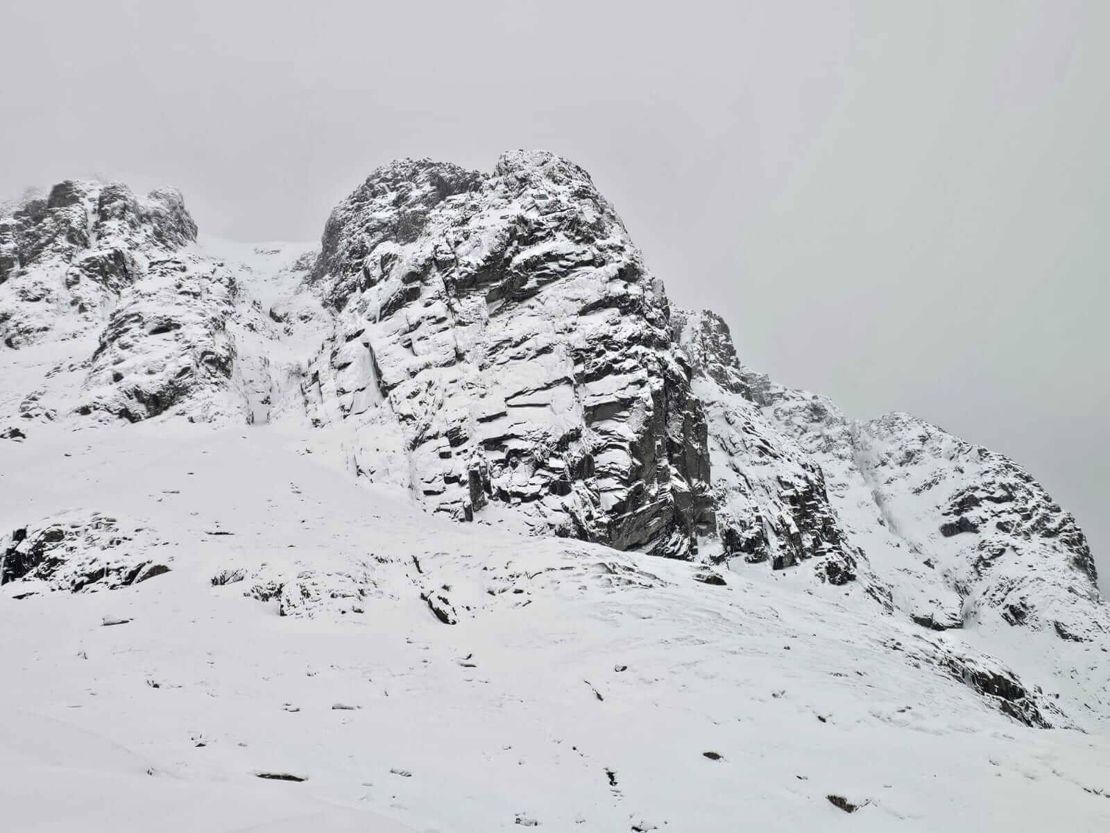
Cornices at the top of No. 5 Gully.
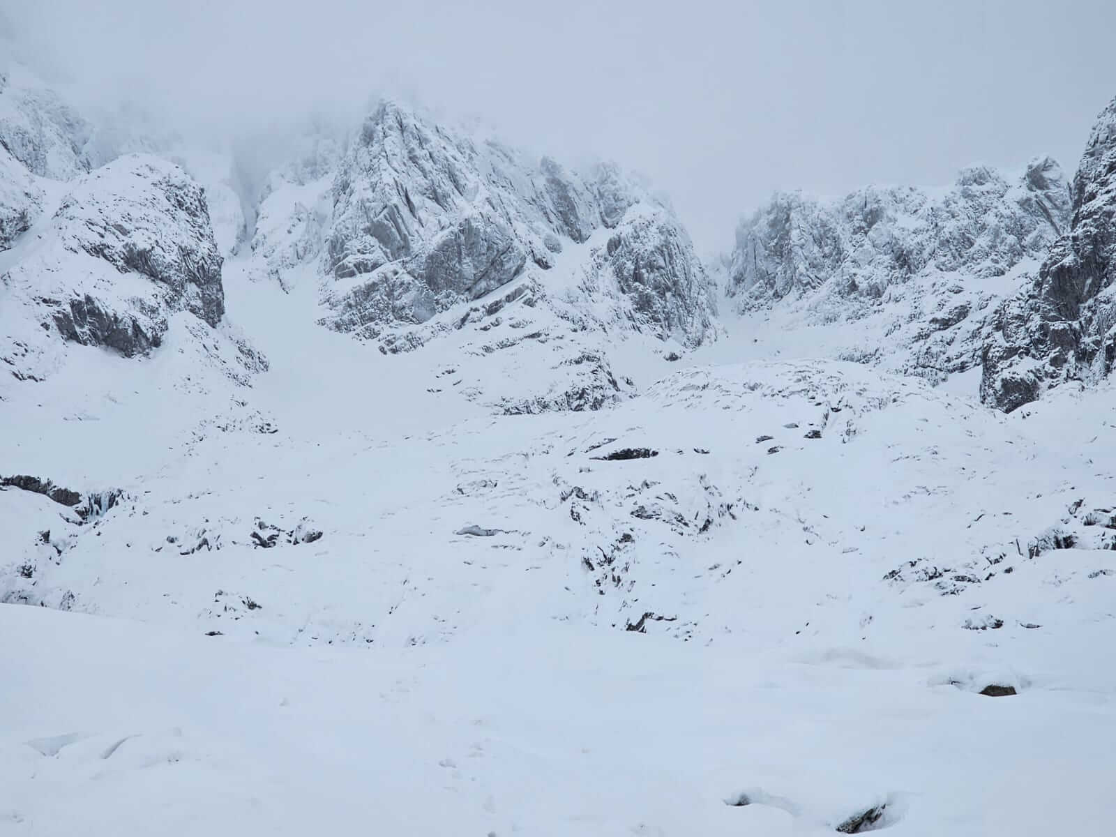
A look around Coire na Ciste. No.2 Gully, The Comb and No. 3 Gully left and centre.
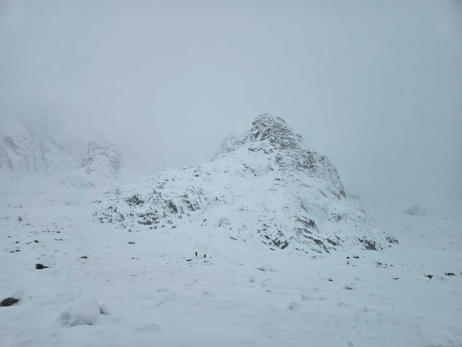
Several climbing parties choosing the Douglas Boulder today. Bottom of Observatory Gully left.
Comments on this post
Got something to say? Leave a comment