Snow
6th January 2026
While the North-West, North and North-East of Scotland have had a lot of snow over the last week Lochaber has missed much of this. Things changed today with the wind coming round to the South-West and some heavier snow falling. There was also significant redistribution of snow from the last week which was soft and unconsolidated in many places. The wind is forecast to veer to the North-North-West this evening with further snow and redistribution so unstable windslab will be present on many aspects tomorrow. See the full forecast for further details.
The South-Westerly wind brought milder conditions with rain below around 700 metres this afternoon. It’s getting colder again tomorrow and after overnight snow it should be mainly dry during the day.
Not great conditions for photos today but a few shots of what could be seen below.
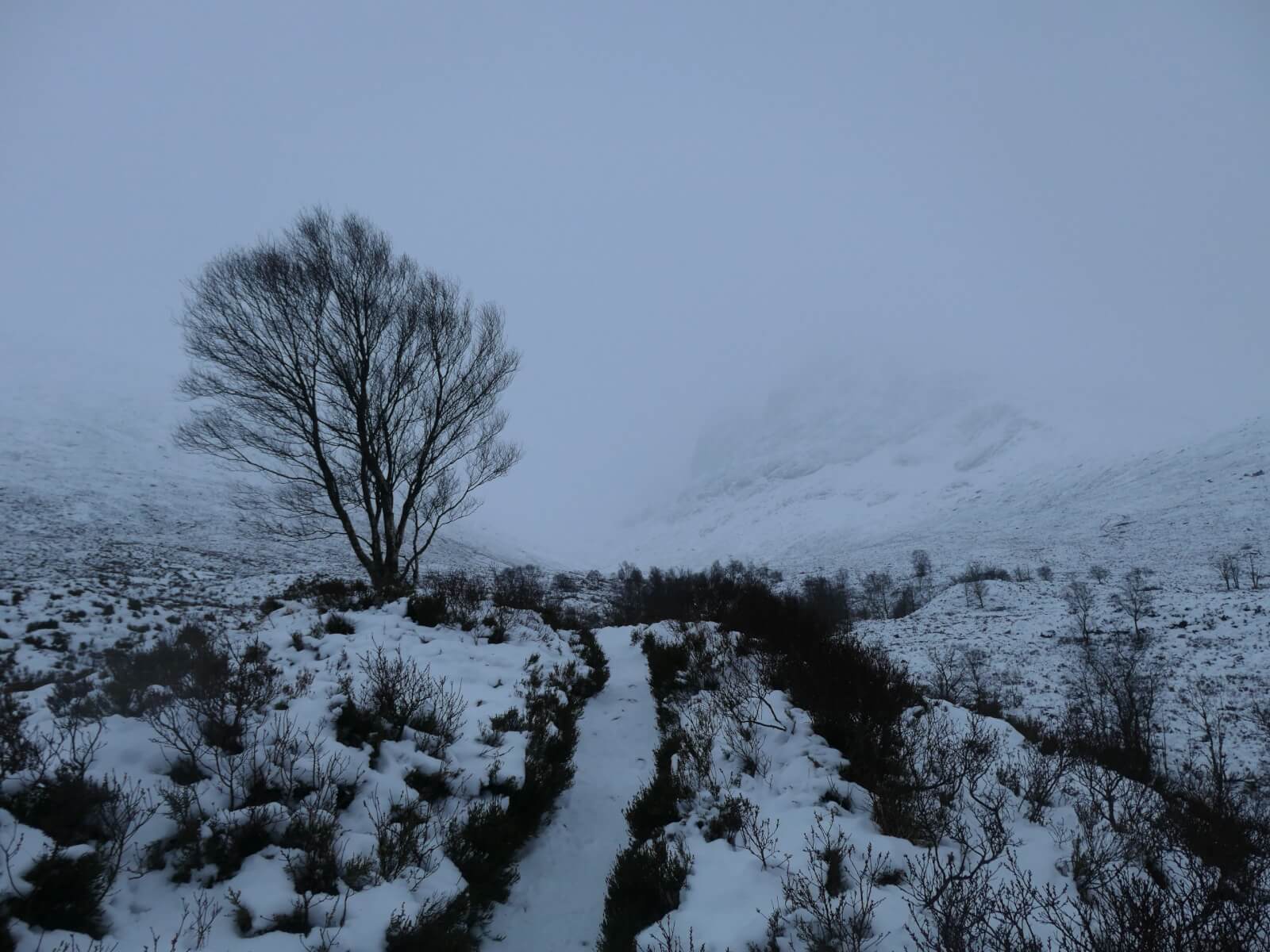
Walking in to the North face of Ben Nevis. Poor visibility today.
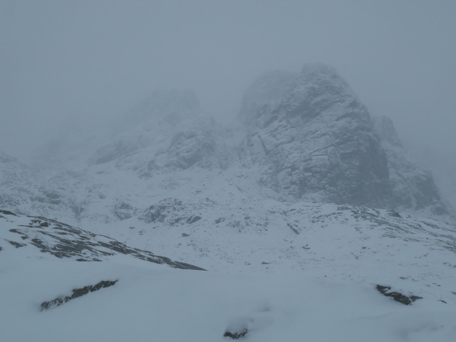
Number 5 Gully and Carn Dearg Buttress.
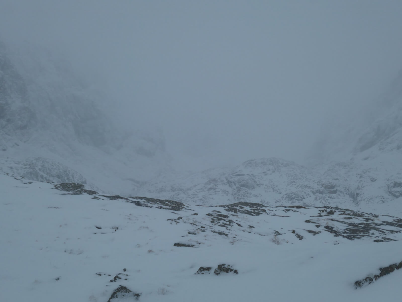
Coire na Ciste not really visible.
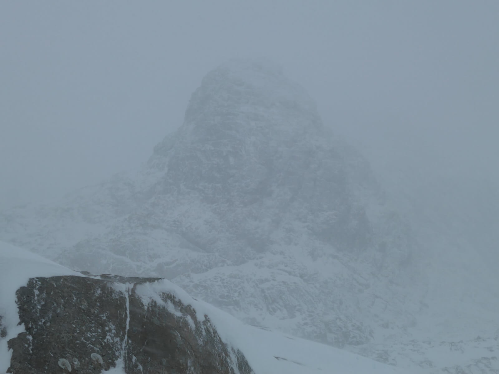
The Douglas Boulder.
The video below shows drifting at 700 metres. I’d expect a lot more of this at higher elevations.
Comments on this post
Got something to say? Leave a comment