Colder on Ben Nevis.
13th January 2026
It was a colder day today, with the freezing level around 400m. Showers through the morning fell as a snow above around 300m. The old snowpack has consolidated and is generally stable. New unstable windslab is being deposited in wind sheltered areas mainly on NW-N-E aspects above 1000m, and this will continue overnight and during Wednesday mainly above 900m, with SE aspects also affected.
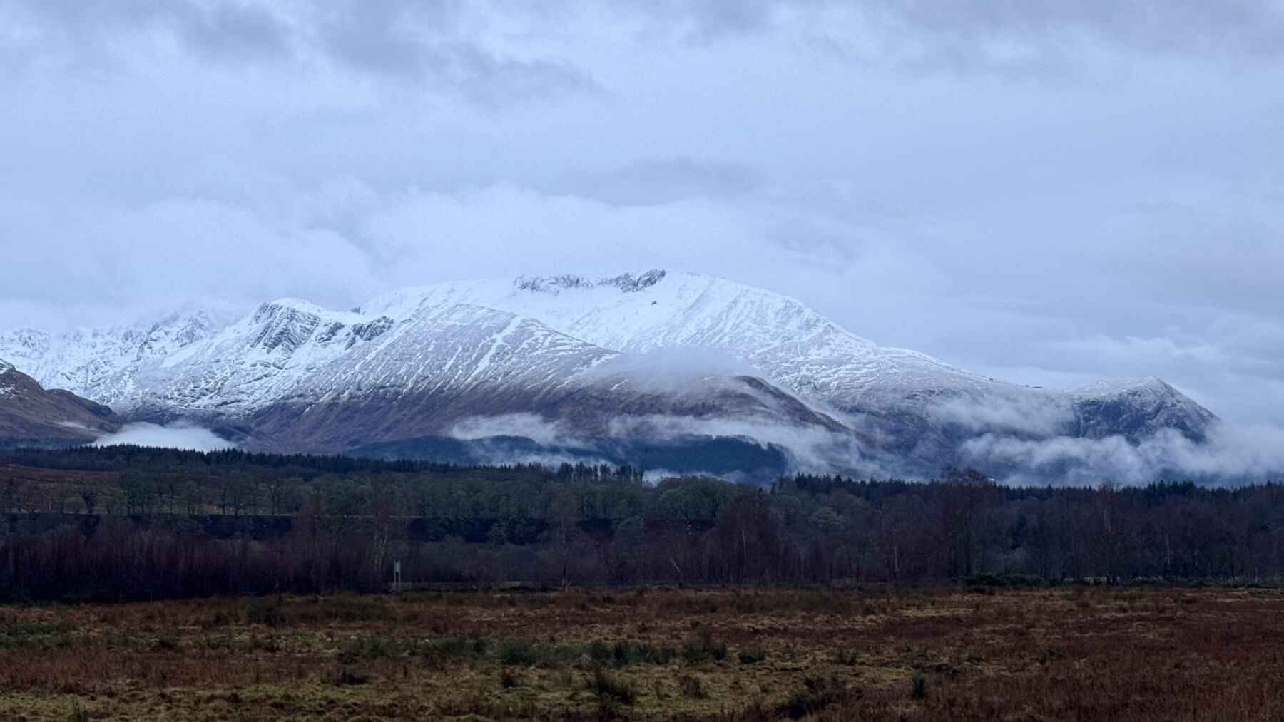
(Above) Aonach Mor East face from near Roybridge.
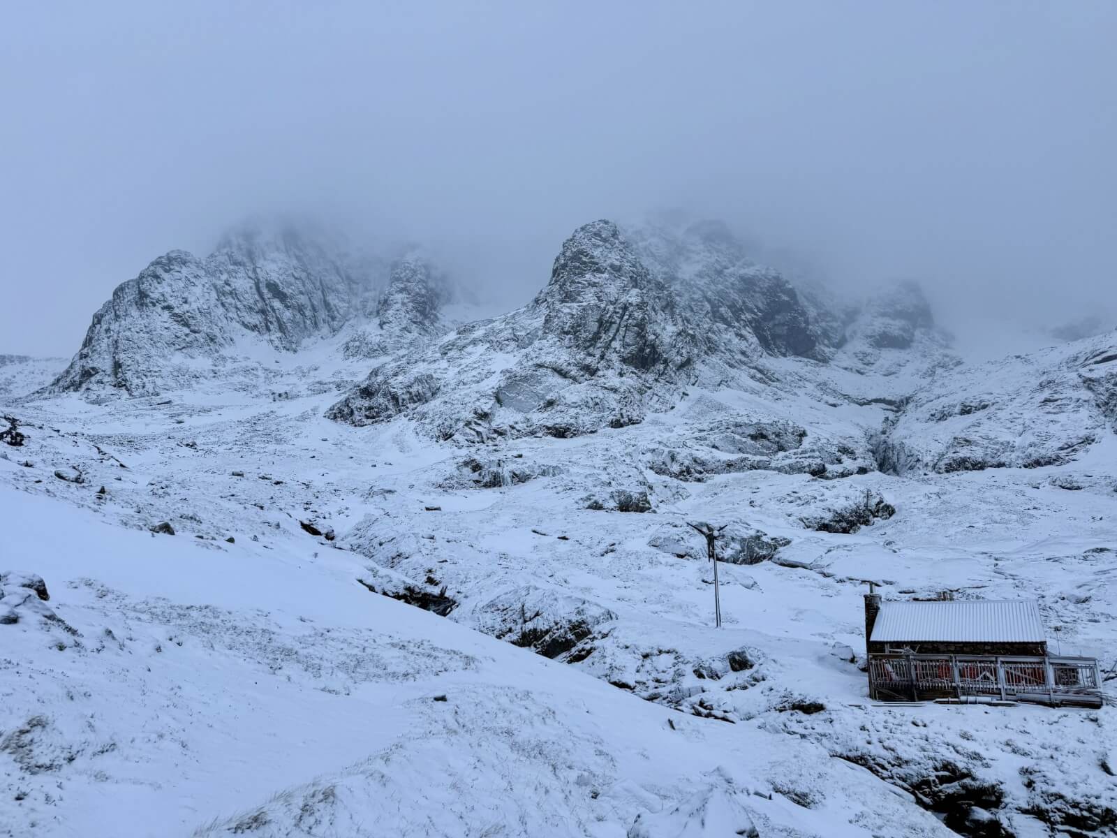
(Above) NE Buttress and Tower Ridge.
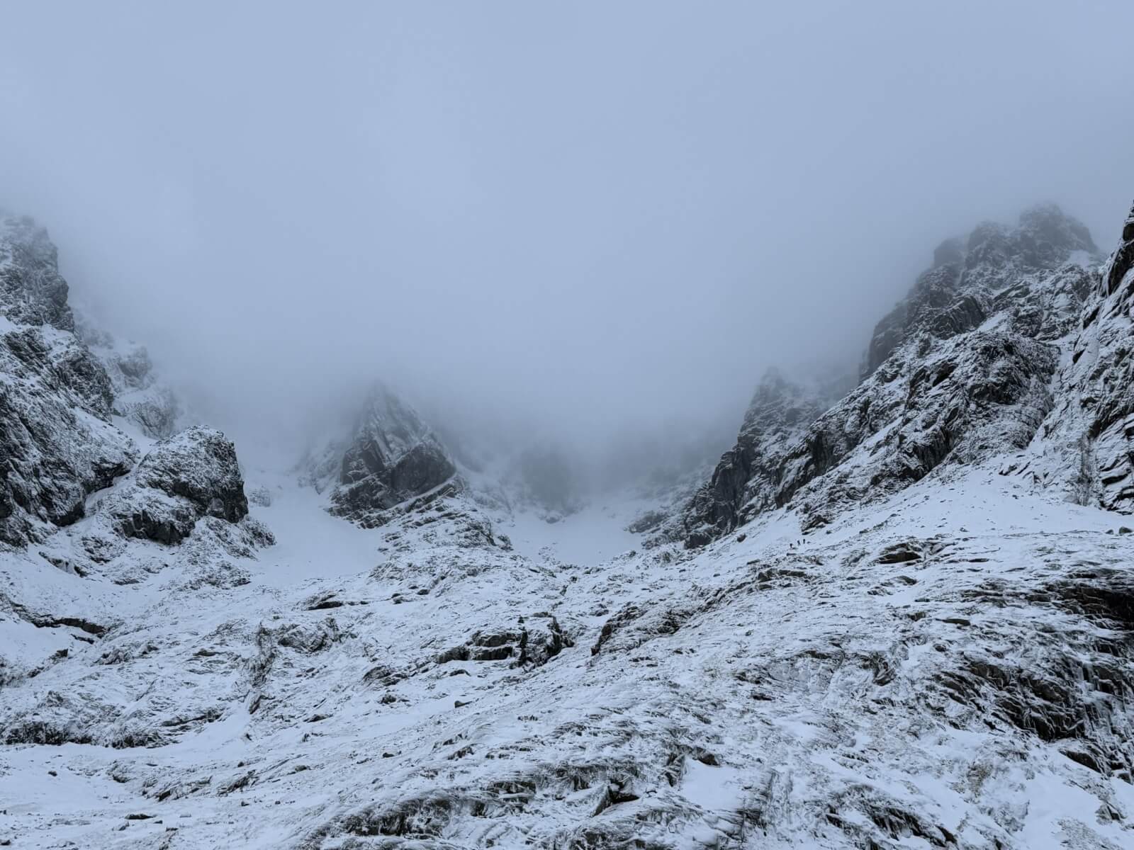
(Above) Coire na Ciste.
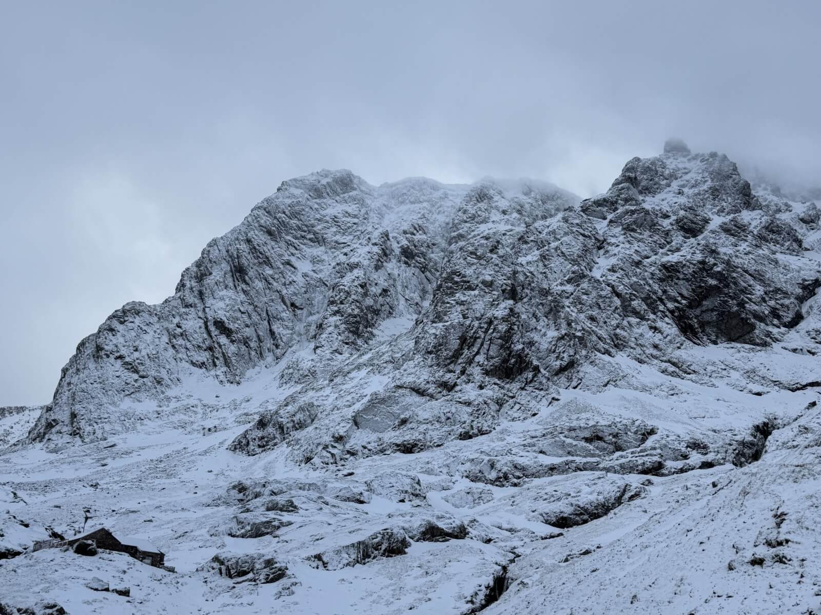
(Above) NE Buttress and Tower Ridge.
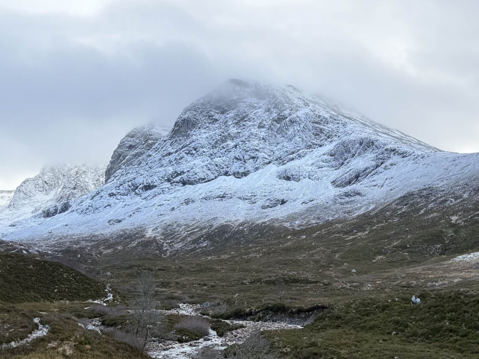
(Above) Ben Nevis above the Allt a’ Mhuilinn.
Comments on this post
Got something to say? Leave a comment