After the Storm
28th January 2026
After the wild weather of yesterday, it was a relatively benign day today. It was generally clear with a Southerly breeze. I even got a bit of a view from the top of the ski area. Looking back at previous blogs last time any of us forecaster saw anything from the top was on the 8th of January, almost three weeks ago now. Yesterday’s storm really packed the snow in in some locations such as the Goose Burn line on Aonach Mor. However, in many locations the strong winds scoured the snowpack down to an old icy melt-freeze crust.
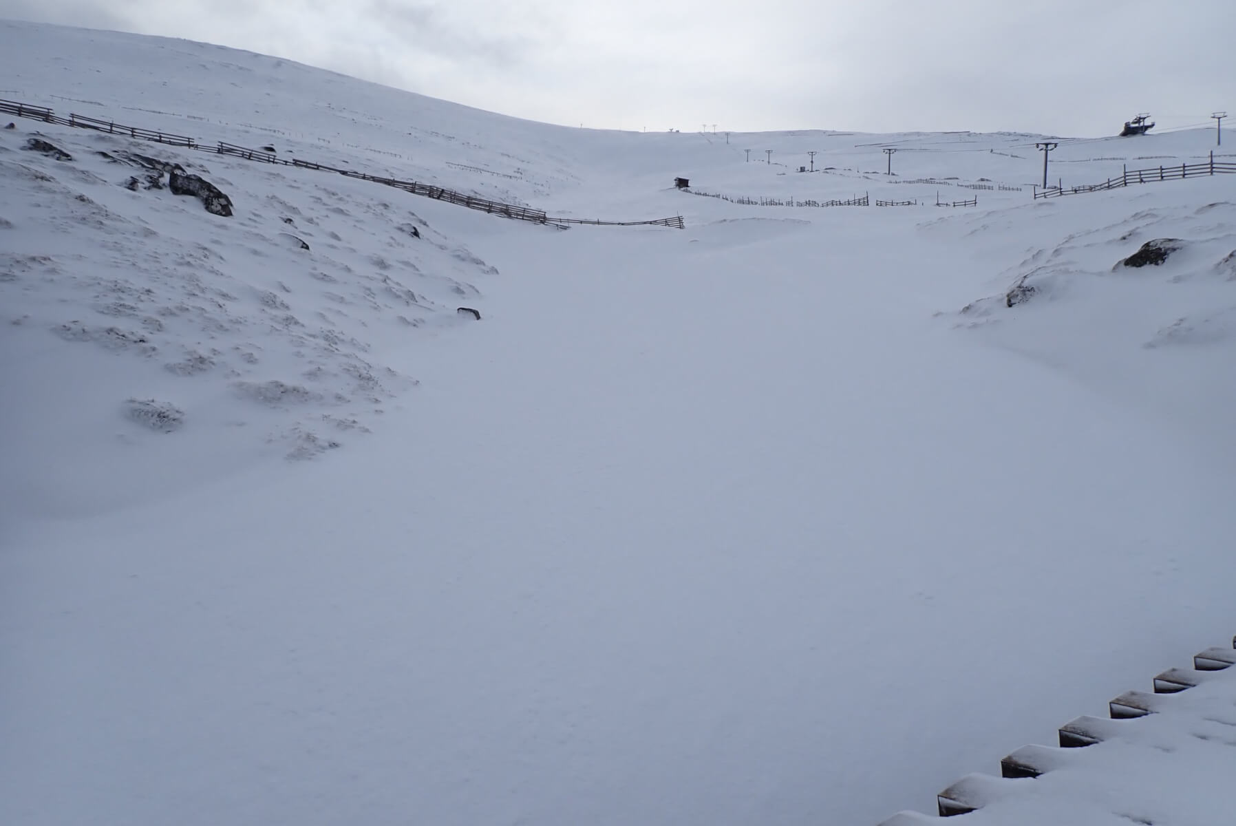
Looking up the line of the Goose Burn, although with no sign of the burn. Sheltered stream lines and gullies between about 600m and 900 metres caught yesterday’s snow quite well. For comparison a photo taken from this location last February when there was little snow around can be found in this blog post (https://lochaberblog.sais.gov.uk/2025/02/cold-with-snow-showers/).
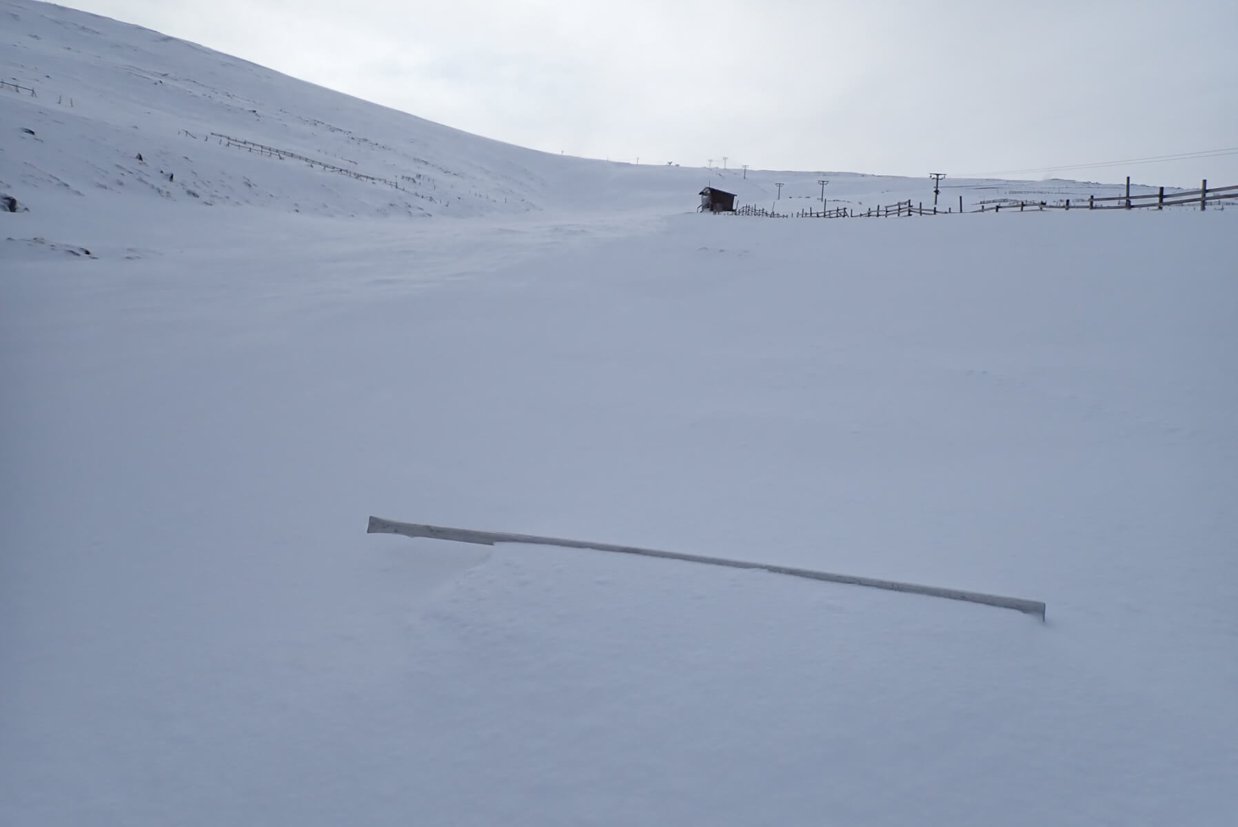
A snapped metal pole lying in the snow. I assume this was blown here from wherever it was previously (presumably somewhere within the ski area) by yesterday’s storm force winds. Was it snapped by the winds, am not sure. I would say that that would be possible, particularly if it had been covered by a thick layer of rime which significantly increased it surface area and thus resistance to the wind.
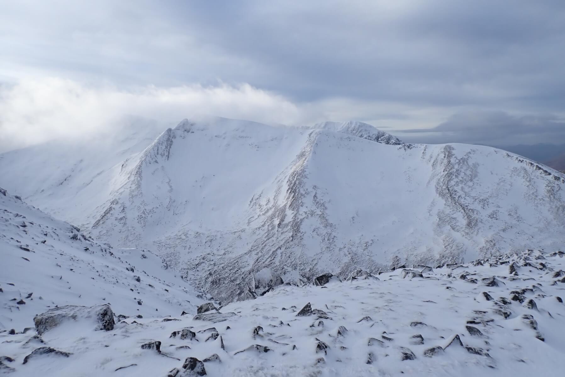
Looking over to Carn Mor Dearg.
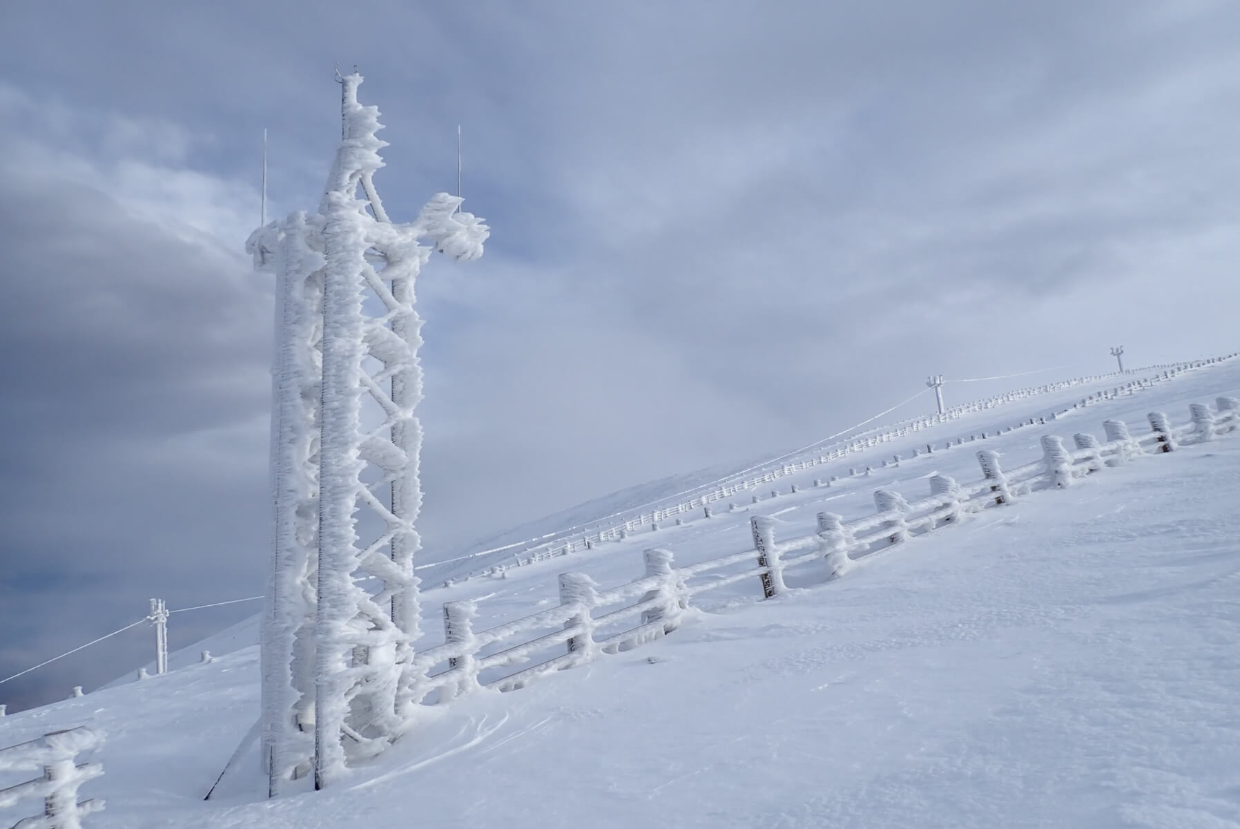
The Met Tower well rimed up. This layer of icy rime is not actually from yesterday, it formed a few days beforehand. Note the two ariels like things on the top the tower are almost free from rime. They are whip thermometers which are designed to bend in the wind to shed any rime which is building up on them.
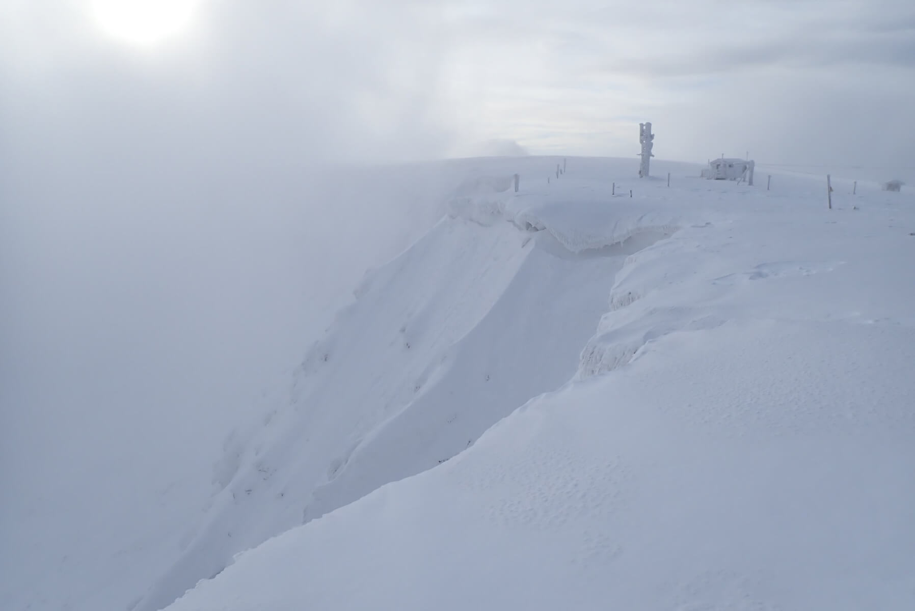
The top of Coire an Lochan. Not totally clear, but the clearest view any of us Lochaber Forecasters have had since the 8th of January, almost 3 weeks ago now.
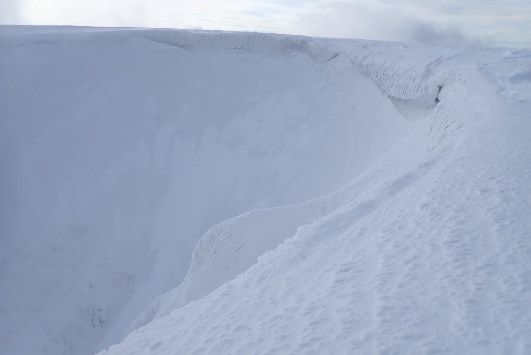
The top of Easy Gully. The cornice is still there but is rimed up with the strong winds which would have been blowing up the gully yesterday. In the gully itself patches of very shallow fresh and whiter snow can be seen sitting on top of the old firm icy and grey snow pack surface.
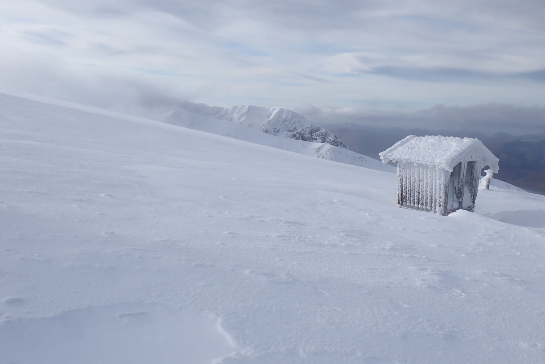
The so called Cuckoo Shed at the top of the ski area with Carn Mor Dearg and Ben Nevis behind.
Comments on this post
Got something to say? Leave a comment


