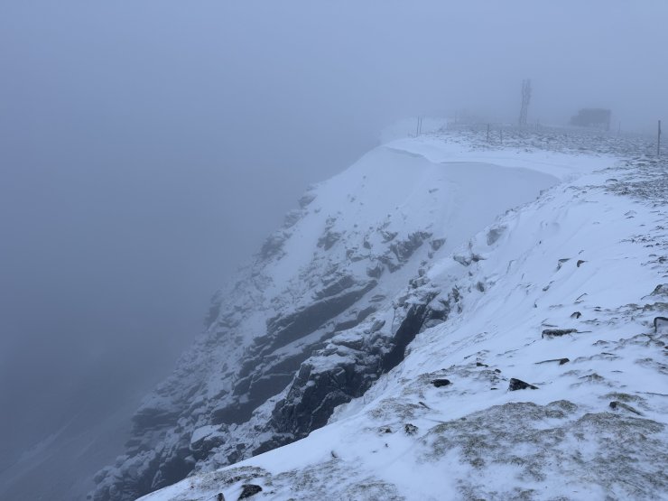
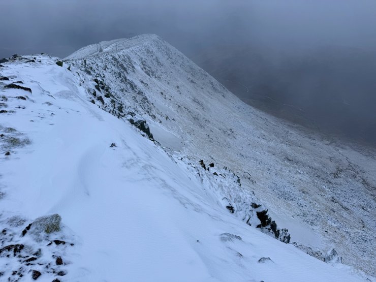
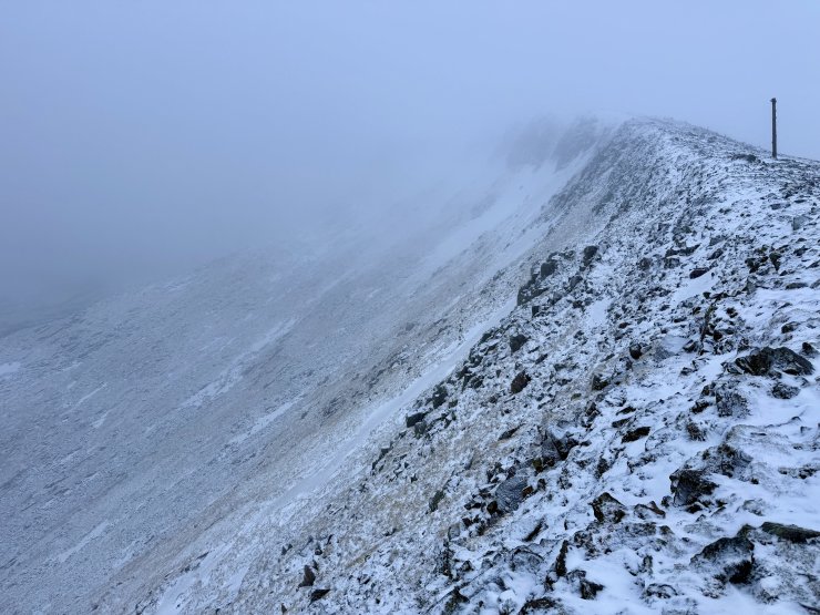
Colder and new snow.
15th December 2025
After a little overnight snow there was a dusting above around 900m. During the day there were some, mainly light, showers falling as snow above 900 metres, with the freezing level was around 1000 metres. The cloud base hung around 1000m while I was on the hill.
Snow showers above 750m are forecast for Tuesday, though there is uncertainty about their frequency and intensity. Fresh windslab will be deposited in wind sheltered locations, mainly on North to East aspects above 900 metres. Much of this will fall on bare ground. Where accumulations gain depth or overlie old refrozen snow they will be unstable. If the showers become more frequent or more intense the hazard should be adjusted accordingly.
Comments on this post
Got something to say? Leave a comment


