Winter Returns on the Higher Tops
28th March 2025
A bit of a weather change in the past few days. In the previous 8 days the midday summit temperature had been above freezing for 7 of those days, and slightly below freezing once. Today it was about -2.4°C with some heavy snow showers being blown in on a strong Westerly wind. The freezing level was about 900 metres. As you would expect this started to deposit windslab at the top of the gullies, particularly above an altitude of about 1050 metres. However, given how little snow there was before, most of this fresh snow settled on bare ground. In a few spots, particularly where it overlay the old hard snowpack, some moderately bonded areas of slab were forming. These areas tended to be isolated and avoidable, and not deep or extensive enough for anything other than a low hazard.
However, some further snow showers overnight, followed by a rise in temperature tomorrow accompanied by some rain might well be enough for some minor snow not avalanches and small scale cornice collapse, enough to bump the forecast hazard up to a moderate for tomorrow.
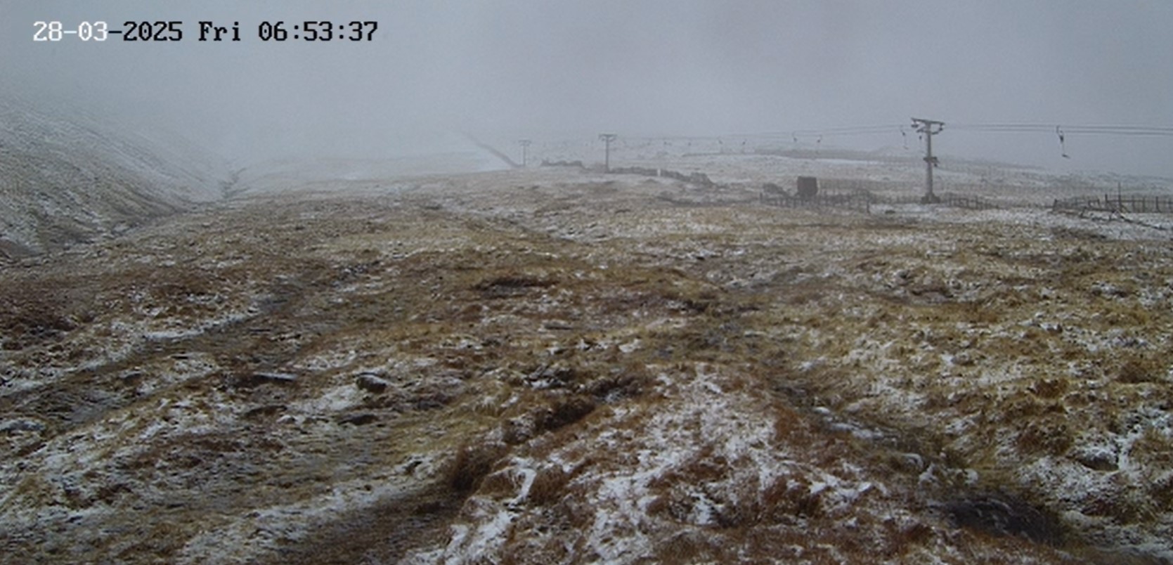
A screenshot of the Nevis Range webcam first thing this morning. Not much fresh snow at this point.
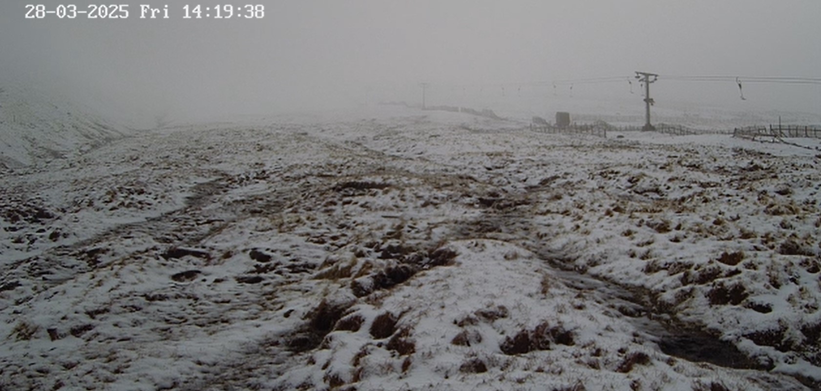
The same webcam screenshot taken mid-afternoon. A bit more snow about, but at this level (about 850 metres) things are pretty damp and sticky with not much drifting going on despite a decent wind. Above about 1050m it felt a lot more wintry.
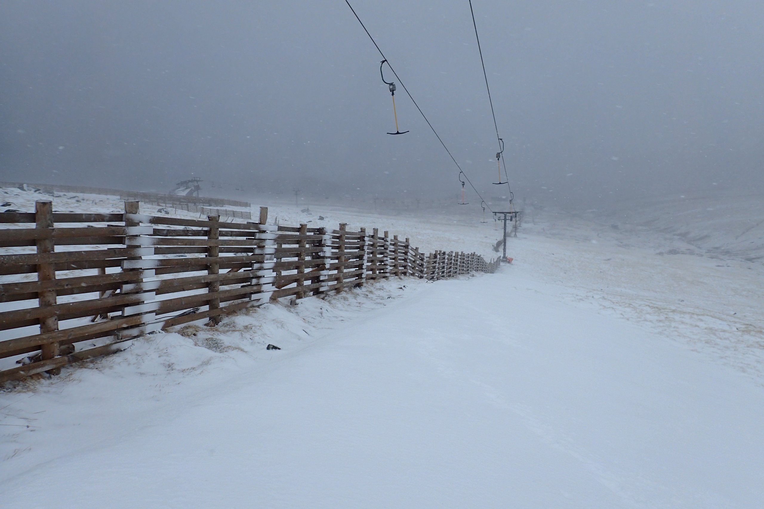
Looking down the Goose T-Bar from an altitude of about 1000 metres. Most of the snow in the foreground is a few centimeters of fresh snow sitting on top of the older snowpack.
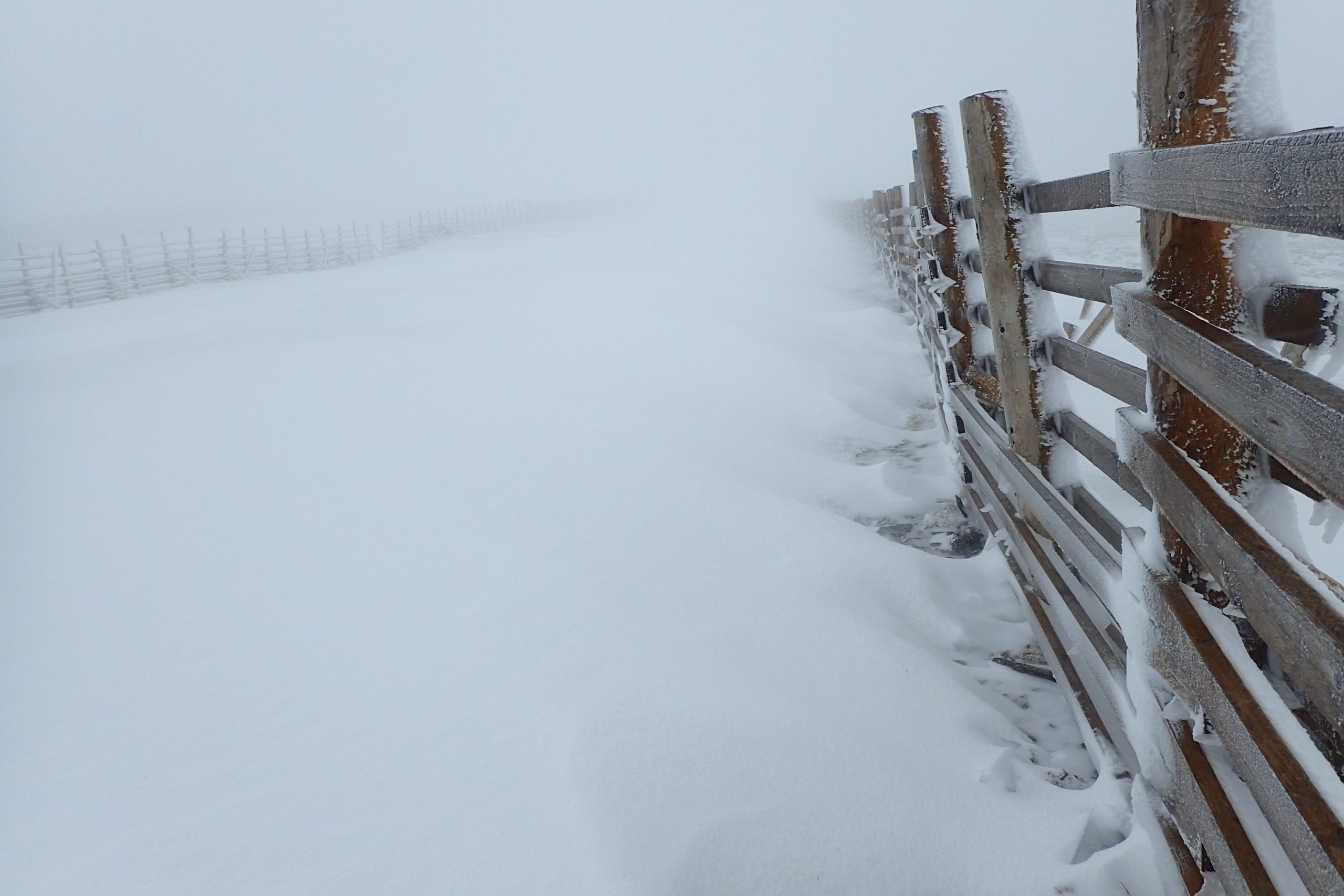
Looking up the summit run at an altitude about about 1150 metres. Things were feeling distinctly more wintry up at this level will significantly more fresh snow drifting behind the fences.
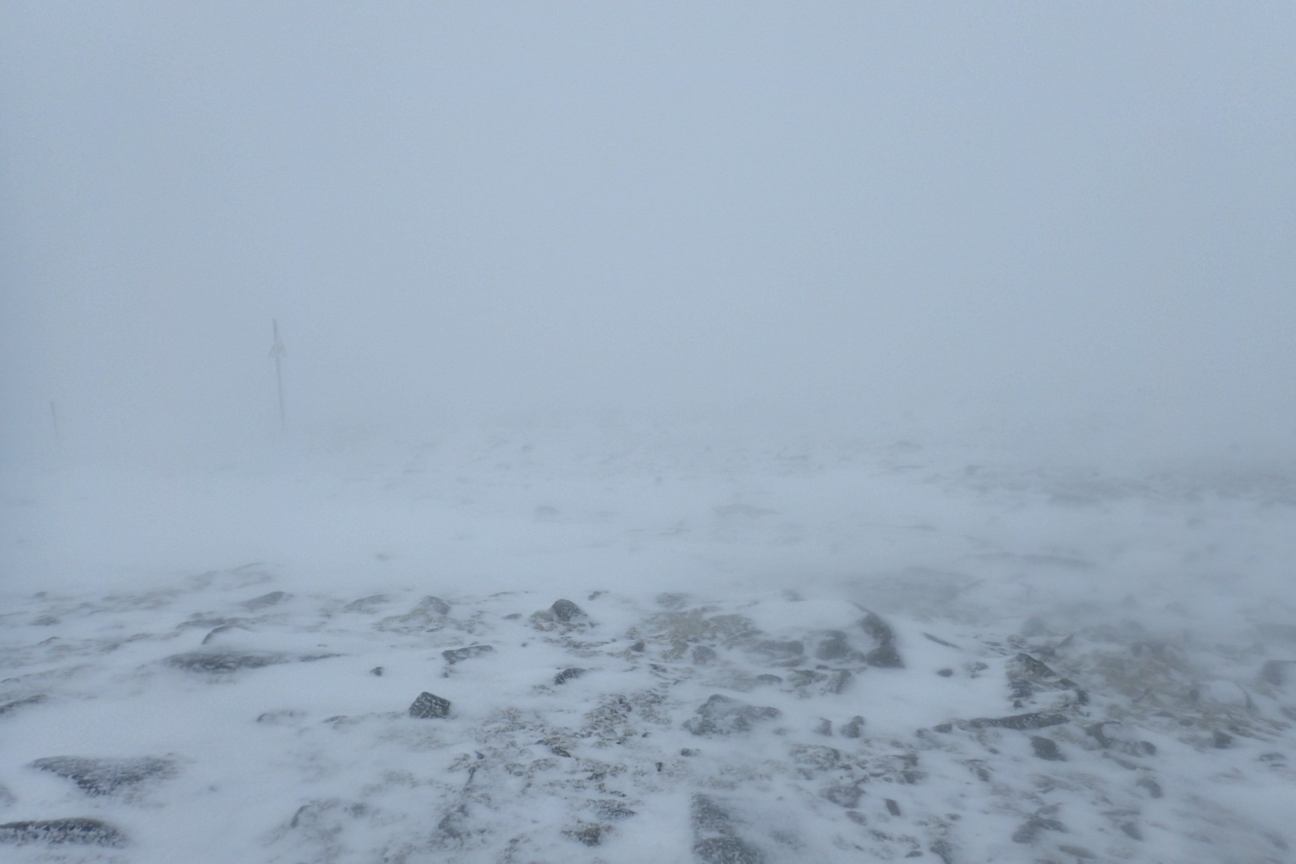
Full on winter on the summit plateau with drifting snow and poor visibility.
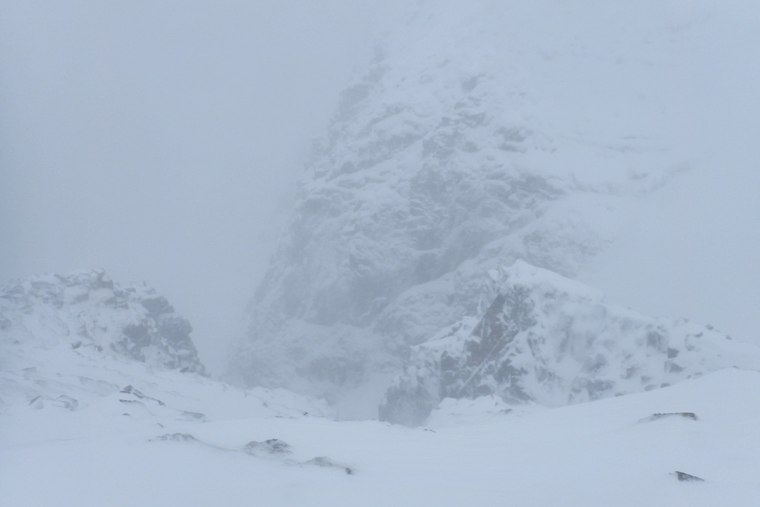
The critical question avalanche wise is how much is being deposited in the start zones. Looking into Easy Gully I could not make out much at the back of the gulley, but looking down towards the little spur on the North side, there was not a great deal of fresh snow.

A poor quality photo looking down towards Morwind area. Hard to make out, clearer when I was there that you only have to go a short distance down slope and you are back on grass with just a shallow layer of fresh snow.
Comments on this post
Got something to say? Leave a comment