Lochaber Views
1st March 2025
Overnight precipitation was light and cleared to give a mainly dry day with high enough cloud to give some good views. The freezing level was around 1000 metres with moderate Westerly winds. The snowpack continues to slowly consolidate with some localised instabilities remaining above 1100 metres as detailed in the report. A dry day with very strong South-Westerly winds is forecast for Sunday with the freezing level gradually rising to around summit levels by the end of the day and slightly warmer overnight Sunday with some precipitation before falling back to around 1000 metres on Monday. Avalanche debris was observed in Coire an Lochain on Aonach Mor. The details of when the avalanche occurred are uncertain but most likely cornice collapse triggered slab avalanche following significant drifting yesterday.
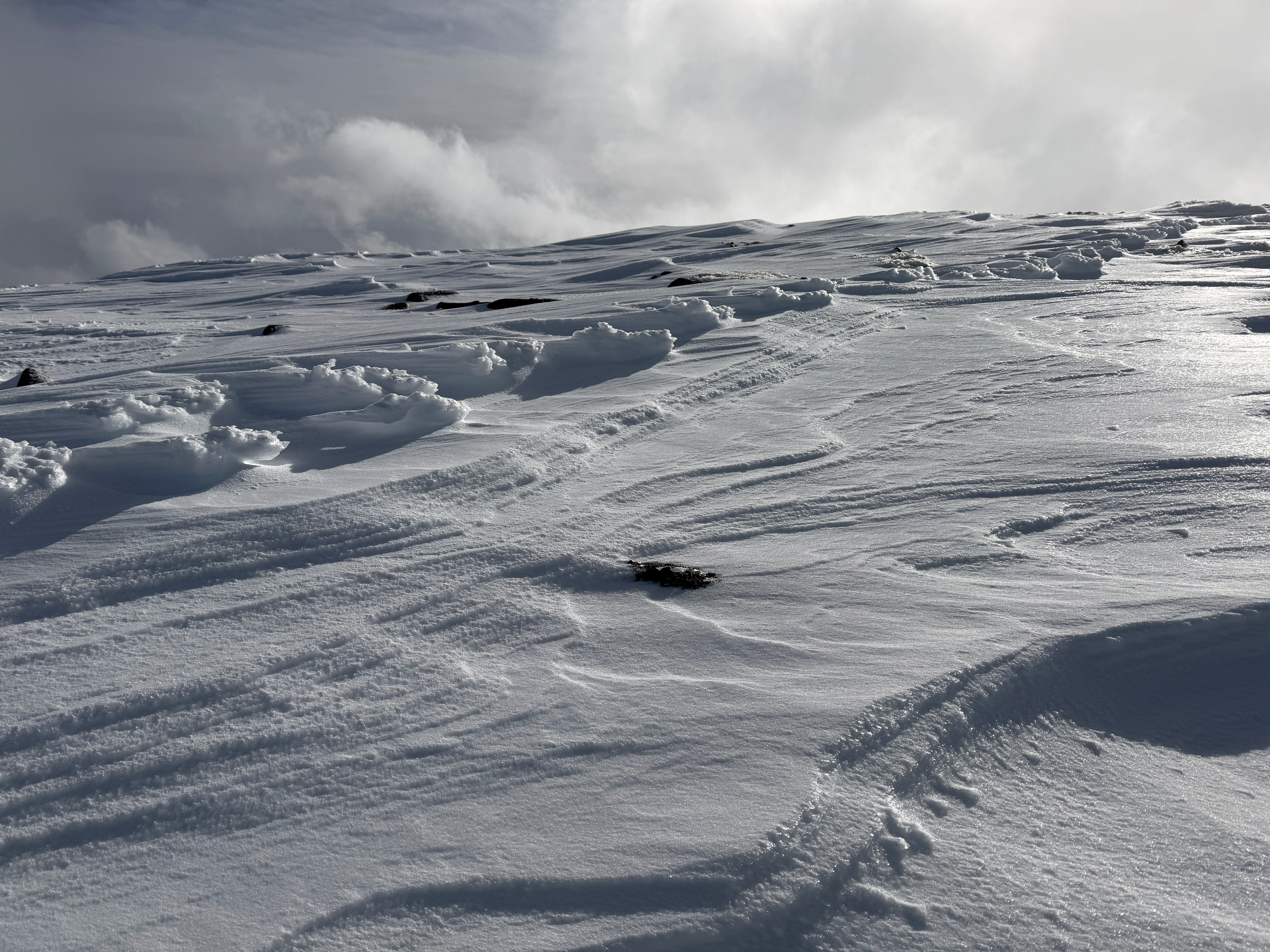
Raised footprints, where the avalanche forecaster walked yesterday. The strong South-Westerly winds yesterday stripped out the soft snow and left the compressed snow as raised footprints. This drifted will now be at the top of North to East aspects.
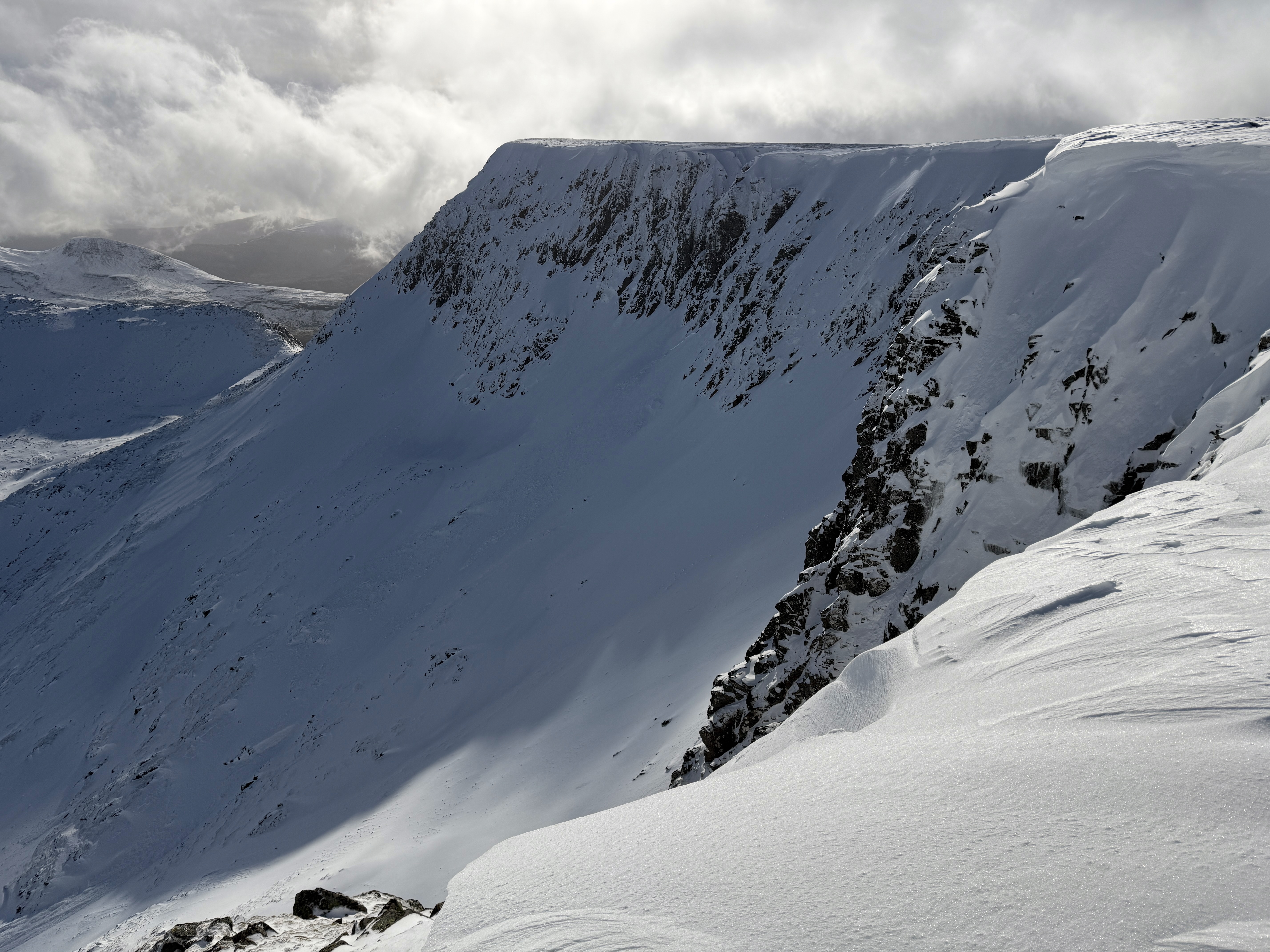
Looking along the crags South of Easy Gully with an avalanche crown wall visible below the cliffs debris just visible bottom left of the photo.
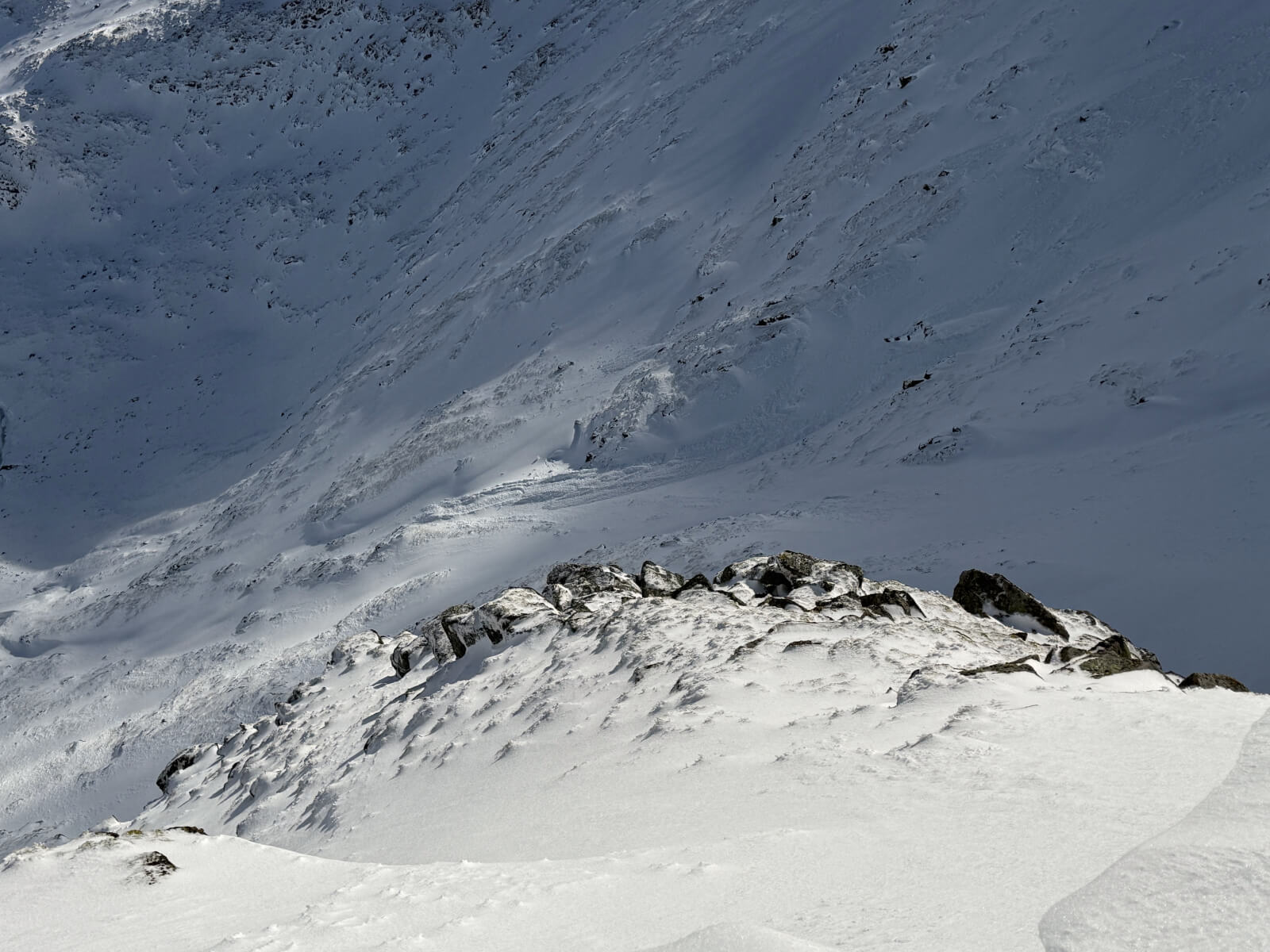
Debris from the avalanche described above.
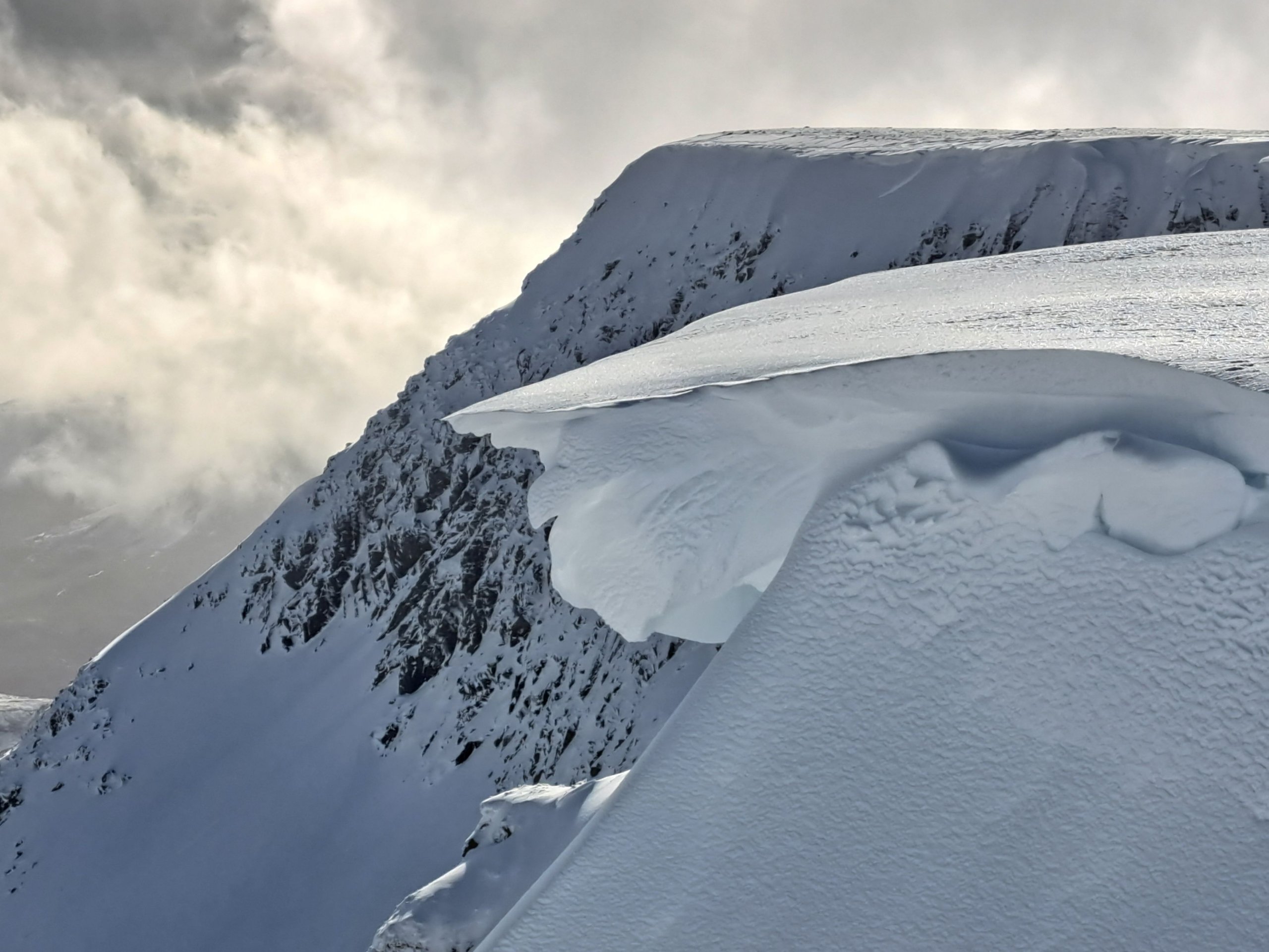
A cornice above an East aspect, Coire an Lochain, Aonach Mor
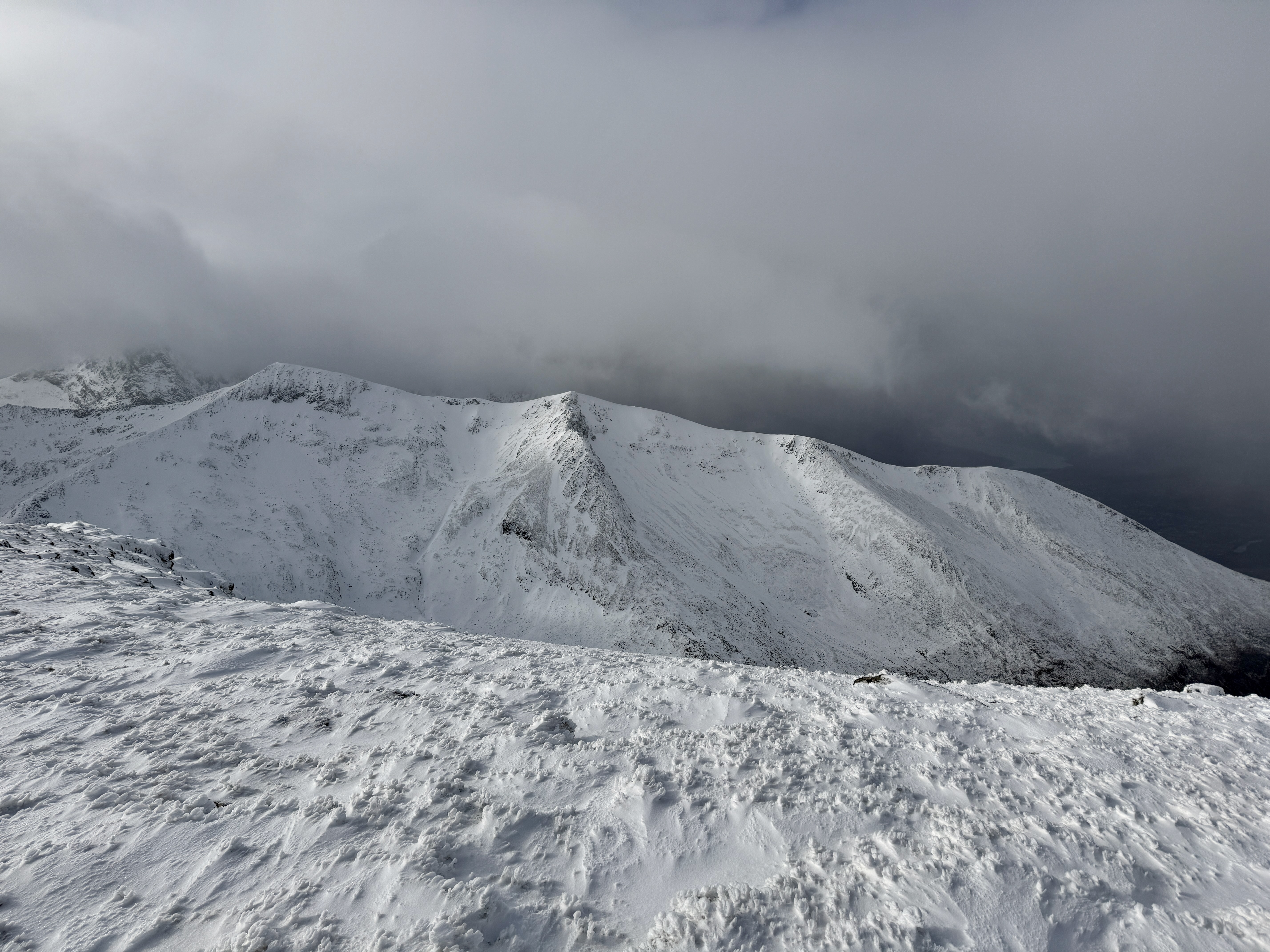
Looking round the coire rim of Coire Dubh Aonach Mor.
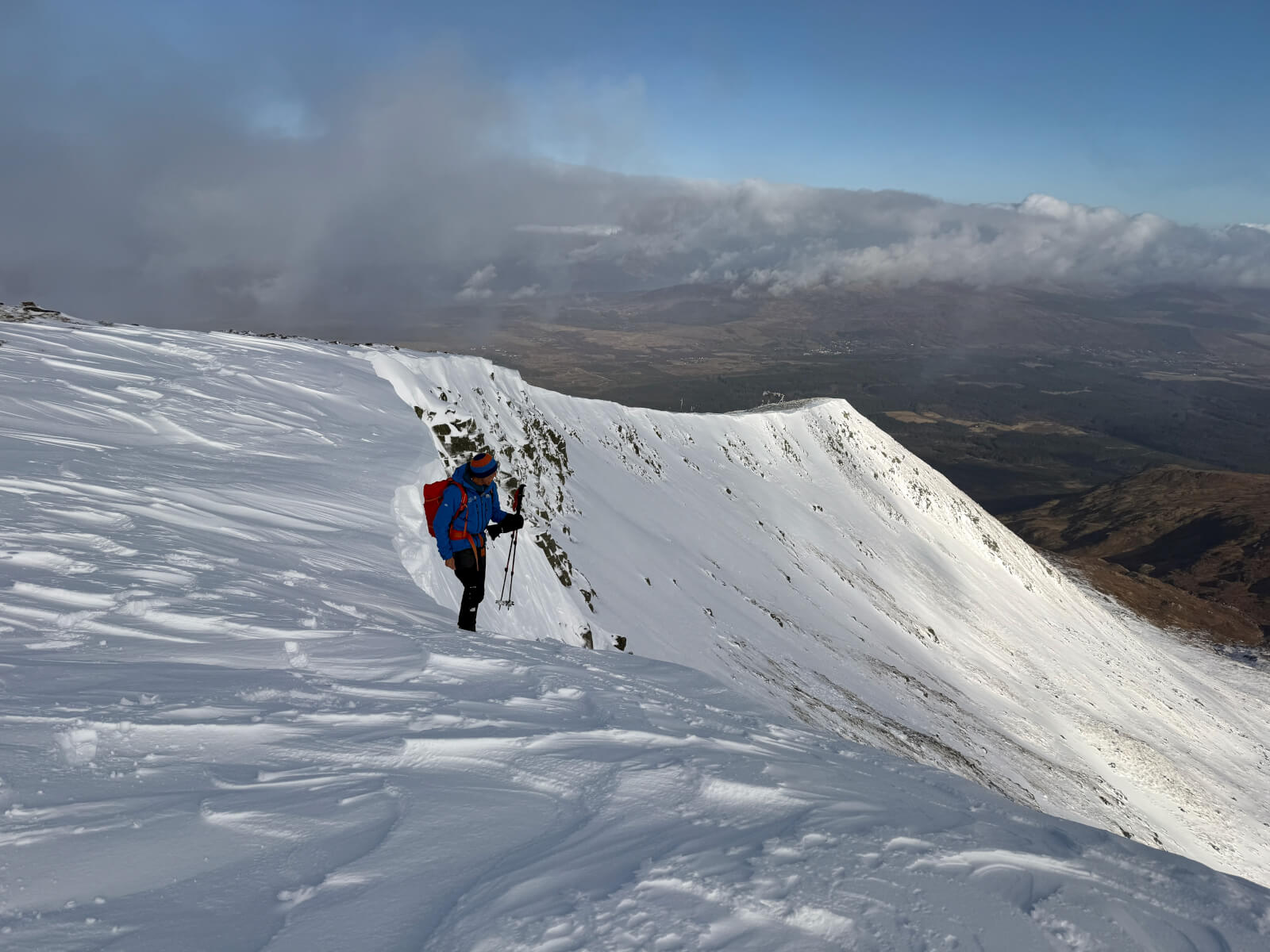
North-East ridge of Aonach Beag
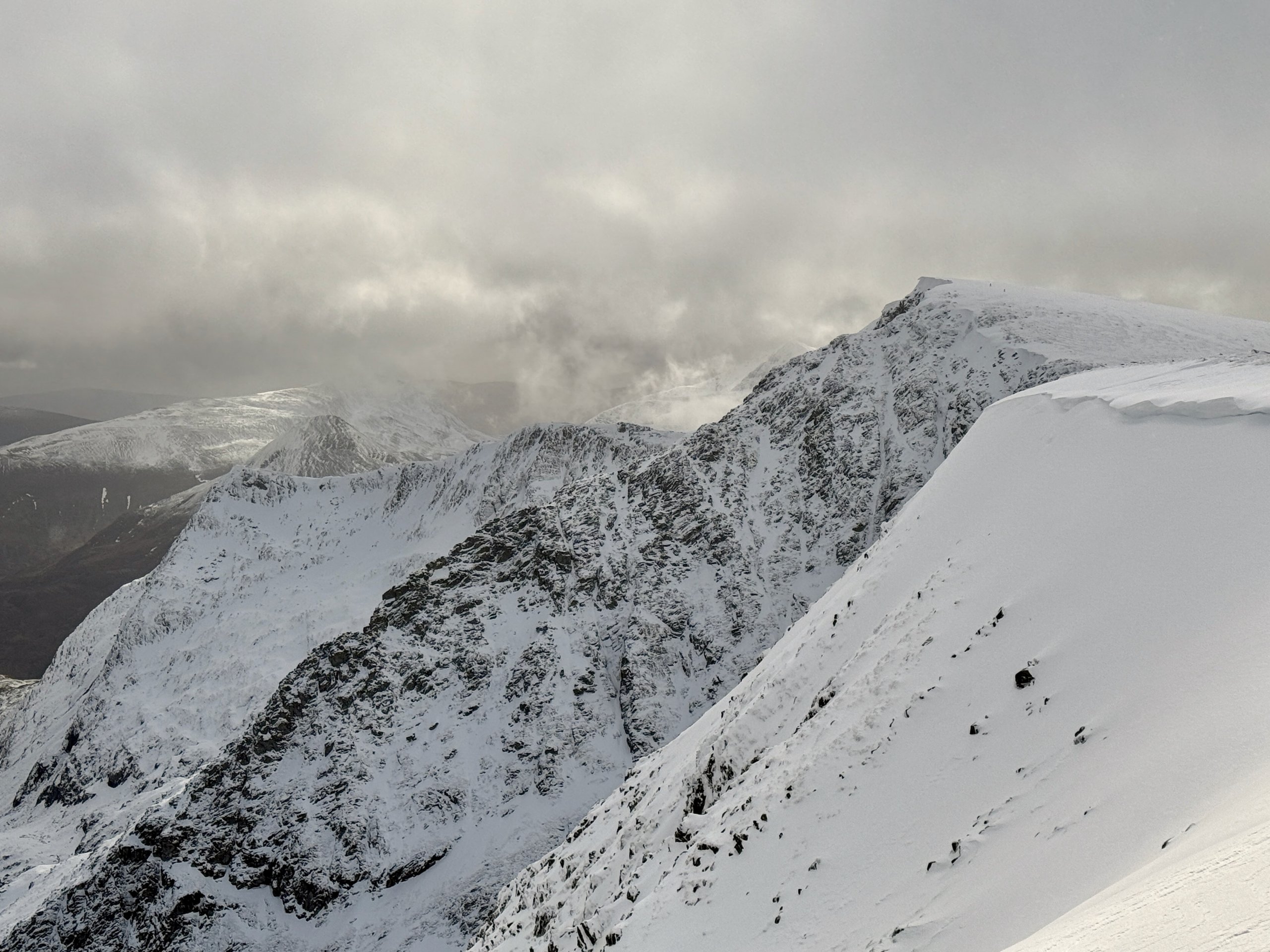
Carn Mor Dearg
Comments on this post
Got something to say? Leave a comment


