Freezing rain
18th February 2025
There was much evidence of freezing rain today with verglas on rocks and paths and a thin icy crust on the snowpack. Freezing rain usually starts it’s journey from the clouds to the ground as snow but then passes through a warmer layer in the atmosphere where it turns to rain. It then passes through a layer of colder air close to the ground where it becomes supercooled water droplets which freeze on making contact with the cold ground.
Generally milder conditions have lead to consolidation and improved stability in the snowpack since yesterday (see temperature graphs below) and the icy rain crust is also helping with stability. Not much change expected tomorrow with the consolidation continuing. Heavy rain to summit level is then forecast for tomorrow night.
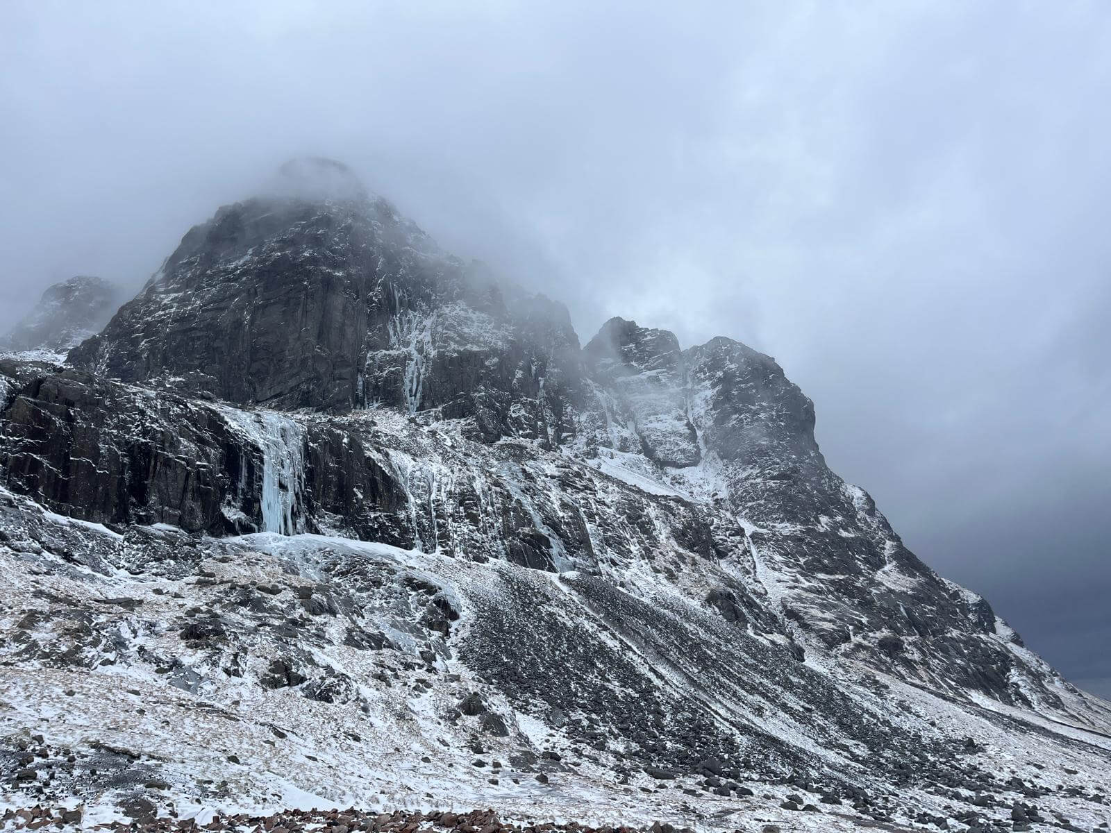
Carn Dearg Butress to the Tower Gullies, Ben Nevis.
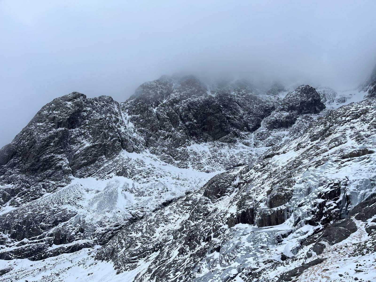
Tower Ridge disappearing into the cloud, Ben Nevis.
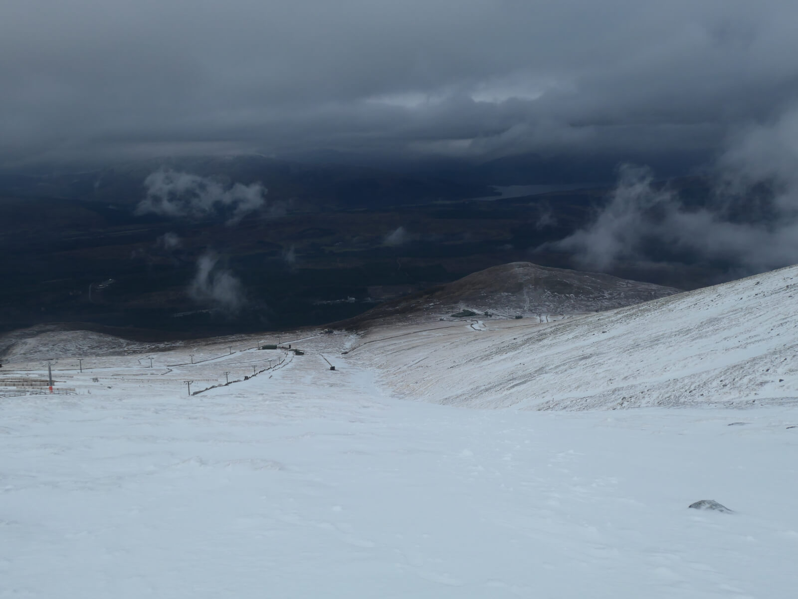
Looking down the Goose, Aonach Mor.
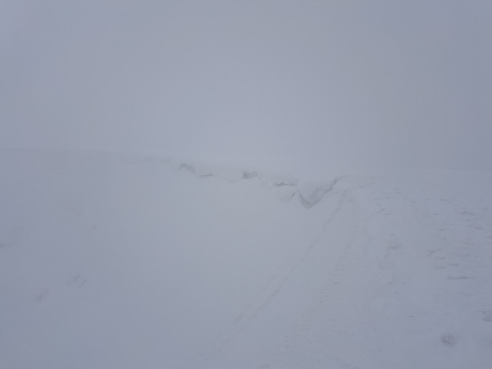
Poor visibility at the top of Easy Gully, Aonach Mor.
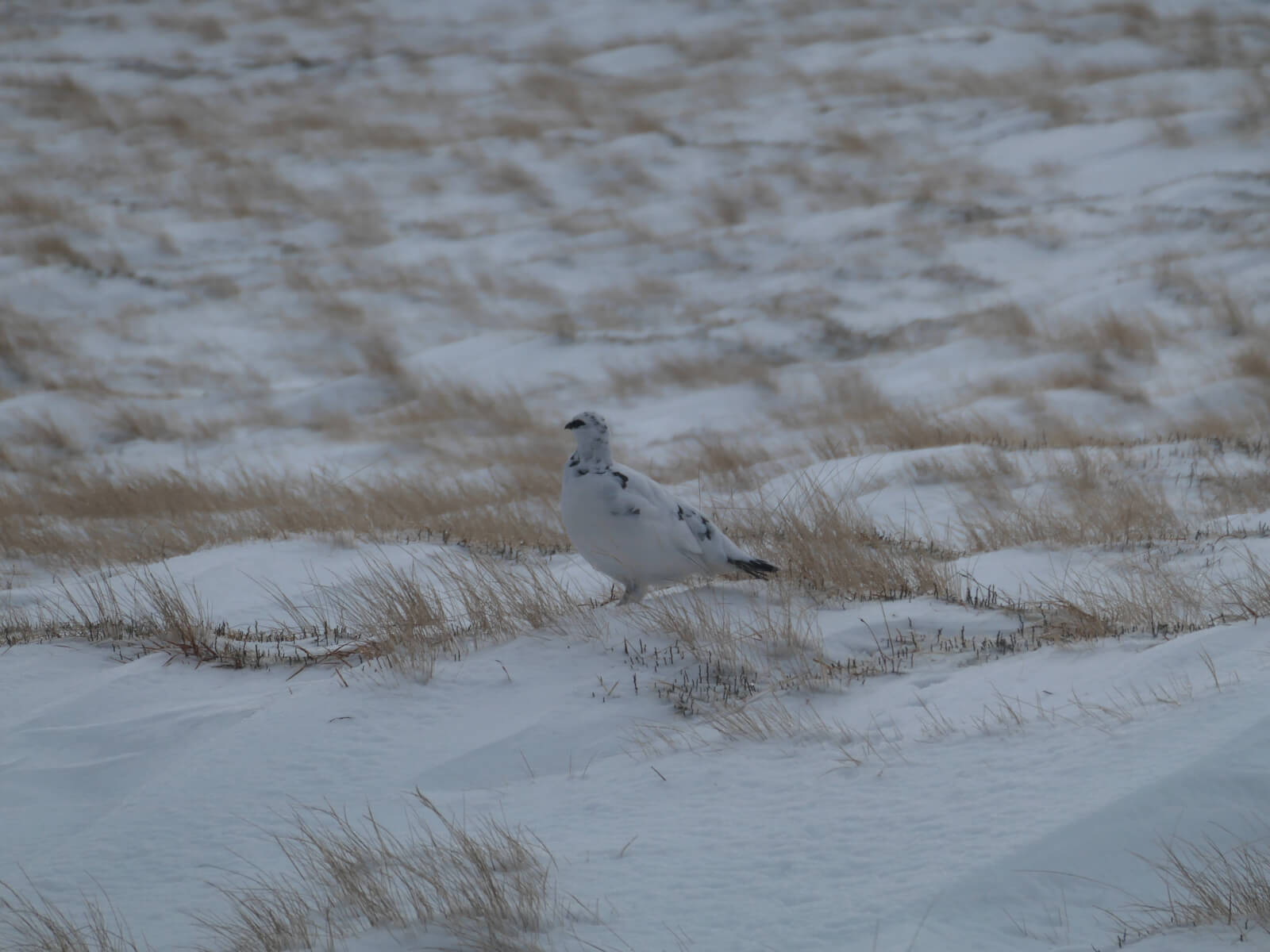
A Ptarmigan on Aonach Mor.
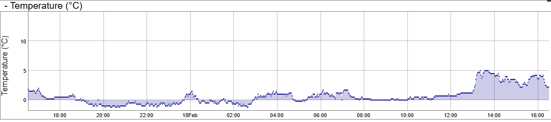
Temperature at 650 metres on Aonach Mor for the last 24 hours. These were fluctuating around zero overnight with a noticeable warming in the afternoon.
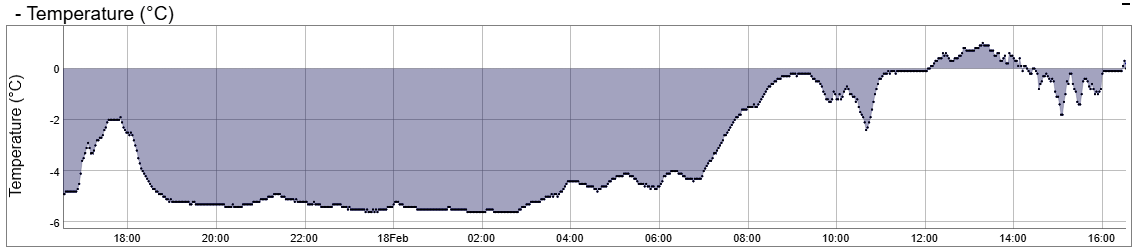
Temperature at 1200 metres on Aonach Mor. Cold overnight then fluctuating at close to zero.
Comments on this post
Got something to say? Leave a comment