After the storm
25th January 2025
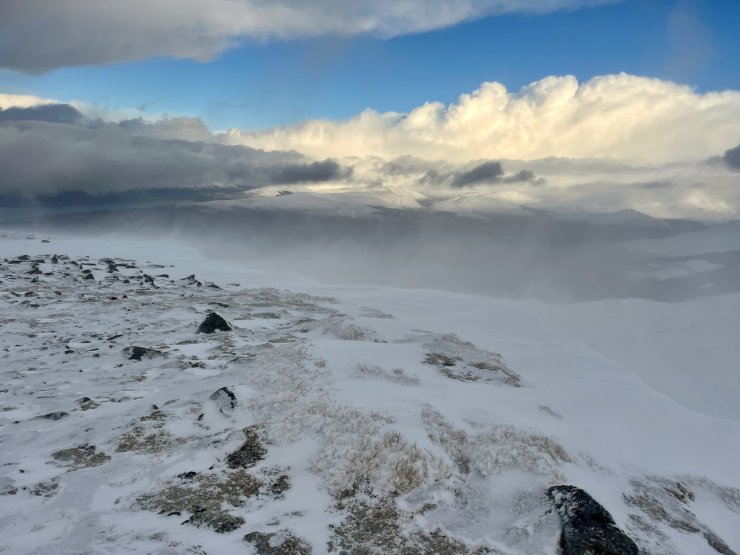
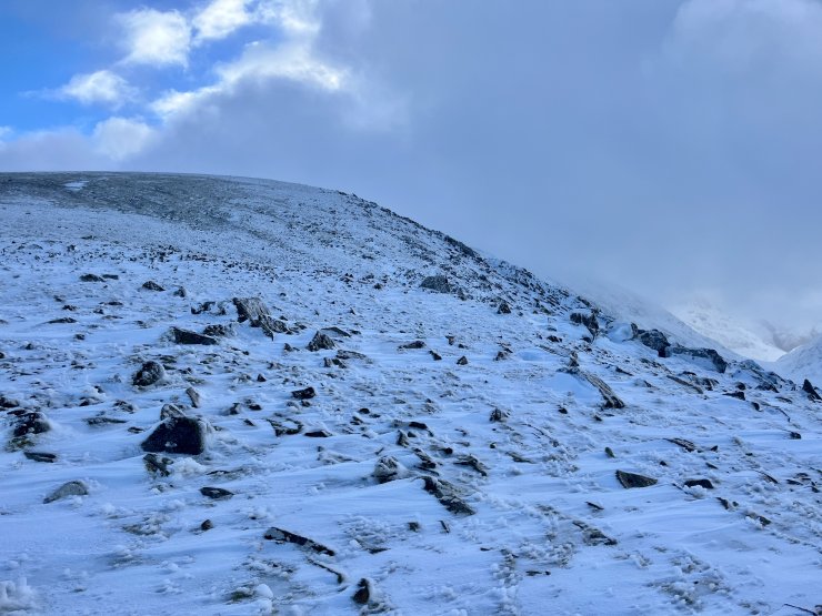
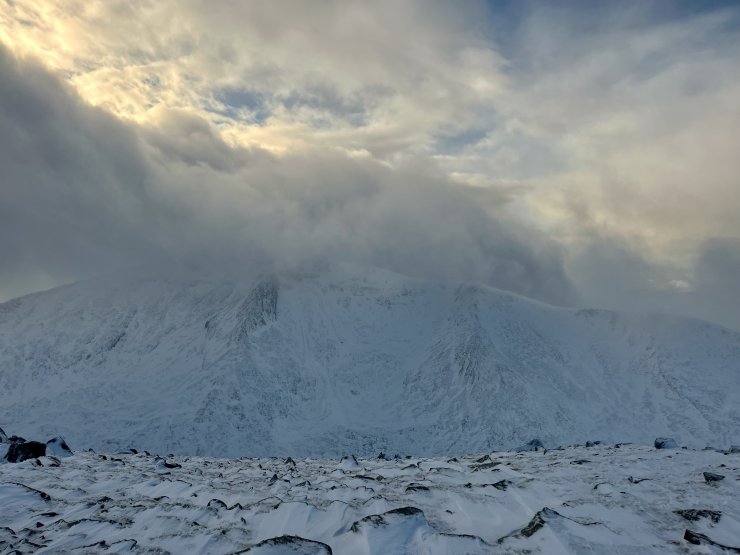
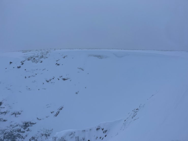
Today gave a chance to get high up and see how much snow there is after storm Eowyn. As expected with gusts of over 100 mph the snow is very wind affected. Many wind exposed aspects are scoured with limited snow. Winds in excess of 100 mph often cause snow to be stripped from the hill and even some wind sheltered areas do not catch as much snow as expected with more snow at lower elevations. Snow accumulations were very variable in depth with greatest accumulations in gullies, around, coire rims and crag aprons. Lower but still strong windspeeds were causing continual drifting today and windslab accumulations were developing. This will continue with further snow on similar wind speeds from the South-South-West overnight before a brighter calmer day then windspeed increase again from the South-East through the afternoon. More details in the avalanche hazard report.

Continual drifting through the day on strong West-South-West winds causing windslab accumulations to further develop

Wind exposed locations have very little snow. This is the west side of Aonach Mor, redistribution will affect this area later tomorrow.
Comments on this post
Got something to say? Leave a comment


