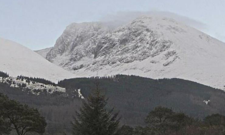
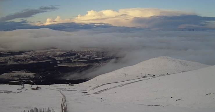
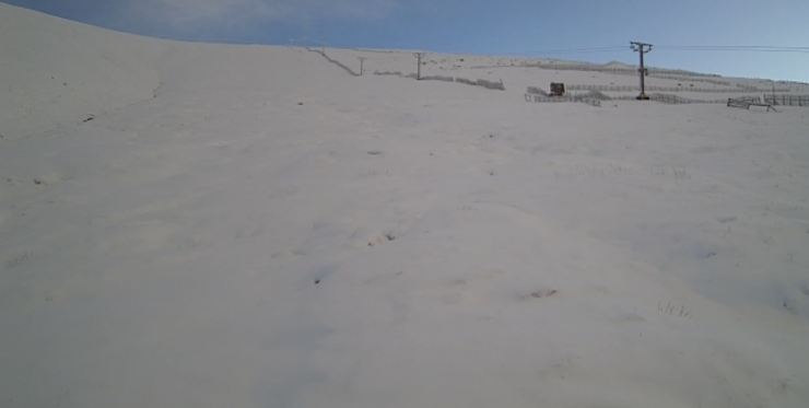
Storm Bert is on its way…..
22nd November 2024
The current cold spell is about to come to an end!
Storm Bert arrives early on Saturday. There will be a period of heavy snow followed by rain at all levels. There will likely be some localised instabilities during the day both before the freezing level rises and when it starts to warm up in the afternoon.
South Easterly gales will become established in the early hours and continue to strengthen during the morning producing 80-110mph gusts over the summits.
Avalanche report for Lochaber is available on the main website
Comments on this post
Got something to say? Leave a comment


