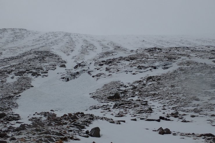
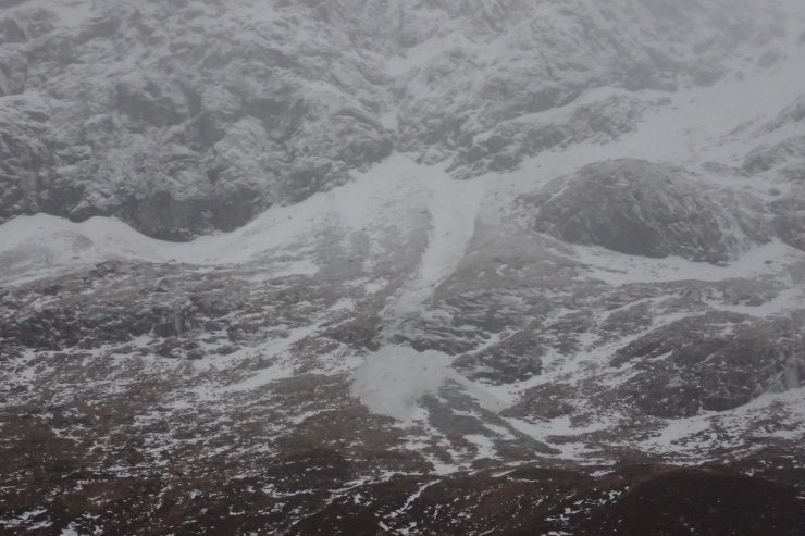
West Face of Carn Mor Dearg
21st January 2024
Last night the freezing level rose to summit level for a few hours before dropping back down again to around 800-900m. There has been a fair bit of snow, so things were looking pretty white on Ben Nevis today. I saw some evidence of avalanches, the first being natural release debris below the Nordwand face. There may also have been a bit of debris below Number 5 Gully, and quite possibly more higher up the hill, it was hard to see. No surprises there.
What was more surprising was what had happened on the other side of the Allt a’ Mhuilinn. A report submitted to the website suggested there had been an avalanche on the West face of Carn Mor Dearg yesterday, so I thought I would go and have a look. Right enough, there was a significant pile of debris, a large size 2, or small size 3 avalanche. I have never seen avalanche activity on this slope before, and it was on an aspect which I had considered generally Low Hazard when writing the report yesterday. Avalanches can still happen on areas considered Low Hazard – in the words of a wise old avalanche forecaster “low does not mean no”.
As I type this the freezing level has risen above the tops, and it is raining at all levels. I suspect there will be more avalanche activity this afternoon and early in the night. The freezing level will then drop, consolidating the existing snowpack. However, snow showers will then start depositing windslab, until the next thaw-freeze cycle in a few days time. Looks like things will be developing rapidly over the next few days.

Looking up towards Observatory ridge and the crags on either side of that. Again looking quite white up in there.

The debris from yesterday’s avalanche on the West face of Carn Mor Dearg (the ski pole just for scale).

Another shot of yesterday’s avalanche. Just about visible here is the debris the stopped on a shelf up and right of main lower debris pile.

A screen shot from the SAIS avalanche map with all the recorded avalanches on it. You can see how common avalanches are on the North and East aspects of the Ben, and how rare they are on the West face of Carn Mor Dearg. In over 15 years of forecasting in Lochaber, I can’t remember seeing any avalanche activity on this face.
Comments on this post
Got something to say? Leave a comment


