Warm Air, Cold Snow.
11th January 2024
It was a lovely clear day in Lochaber today. Although there was no cloud inversion as there was in other areas and could clearly be seen in the distance, the temperature inversion was clearly felt. Walking up Aonach Mor this morning the air suddenly felt warm when I reached an altitude of about 900 metres. I got my thermometer out, and at a height of about one metre of the ground, the air was warm, about +7°C. The snow surface however, remained cold, about -3°C. Continuing up the summit area both snow and air were a bit colder, but there was still about a +10°C difference between the air at one metre about the surface (about +5°C) and the snow surface temperature (about -5°C). Even where the snow had seen a lot of sunshine it remained a good few degrees below freezing.
Strong differences in snow surface and air temperature can form in these conditions for a number of reasons. The four of these which spring to mind are;
- The light winds allowing a thin layer of colder air to sit over the surface of the snow pack separating it from the warmer air a few cm or 10’s of cm above.
- The clear conditions and long nights allowing lots of cooling of the snowpack surface due to radiative cooling.
- The short days cause little warming of the snowpack surface due to the low angle of the sun and the short hours of daylight.
- Dry air allowing for further cooling of the snowpack surface due to evaporative cooling/sublimation.
The result of all this is that snowpack is remaining cold, and not really changing significantly. It remains cold, firm and stable. Below about 1000 metres it is quite firm and icy. Above this level it has a bit of a crust to it. Perhaps the most significant slip hazard is the areas of water-ice which is forming on paths at all altitudes.

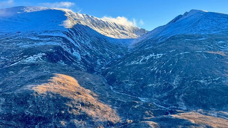
An unusual view of Aonach Mor and Carn Mor Dearg taken yesterday. Thanks to yesterday’s forecaster who went above and beyond the call of duty to get this shot.

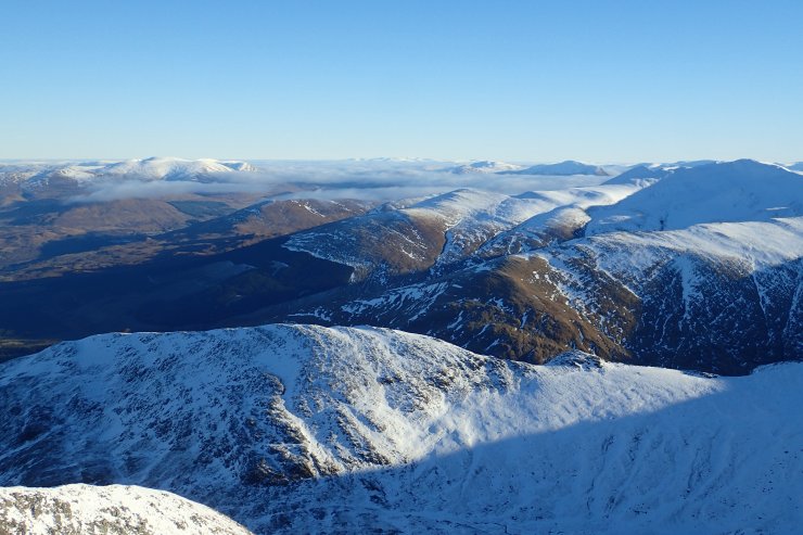
Looking to the East. Creag Meagaigh can be seen on the left, with the North Cairngorms poking through the cloud in the far distance.

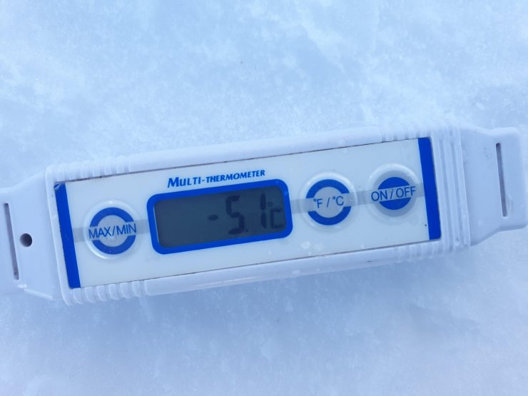
In the shade of the summit hut the snow surface temperature was -5.1°C. However, in the same location, at a height of about a meter above the snow surface, I was recorded an air temperature of +5.2°C.

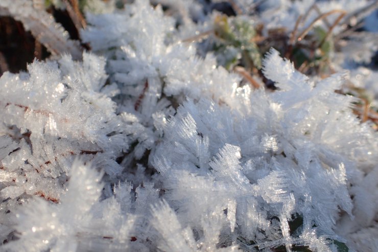
Frost on the plants at the edge of the Nevis Range carpark at an altitude of about 90m. At this level in the temperature stayed below freezing all day.
Comments on this post
Got something to say? Leave a comment


