The West wind will blow
19th December 2023
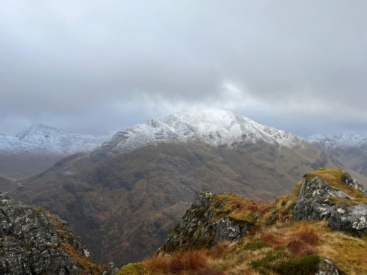
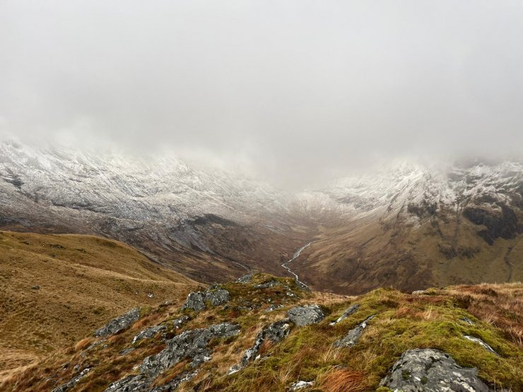
Today was a day of squally showers coming through on very strong Westerly winds. Although some fresh snow was blowing around above 800 metres, it was falling on bare ground. Any small deposits higher on the mountain will not have been sufficient to cause an avalanche hazard. The freezing level was around 900 metres and the wind remained strong to very strong Westerly.
Tomorrow, there will be showers throughout the period. Initially as snow to 700 metres, then turning to rain at all levels by the end of Wednesday. Freezing levels will rise to above the summits during the day. The wind will be Westerly, gale to severe gale force on the tops. So by the end of tomorrow, what little snow we have managed to gain over the past 24 hours will be largely gone.
Looking ahead, there is an extremely windy day forecast on Thursday, with storm force winds on the summits, and very strong winds even to lower levels. Thursday into Friday the winds moderate a little but still remain very strong. The freezing level is forecast to lower from Thursday into Friday, with snow falling to 500 metres. Unfortunately, this will be a transient colder spell, with the freezing level forecast to rise again on Friday afternoon.
We are still in the position that there is not enough snow to justify issuing a formal avalanche report, but we will watch with interest the storm cycles that are forecast to come through later this week.
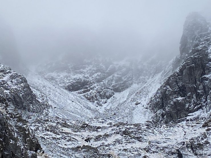
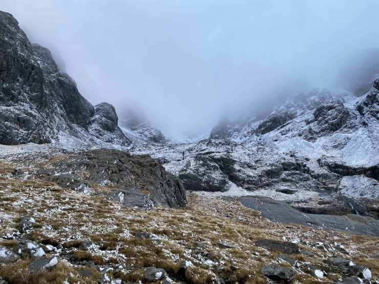
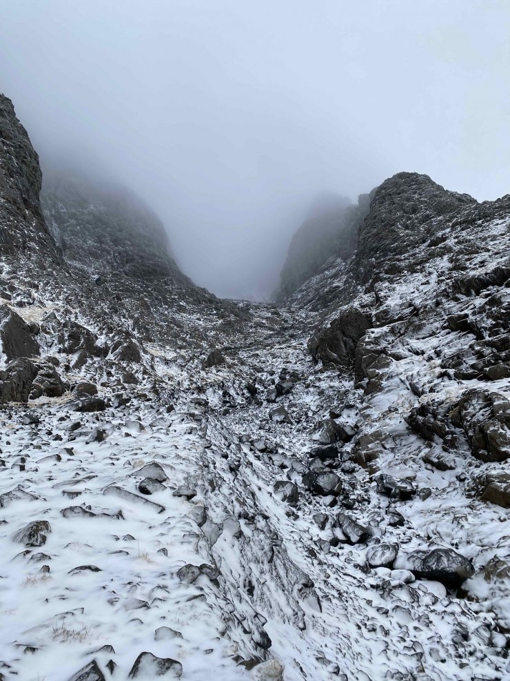
Looking into the top of Coire na Ciste. No3 Gully coming in on the Left, No4 on the right. Just superficial snow on rocks. (Not a pleasant place to walk at the moment!)

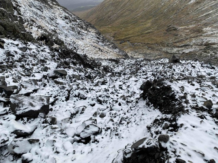
Looking across the rockslide around / underneath the Douglas Boulder, towards the Orion Face. This large slide has changed the approach to Observatory Gully and this side of the Boulder. Most likely caused during a flash flood in early summer.
Comments on this post
Got something to say? Leave a comment
