Drifting snow
23rd March 2023
Following last nights heavy snow showers there was drifting in the strong South-South-Westerly winds throughout the day today. Showers became lighter and more scattered during the day with periods of good visibility. For a time overnight the showers had turned to rain below around 950 metres. Roller ball activity is evidence of the period of rain, as is the crust at this height. Precipitation then turned to snow down to around 700 metres, although this snow has begun to thaw as the freezing level has risen again. The freezing level rose to around 1100 metres by the end of the afternoon.
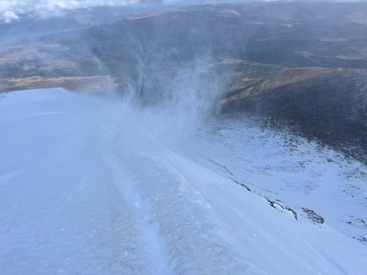
Spindrift in the strong South-South-Westerly winds.
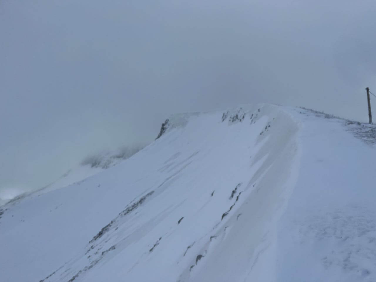
The localised nature of the fresh windslab. This is an Easterly aspect at around 1100 metres. The darker snow is the older stable snow, the lighter snow is the fresh windslab.
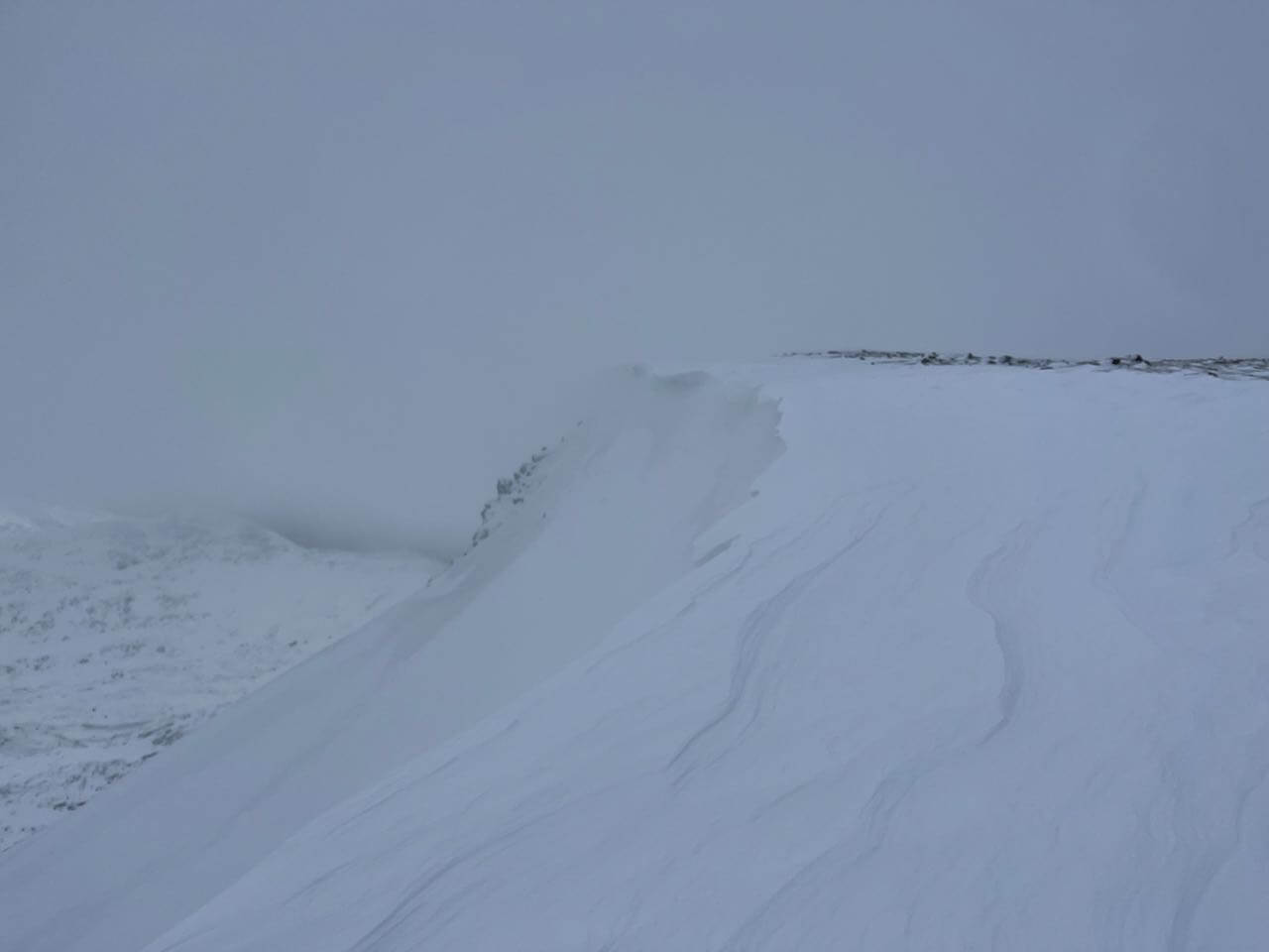
Fresh cornices on an Easterly aspect. Again when you look closely you can see the windslab (lighter) and the older stable snow (darker).

A fresh and fragile new cornice.
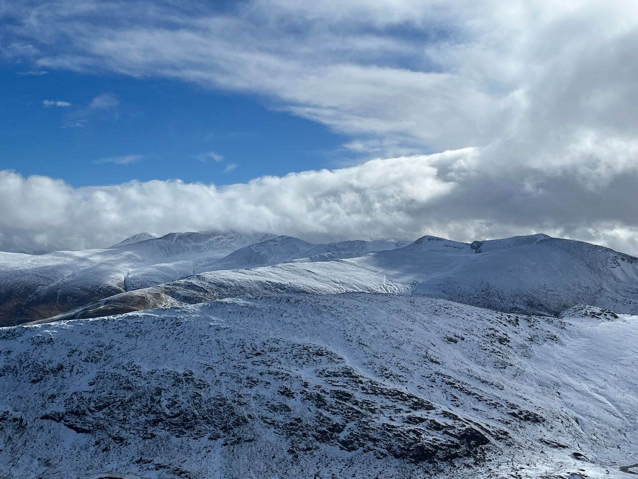
A view to the Grey Corries in a break in the clouds.

New snow on the nid area of Aonach Mor. If you look closely at the snow on the left you can see evidence of roller ball activity, this will be from the spell when precipitation turned to rain at this height (around 900m) during the night.
Comments on this post
Got something to say? Leave a comment


