Melting snow, more complicated than you thought!
31st March 2021

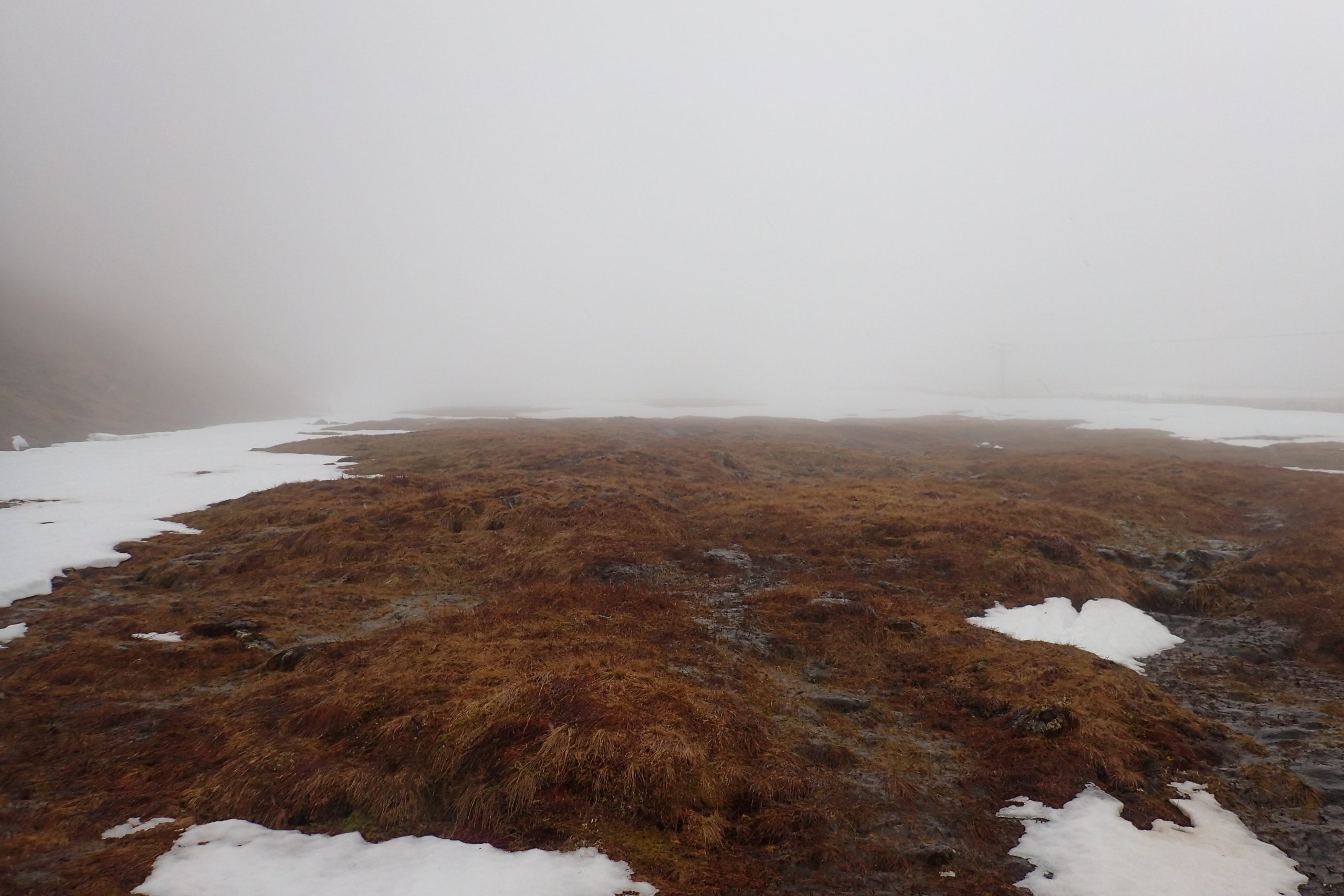
Poor visibility at higher levels today. As you would expected cornices have been slumping and dropping off in the mild conditions over the pas few days.

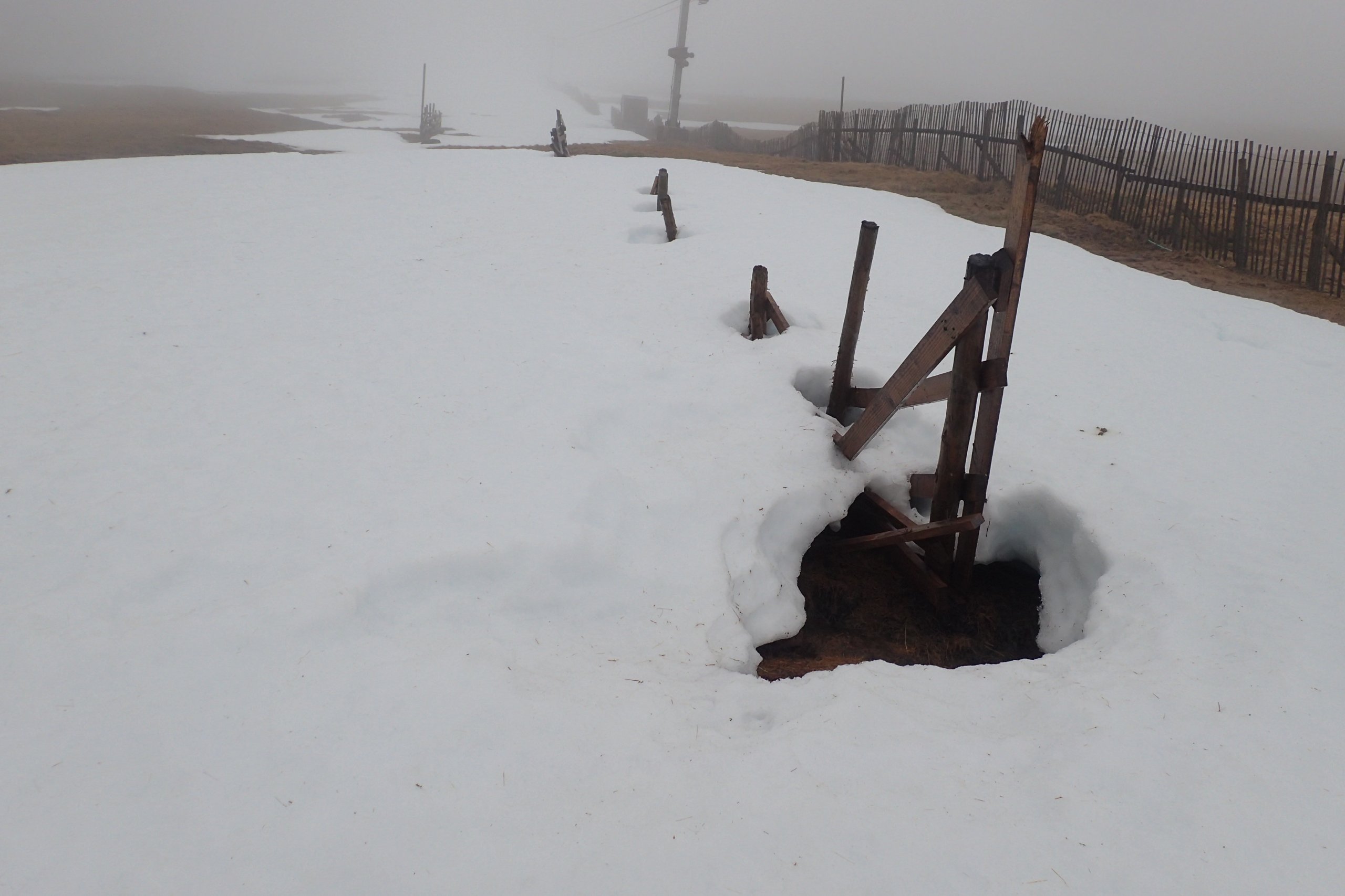
It was another cloudy and damp day. Notice how much more melting there has been around the wooden posts.
The past few days have been mild, wet and windy. As the photos in yesterdays blog and those shown below, the snowpack has been significantly reduced. The change has been much more significant than if we had had the same temperatures, but the weather had been dry and clear weather. Why is that? Well the obvious answers is that the warmth of the rain melts the snow, and this is true to some extent. However, if we look a bit more carefully, things are a bit more complicated that than that simple pictures. In fact, a good rule of thumb is that if you look more carefully at any aspect of snow in detail, things are more complicated than they initially seem.
So to better understand what is going on we need to have a wee think about heat, energy and latent heat. Letâs first consider a block of snow or ice well below freezing. As you put energy into the snow/ice it heats up until it reaches 0°C. As you continue putting energy in, the temperature remains constant while the state of the snow/ice starts to change, it starts melting. The energy required change the state of a unit mass of ice to water is called latent heat of fusion. The process also works in reverse, to remove that amount of energy from a unit mass of water at 0°C would produce ice at 0°C.
Anyway, back to our thought experiment; once all the ice has melted (become water at 0°C), the temperature will again increase with the addition of energy. The rate of temperature increase with energy input is called the specific heat capacity of water. It not perfectly linear, it does vary slightly with temperature. However, this effect is minor and for our purposes can be considered constant at around 4 KJ/Kg. Eventually the liquid reaches its boiling point, which at standard atmospheric conditions is 100°C. Again adding more energy will not heat the water past 100°C, it will just boil it off. The energy required to turn water to a vapour is called the latent heat of vapourisation, and it is large, about 2260 KJ/KG. Eventually all the water will have boiled off, and adding more energy would further increase the temperature of the vapour.
The important factor in the melting of snow (and numerous other meteorological phenomenon) is the relative sizes of these factors. The latent heat of fusion is around 80 times larger than the specific heat capacity of water. What this means that the 334 KJ which be require to melt a kilogram of ice at 0°C, could also heat a kilogram of water from 0°C to around 80°C.
When rain at say 5°C falls on the surface of the snowpack is cooled to 0°C. The energy required to cool the rain by this amount melts some of the ice grains which make up the snowpack. However, the energy required to cool the rain from 5 °C to 0°C is small, around 20 KJ/Kg, which is only about 6% of the 334 KJ/KG required to melt ice. Doing a quick bit maths, which I will spare you, I calculate that this effect would only have melted a few centimetres of snow over the past few day. Obviously, a lot more snow than that has gone, a few tens of centimetres.
I read online recently that rain is only responsible for about 10% of total snow melt, which given the values discussed above would roughly agree with my calculation.

Lower falls on the River Nevis a couple of days ago. This is where the snowpack has gone, much of it is now in Loch Linnhe.
So, if it is not rain, what does melt the snowpack so rapidly in mild damp conditions. Well there are a few factors, but one of them will be condensation on the surface of the snowpack. When the weather is warm and cloudy, then liquid water will be condensing on the (relatively) cool surface of the snowpack. Condensing a vapour gives off energy, a lot of energy, around 2260 KJ/Kg. This is almost 8 times the latent heat of fusion, meaning that one unit of water condensing on the surface of the snow pack will melt almost 8 units of ice. The effect is more pronounced if there is a breeze keeping that mild air flowing over the snow. That way there is a fresh supply of moist air condensing over the snow pack, releasing its latent heat and helping to power the melting process. (As an aside the large latent heat of vapourisation can preserves the snowpack. In dry settled conditions vapour process goes the other way and vapour will be evaporating/sublimating off the surface of the snowpack, cooling it down. That is why on dry days in shady locations the surface of the snowpack can remain firm and icy despite the air temperature being above freezing. We may well see this effect in action in shady locations over the next few days.)
Another factor that increases melt is that rain immediately contacts the surface of the ice crystals within the snow and displaces the air that is normally there. Air is an insulator, water isnât. This speeds up the natural melting of the snow because of the increased conductivity and heat flow from the air, the ground or any other object such as a wooden post (see picture above) which is above 0°C. This is one of the reasons you get more melt around objects that stick through the snow, than where there is just snow.
So that is a brief (or not so brief as it turned out) summary of some of the reasons the mild and damp conditions have had such an effect on the snowpack. I have made some simplifications and I am sure there are other effects I have not thought of , but as I said earlier, snow is complicated!
Comments on this post
Got something to say? Leave a comment


That Guy from The Internet
31st March 2021 6:15 pm
Awesome science, Blair!
Thanks for taking the time to explain it all in such a way that less sciency people like me can get a handle on it.
Murdoch Jamieson
31st March 2021 7:38 pm
Nice one Blair! Some really interesting and educational blogs from you this year. Keep it up. Its cool to see the application of physics and how it influences our activities and decisions on the mountains.
HARRIS KEILLAR
31st March 2021 8:02 pm
Great explanation. Alpine snow and snow in the Rockies remains far longer than one might expect given the high temperatures and much higher sun angle both these places get, though they are less windy and much drier than ‘our’ hills.
Tina C
1st April 2021 8:32 am
A thoroughly good read – even for the non-scientific brain. Must take the lead as the longest blog from SAIS in a long while – see we do read them & appreciate the time taken.
Alistair Docherty
1st April 2021 11:52 pm
This is great. Cheers Blair. Never thought about the shady firm snow on those sunny warm days that still makes for great skiing when it’s soggy and cloudy the next day. Makes a lot of sense!
James C
2nd April 2021 8:26 pm
A great read, and thank you for the effort, it is really appreciated!
lochaberadmin
5th April 2021 6:50 pm
Thanks for all the comments folks, glad you enjoyed it. Will try and do a few more posts to ponder other snow sciency questions in the future.